
Kinderdijk
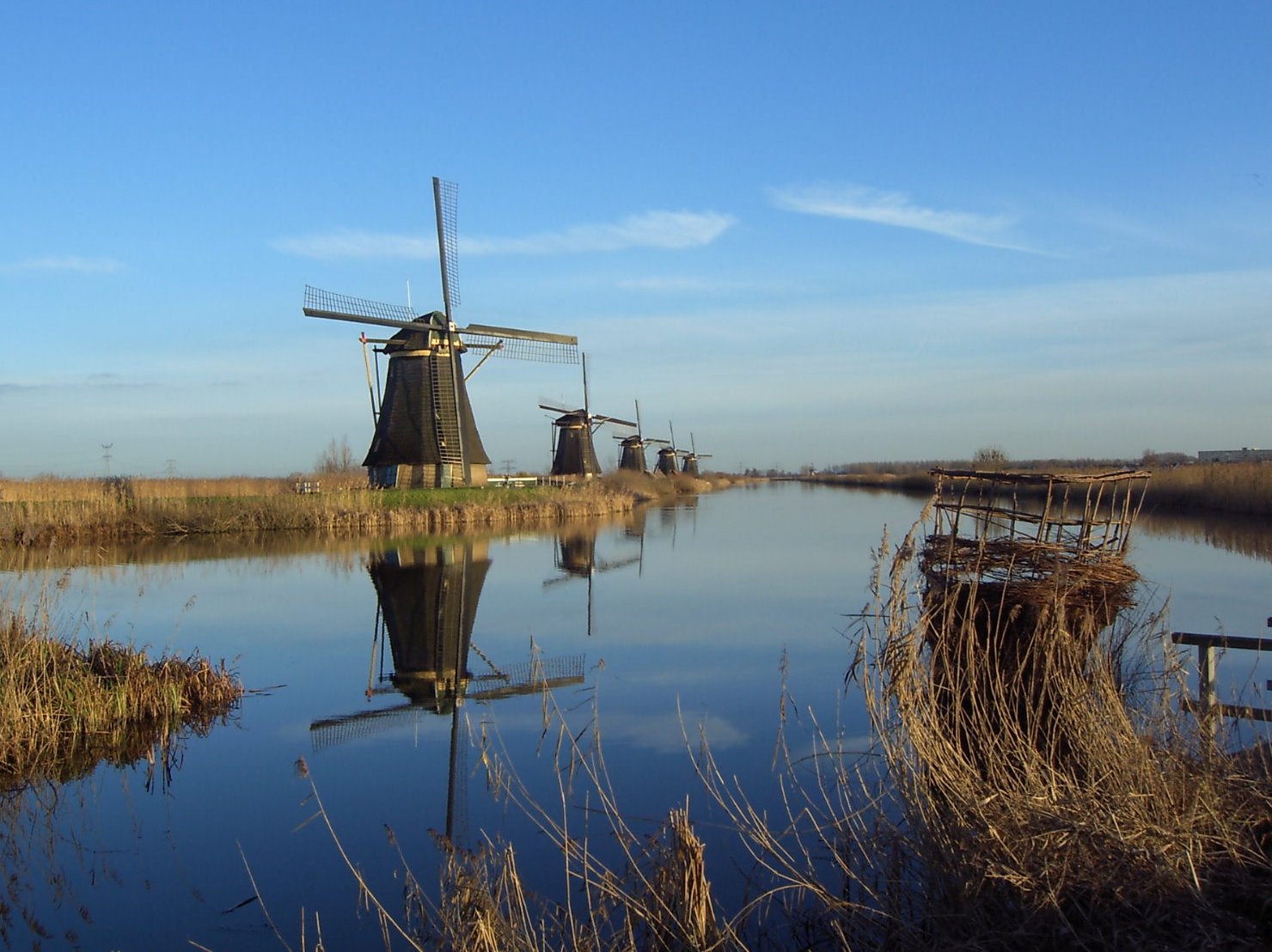
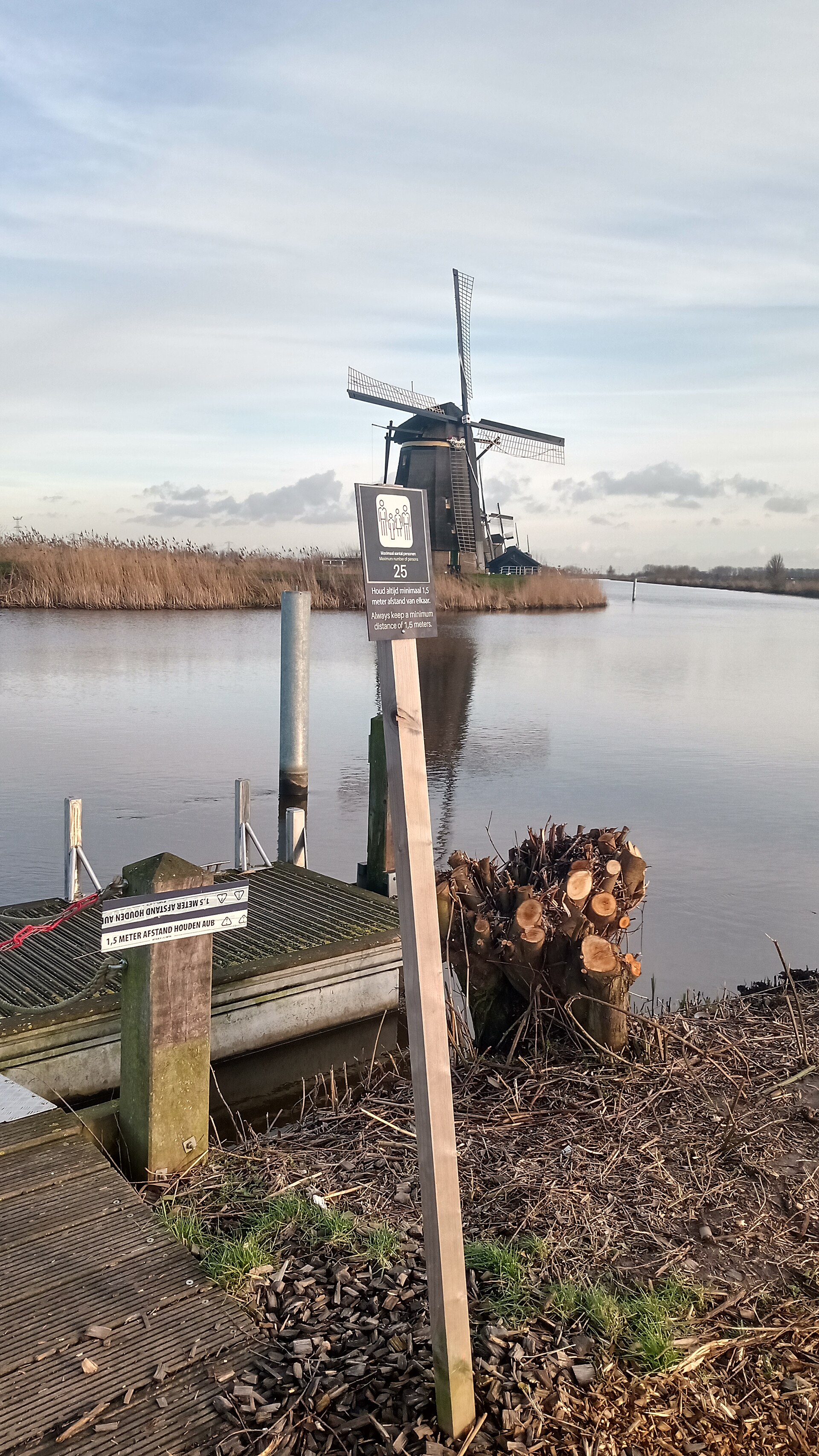
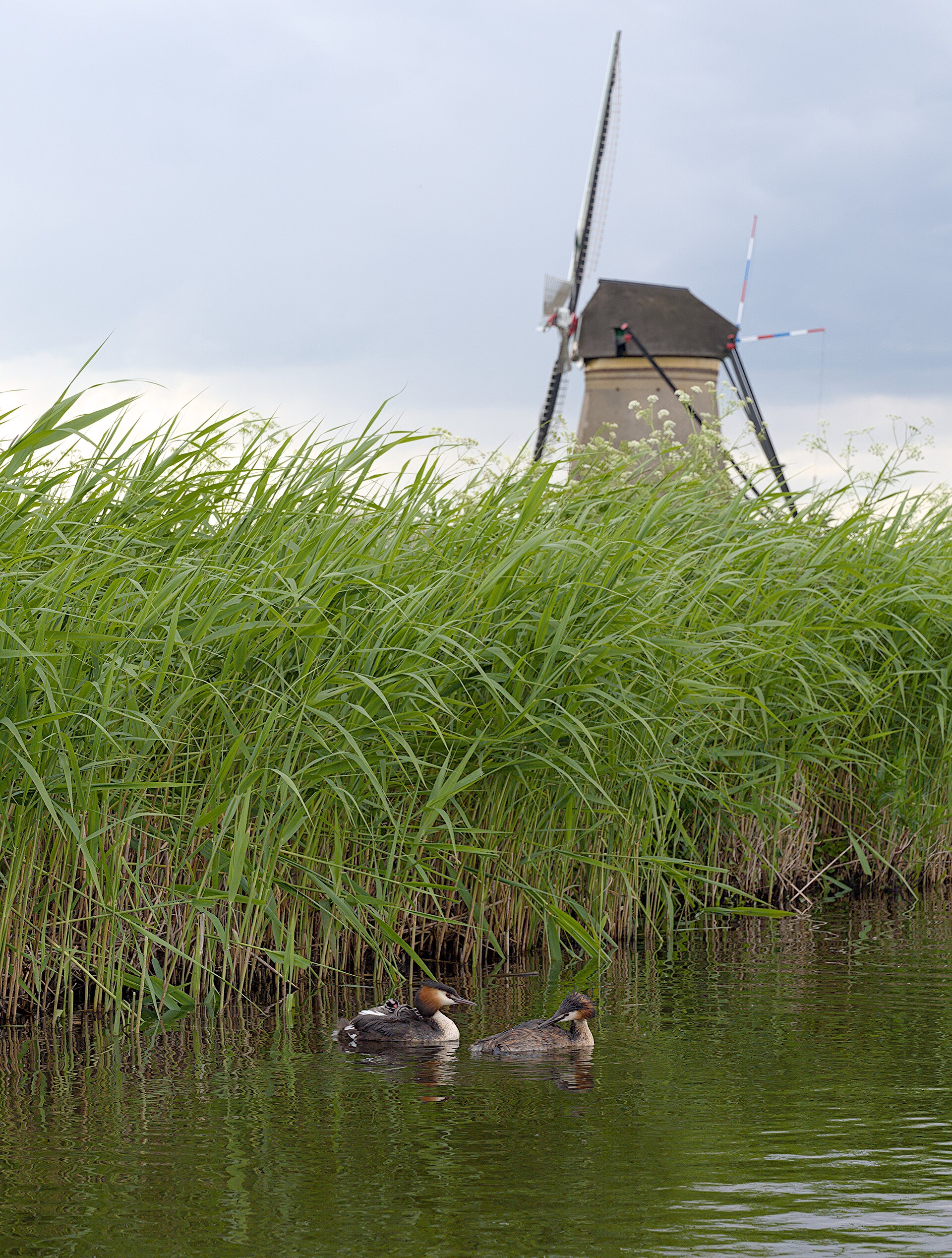
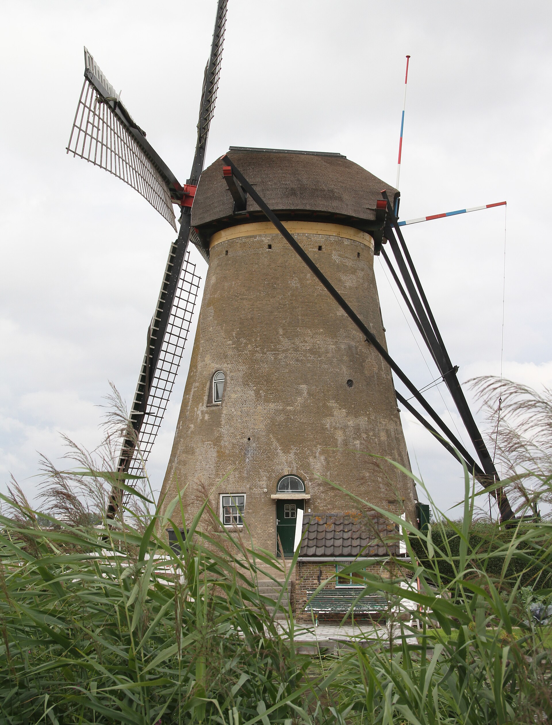
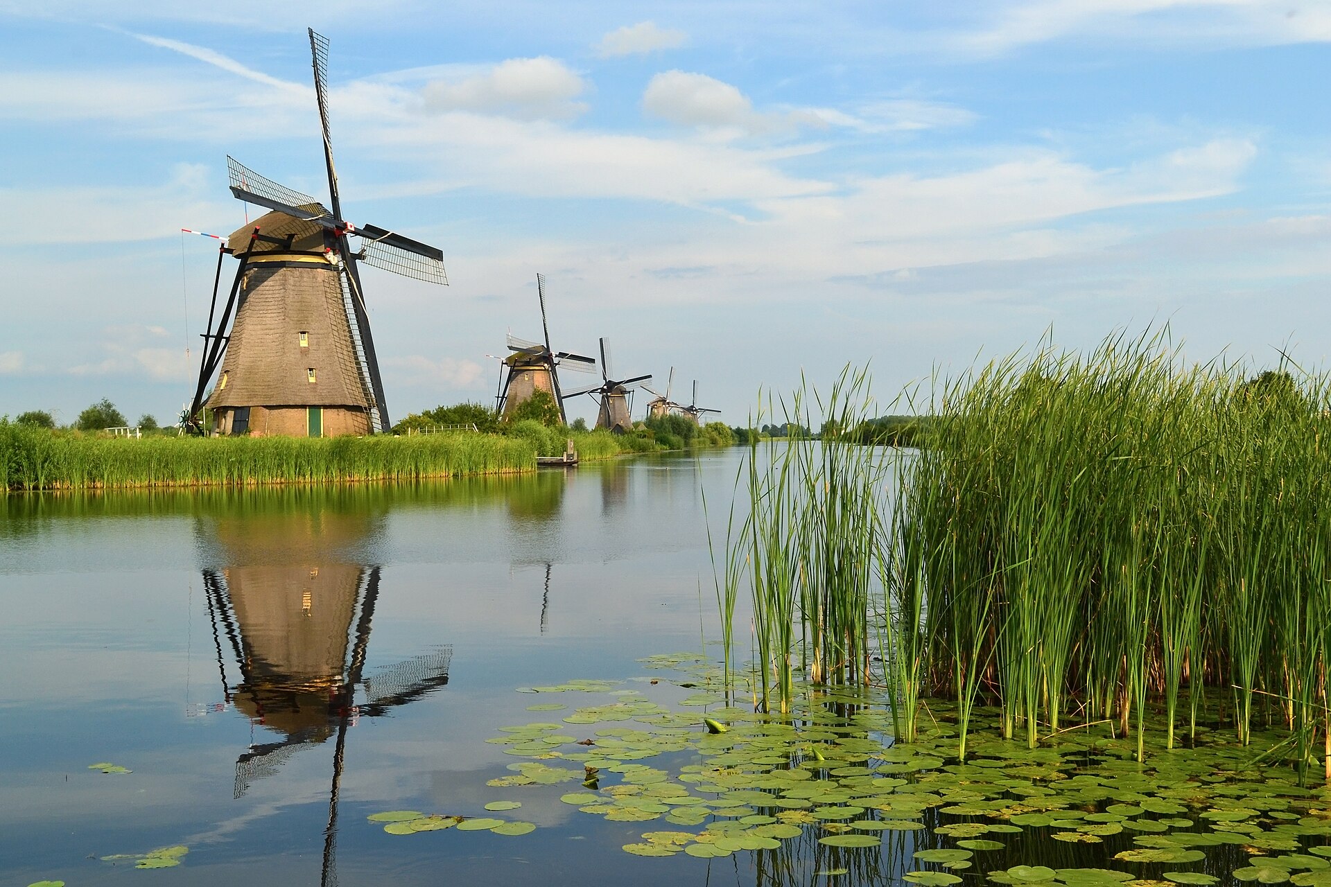
Nineteen windmills stand in two long rows across a flat polder east of Rotterdam, their sails occasionally turning, their brick and timber bodies reflected in the drainage channels below. Kinderdijk is not a reconstruction or a theme park — people live in most of these mills, hold miller's diplomas, and carry out the same maintenance routines their predecessors did.
The site covers the Alblasserwaard polder in South Holland, a landscape that exists only because of continuous, organised effort to keep the water out. Walking the dyke paths between the mills, you get a clear sense of how much of the Netherlands is an argument with geography.
How Kinderdijk came to be
The Alblasserwaard has been fighting water since the 13th century. Floris V, medieval ruler of Holland, established the region's first water authorities — among the earliest of their kind anywhere. The infrastructure that makes Kinderdijk legible today came later: eight brick Nederwaard mills in 1738, eleven wooden Overwaard mills in 1740, all built to pump the polder dry.
Steam, then diesel, then electricity gradually replaced wind power through the 19th and early 20th centuries. During the fuel shortages of World War II, the mills returned to active use. After the war they were decommissioned, and millers were released from their contracts. In 1997, the Kinderdijk-Elshout complex was inscribed as a UNESCO World Heritage Site, recognising what the whole system — mills, pumping stations, waterways — represents as a piece of water-management history.
Who and what shaped it
People who shaped it
Landmark buildings
See Kinderdijk in motion
Plan your visit
On the map
When to go
Kinderdijk has a marine west-coast climate: mild summers rarely exceeding 22°C, cool and damp winters. Rain is possible on roughly 200 days a year, so a light waterproof is sensible even in summer; May through September offers the most reliable sunshine and the most comfortable temperatures for walking the dyke paths.
Right now
Background & history adapted from Wikipedia (CC BY-SA) · specs from Wikidata (CC0) · weather from Open-Meteo · map data © OpenStreetMap contributors · photos from Wikimedia Commons / Unsplash with per-image credit. No third-party reviews or social posts reproduced.