
Khor Fakkan

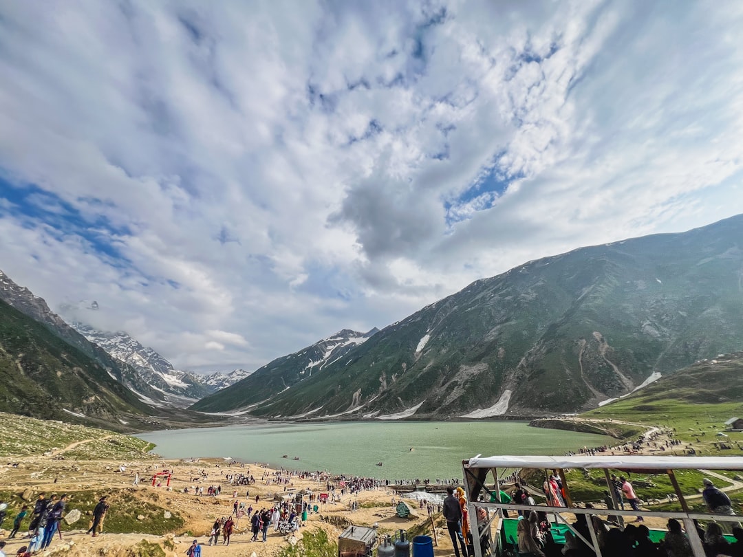
Khor Fakkan sits on the Gulf of Oman side of the UAE — the eastern coast, the one that faces open water rather than the Persian Gulf's sheltered shallows. That geography has defined everything here: a natural deep-sea harbour that drew traders and conquerors for millennia, a crescent beach backed by the Hajar Mountains, and a pace that feels noticeably different from the emirates on the other side of the range.
This is an exclave of Sharjah, which means it operates under Sharjah's emirate laws while sitting geographically apart from it. The container terminal handles serious maritime freight; the corniche handles Friday afternoons. Both feel true to the place.
How Khor Fakkan came to be
Excavations from 1995 found evidence of settlement here reaching back to the second millennium BC, on the mountain peaks above the bay. By medieval times the port was trading actively enough to attract serious attention — Portuguese forces under Afonso de Albuquerque arrived in 1507, and around 1620 Captain Gaspar Pereira Leite oversaw construction of a triangular fort with bastions and a central round tower. It was a ruin within fifty years.
The following two centuries saw the Portuguese, Omanis, and Persians contest the town, with the Omanis eventually prevailing. In 1832 the Sheikh of Sharjah took control, and when Britain recognised Fujairah as a separate state in 1952, Khor Fakkan stayed with Sharjah — an arrangement that still shapes its unusual exclave status today. The container terminal opened in 1979, anchoring the town's modern identity around the same harbour that has always been its reason for existing.
Who and what shaped it
People who shaped it
Landmark buildings
See Khor Fakkan in motion
Plan your visit
On the map
When to go
Winters (November through March) are the window to visit — temperatures settle into the low-to-mid twenties Celsius and the mountain air carries some coolness at elevation. Summers are genuinely harsh, with humidity and heat pushing well above 40°C; the beach and outdoor trails are best left for cooler months.
Right now
Background & history adapted from Wikipedia (CC BY-SA) · specs from Wikidata (CC0) · weather from Open-Meteo · map data © OpenStreetMap contributors · photos from Wikimedia Commons / Unsplash with per-image credit. No third-party reviews or social posts reproduced.