
Khao Yai National Park
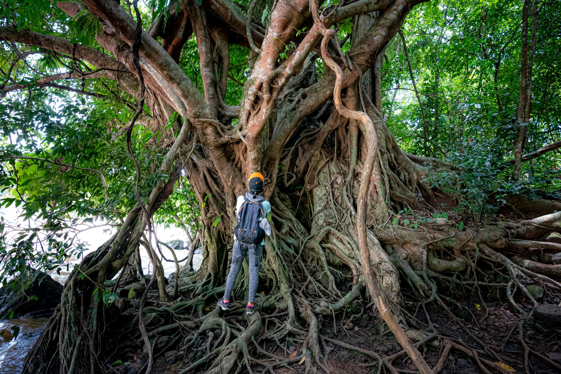
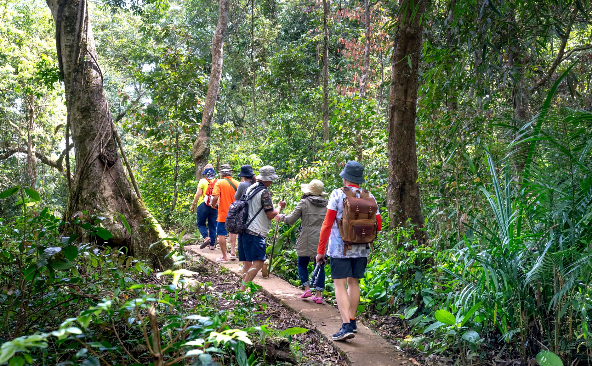
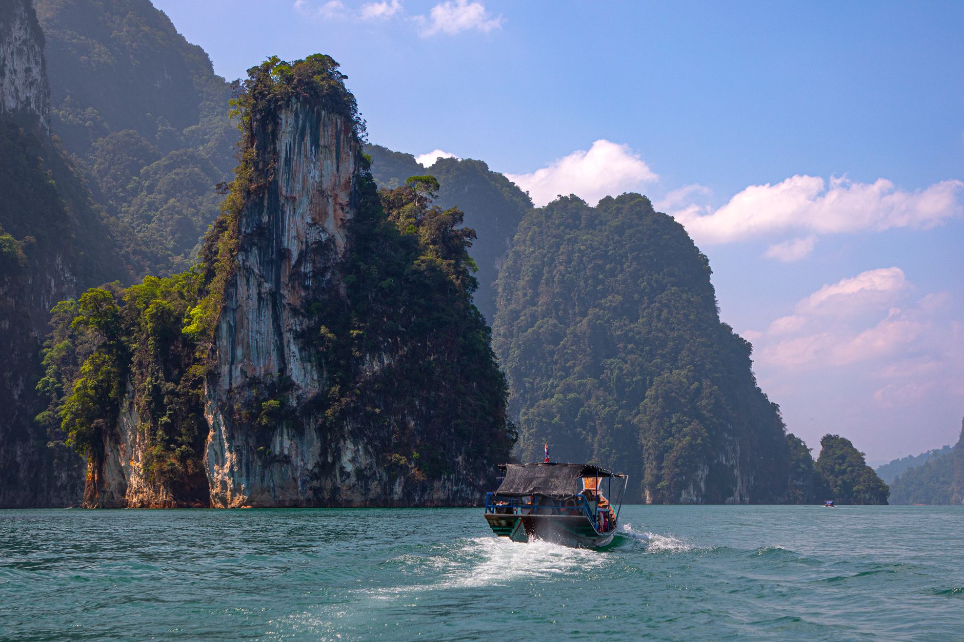
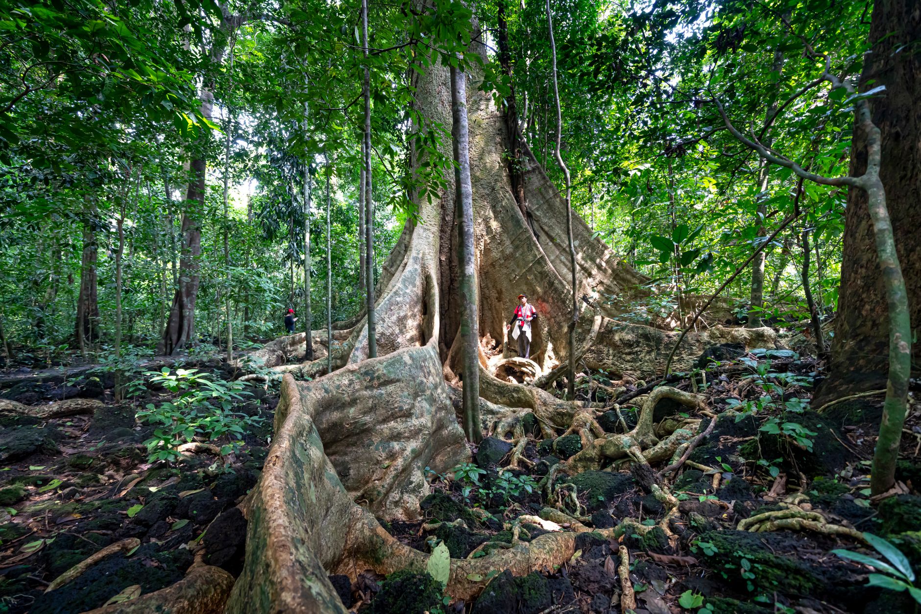
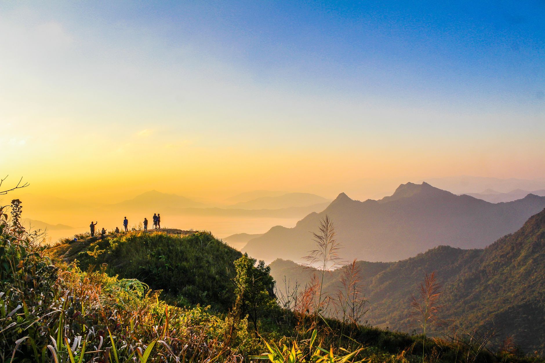
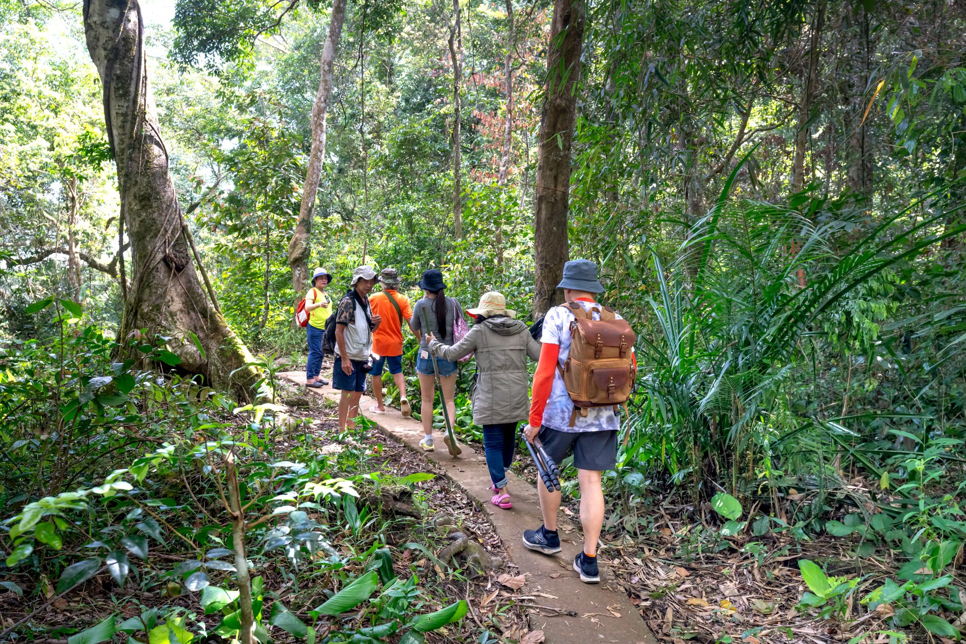
Three hours north-east of Bangkok, the road climbs into a different world — dense evergreen forest, a chorus of gibbons at dawn, and the occasional elephant standing in the mist beside the tarmac. Khao Yai covers more than 2,000 square kilometres of the Dong Phayayen highlands and holds some of the most intact tropical forest remaining in mainland South-East Asia.
The park rewards patience over ticking off sights. Haew Narok waterfall drops 150 metres in three tiers through the forest canopy. The KM 30 viewpoint on Thanarat Road juts out on a stone platform 900 metres above the plains. And at Nong Phak Chi, a 20-metre observation tower overlooks a waterhole where wildlife arrives on its own schedule.
💛 What travellers fall for
People who come back tend to arrive early, right at the 06:00 opening, when gibbons are loudest and the light is low through the trees. They also mention the Sai Sorn Reservoir at quiet hours — named for the park's first chief — as a reliable spot for birds before the tour vehicles arrive.
How Khao Yai National Park came to be
Thailand's national park system began with a directive from Premier Sarit Thanarat in 1959, supported by IUCN adviser Dr G.C. Ruhle. The result was a royal proclamation on 18 September 1962 establishing Khao Yai as the country's first national park. Conservationist Boonsong Lekagul played a significant role in bringing it into being.
The land's story is longer and more complicated. In 1932, the government relocated the Khao Yai village community to the plains of Prachinburi and Nakhon Nayok. By 1984 the park had become an ASEAN Heritage site, and in 2005 it was inscribed as a UNESCO World Heritage Site under the broader designation Dong Phayayen–Khao Yai Forest Complex.
Who and what shaped it
People who shaped it
Landmark buildings
See Khao Yai National Park in motion
Plan your visit
On the map
When to go
The cool, dry season from November to February is the most comfortable for walking — temperatures drop noticeably at elevation. The wet season (May to October) brings heavy rain and lush vegetation but can make trails slippery and some roads impassable.
Right now
Background & history adapted from Wikipedia (CC BY-SA) · specs from Wikidata (CC0) · weather from Open-Meteo · map data © OpenStreetMap contributors · photos from Wikimedia Commons / Unsplash with per-image credit. No third-party reviews or social posts reproduced.