
Kelvin Heights
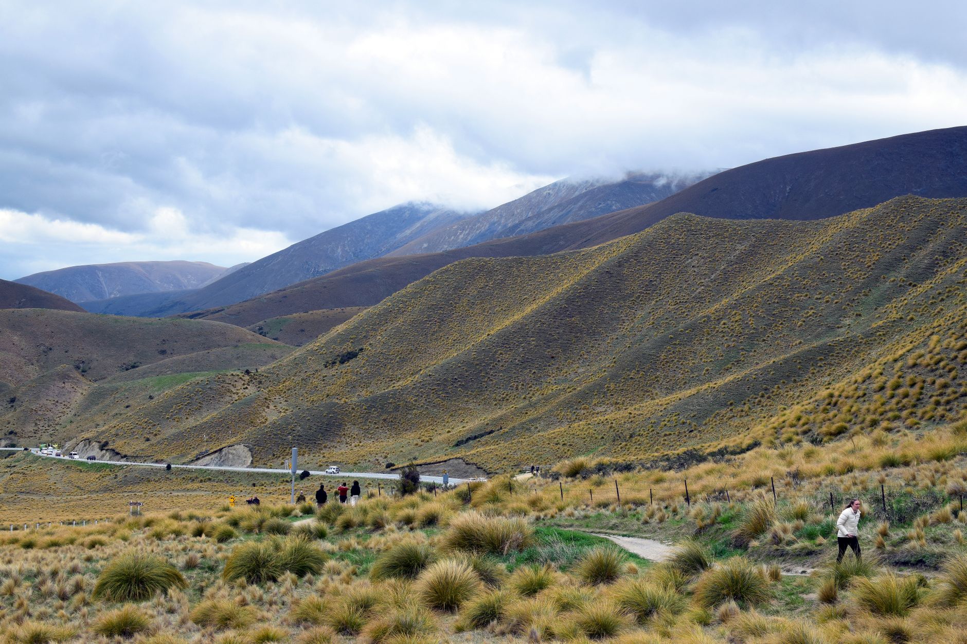
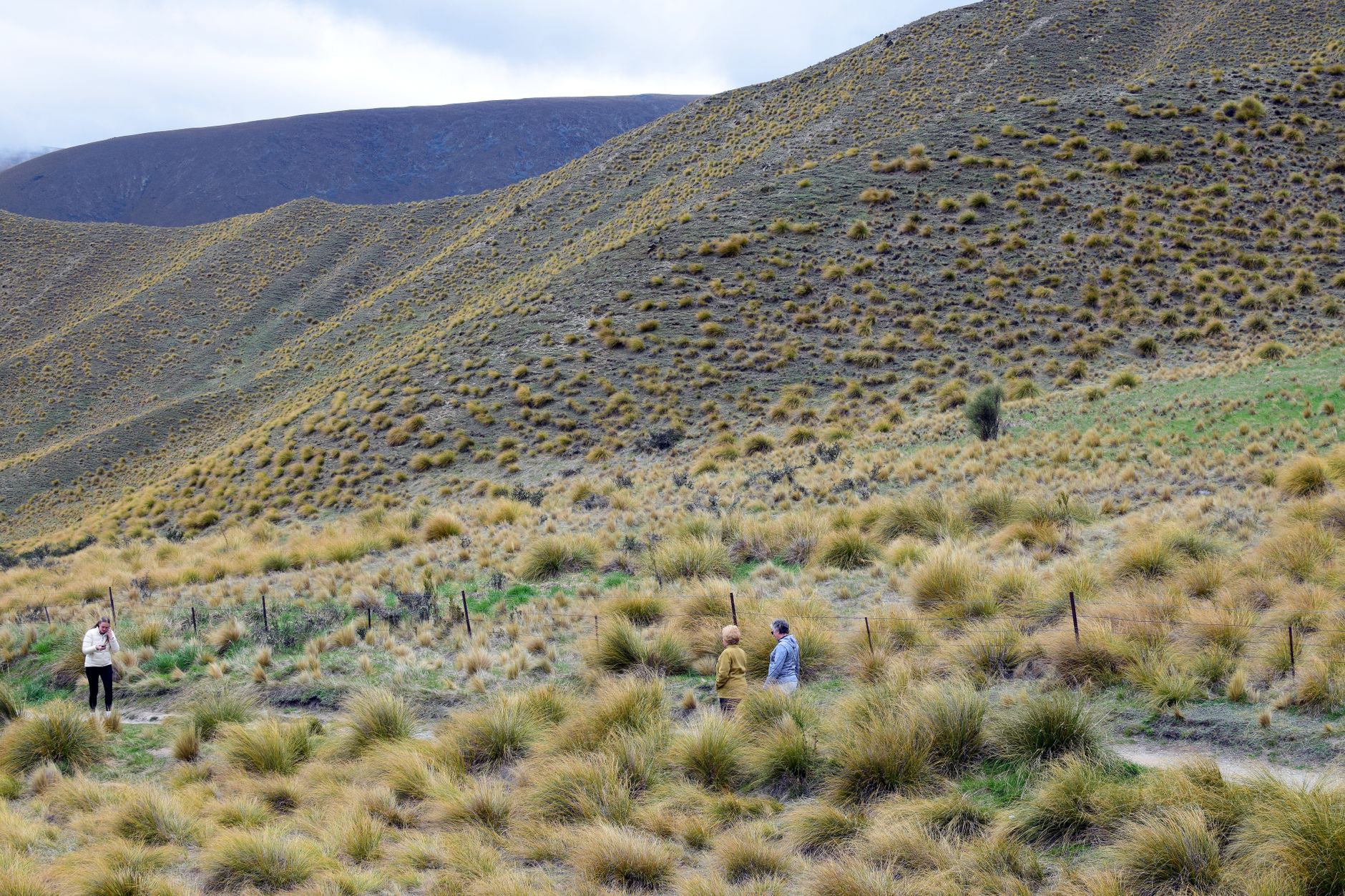
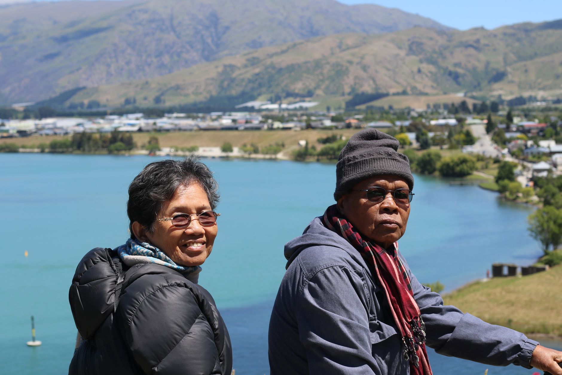
The peninsula that curls into Lake Wakatipu just south of Queenstown proper is quieter than its neighbour in a way that registers immediately — fewer cars, longer sightlines, the sound of water on three sides. Kelvin Heights sits on this finger of land, a low-key residential suburb of roughly 1,200 people whose main street is essentially a lakeside walking trail.
What draws people out here, besides the golf course that occupies the western tip, is the Kelvin Peninsula Trail — 3.5 kilometres of easy shoreline path with unobstructed views of the Remarkables across the Frankton Arm. The sculptures placed along the route by an anonymous donor give it an unexpected quality: you round a bend expecting lake and mountain, and find Mark Hill's work instead.
💛 What travellers fall for
People who come back tend to time it around the golf. The course at Queenstown Golf Club is public, non-members are welcome, and arriving by water taxi from Steamer Wharf — rather than driving the 20 minutes from town — is the kind of small decision that reframes the whole afternoon. Terry's Cove on the walking trail is the reliable spot to stop and watch Cecil and Walter Peak go through their afternoon light.
Deals in Kelvin Heights
Book directly at the provider


How Kelvin Heights came to be
Before European settlers arrived, the peninsula was known to Ngāi Tahu as Te Nuku-o-Hakitekura — the Expanse of Hakitekura — named for a Kāti Māmoe woman said to be the first person to swim across Lake Wakatipu. Settlers renamed it the Kawarau Peninsula, then Kelvin Peninsula, and the suburb that grew on it eventually took the name Kelvin Heights.
The Kawarau Falls Bridge at the peninsula's northern edge, completed in 1926, is structurally a dam — it controls the outlet of Lake Wakatipu into the Kawarau River. The Queenstown Golf Club formed in 1927, though it didn't move to its current Kelvin Heights course until 1973, when the Hensman and Grant families laid out the 18 holes across the headland with guidance from Commander John Harris.
Who and what shaped it
Landmark buildings
See Kelvin Heights in motion
Plan your visit
On the map
When to go
Summer days on the peninsula can reach 30°C with long evening light, while the trail is equally walkable through autumn. From May to August, temperatures drop well below freezing overnight and snow is common — conditions that suit golfers and hardy walkers more than most.
Right now
Background & history adapted from Wikipedia (CC BY-SA) · specs from Wikidata (CC0) · weather from Open-Meteo · map data © OpenStreetMap contributors · photos from Wikimedia Commons / Unsplash with per-image credit. No third-party reviews or social posts reproduced.