
Kefalonia
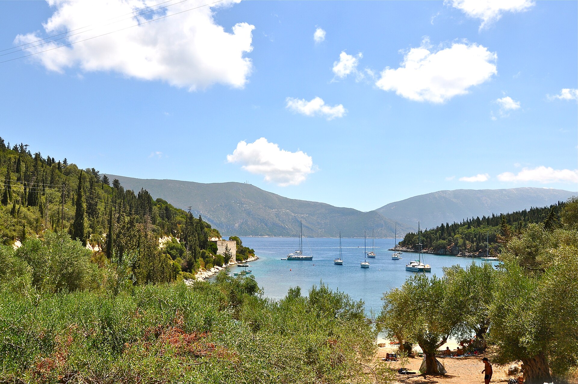
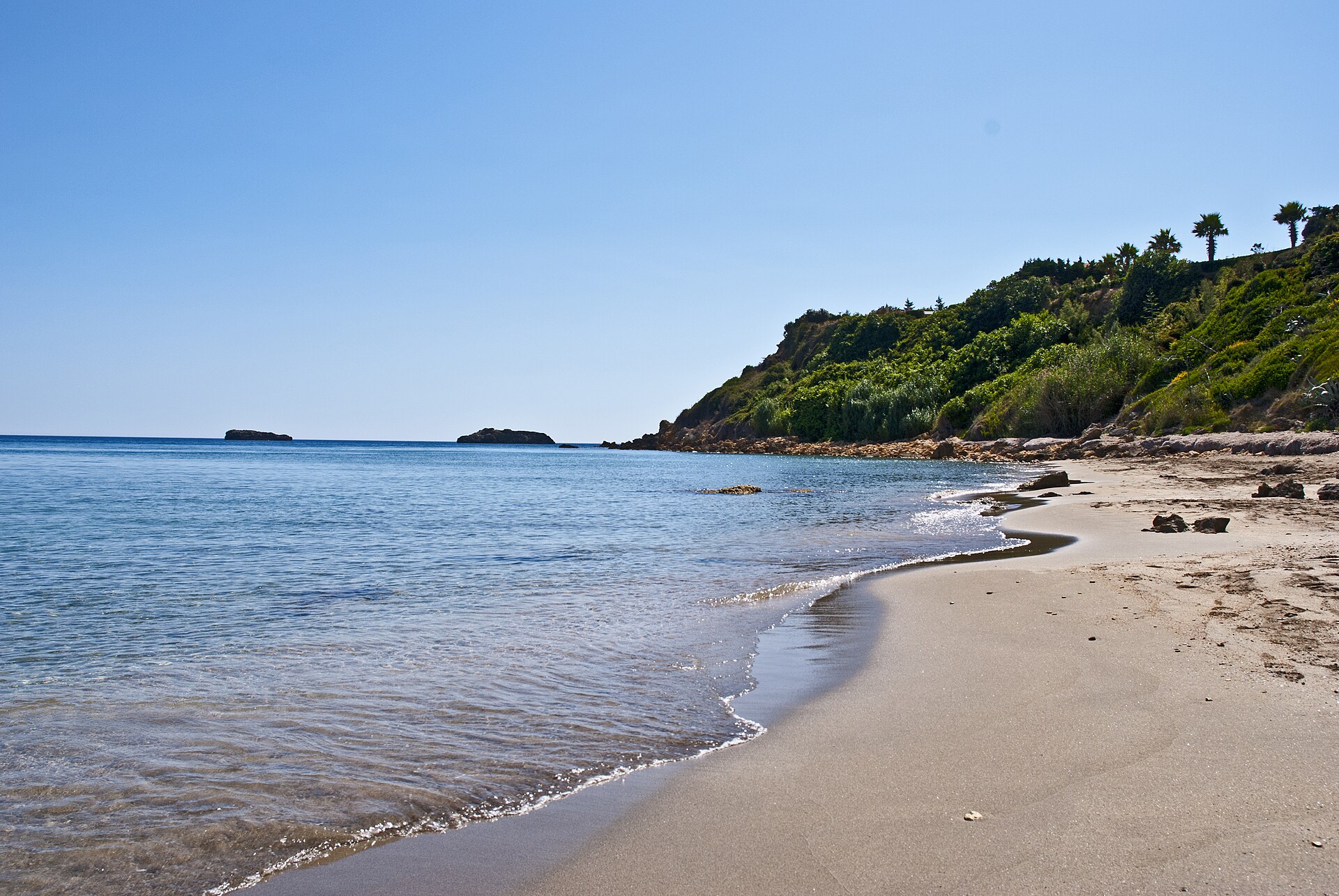
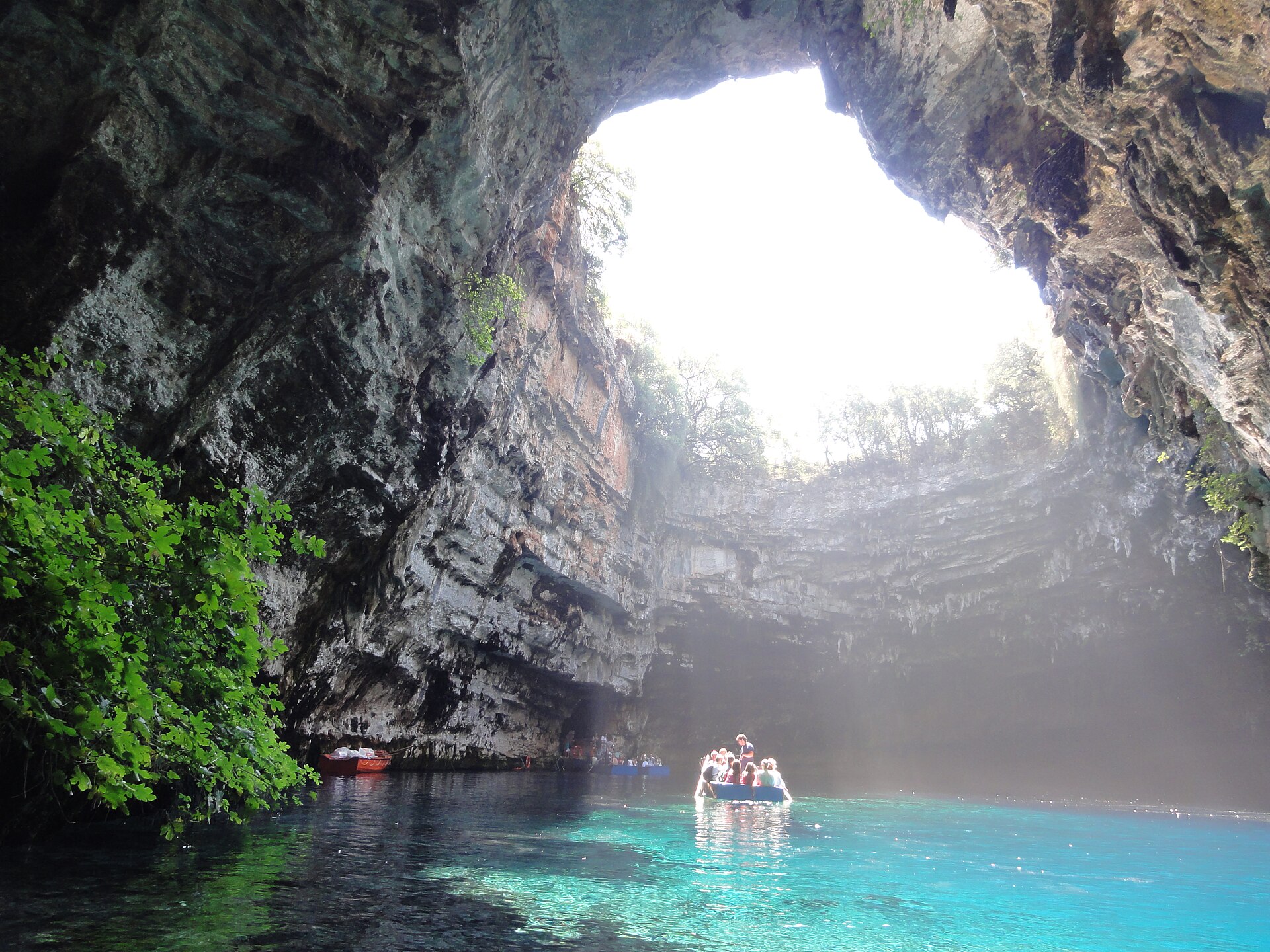
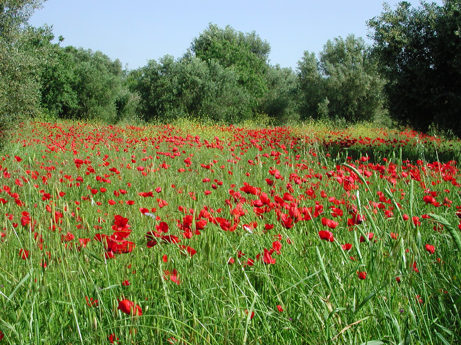
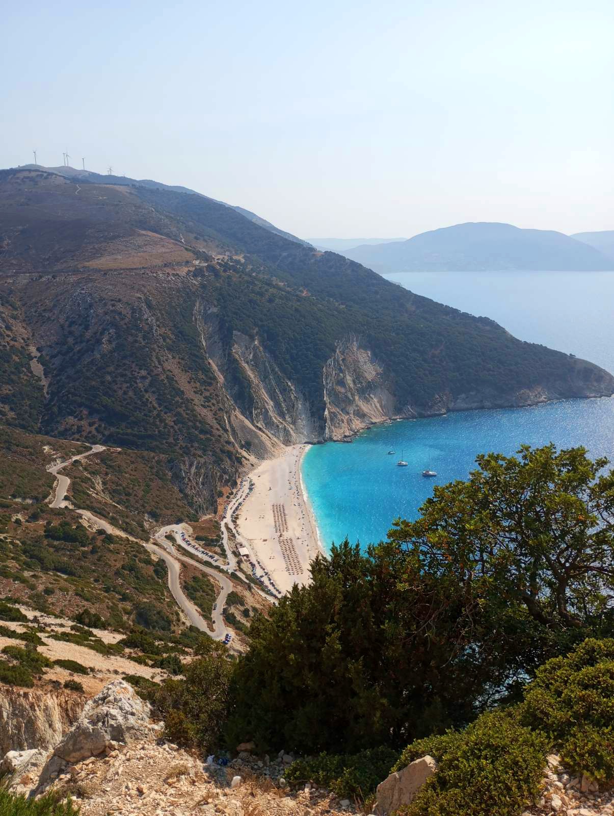
Kefalonia is the largest of the Ionian Islands, and the 1953 earthquake that levelled most of it is quietly written into everything you see. The rebuilt villages sit lower and squatter than their predecessors; Fiscardo, the one place the earthquake skipped, gives you the clearest sense of what the island looked like before. Beneath the surface, time runs deeper still — Mycenaean tombs lie five kilometres outside Argostoli, and a cave lake at Karavomylos opens onto water so lit by refracted light it looks staged.
Mount Ainos, the only national park on a Greek island, pushes above 1,600 metres and carries its own weather. Down at sea level, the island has five working ports, two Venetian castles, and a library that ranks third in Greece by collection size. There is more infrastructure here, and more texture, than its reputation as a beach island tends to suggest.
💛 What travellers fall for
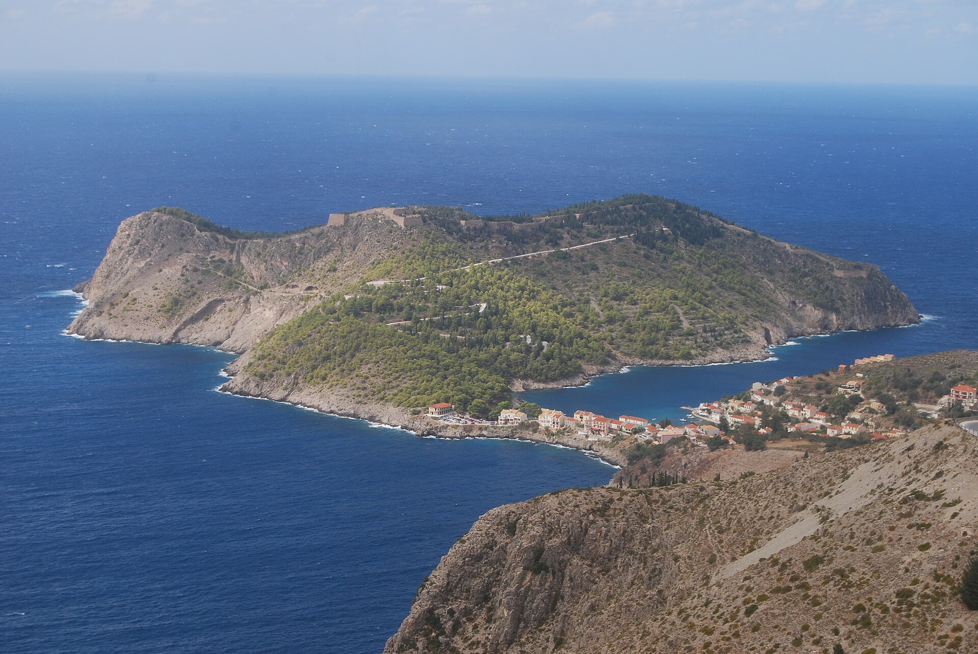
People who come back tend to make for Fiscardo first — small harbour, intact architecture, the poet Nikos Kavvadias grew up somewhere in these streets. They also learn quickly that a car is not optional: the five ports alone are spread across the coastline, and the mountain roads to Assos require patience in both directions.
How Kefalonia came to be
The island takes its name from Kephalos, its legendary first king, whose four sons gave their names to the island's original cities — Sami, Pahli, Krani, and Pronnoi — earning Kefalonia the ancient title Tetrapolis. Human presence here reaches back to the Middle Palaeolithic, and by the 11th century BC the island had become a node of Mycenaean culture. Rome took it in 187 BC after a prolonged siege; Venice held it from 1500 to 1797, leaving behind the Castle of Saint George above Peratata and the Castle of Assos on its peninsula.
The British arrived in 1809 and left a different kind of mark: the De Bosset Bridge across the lagoon at Argostoli, the Lighthouse of Saint Theodoroi, a courthouse, a market. Kefalonia joined independent Greece in 1864. In September 1943, after Italy's capitulation, German forces killed more than 5,000 Italian soldiers who had refused to disarm — one of the war's larger massacres on Greek soil. A decade later, in August 1953, an earthquake erased most of what centuries had built.
Who and what shaped it
People who shaped it
Landmark buildings
See Kefalonia in motion
Plan your visit
On the map
When to go
Summers are long, dry, and hot, with the peak of July and August bringing intense heat and the island's highest visitor numbers. Spring and September offer cooler temperatures and easier movement around the island; winters are mild but wet, and several ferry routes reduce frequency considerably.
Right now
Background & history adapted from Wikipedia (CC BY-SA) · specs from Wikidata (CC0) · weather from Open-Meteo · map data © OpenStreetMap contributors · photos from Wikimedia Commons / Unsplash with per-image credit. No third-party reviews or social posts reproduced.