
Kayangel

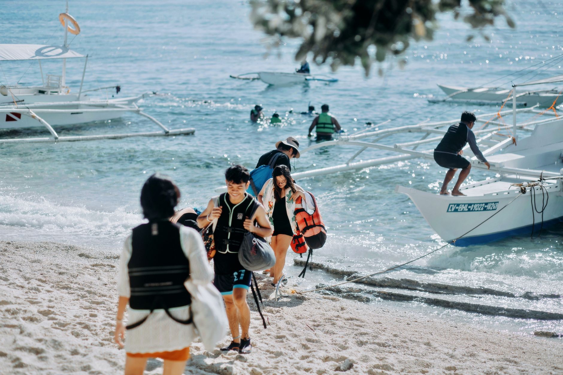
Kayangel sits at the northern edge of Palau, 86 kilometres above Koror, where the Pacific opens up and the population drops to around 54 people. The atoll runs roughly seven kilometres north to south, enclosing a shallow lagoon — six metres deep on average — that turns colours you won't easily name. Five villages stretch along the western, lagoon-facing shore for less than two kilometres, their boundaries blurring into one another.
Power here comes from solar panels or private generators. The one small store stocks the basics; everything else is caught from the sea or grown from the ground. Kayangel's bananas have a reputation across all of Palau, and the local habit of eating them with peanut butter is one of those small, specific things that stays with you.
💛 What travellers fall for
People who've made the trip more than once tend to mention the same things: arrive at Ulach pass at low tide and watch the turtles work the current, ask your homestay family about the banana harvest, and find the man on the beach whose slipper collection — gathered from the shoreline, acknowledged by the Palau International Coral Reef Center — is quietly one of the more affecting things in the country.
Deals in Kayangel
Book directly at the provider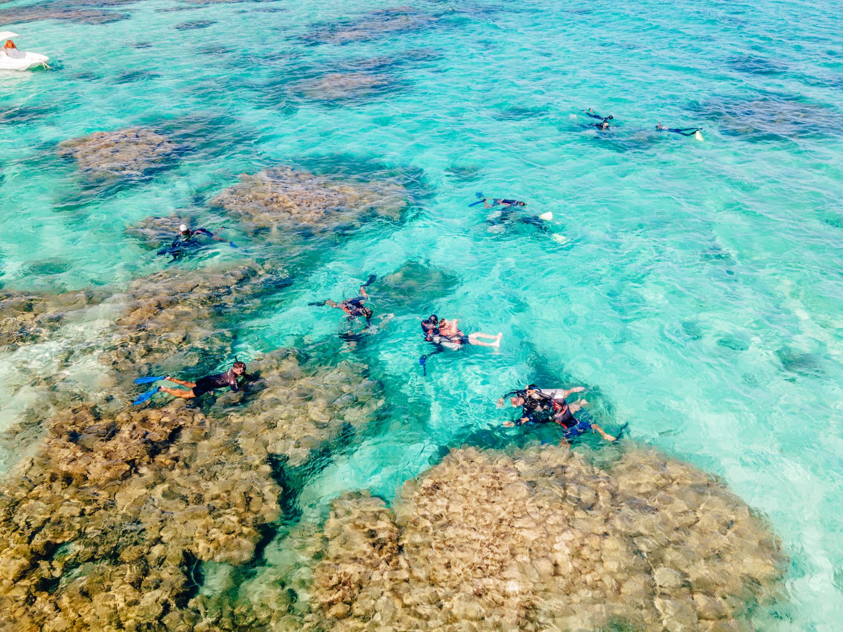


How Kayangel came to be
Radiocarbon evidence places people on Kayangel as early as the 1st century AD, making it one of the longer-settled corners of Micronesia. Spanish colonisation reached the islands in the late 16th century; in 1899 Spain sold the territory to the German Empire. Germany held it until World War I, then Japan administered the atoll until the end of World War II, after which the United States took over governance.
Palau's independence eventually brought Kayangel its own constitution in 1983 and a functioning state government by 1984. In 2013, Typhoon Haiyan flooded every part of the island and destroyed every home. All 69 residents at the time were affected; no one died. The JFK Kayangel Elementary School, built in 1965 on a site where students once took classes in a traditional bai, remains a quiet marker of how much the island has absorbed and rebuilt.
Who and what shaped it
People who shaped it
Landmark buildings
See Kayangel in motion
Plan your visit
On the map
When to go
Kayangel runs warm year-round, around 28°C, with heavy rainfall in most months. The drier window from December through April is the more reliable time to travel — the sea is calmer, which matters when your only way in or out is a speedboat reading the weather.
Right now
Background & history adapted from Wikipedia (CC BY-SA) · specs from Wikidata (CC0) · weather from Open-Meteo · map data © OpenStreetMap contributors · photos from Wikimedia Commons / Unsplash with per-image credit. No third-party reviews or social posts reproduced.