
Kathmandu Valley
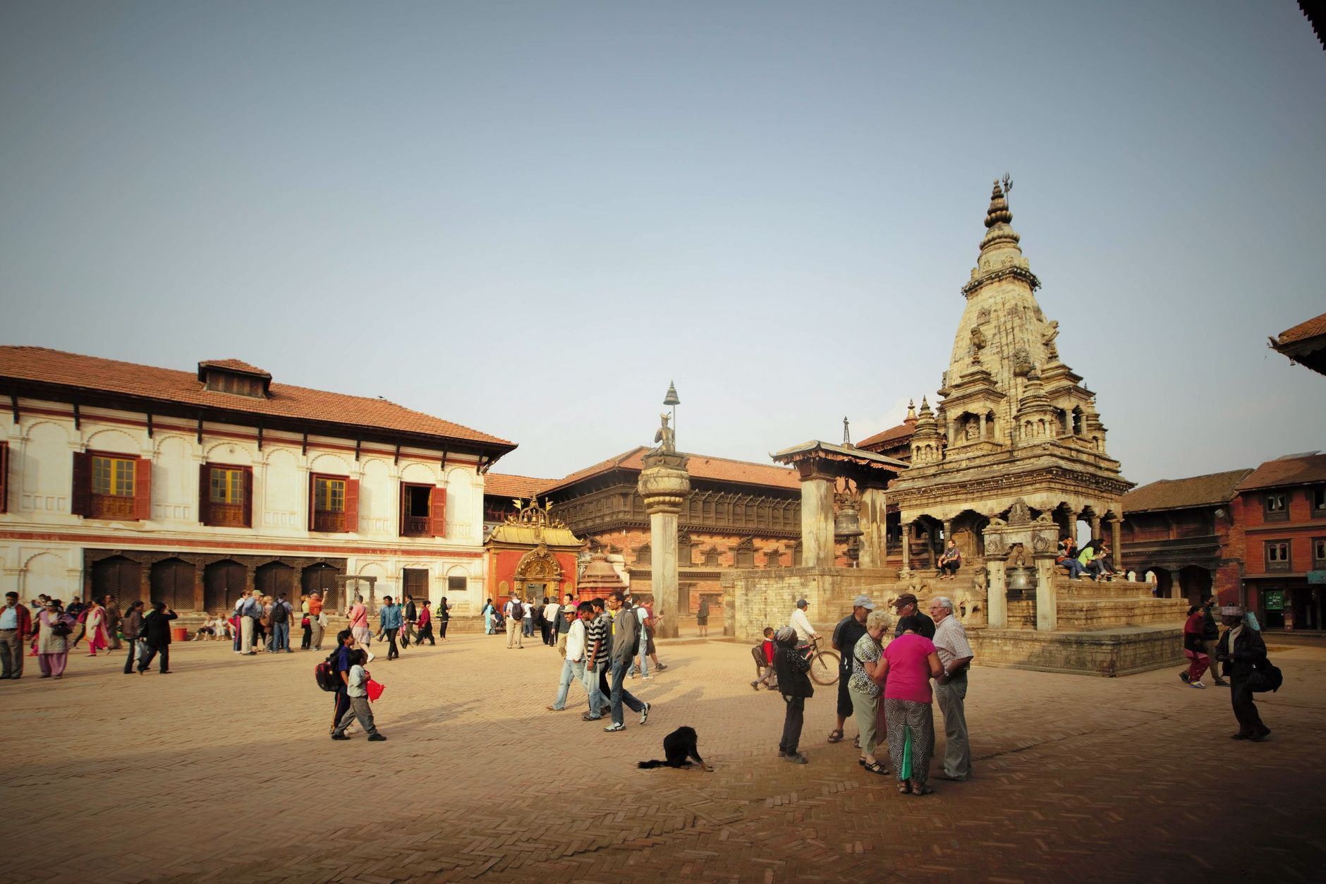
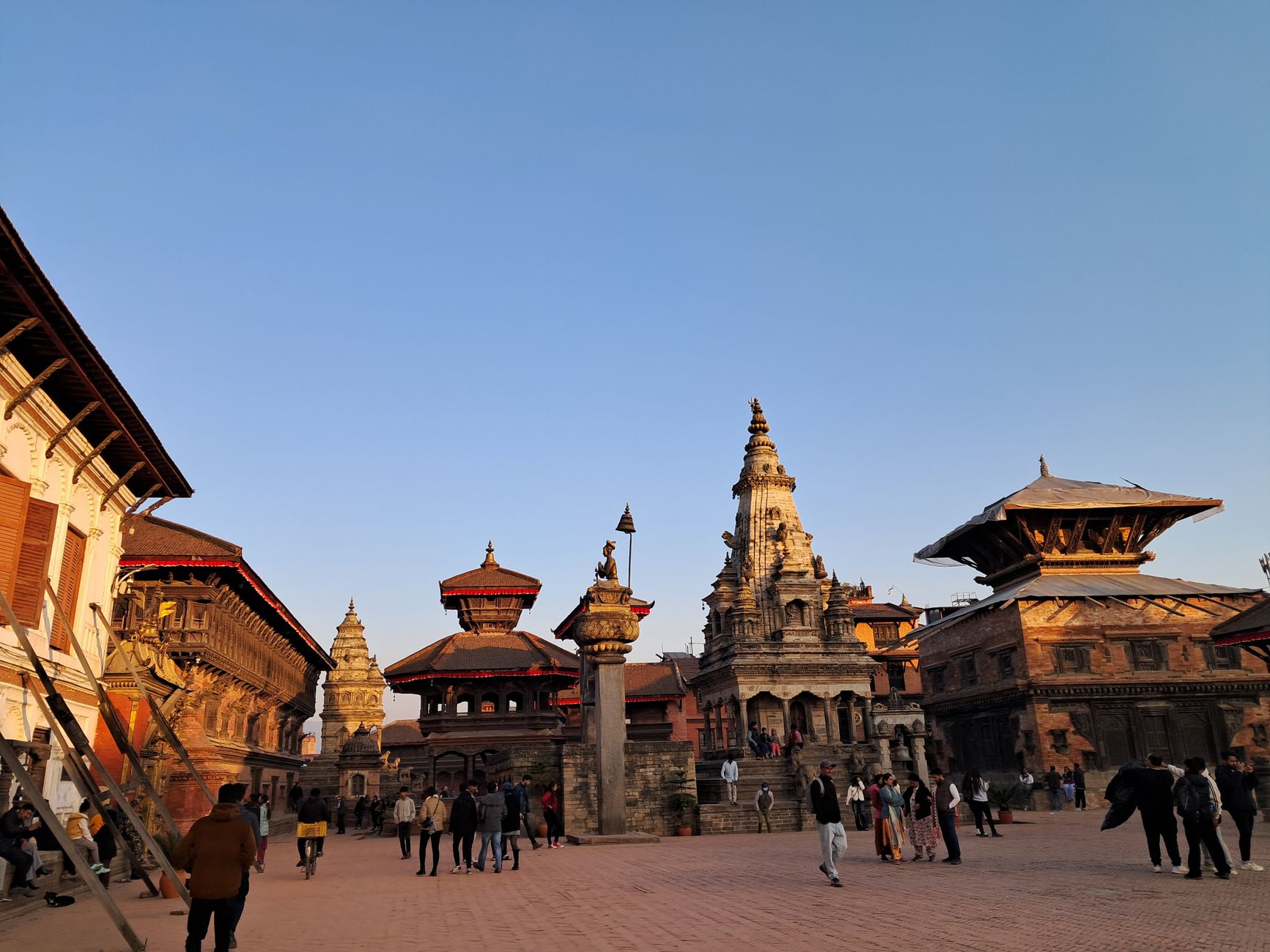
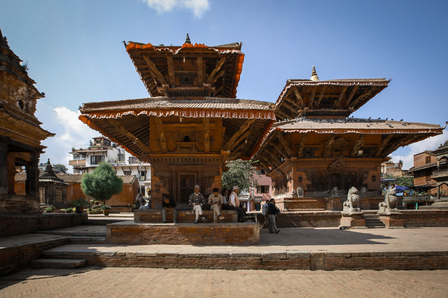
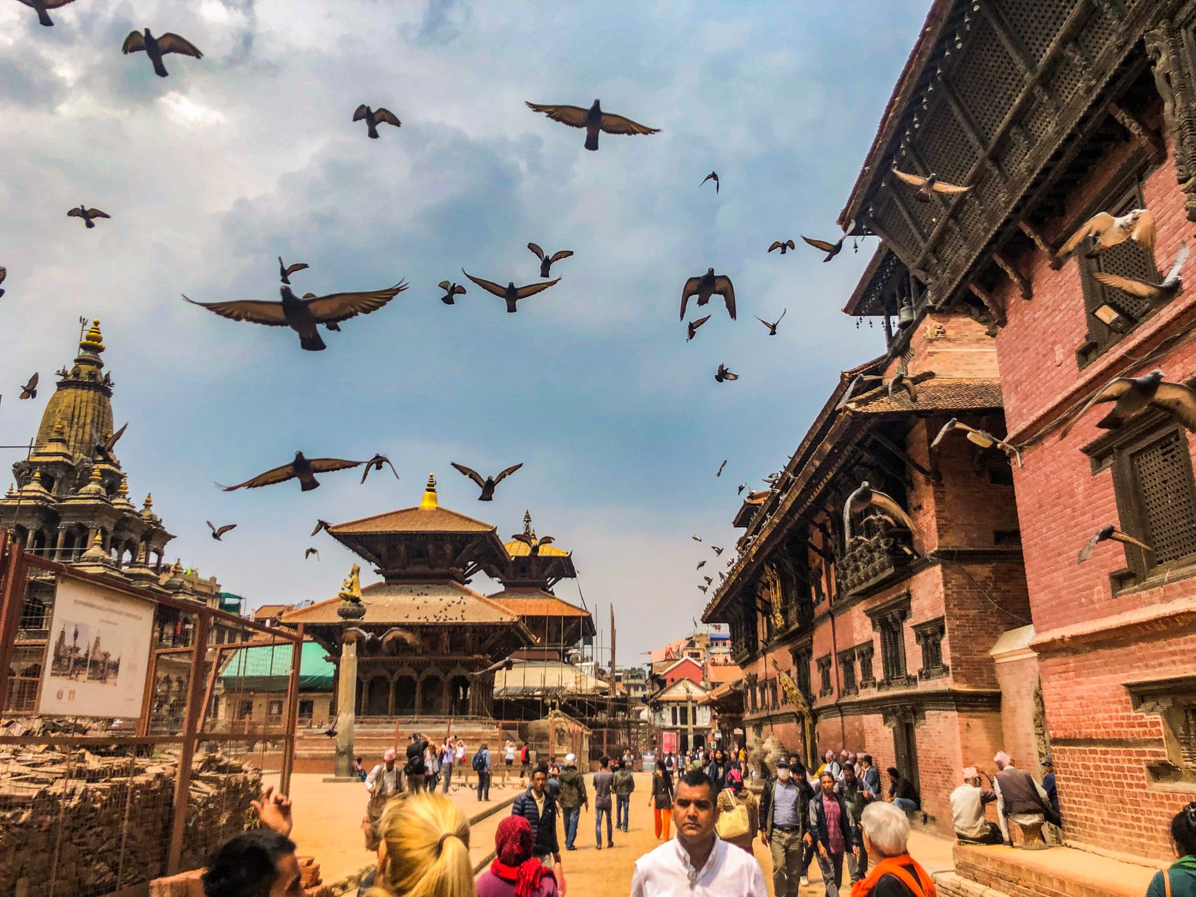
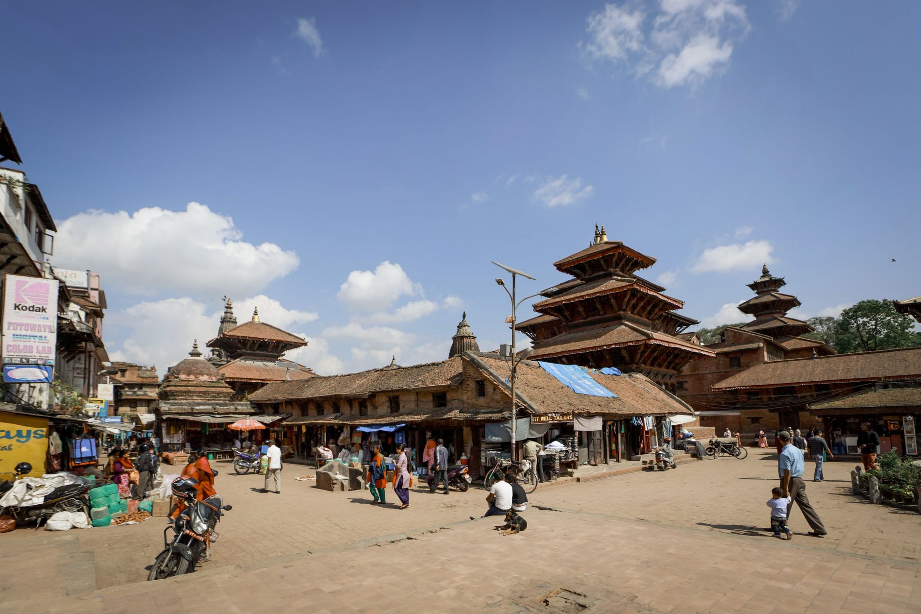
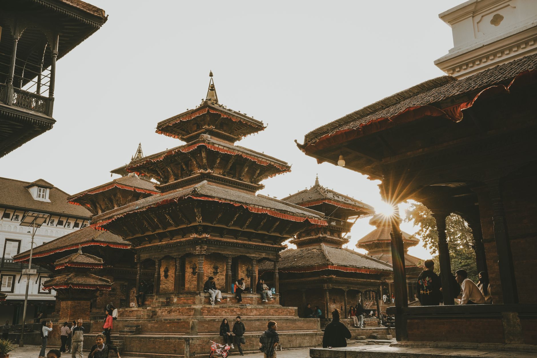
The Kathmandu Valley sits in a bowl of green hills at roughly 1,400 metres, holding within its roughly 30-kilometre width seven UNESCO World Heritage zones, more than 130 significant monuments, and a density of sacred architecture that takes time to absorb. Brick and timber temples rise at odd angles from the valley floor, their tiered roofs covered in overlapping terracotta tile and trimmed with gilded brass. Hindu and Buddhist traditions have coexisted here for centuries, sometimes sharing the same courtyard.
Three historic city-kingdoms — Kathmandu, Patan, and Bhaktapur — each anchored by a royal Durbar Square, occupy the valley's core. Bhaktapur and Patan have their own pages on Yeppa; the valley entry is the place to get your bearings before you go deep.
How Kathmandu Valley came to be
The valley's earliest known inscription dates to 185 CE, though settlement likely goes back to around 300 BCE. The Licchavi dynasty left the valley's oldest surviving stone inscription near Changu Narayan, dated to the 5th century. The city now called Kathmandu was founded in 723 CE by Raja Gunakamadeva under the name Kantipur — City of Beauty — and the Kasthamandap pavilion, reputedly built from the timber of a single tree in 1596, eventually gave the city the name it carries today.
The Malla dynasty ruled from 1201 until the 17th century, dividing in 1484 into three competing kingdoms that poured their rivalry into architecture. Prithvi Narayan Shah of Gorkha ended that competition when he conquered the valley by 1769, laying the foundation for the modern Nepali state. The April 2015 earthquake caused severe damage across the valley, and reconstruction work at several heritage sites continues.
Who and what shaped it
People who shaped it
Landmark buildings
See Kathmandu Valley in motion
Plan your visit
On the map
When to go
Winters run cold — 2°C to 12°C between December and February — while summers (June to August) bring monsoon rains and temperatures up to 35°C. The shoulder seasons either side of monsoon offer warm days, manageable crowds, and, in autumn especially, sharp mountain views on clear mornings.
Right now
Background & history adapted from Wikipedia (CC BY-SA) · specs from Wikidata (CC0) · weather from Open-Meteo · map data © OpenStreetMap contributors · photos from Wikimedia Commons / Unsplash with per-image credit. No third-party reviews or social posts reproduced.