
Karnataka
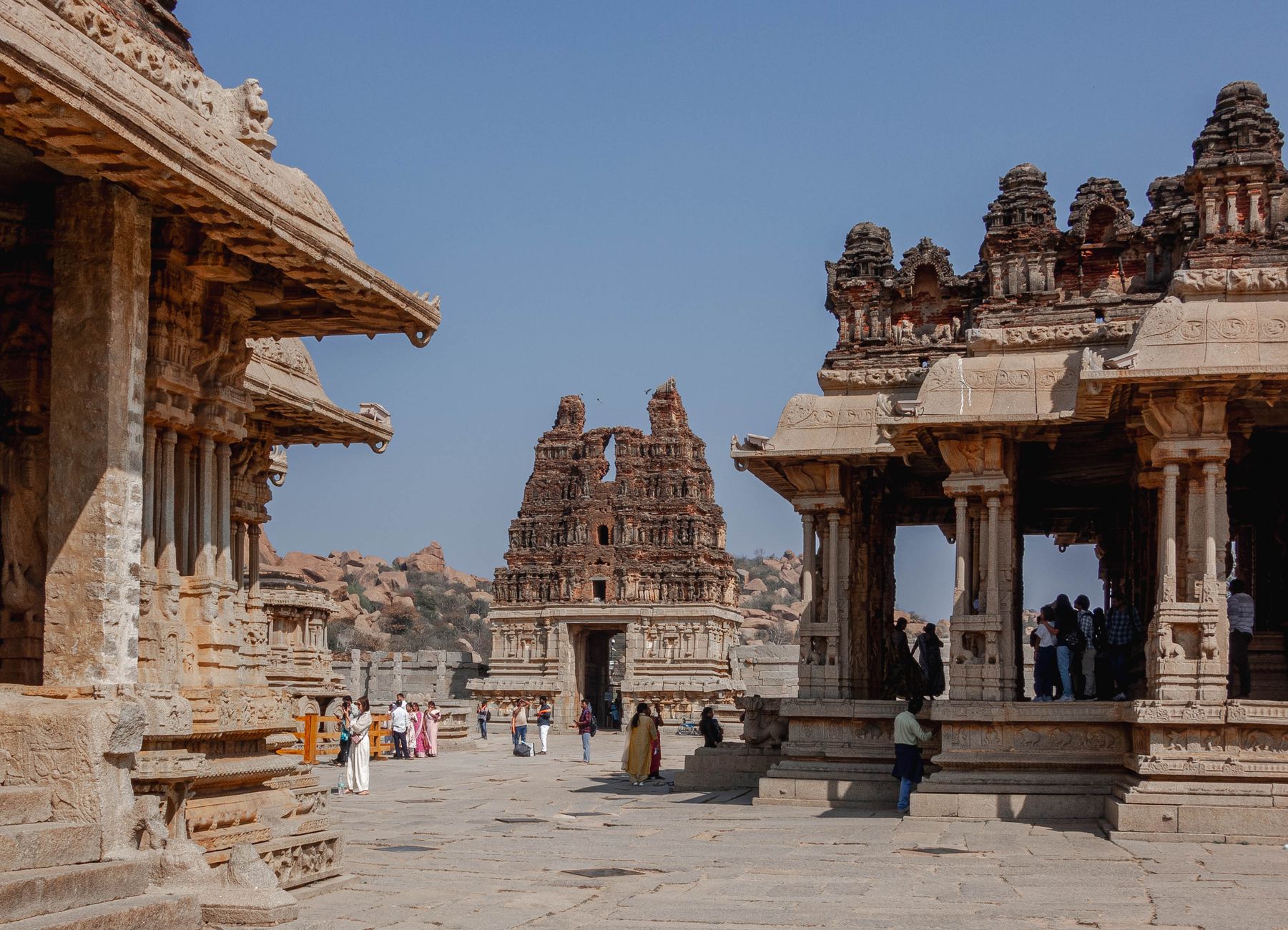
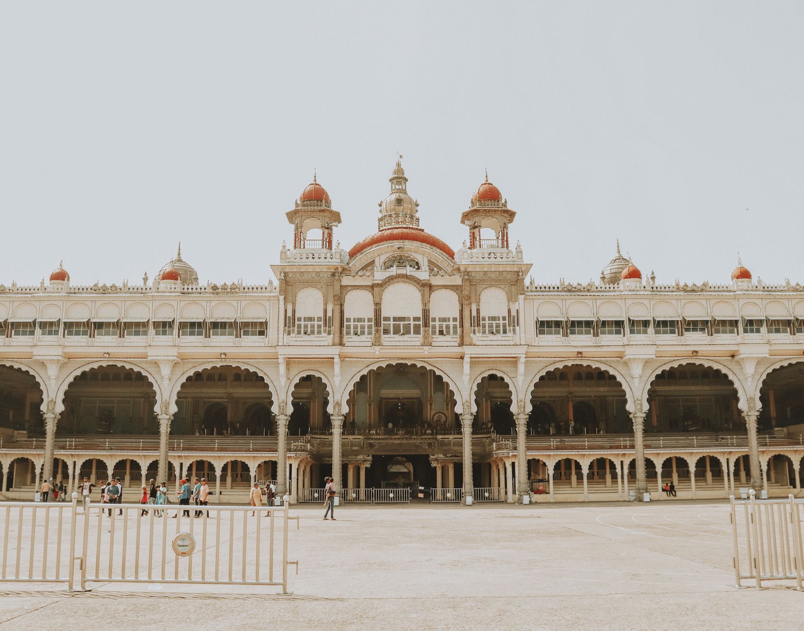
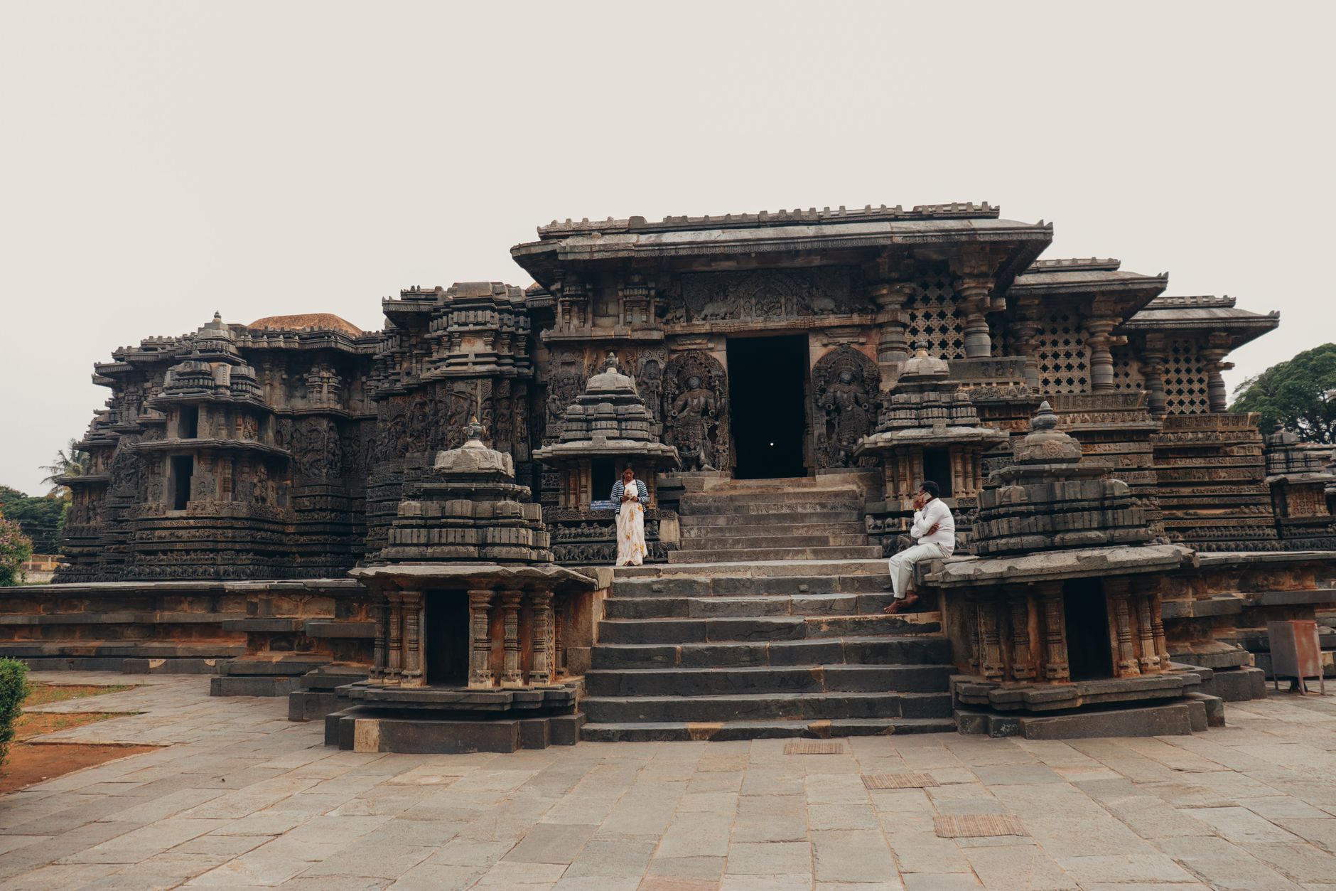
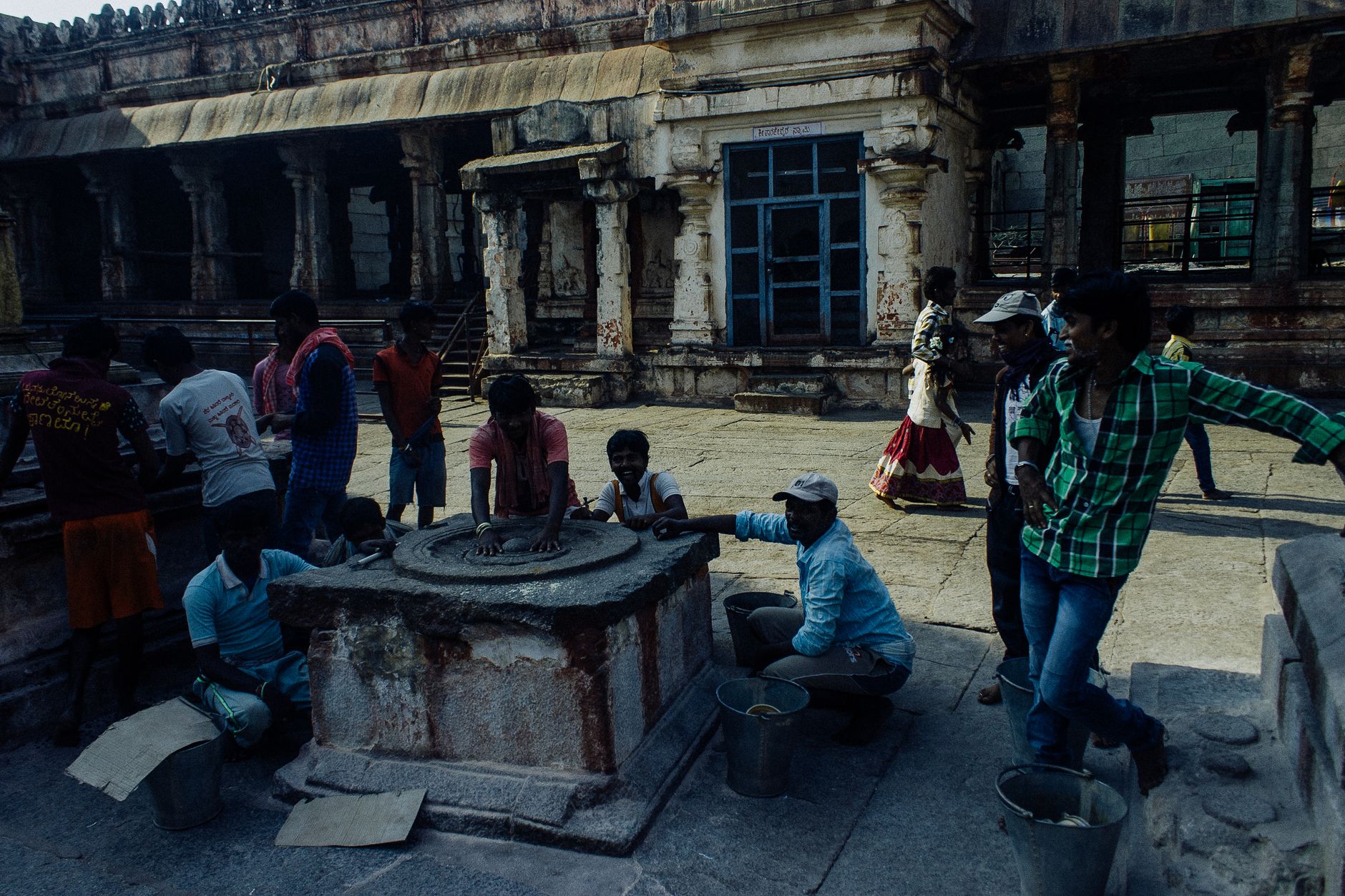
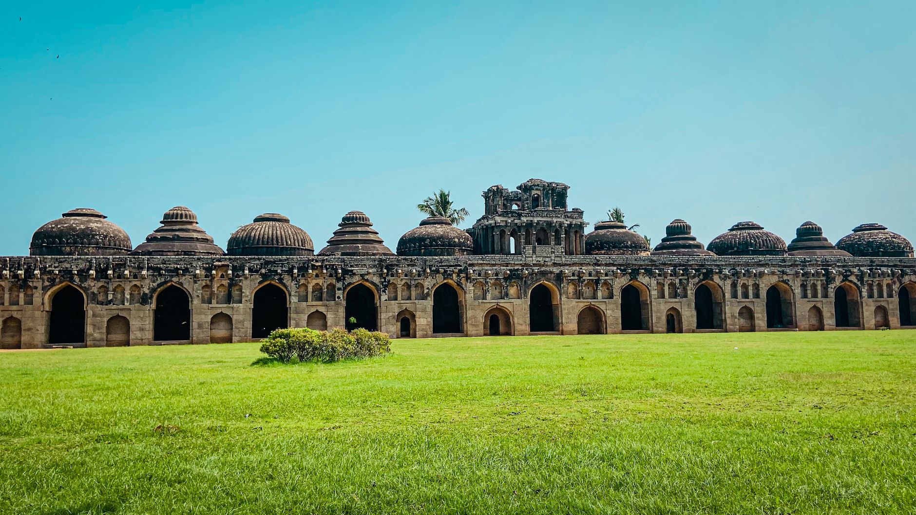
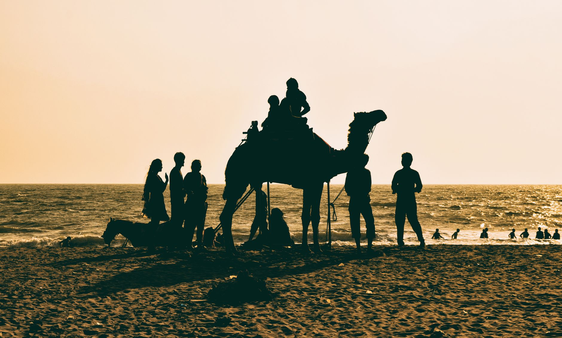
Karnataka is where a single granite block, carved in the eleventh century into a 57-foot Jain colossus, still gets anointed with milk and saffron during festival season. That image — ancient stone, living ritual — runs through the whole state. You move between the boulder-strewn ruins of Hampi, the star-shaped Hoysala temples at Belur and Halebid (UNESCO-listed as recently as 2023), and the Indo-Saracenic grandeur of Mysore Palace, and the centuries keep shifting underfoot.
The state stretches from the Western Ghats down to the Deccan plateau, and the range of what it holds is genuinely disorienting: medieval fort towns, coffee-growing hill districts, coastal fishing villages, and a technology capital in Bengaluru. It rewards slow travel more than most regions in India.
💛 What travellers fall for
Return visitors tend to anchor in Hampi for longer than planned — one extra day to walk the Vittala temple complex at dawn before the crowds arrive, or to hire a coracle across the Tungabhadra. Many also make the detour to Sringeri, the monastery Adi Shankara founded in the eighth century, which feels unhurried in a way that larger pilgrimage sites rarely do.
How Karnataka came to be
The territory that is now Karnataka passed through a long sequence of ruling powers before it became a unified state. The Kadamba and Western Ganga dynasties were among the earliest to govern the region independently. The Hoysala Empire left its most visible mark between the eleventh and thirteenth centuries, in the form of intricately sculpted temples that survive at Belur, Halebid, and Somnathpur. The Vijayanagara Empire, founded in the fourteenth century on the banks of the Tungabhadra by Harihara I and Bukka Raya I, reached its peak under Krishnadevaraya (1509–1529), a period of notable patronage of art and architecture, before the empire fell to the Deccan Sultanates at the Battle of Talikota in 1565.
The modern state took shape through a decades-long unification movement. The Karnataka Vidyavardhaka Sangha, founded in Dharwad in 1890 by R. H. Deshpande, organised Kannada-speaking communities across regions divided under British administration. On 1 November 1956, the States Reorganisation Act brought those dispersed Kannada-speaking areas together as Mysore State. Seventeen years later, on 1 November 1973, under Chief Minister Devaraj Urs, the state was renamed Karnataka.
Who and what shaped it
People who shaped it
Landmark buildings
See Karnataka in motion
Plan your visit
On the map
When to go
October to February brings dry, moderate temperatures across most of the state — the most comfortable time to travel. The southwest monsoon arrives in June and is heaviest along the Western Ghats coast; Hampi and the Deccan plateau receive less rain, but roads can still be difficult through July and August.
Right now
Background & history adapted from Wikipedia (CC BY-SA) · specs from Wikidata (CC0) · weather from Open-Meteo · map data © OpenStreetMap contributors · photos from Wikimedia Commons / Unsplash with per-image credit. No third-party reviews or social posts reproduced.