
Kanchenjunga Conservation Area
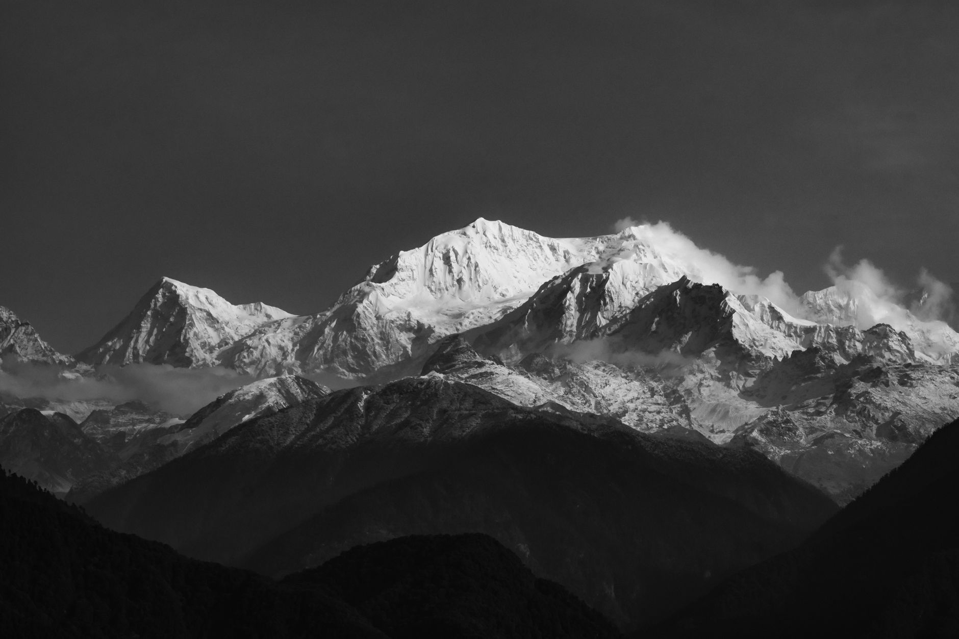
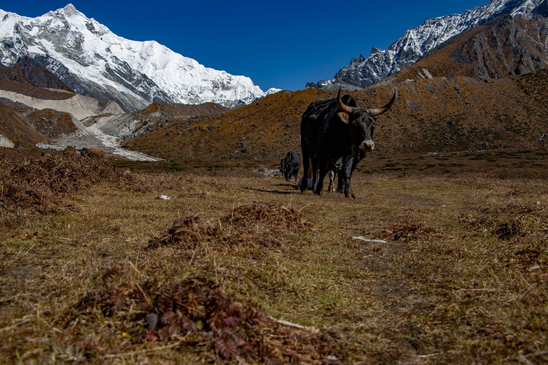
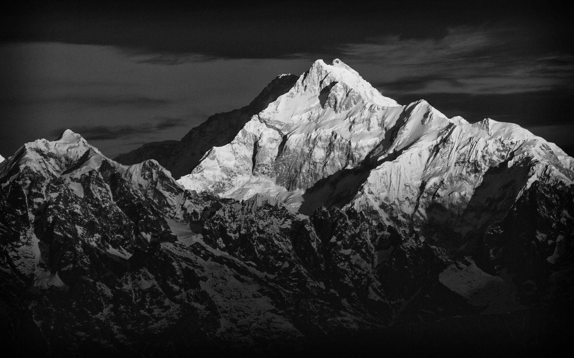
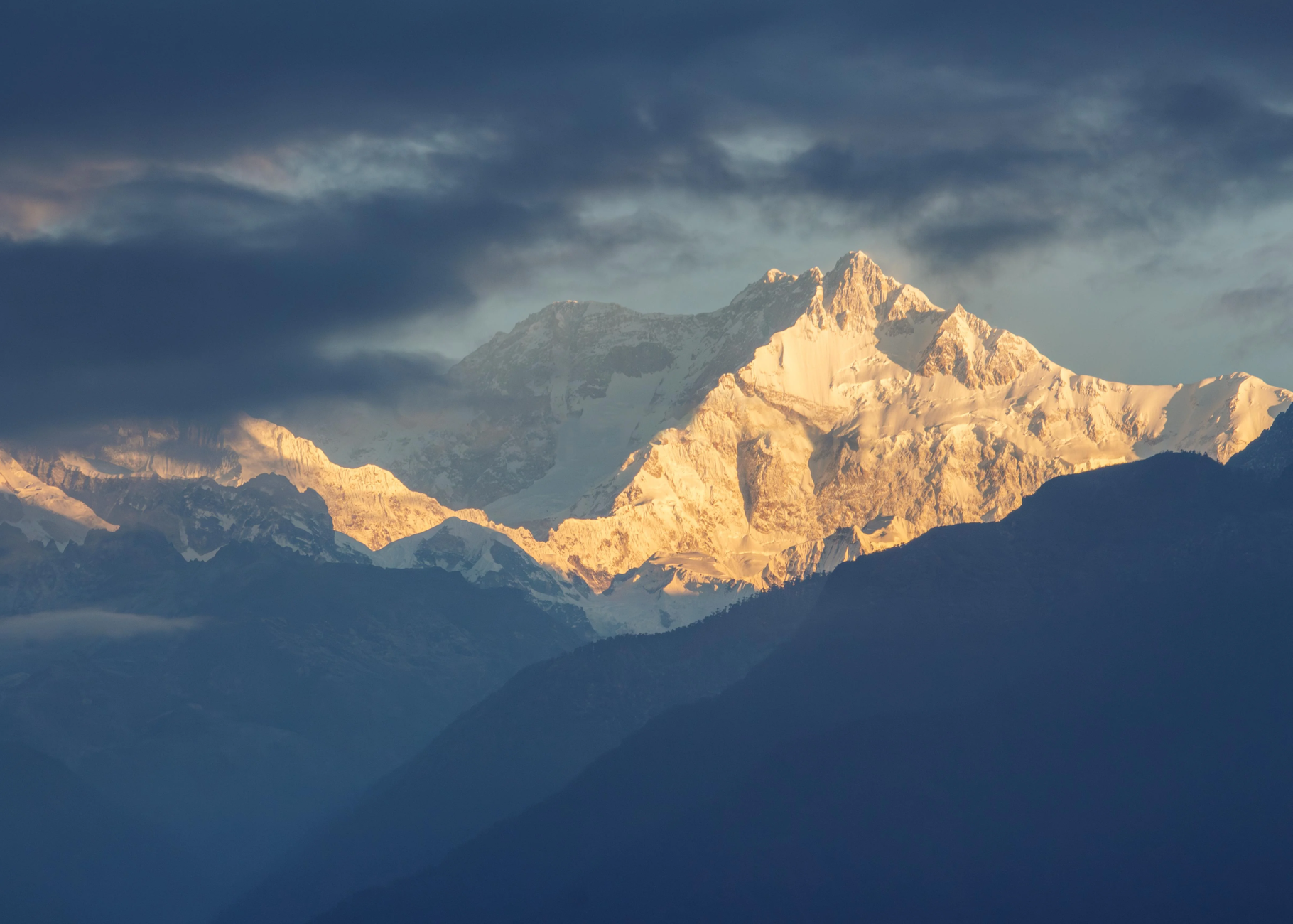
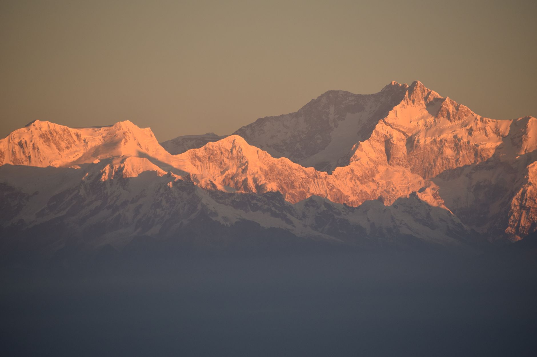
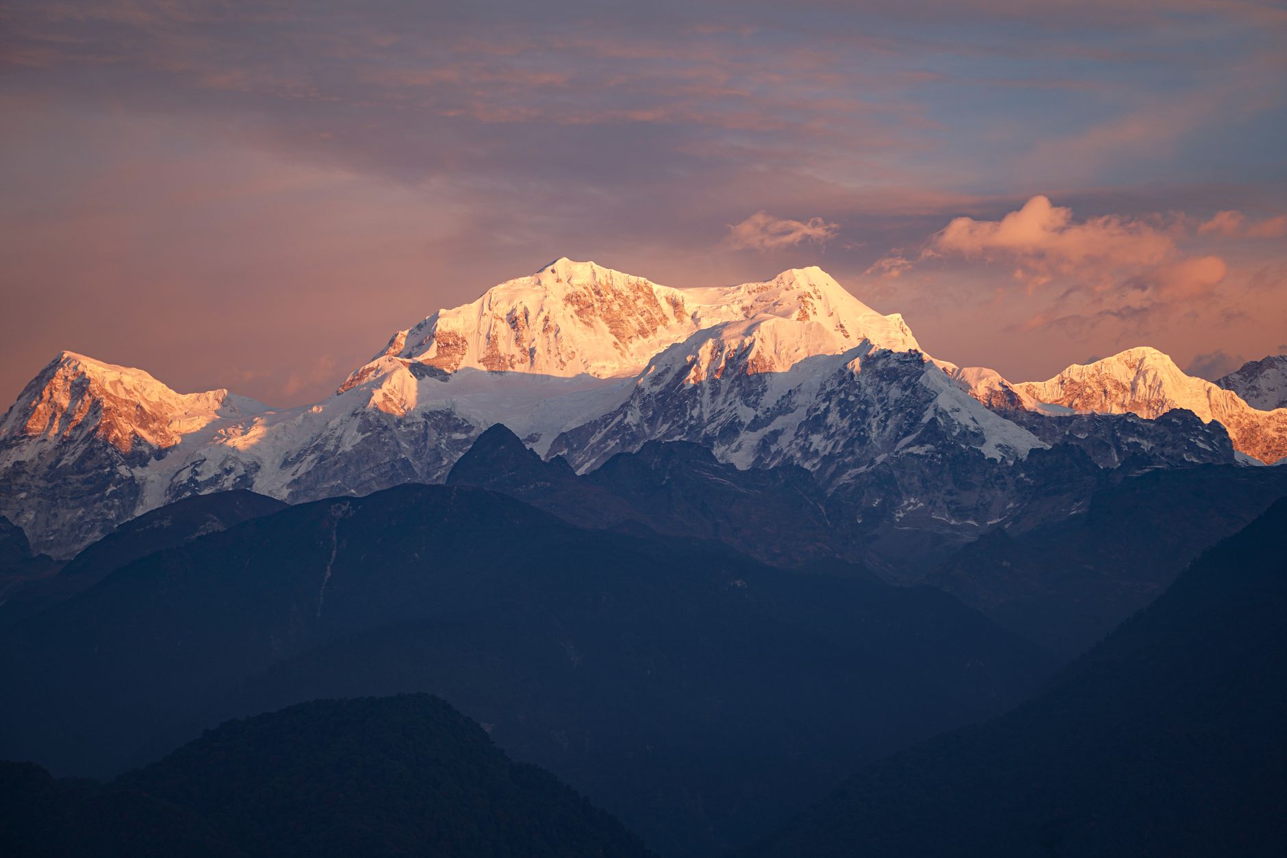
The third-highest mountain on earth rises above the Kanchenjunga Conservation Area's 2,035 square kilometres of forest, glacier, and high pasture in Nepal's far northeast, and almost nobody is here. That relative quiet is structural: solo trekking is not permitted, permits are issued only through registered agencies, and the approach from Bhadrapur airport alone takes the better part of a day by road.
What you find inside is a landscape that shifts register with altitude — rhododendron forest and mani walls along the Ghunsa Khola, then the stone shelters of Lhonak exposed to wind and cold, then the open snowfield views from Pangpema. Villages like Ghunsa and Phole are home to Sherpa, Limbu, Rai, Tamang, Tibetan and other communities, each with their own relationship to the mountain above them.
How Kanchenjunga Conservation Area came to be
The Kanchenjunga region was declared a Gift to the Earth in April 1997, as part of WWF's Living Planet Campaign, and the Kanchenjunga Conservation Area Project launched the following year as a joint initiative between Nepal's Department of National Parks and Wildlife Conservation and WWF Nepal.
After nine years of that collaboration, the Government of Nepal took a step that had no precedent in the country's conservation history: on 22 September 2006, management of the area was formally handed to local communities, making Kanchenjunga the first protected area in Nepal governed by community stewards rather than the state.
Who and what shaped it
Landmark buildings
See Kanchenjunga Conservation Area in motion
Plan your visit
On the map
When to go
Spring brings clear skies and rhododendrons in flower at lower elevations; autumn offers the sharpest mountain visibility and the most stable conditions — both windows sit between the June-to-August monsoon, when trails turn slippery and landslides are a real risk, and the deep winter cold above 5,000 metres, where temperatures can fall below -10 °C.
Right now
Background & history adapted from Wikipedia (CC BY-SA) · specs from Wikidata (CC0) · weather from Open-Meteo · map data © OpenStreetMap contributors · photos from Wikimedia Commons / Unsplash with per-image credit. No third-party reviews or social posts reproduced.