
Kanchanaburi
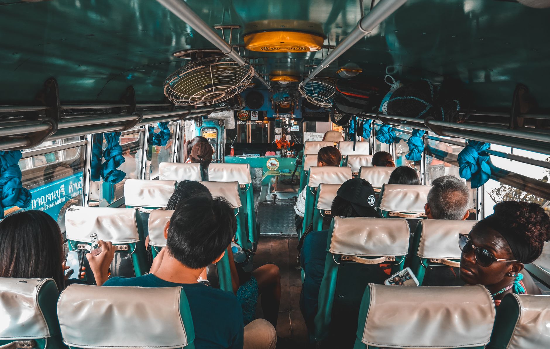
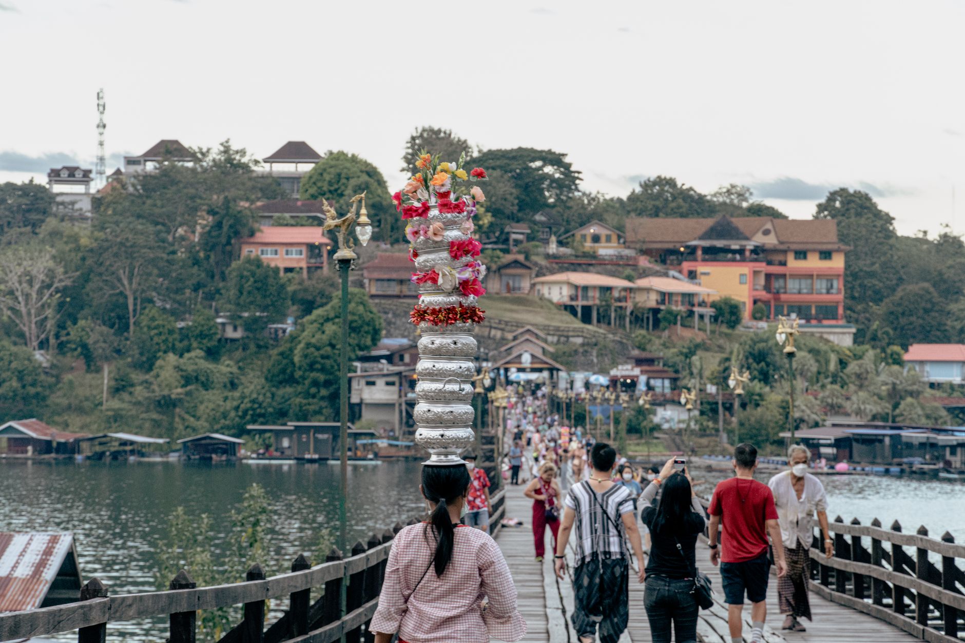
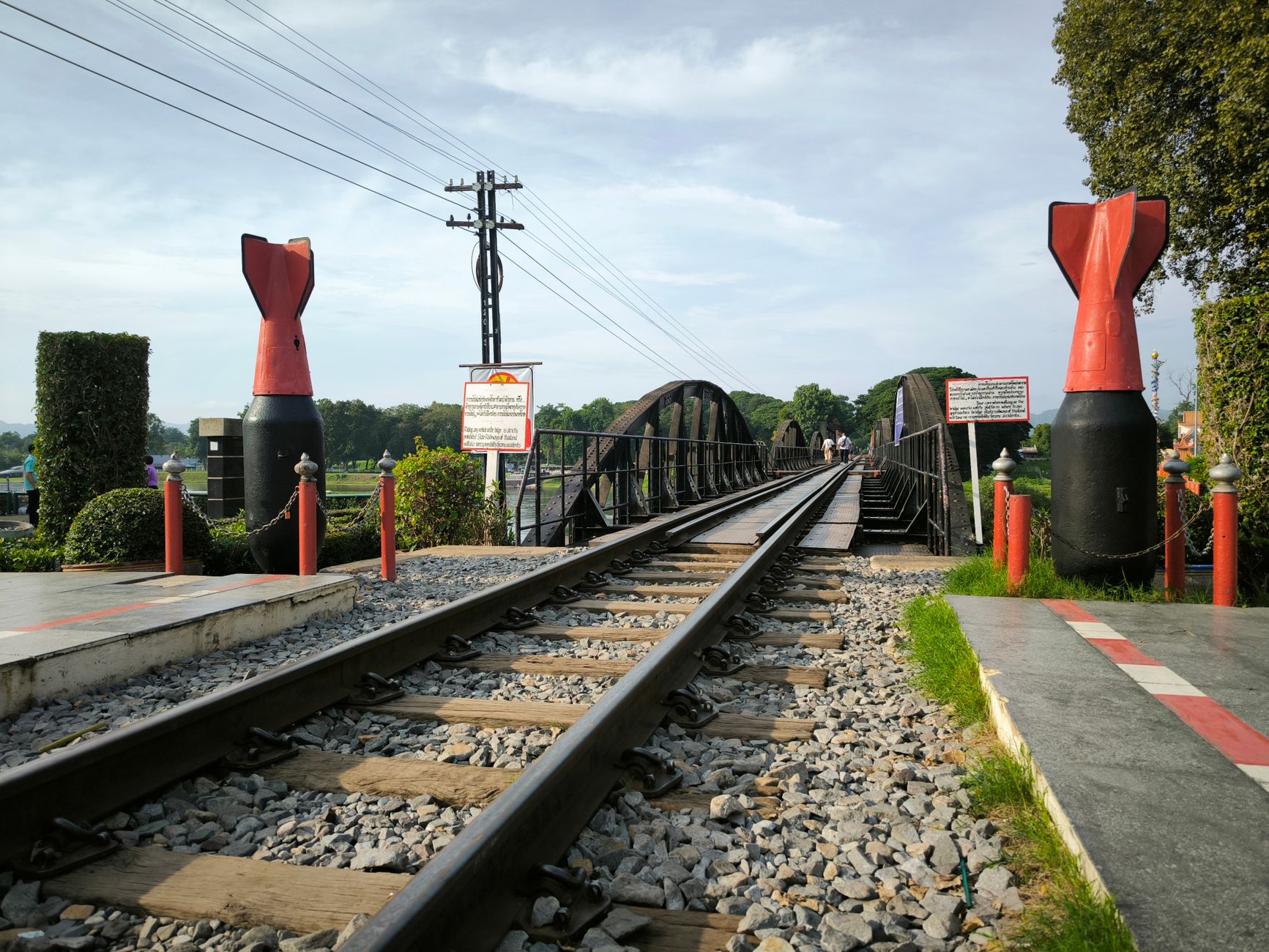
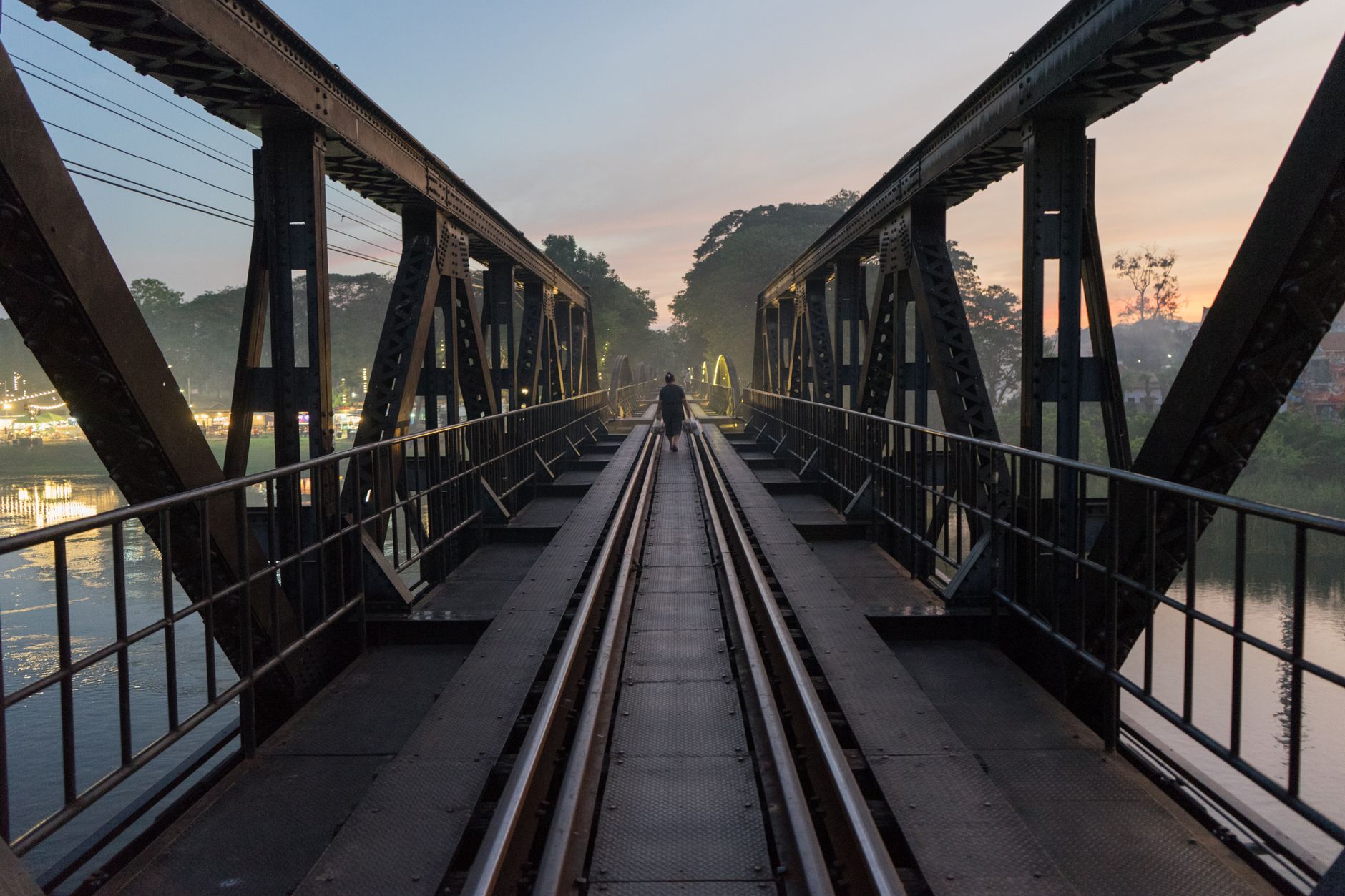
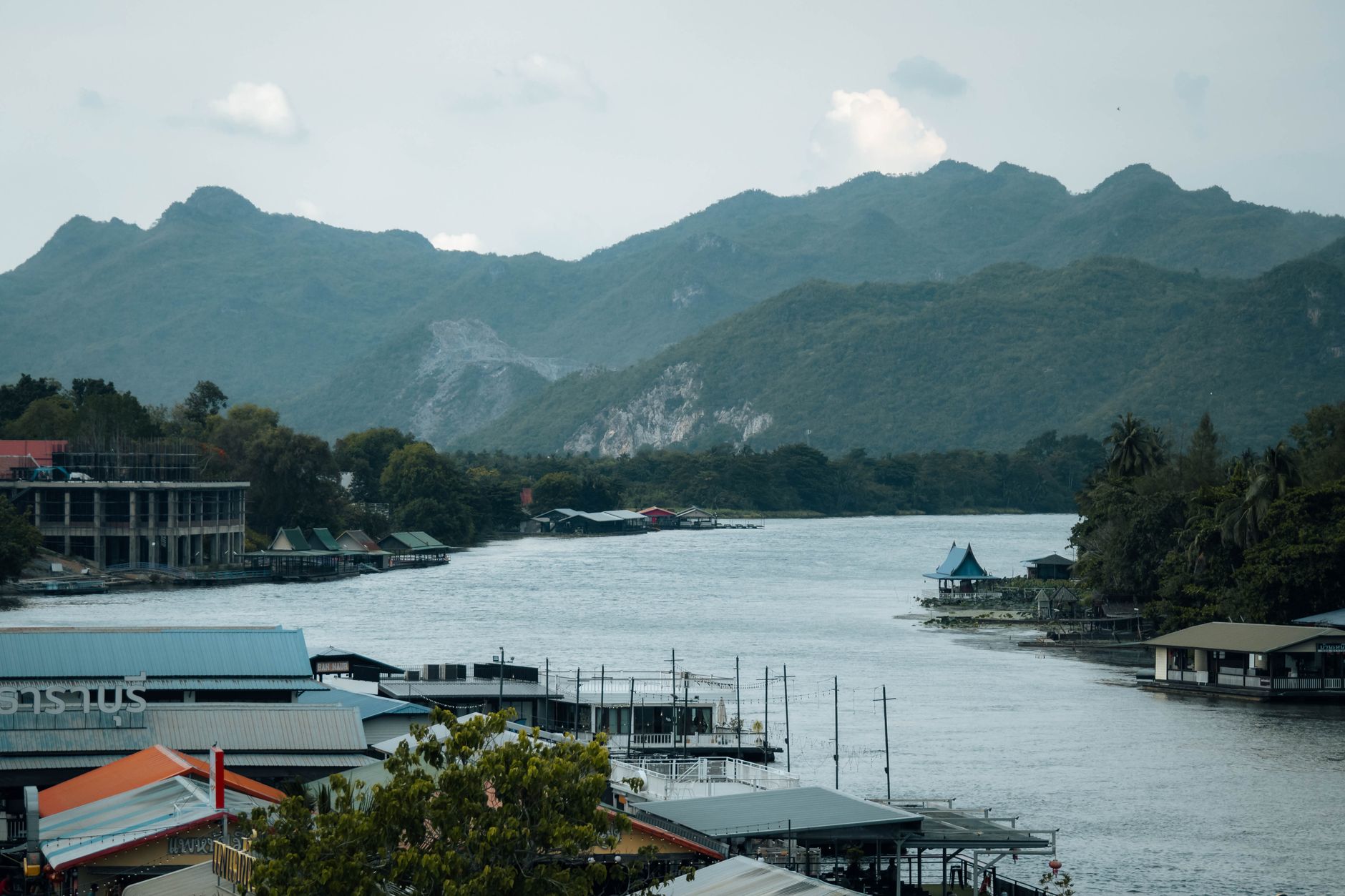
About 120 kilometres west of Bangkok, Kanchanaburi sits where the Kwai Noi and Kwai Yai rivers meet, and the landscape alone — wide water, limestone hills, forest — would be reason enough to come. But the region carries a weight that the scenery can't quite conceal. The bridge, the cemeteries, the jungle trails that follow the old Death Railway route: this is where wartime history is still close enough to touch.
Kanchanaburi is also a place of Khmer ruins, a seven-tiered waterfall inside a national park, and river life that moves at its own pace. It rewards more than a day trip, though most visitors give it only one.
How Kanchanaburi came to be
King Rama I founded Kanchanaburi in the late 18th century as a defensive outpost against Burmese incursion. In 1833, under Rama III, the town was relocated roughly 16 kilometres southeast to its present position along the river. A city gate built in 1831 — part of a fortified wall linking six strongholds — still stands, restored, in the modern town.
The history that defines Kanchanaburi internationally belongs to the Second World War. From 1942, the Japanese military ordered Allied prisoners of war and Asian labourers to construct a railway linking Thailand and Burma. More than 100,000 people died in the process — 16,000 of them Allied POWs, the rest local labourers whose deaths were for decades less documented. The cemeteries, the museum at Hellfire Pass, and the rebuilt bridge over the River Kwai hold the record of what happened here.
Who and what shaped it
People who shaped it
Landmark buildings
See Kanchanaburi in motion
Plan your visit
On the map
When to go
Kanchanaburi has a tropical savanna climate: dry and warm in winter, with temperatures climbing steadily toward April, when midday heat regularly exceeds 38°C. The cool season, November through February, brings lower humidity and manageable warmth — the most practical time to walk the rail trail or explore the national park.
Right now
Background & history adapted from Wikipedia (CC BY-SA) · specs from Wikidata (CC0) · weather from Open-Meteo · map data © OpenStreetMap contributors · photos from Wikimedia Commons / Unsplash with per-image credit. No third-party reviews or social posts reproduced.