
Kafue National Park
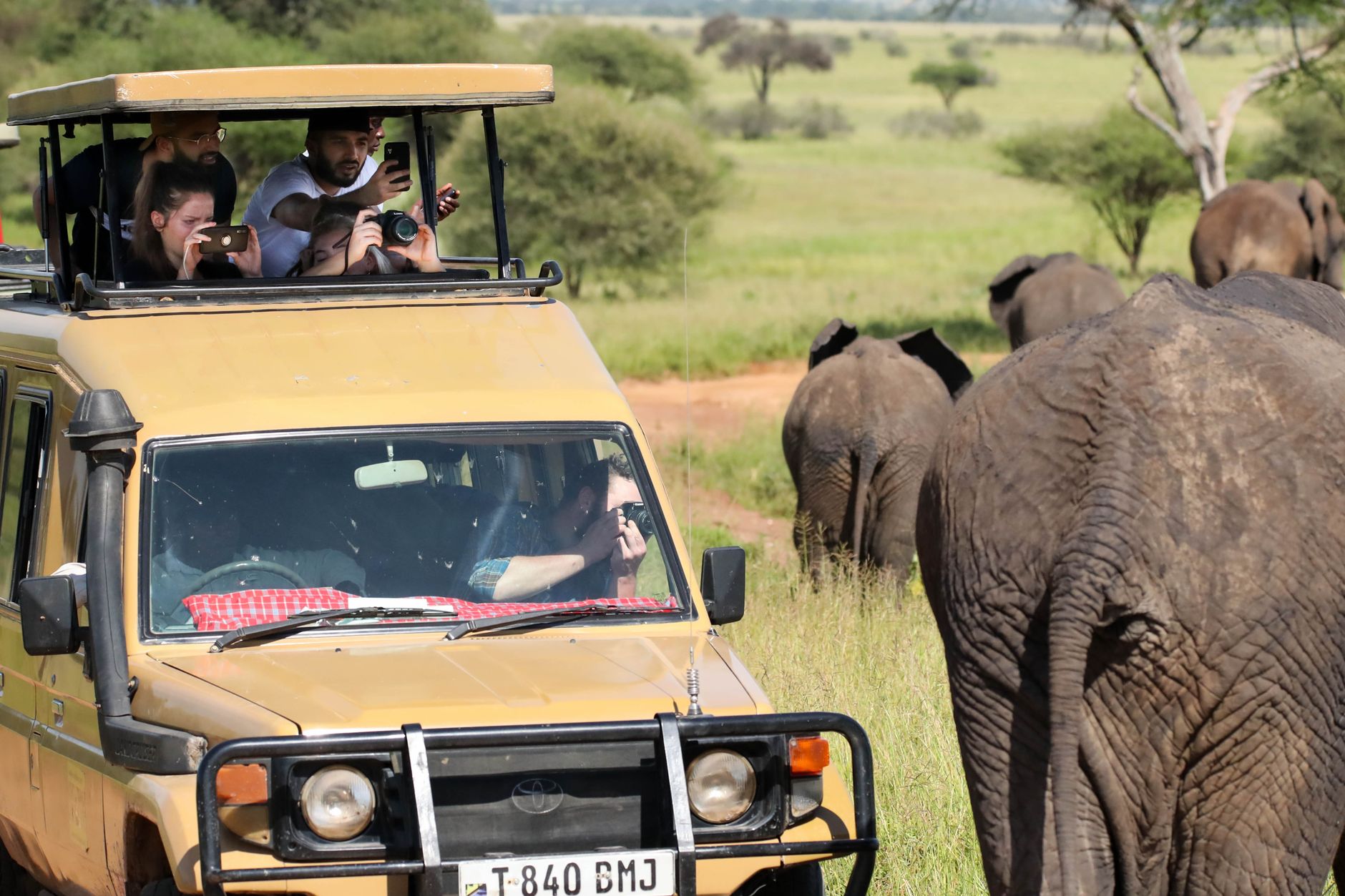
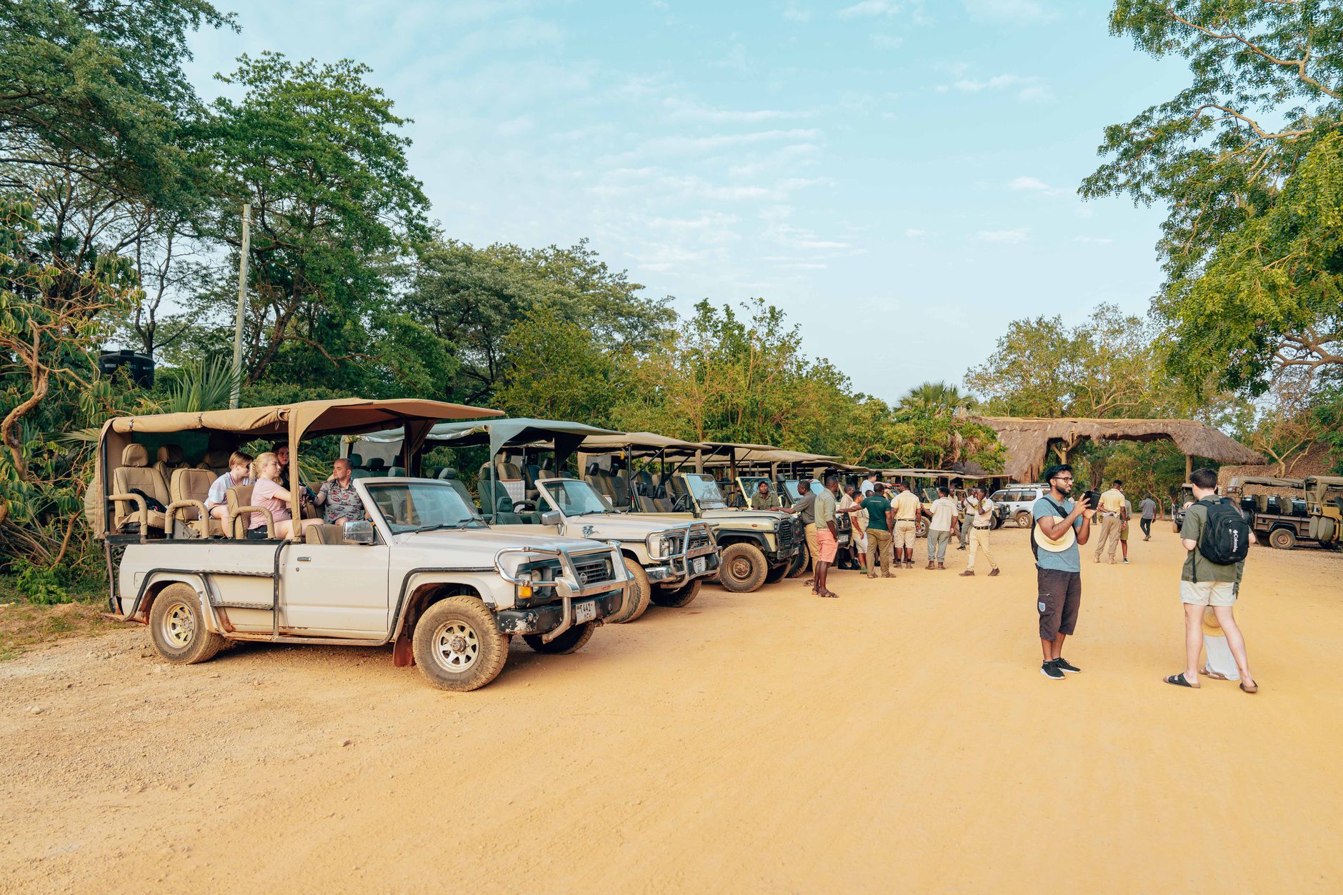

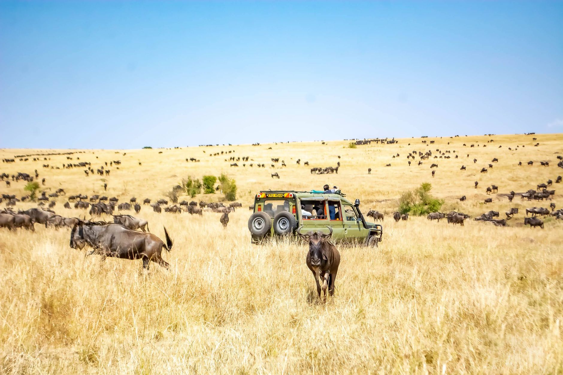
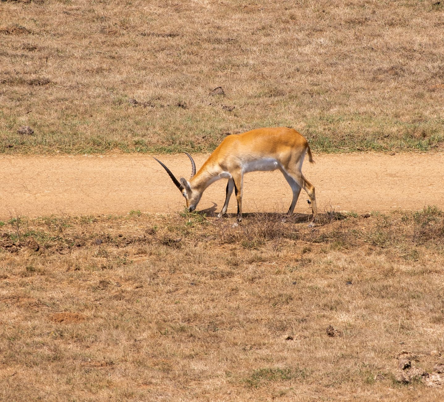
Kafue is Zambia's largest national park and one of the biggest in Africa — roughly the size of Wales — yet it draws a fraction of the visitors that the Luangwa Valley does. That quietness is part of the point. In the far north-west, the Busanga Plains flood each wet season into a shallow inland sea, then slowly drain to reveal 720 square kilometres of open grassland, palm groves, and lily-covered lagoons where lions hunt lechwe at dawn.
The Kafue River runs through the park's heart, and the landscape shifts dramatically as you move from the miombo woodlands of the centre to the reed beds of the north and the drier, rockier south. There are no crowds here. Most mornings, the only vehicle on the track will be yours.
How Kafue National Park came to be
The area was set aside as a game reserve in the early 1920s, when wildlife numbers were already in serious decline. It was proclaimed a national park in 1950, and it was around that time that Norman Carr — British-Rhodesian conservationist and the park's first wildlife warden — began developing what would become the walking safari, a practice he pioneered here and that changed how people moved through African wilderness entirely. The colonial-era establishment of the park came at a cost: the Nkoya people were displaced from their ancestral hunting grounds, first relocated to the eastern Mumbwa District, then pushed out of the park altogether by 1960.
Decades of underfunding left infrastructure thin and poaching pressure high. In 2021 a Priority Support Plan began rebuilding the park's foundations, and in June 2022 African Parks entered a 20-year management partnership with the Zambian government, bringing significant investment, conservation work, and more than 200 new jobs to the region.
Who and what shaped it
People who shaped it
Landmark buildings
See Kafue National Park in motion
Plan your visit
On the map
When to go
The dry season runs May through October: June and July are cool and clear, with daytime temperatures around 24°C and nights that can drop to near freezing on the open plains, so pack layers. October turns fierce — regularly above 35°C — but the bush is at its most open and game concentrates around water. The wet season (November–April) brings daily rain and lush green landscapes, but most of the park becomes inaccessible, and the Busanga Plains close entirely.
Right now
Background & history adapted from Wikipedia (CC BY-SA) · specs from Wikidata (CC0) · weather from Open-Meteo · map data © OpenStreetMap contributors · photos from Wikimedia Commons / Unsplash with per-image credit. No third-party reviews or social posts reproduced.