
Jwaneng
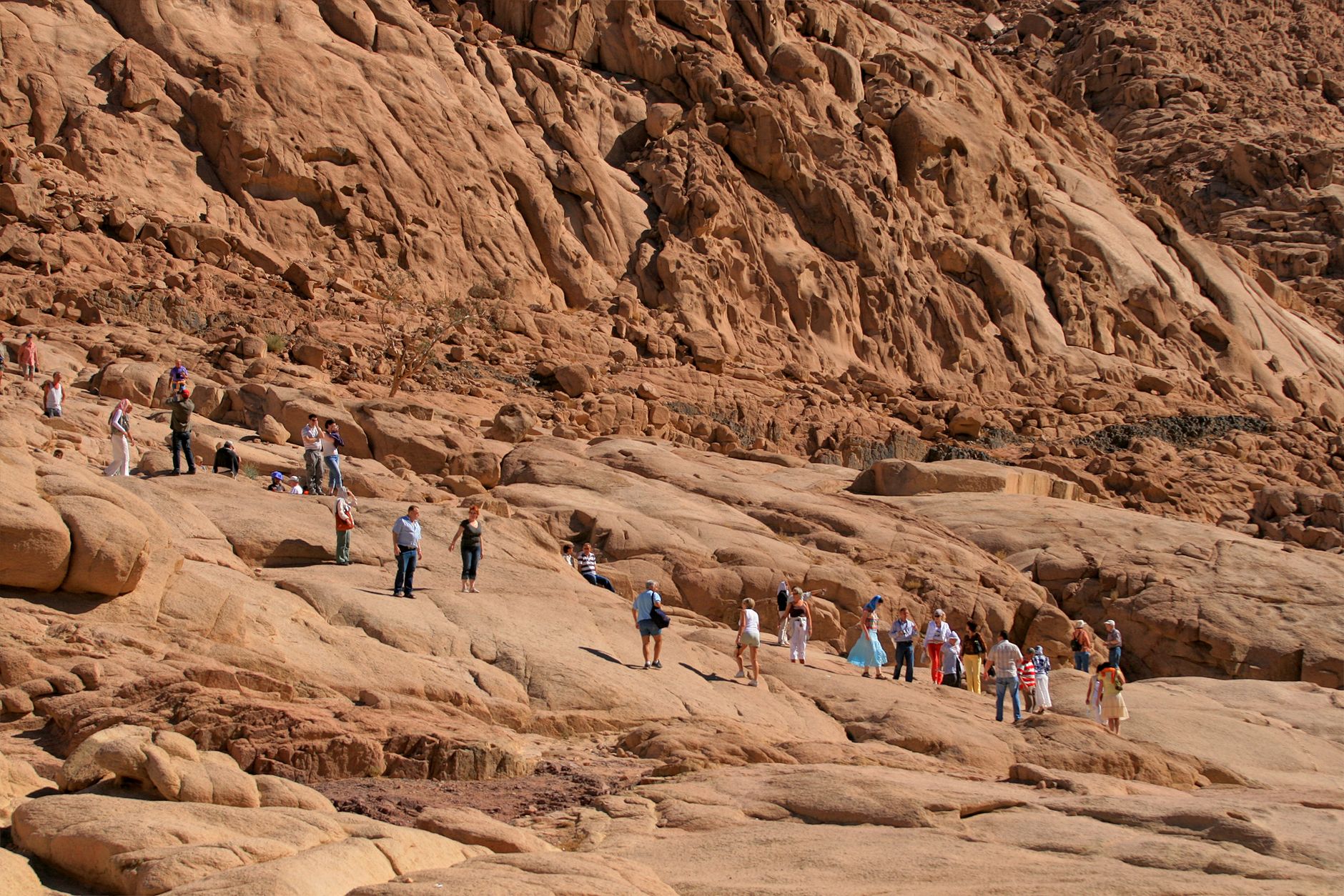
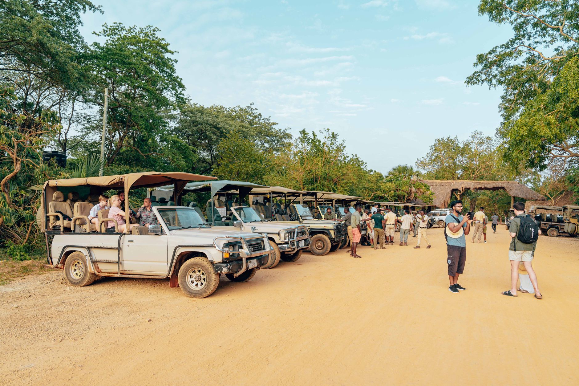
The name says it plainly: Jwaneng means 'a place of small stones' in Setswana, and the irony is not lost on anyone who knows what lies beneath. Under forty metres of sand and calcrete in the Naledi River Valley sits one of the most valuable diamond pipes ever found — a deposit that Harry Oppenheimer called the most important primary discovery anywhere since Kimberley, more than a century before.
The town that grew up around it is compact and purposeful, home to around thirteen thousand people and a poverty rate below three percent — figures that make more sense once you understand that the mine accounts for sixty to seventy percent of Debswana's entire revenue. From certain public vantage points outside the perimeter fence, you can stand and look down into an open pit of genuinely vertiginous scale, the terraced dump walls stepping away into the Kalahari earth like a slow-motion geological event.
💛 What travellers fall for
People who return tend to time it around a Jwaneng Galaxy match at the stadium — the crowd is local and loud in the best way. The golf club also comes up repeatedly: a genuinely green course set against the dry Kalahari palette, and a reliable place to fall into conversation with someone who actually works the mine.
Deals in Jwaneng
Book directly at the provider


How Jwaneng came to be
A geological survey in 1972 identified something unusual beneath the Naledi River Valley floor. The pipe was formally confirmed in February 1973, but it took nine years of evaluation and construction before the mine became operational. In May 1978, De Beers Consolidated Mines and the Government of Botswana signed the agreement establishing Jwaneng Mine under the Debswana partnership; full production began in July 1982, and President Sir Ketumile Masire officially opened it the following August.
For years afterward, Jwaneng functioned as a closed town — you needed permission from Debswana simply to live there. That arrangement has loosened over time, and the town has developed its own civic life: a hospital, schools, a stadium, and an airport all originally built and run by the mine, now woven into the fabric of a place that is, by any measure, one of southern Africa's more quietly consequential addresses.
Who and what shaped it
People who shaped it
Landmark buildings
See Jwaneng in motion
Plan your visit
On the map
When to go
The dry season from May to August brings cool, clear days — July averages around 56°F (13°C) and is the most pleasant time to be outdoors at the pit viewpoints. If you come in the rainy season (November through March), expect genuine heat pushing toward 40°C (104°F) and the bulk of the year's 480 mm of rain concentrated into short, heavy afternoon bursts.
Right now
Background & history adapted from Wikipedia (CC BY-SA) · specs from Wikidata (CC0) · weather from Open-Meteo · map data © OpenStreetMap contributors · photos from Wikimedia Commons / Unsplash with per-image credit. No third-party reviews or social posts reproduced.