
Jurong East
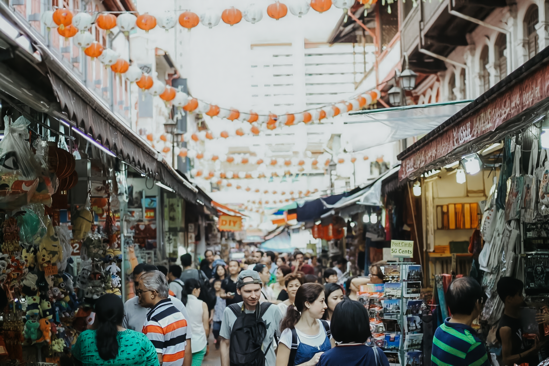
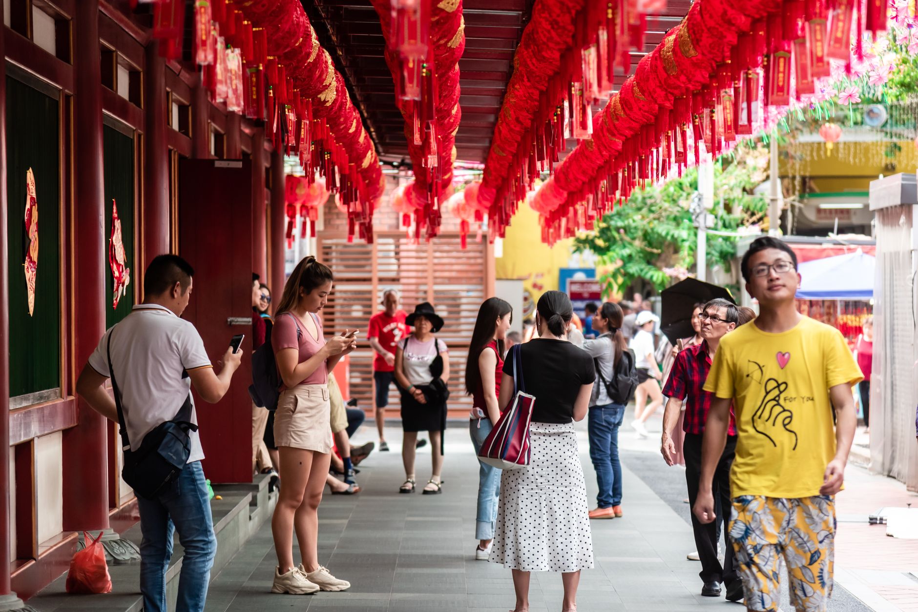
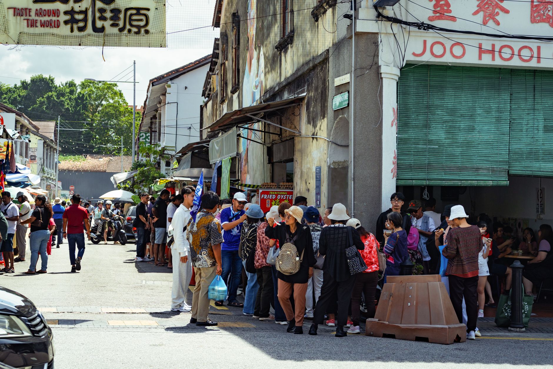
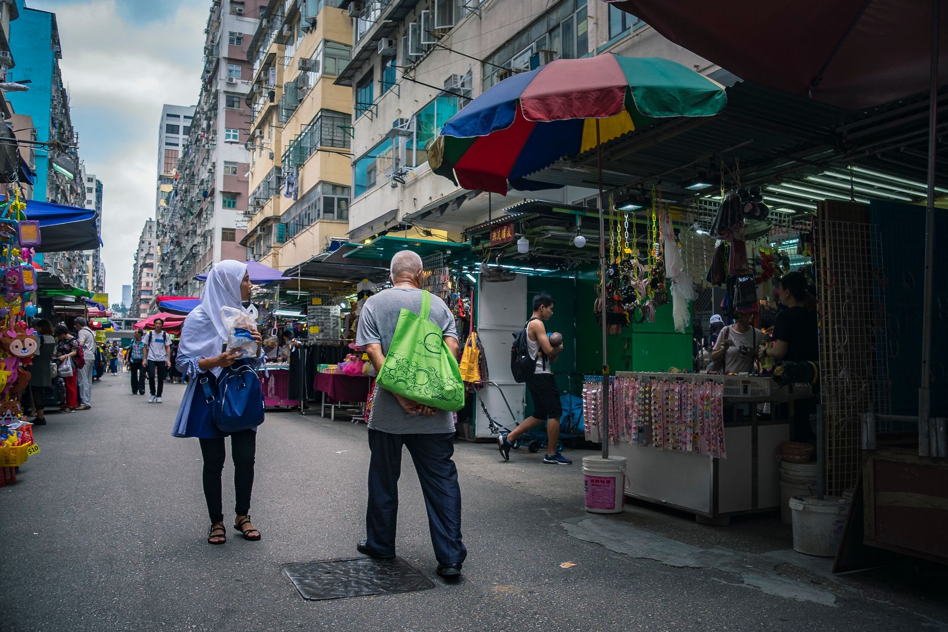
Jurong East sits about 20 kilometres west of the city centre, separated from its twin town by the Jurong Canal — a practical boundary that also marks a shift in pace. This is a working district that has quietly accumulated weight: a major MRT interchange where the North–South and East–West lines cross, a cluster of malls dense enough to earn comparisons to Orchard Road, and the Science Centre drawing school groups on weekday mornings.
Ninety percent of residents here live in HDB flats, and the neighbourhood carries that texture — hawker queues, covered walkways, the ordinary rhythms of a town built to house and employ people rather than to impress visitors passing through.
How Jurong East came to be
Before Singapore's post-independence planners arrived, the Jurong area was plantation country — gambier in particular was grown and processed here, and the old Malay name for nearby districts, Peng Kang, echoed that industry. The land sat largely undeveloped until the 1960s, when the government staked the country's industrial future on this western corridor.
The foundation stone for the National Iron & Steel Mills was laid on 1 September 1962, marking the start of Jurong Industrial Estate — Singapore's first. By 1976, 650 factories were operating and more than 20,000 flats were occupied. The Jurong East MRT station opened in November 1988, and in 2017 the Urban Redevelopment Authority released a master plan for the Jurong Lake District, envisioning three distinct precincts built around the existing gateway.
Who and what shaped it
Landmark buildings
See Jurong East in motion
Plan your visit
On the map
When to go
Jurong East sits close to the equator and stays warm and humid year-round, with temperatures hovering around 25–29°C. November and December are the wettest months, averaging over 380mm of rainfall, while January and February tend to be marginally drier and a touch cooler.
Right now
Background & history adapted from Wikipedia (CC BY-SA) · specs from Wikidata (CC0) · weather from Open-Meteo · map data © OpenStreetMap contributors · photos from Wikimedia Commons / Unsplash with per-image credit. No third-party reviews or social posts reproduced.