
Jungfrau Region
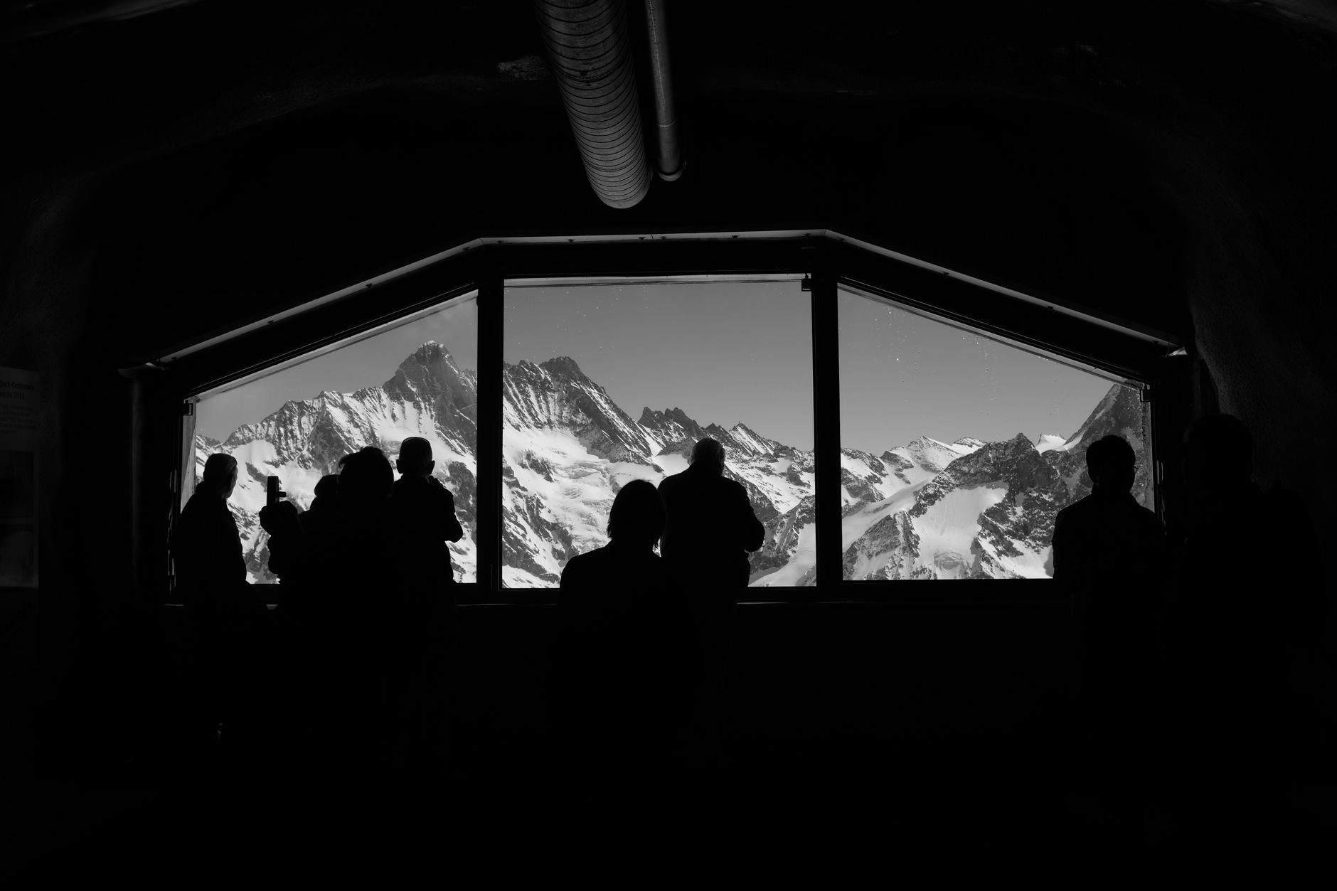
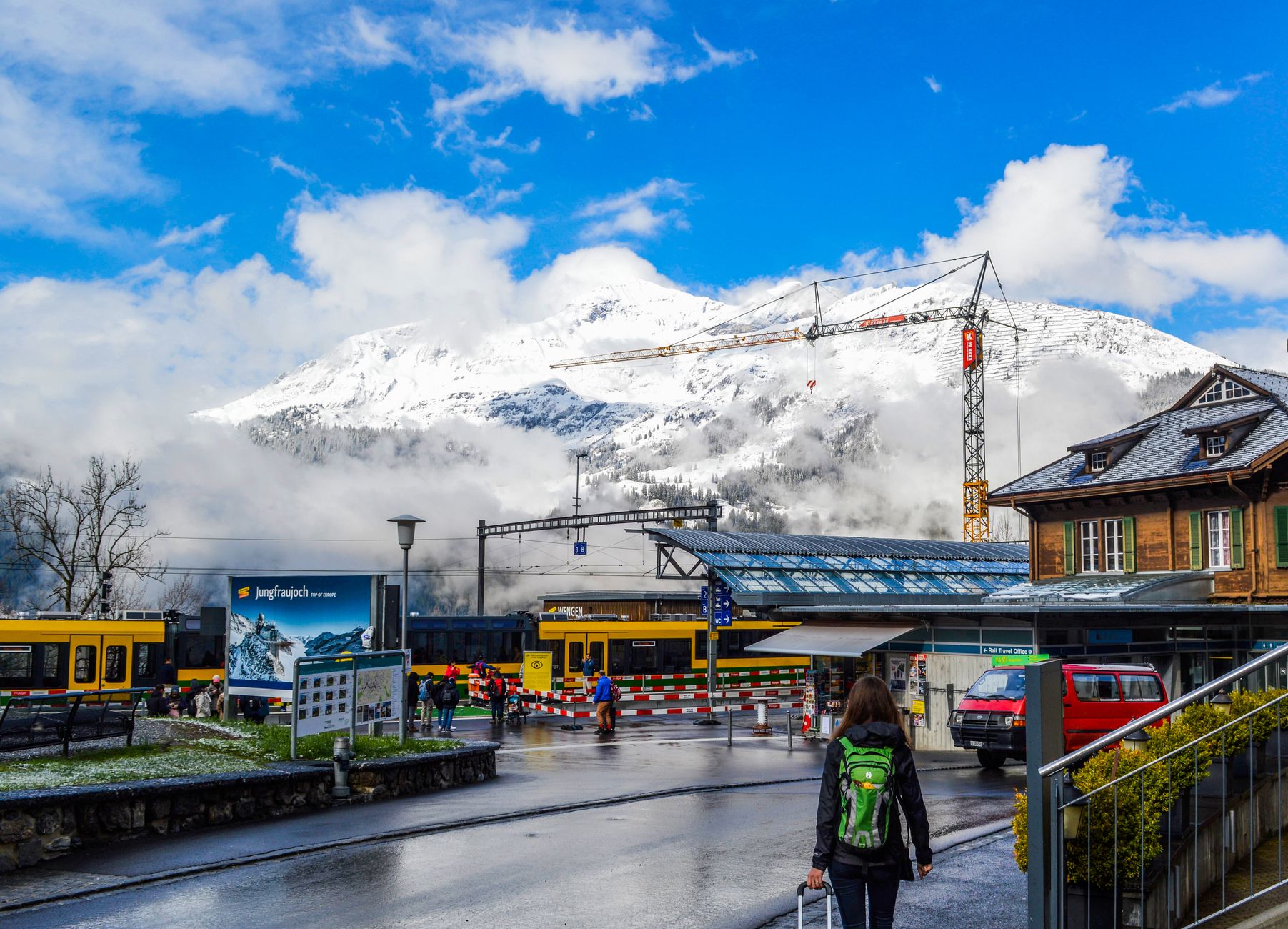
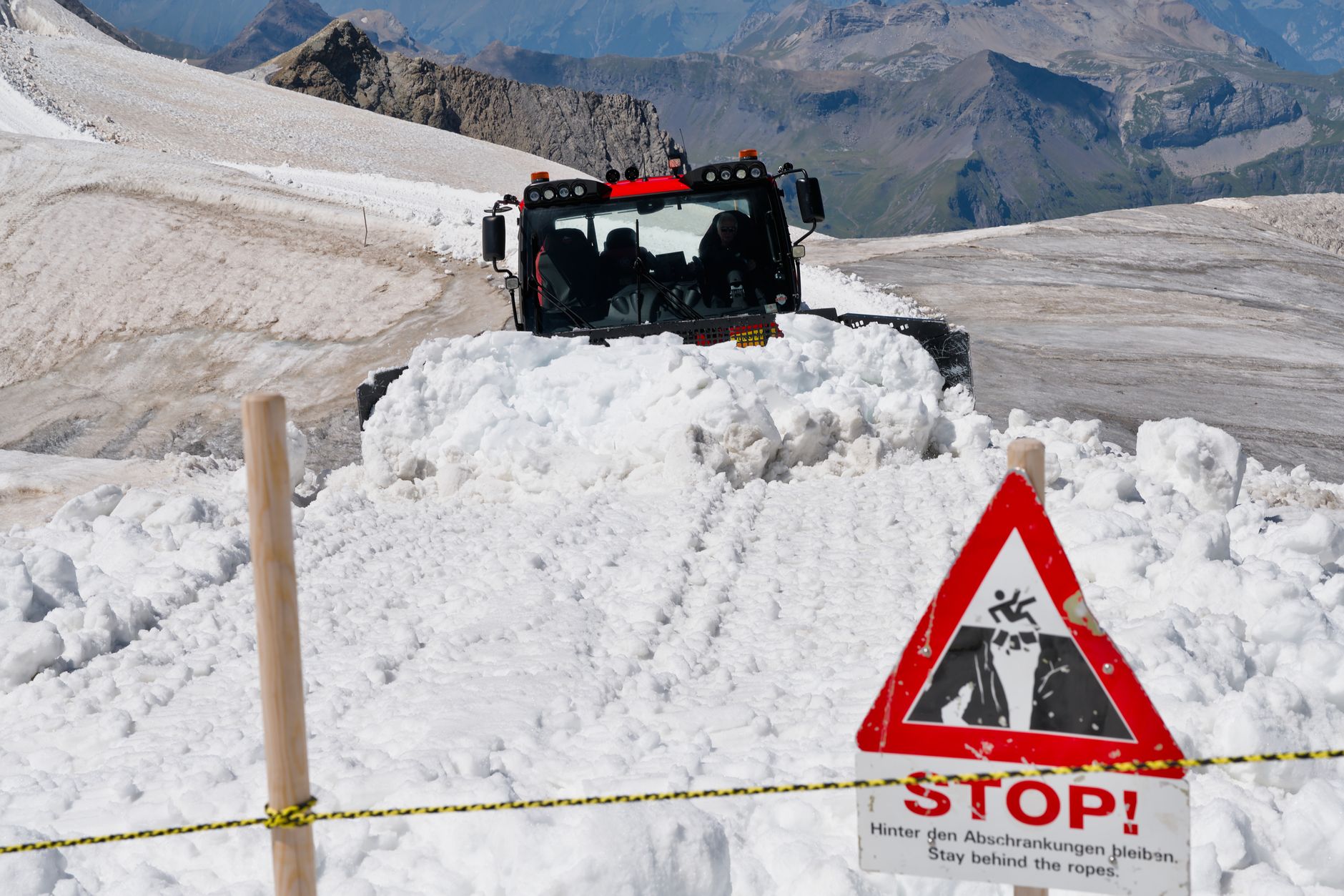
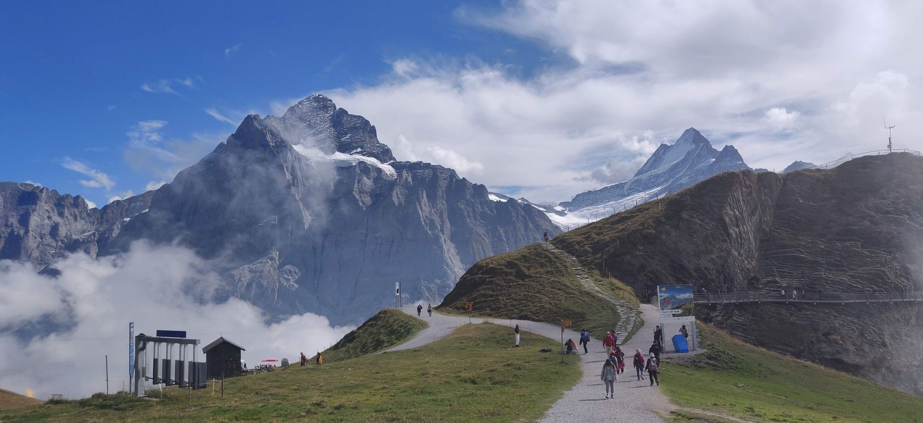
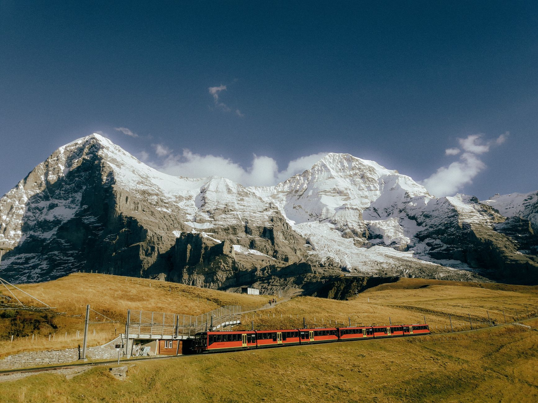
The Jungfrau Region is two valleys running south from Interlaken — Grindelwald to the east, Lauterbrunnen to the west — with the Eiger, Mönch and Jungfrau closing off the horizon like a wall. The scale takes a moment to register. Trümmelbach Falls pushes 20,000 litres of glacial meltwater per second through tunnels carved inside the rock over 15,000 years; Staubbach drops 297 metres in a single free fall; Bachalpsee sits at 7,434 feet above Grindelwald, technically two lakes divided by a natural dam.
Beyond Grindelwald and Stechelberg, the villages — Wengen, Mürren, Gimmelwald — are car-free and reachable only by train or cable car, which shapes everything about the pace here. You move on the region's schedule, not your own.
💛 What travellers fall for
People who come back tend to pick a valley and stay in it. The Lauterbrunnen side rewards slower mornings: walk to Staubbach before the coaches arrive, take the train up to Mürren in the afternoon. Grindelwald suits those who want the high routes — First, Bachalpsee, the Eiger Express straight to Eigergletscher. Jungfraujoch is worth the price once; most regulars skip it on return trips.
How Jungfrau Region came to be
The Jungfrau stood unclimbed until August 3, 1811, when brothers Johann Rudolf and Hieronymus Meyer, accompanied by two chamois hunters from Valais, reached the summit. That ascent quietly opened the Bernese Oberland to a new kind of traveller. Thomas Cook identified the region's potential in 1863, and the infrastructure followed.
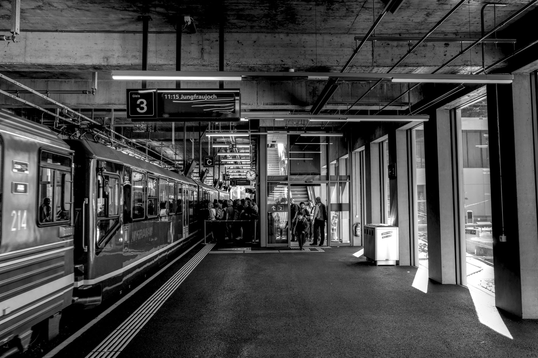
The defining engineering act came from industrialist Adolf Guyer-Zeller, who conceived the Jungfrau Railway in 1893 after studying engineering at ETH. Construction began in 1896 and ran for sixteen years, cutting a 7-kilometre tunnel through the Eiger and Mönch to deposit passengers at 3,454 metres — still the highest railway station in Europe. The Schynige Platte Railway, inaugurated the same year Guyer-Zeller had his vision, still runs locomotives built in 1914.
Who and what shaped it
People who shaped it
Landmark buildings
See Jungfrau Region in motion
Plan your visit
On the map
When to go
Summers (June–September) bring the clearest skies for high-altitude routes, though afternoon cloud builds quickly above 2,000 metres. Winter (December–March) is reliably snowy at elevation; valley floors can sit in fog for days at a stretch, while the peaks above stay sharp and bright.
Right now
Background & history adapted from Wikipedia (CC BY-SA) · specs from Wikidata (CC0) · weather from Open-Meteo · map data © OpenStreetMap contributors · photos from Wikimedia Commons / Unsplash with per-image credit. No third-party reviews or social posts reproduced.