
Jimbaran
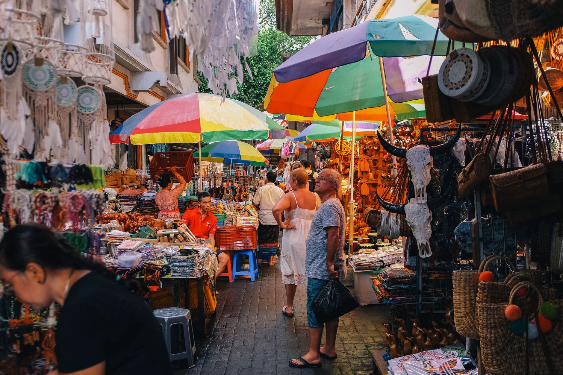
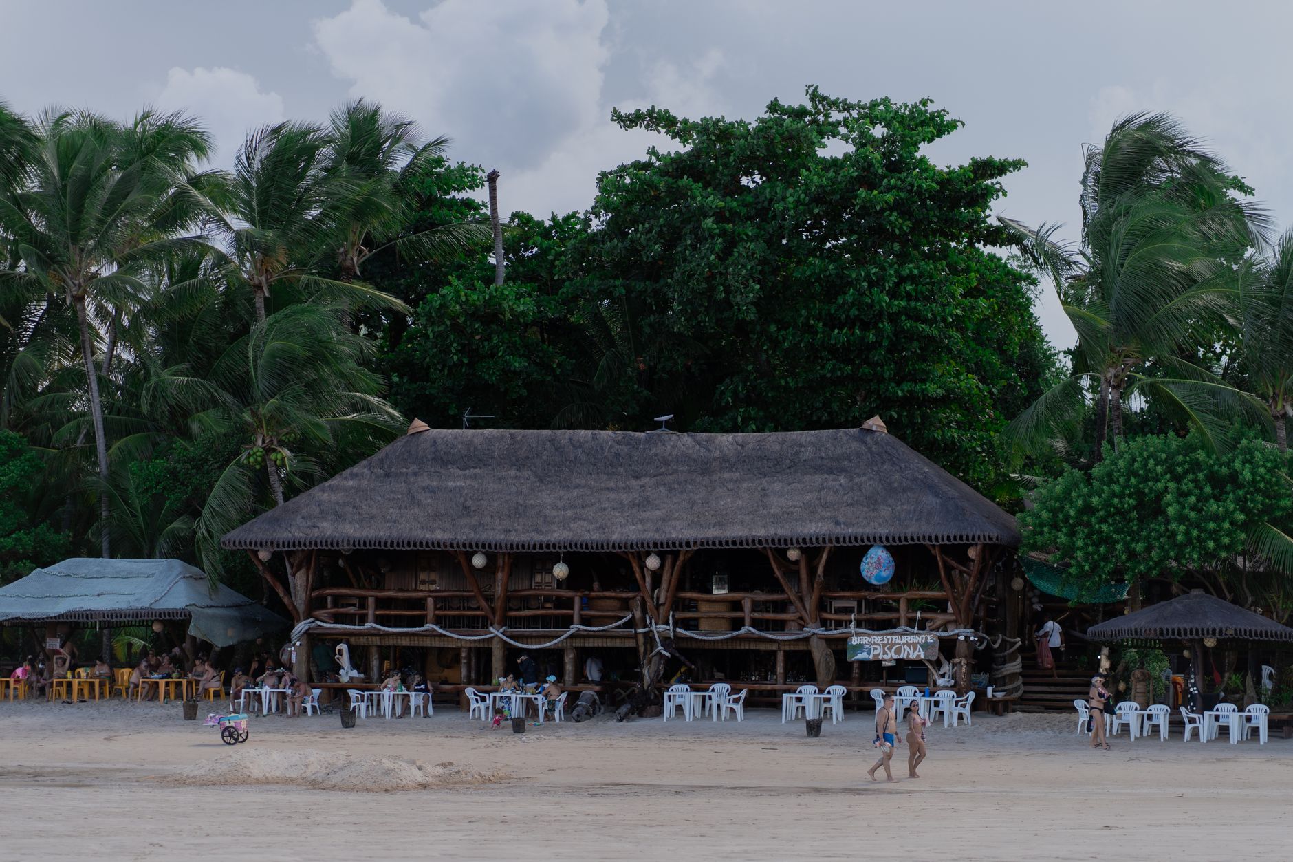
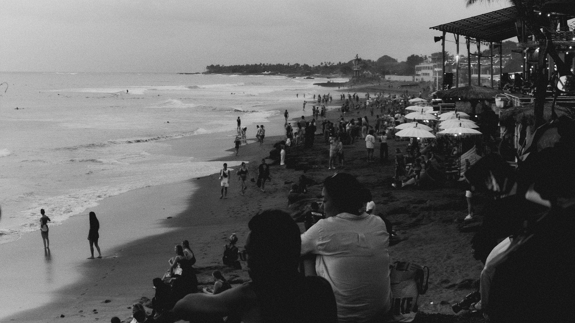

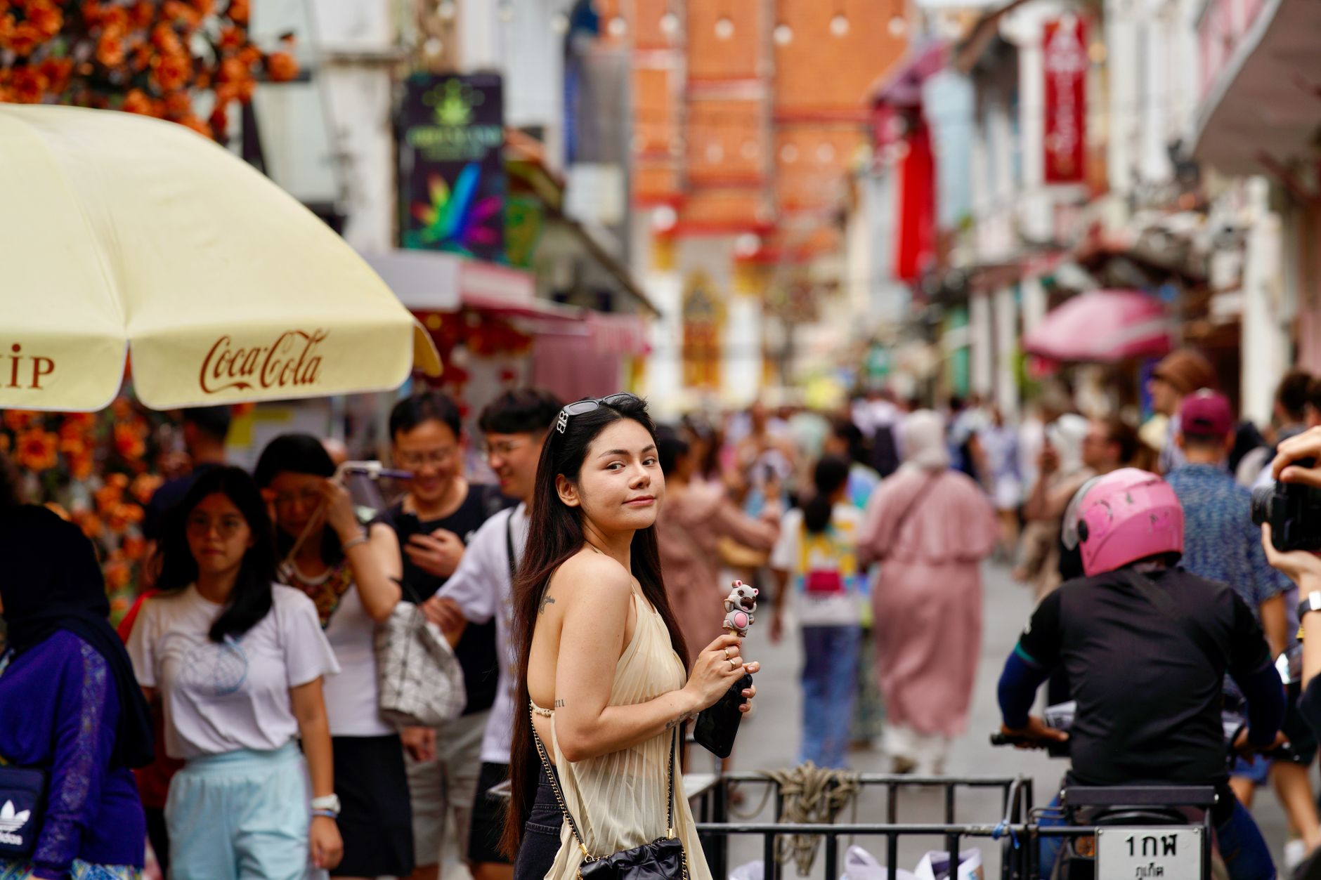
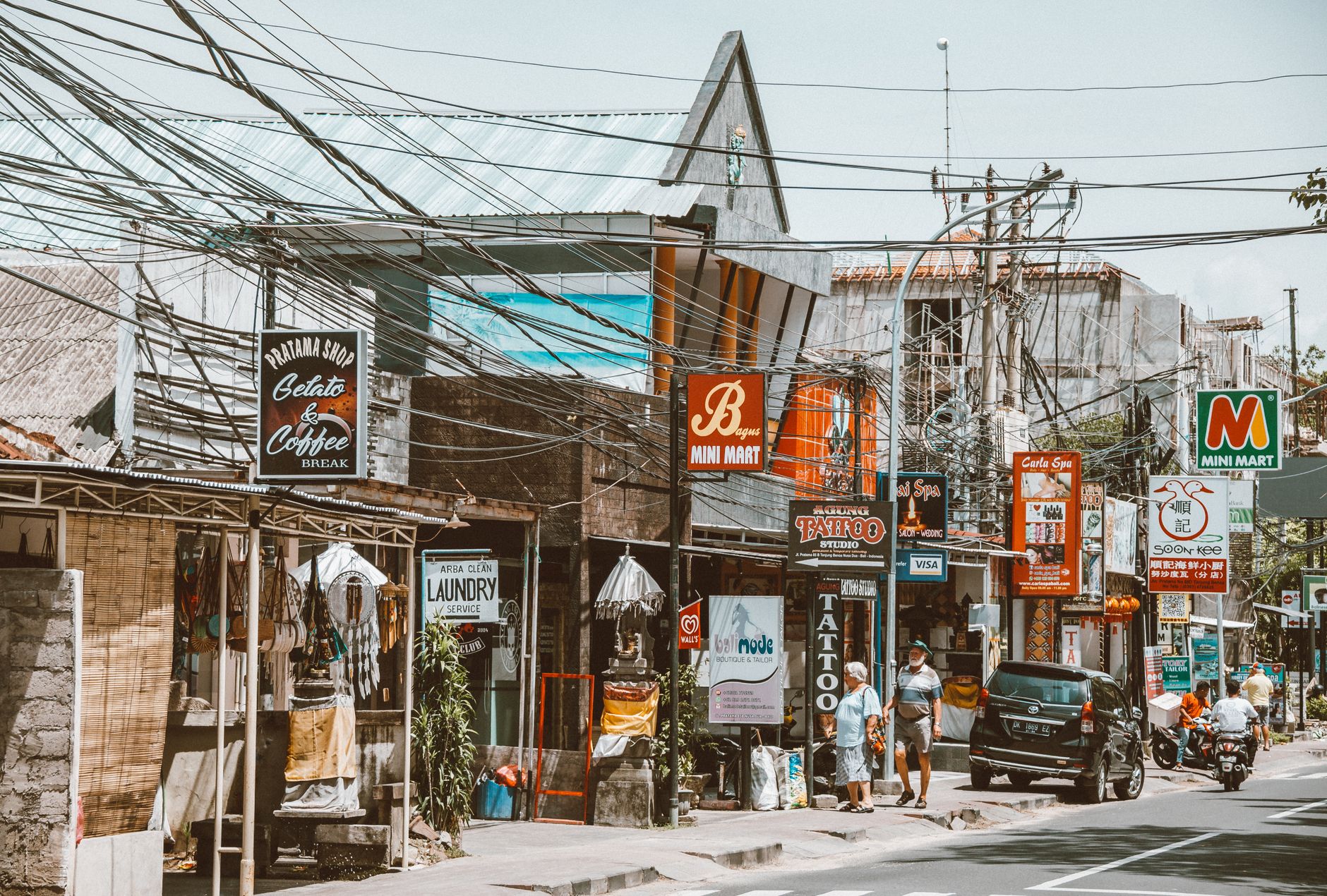
Jimbaran sits at the narrow neck of the Bukit Peninsula, close enough to Ngurah Rai Airport that you can be eating grilled fish on the beach within half an hour of landing. That proximity shapes the place: the bay curves in a long, calm arc, the fishing boats still go out before dawn, and the smell of charcoal and seafood drifts across the sand most evenings as the sun drops into the Indian Ocean.
It is not a place that demands much of you. The beach runs for four kilometres of clean white sand, the water is gentle, and the restaurants are built for long, unhurried meals. What pulls people back is not spectacle — it is the particular ease of a place that has learned, over decades, how to feed you well and leave you alone.
💛 What travellers fall for
Regulars tend to agree on a few things: get to Kedonganan Fish Market early — it opens at 6am and the best catches move fast. Book Rock Bar at AYANA for sunset, not dinner; the funicular and the cave passage down the cliff are half the experience. And hire a private driver rather than fighting rideshare surge pricing on the peninsula roads.
Deals in Jimbaran
Book directly at the provider


How Jimbaran came to be
Oral tradition traces Jimbaran's founding to Dalem Putih, a son of the Klungkung ruler Ida Dewa Agung Sri Ratu Dalem, who migrated southwest from eastern Bali after a familial exile and settled near Uluwatu Temple with the spiritual guidance of Dukuh Sakti. The area developed as a coastal fishing settlement within the Hindu-Buddhist polities shaped by the Majapahit Empire's arrival in Bali in 1343.
For most of its history, Jimbaran remained a modest village. It fell under Dutch colonial authority in 1906 following the defeat of the Badung Kingdom, but saw little change — fishing and agriculture sustained it through the colonial period and beyond. Tourism arrived gradually in the 1980s as Bali's reputation spread, and the opening of the Four Seasons Resort at Jimbaran Bay in 1993 marked the point at which the village's trajectory shifted decisively toward the international hospitality trade it runs today.
Who and what shaped it
Landmark buildings
See Jimbaran in motion
Plan your visit
On the map
When to go
Jimbaran's dry season runs roughly April to October, with sunny days, lower humidity, and temperatures between 27–31°C — June through September is the sweet spot for beach time and calm seas. The wet season (November to March) brings heavy afternoon showers, higher humidity, and ocean swells that can wash debris onto the shore.
Right now
Background & history adapted from Wikipedia (CC BY-SA) · specs from Wikidata (CC0) · weather from Open-Meteo · map data © OpenStreetMap contributors · photos from Wikimedia Commons / Unsplash with per-image credit. No third-party reviews or social posts reproduced.