
Jeju Island
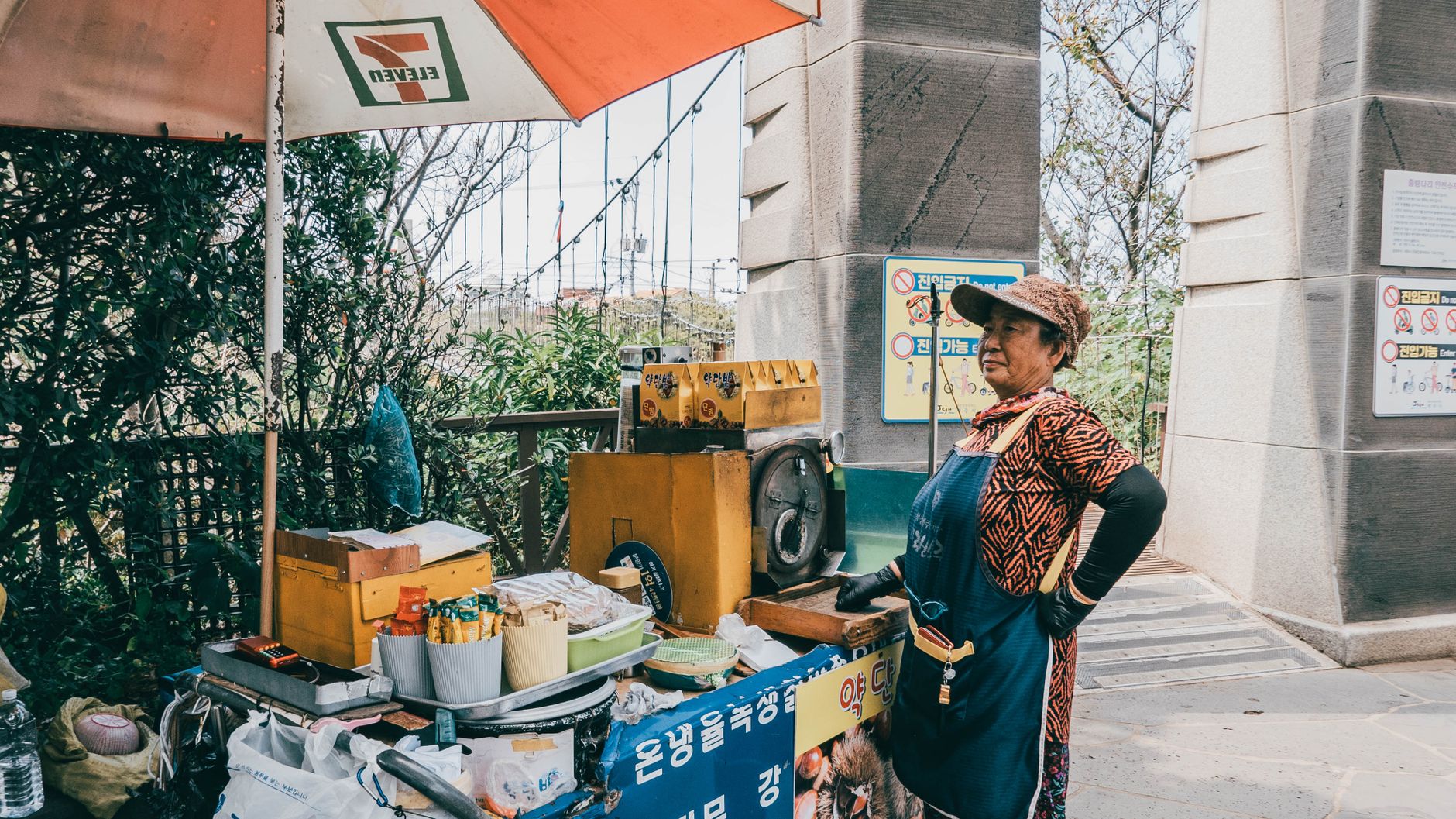
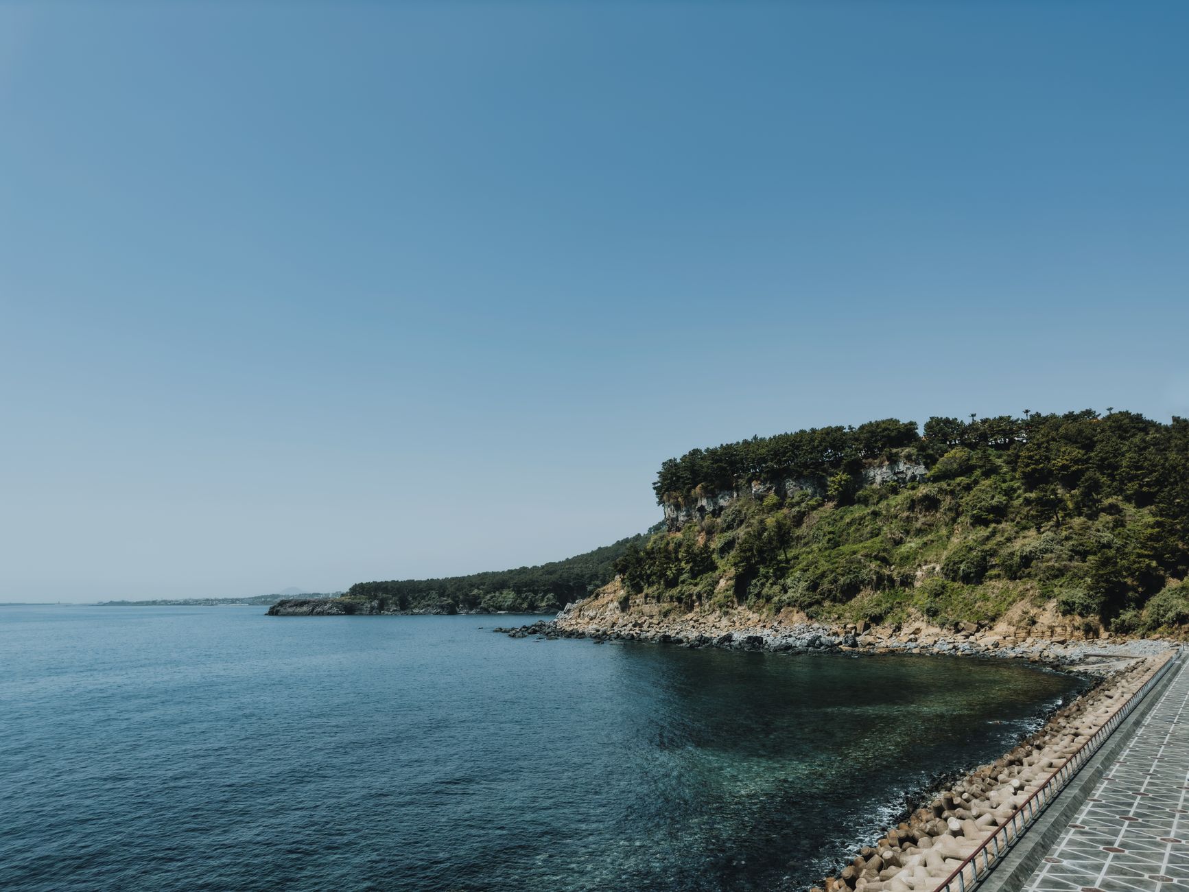
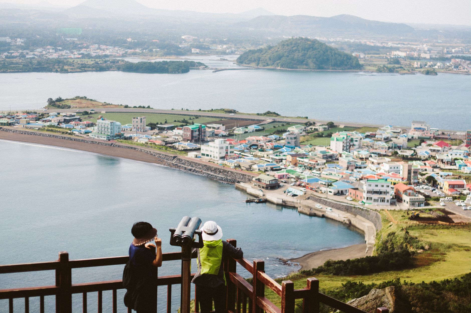
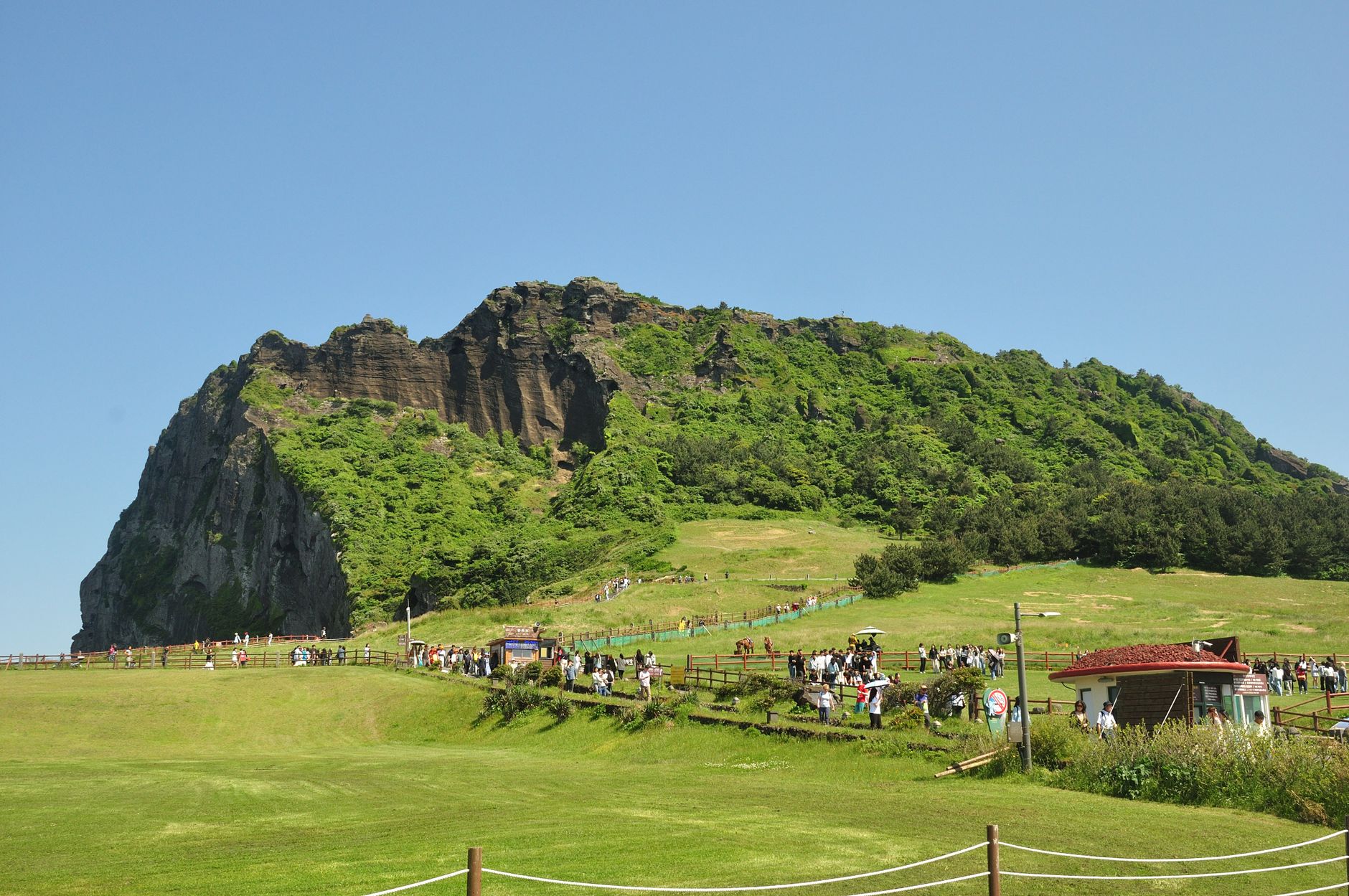
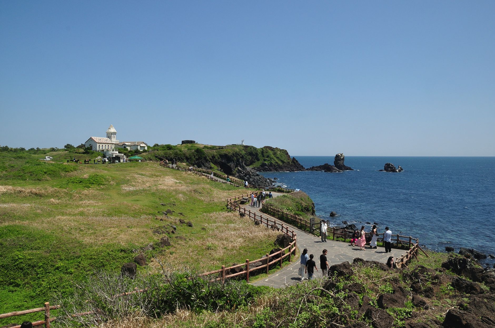
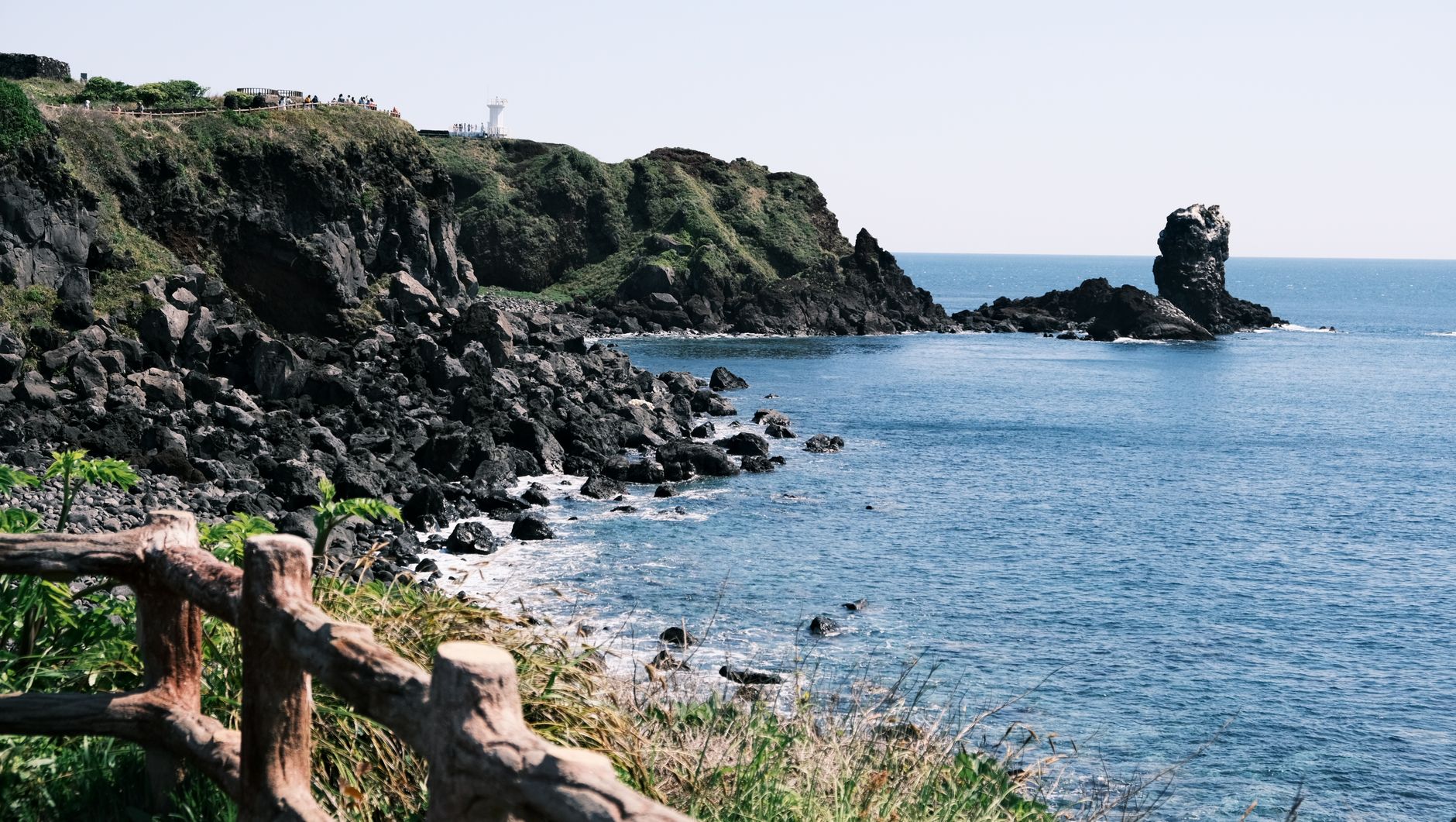
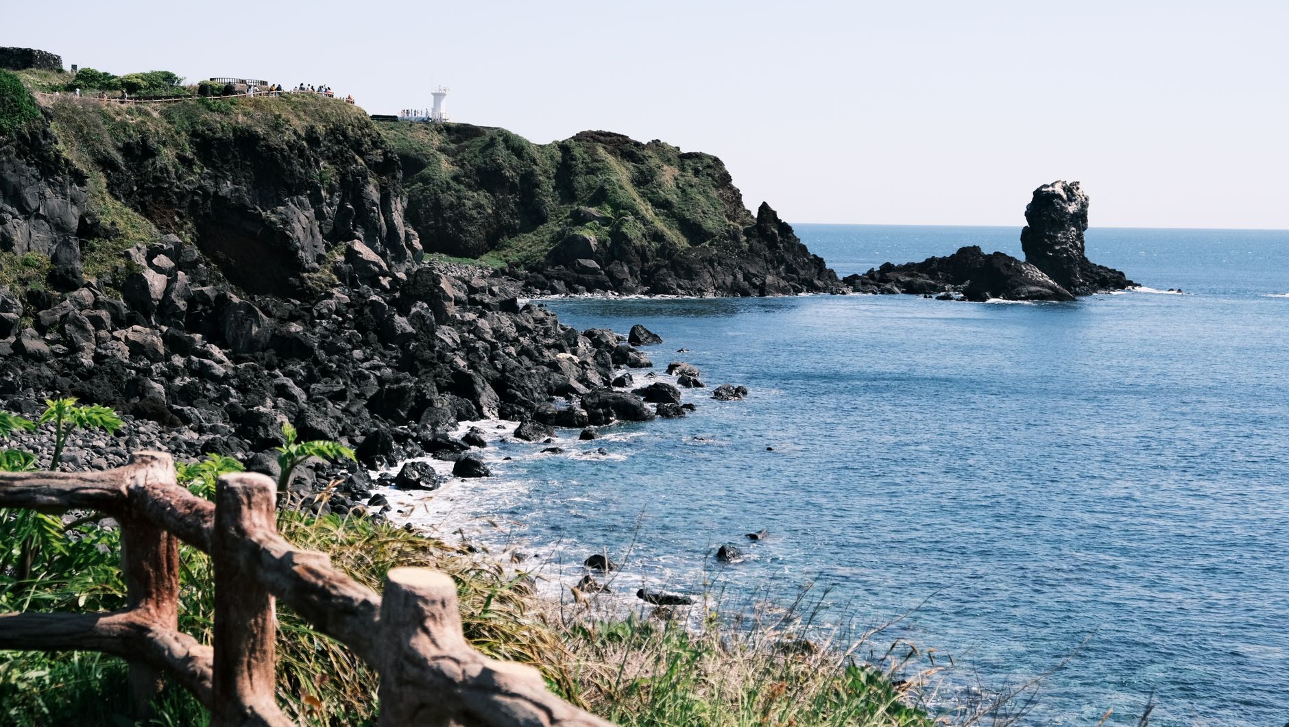
South Korea's southernmost island sits on a shield volcano that pushed up from the ocean floor two million years ago, and the geology never lets you forget it. The island's spine is Hallasan — at 1,947 metres the highest point in the country — and radiating out from it are around 360 smaller extinct cones called oreum, lava tubes that run for kilometres underground, and a coastline shaped by fire meeting sea.
What you find on top of all that rock is stranger and more layered: women in their seventies and eighties who free-dive to ten metres to harvest abalone, a merchant-philanthropist who gave away her entire fortune to feed a starving island, and a church whose zinc roof catches light like fish scales.
💛 What travellers fall for
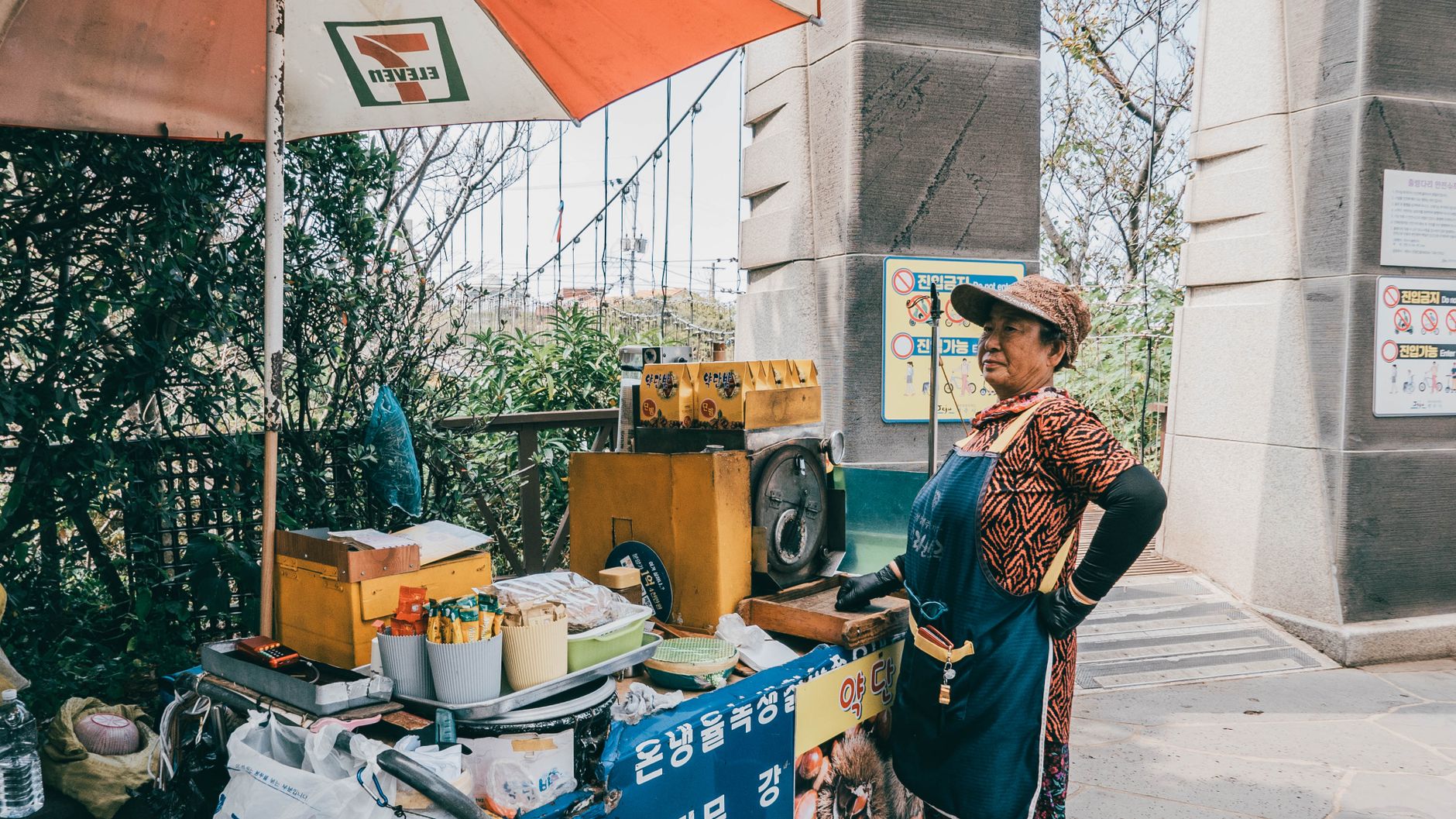
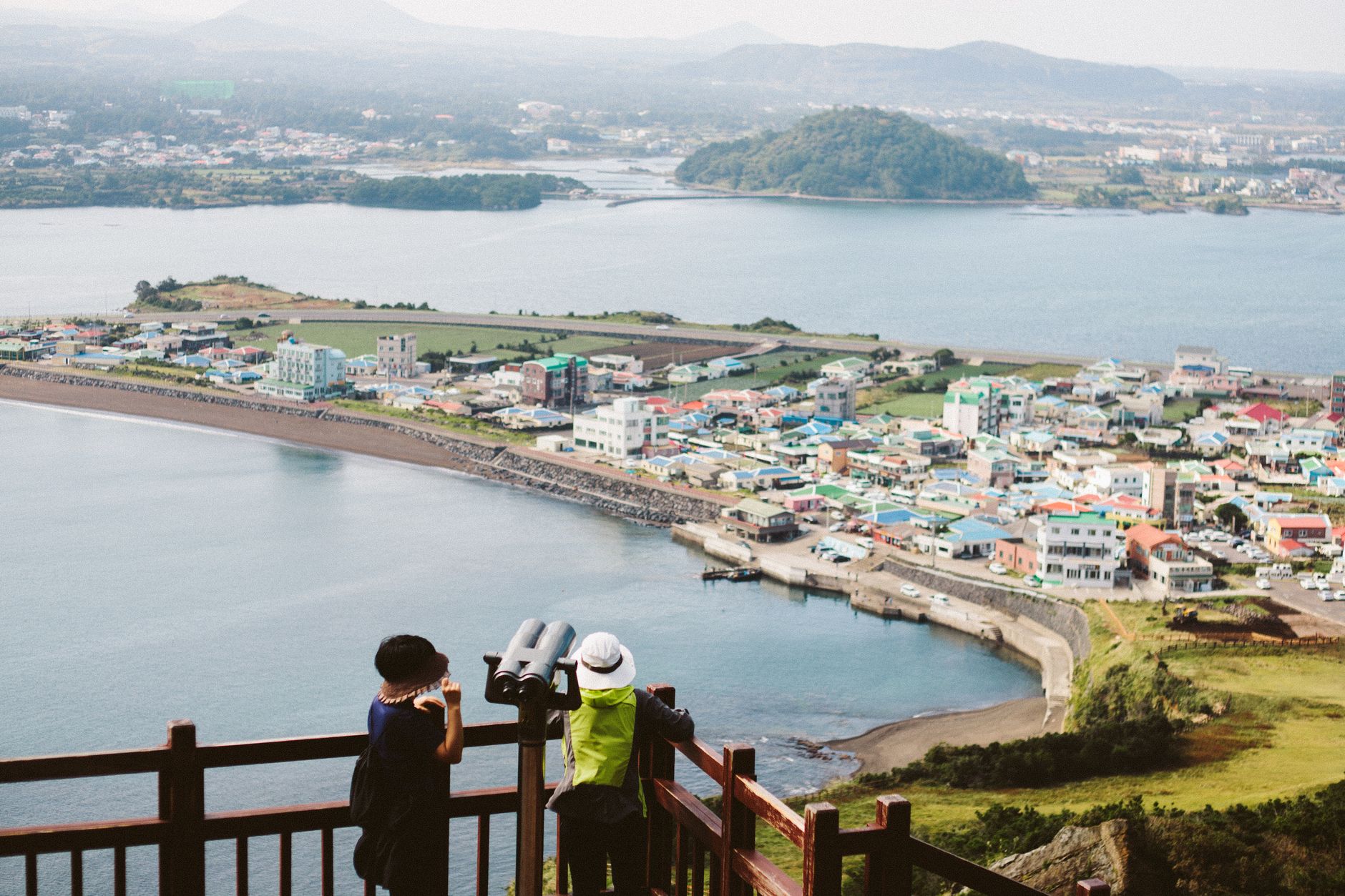
People who come back tend to do it by season — the oreum walks in autumn, the Hallasan crater trail before the summer crowds arrive. Regulars will tell you to skip the resort strip at Jungmun and instead follow the coastal road east toward Seongsan, where the crater of Ilchulbong rises straight out of the water and the villages still feel like they belong to the haenyeo.
How Jeju Island came to be
Legend says three divine founders — Go, Yang, and Bu — rose from holes in the ground here in the 24th century BC. Those holes, the Samseonghyeol, are still visible in Jeju City. For centuries the island operated as Tamna, an independent kingdom, before becoming a vassal of the Goryeo dynasty in 938 AD. In 1404, the Joseon king Taejong dissolved what remained of Tamna's autonomy and brought the island under direct central rule.
The twentieth century left a harder mark. Between April 1948 and May 1949, a political uprising resulted in the deaths of an estimated 30,000 people, the majority killed by security forces. The event was suppressed from public memory for decades and only formally acknowledged in recent years.
Who and what shaped it
People who shaped it
Landmark buildings
See Jeju Island in motion
Plan your visit
On the map
When to go
Spring (April–May) brings mild temperatures and cherry blossoms on Hallasan's lower slopes; autumn (September–November) is clear and cool, ideal for hiking. Summers are warm and humid with a typhoon risk in July and August; winters are mild by Korean standards but wet and windy on the coast.
Right now
↡ Cities
Background & history adapted from Wikipedia (CC BY-SA) · specs from Wikidata (CC0) · weather from Open-Meteo · map data © OpenStreetMap contributors · photos from Wikimedia Commons / Unsplash with per-image credit. No third-party reviews or social posts reproduced.