
Jarabacoa
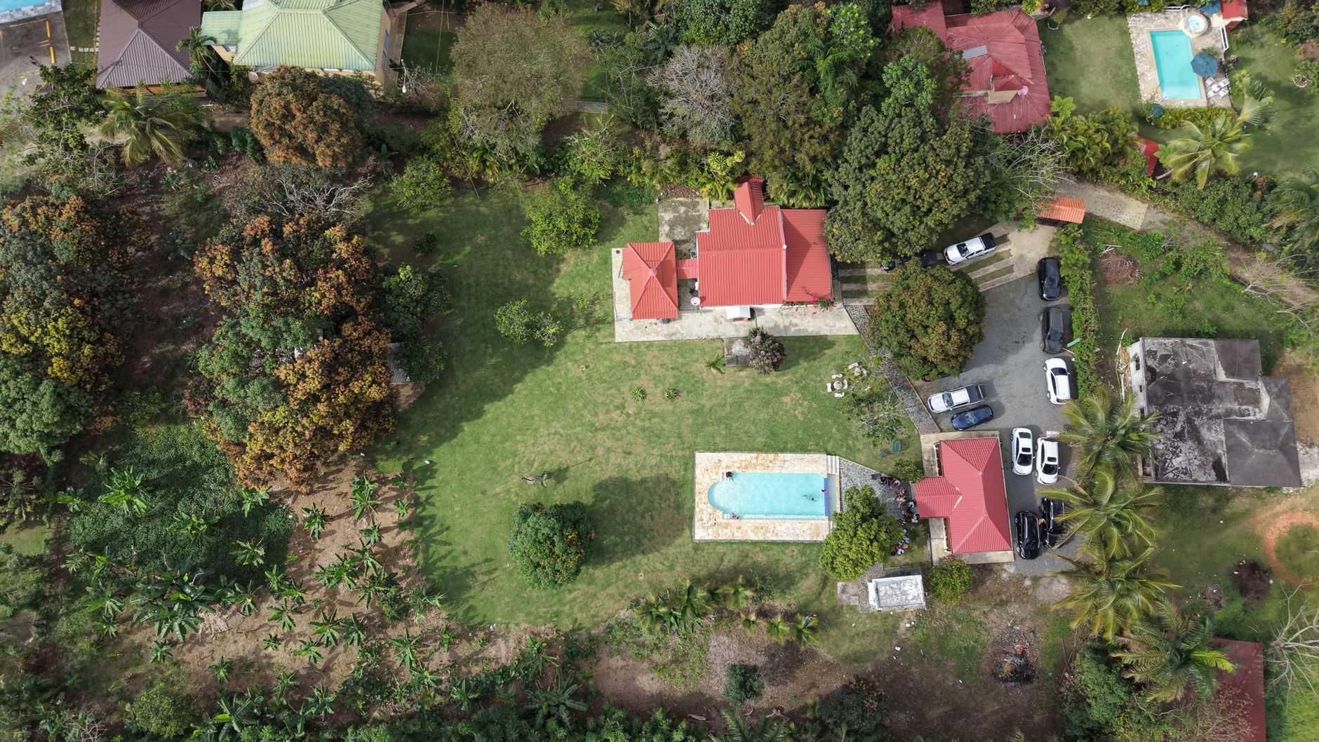
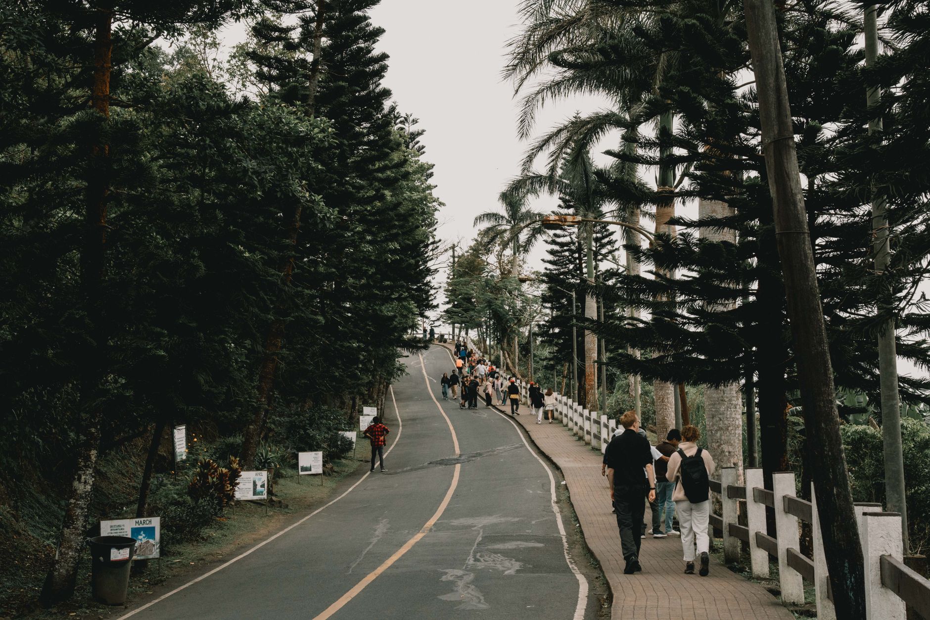

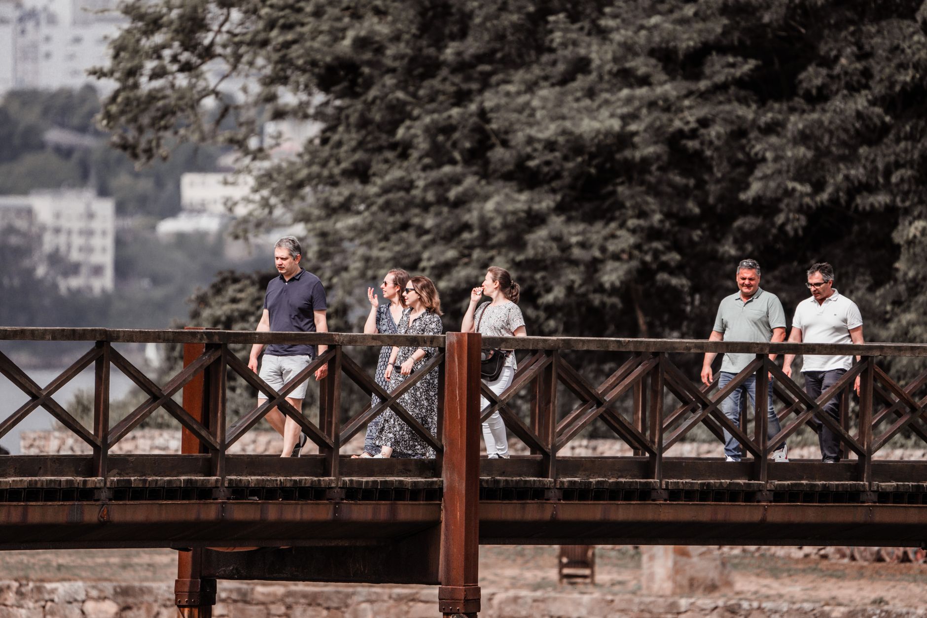
The Dominican Republic runs hotter in the popular imagination than it does in Jarabacoa. Sitting at roughly 530 metres above sea level in the Cordillera Central, this mountain town trades the coast's salt and sunburn for cool mornings, pine-scented air, and the sound of three rivers — the Baiguate, the Jimenoa, and the Yaque del Norte — threading through the valley below. The Taíno called it the Land of Waters, and the name still earns its keep.
Jarabacoa draws people who want to move through the landscape: white-water rafting, canyoning, long walks to the base of the Jimenoa and Baiguate waterfalls. The town centre is compact and unhurried, its Catholic church anchoring a square where motoconchos idle between fares. Two days is the typical stay, though the mountains have a way of extending plans.
How Jarabacoa came to be
The Taíno people farmed and named this valley long before Spanish expeditions pushed into the Cordillera Central searching for gold. Those expeditions stalled — local resistance was fierce enough to turn the conquistadors back — and the valley stayed largely undisturbed until a population surge in 1805 brought landowners up from the lowlands. A military post followed in 1854, formalising the town's role as a communication link between the Cibao region and the south, and on September 27, 1858, Jarabacoa became an official municipality.
In the early twentieth century the surrounding forests made Jarabacoa central to the Dominican Republic's timber trade. Later, the mountains attracted a different kind of institution: in 1989, Cistercian monks from Viaceli Abbey established a monastery here, quietly adding a contemplative note to a town better known for its rivers.
Who and what shaped it
People who shaped it
Landmark buildings
See Jarabacoa in motion
Plan your visit
On the map
When to go
Jarabacoa runs noticeably cooler than the Dominican coast year-round — daytime highs hover between 26 °C in January and 30 °C in August, with nights dropping to 14–18 °C. March is the driest month; May and October bring the heaviest rain, so pack a layer and a light waterproof whenever you visit.
Right now
Background & history adapted from Wikipedia (CC BY-SA) · specs from Wikidata (CC0) · weather from Open-Meteo · map data © OpenStreetMap contributors · photos from Wikimedia Commons / Unsplash with per-image credit. No third-party reviews or social posts reproduced.