
Jakarta
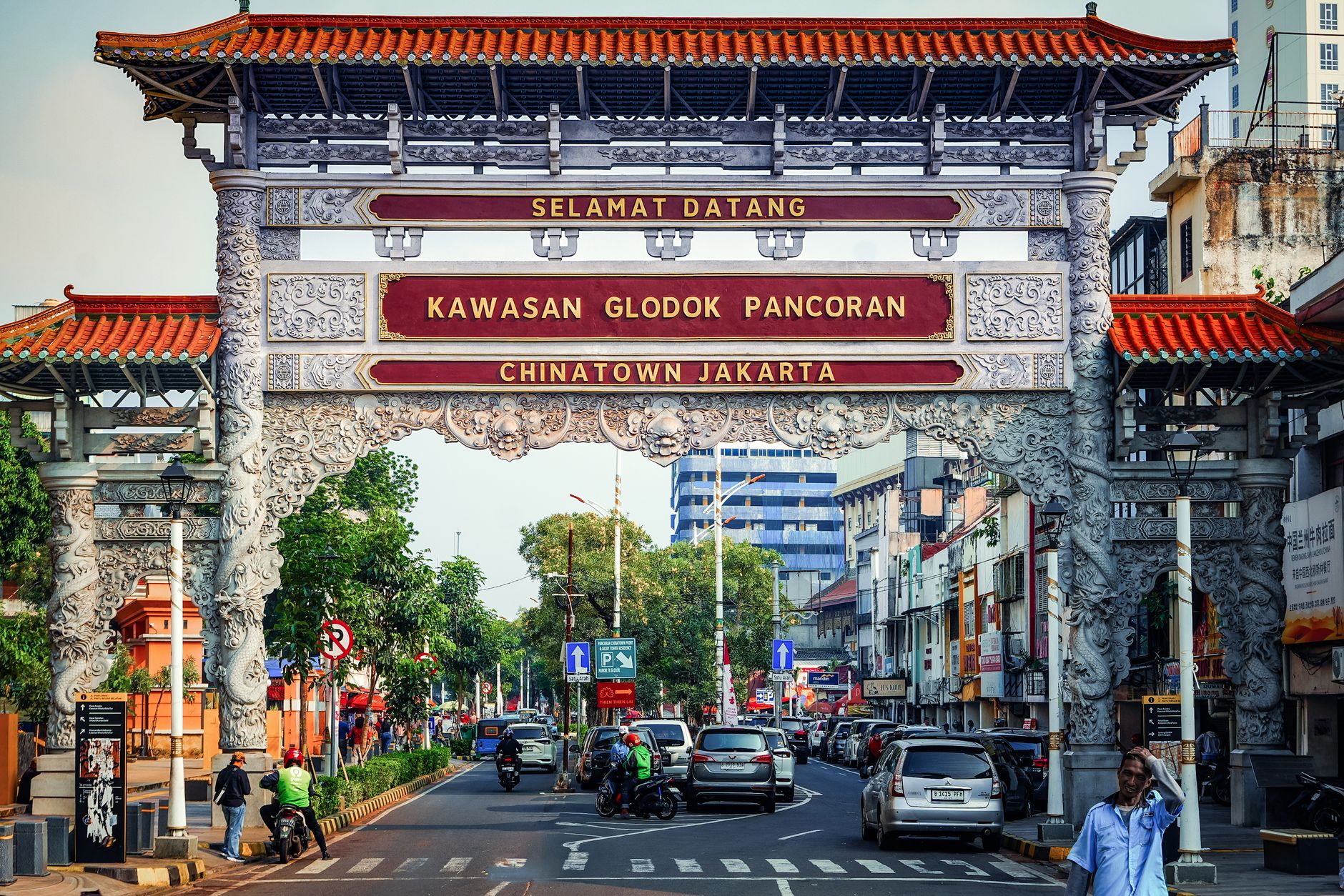
Jakarta announces itself through scale. The MRT slides south from Bundaran HI past glass towers and kampung rooftops, and within two stops you understand that this is a city that never resolved its contradictions — it just kept building over them. At its northern edge, Sunda Kelapa port still loads inter-island freight onto wooden pinisi schooners, a scene unchanged in its essentials since the Dutch drew their first maps of the place.
As Indonesia's capital and its largest city, Jakarta is where colonial-era warehouses stand a short walk from the country's biggest mosque, where Sukarno's grand monuments anchor wide ceremonial avenues, and where the street-food geography shifts block by block. Two days is enough to take a serious measure of it.
How Jakarta came to be
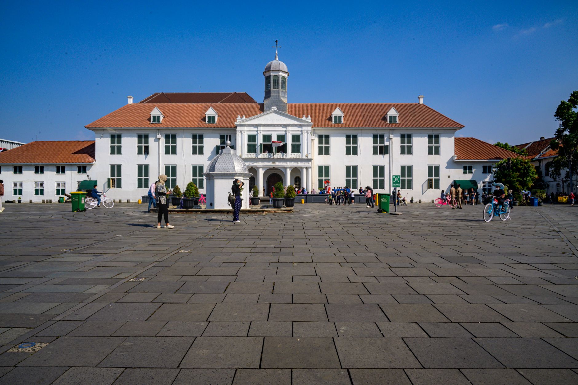
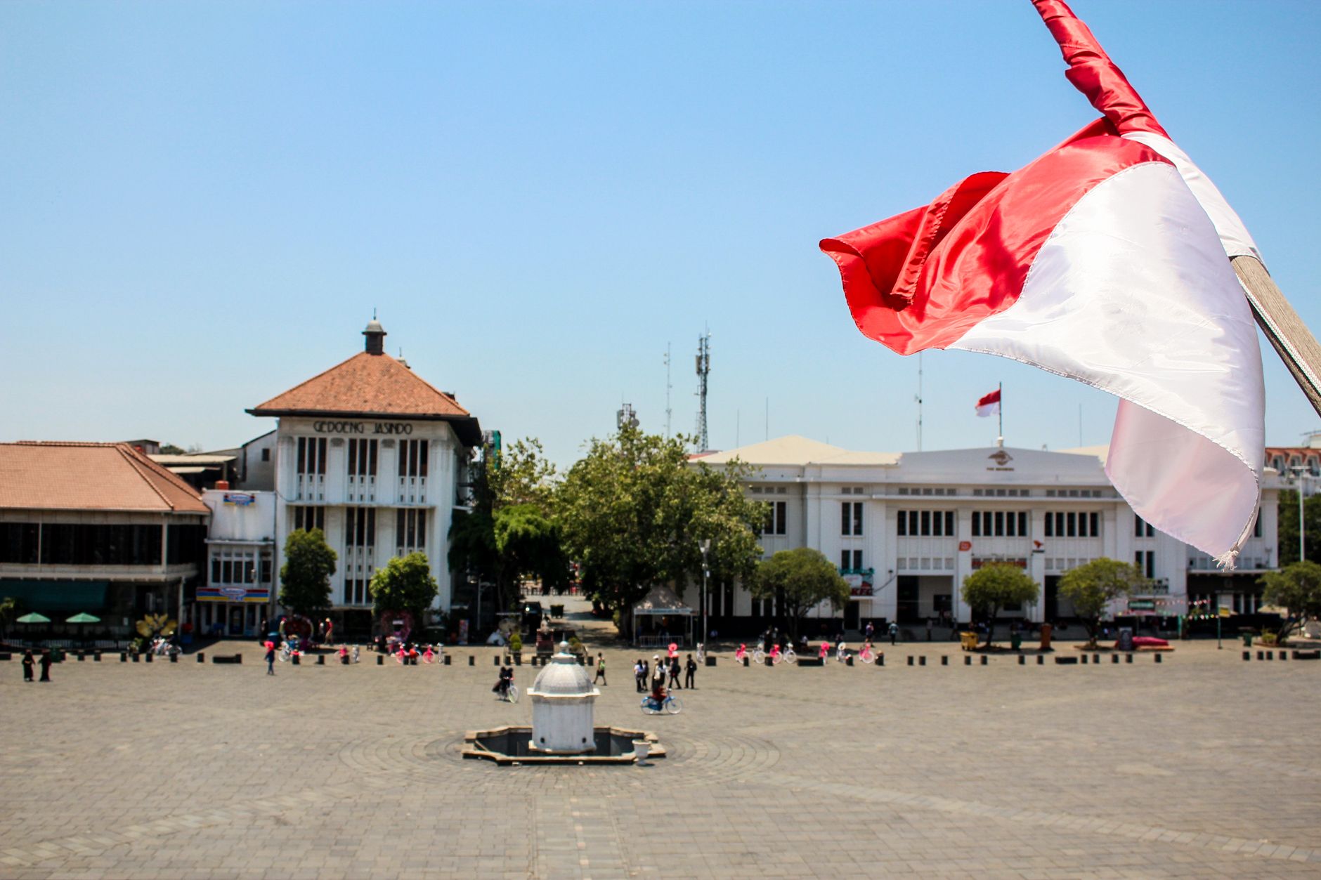
On 22 June 1527, a military leader named Fatahillah captured the port of Sunda Kelapa on behalf of the Demak Sultanate, renaming it Jayakarta — Sundanese for 'Glorious Fortress.' The settlement had already been drawing traders to the mouth of the Ciliwung River for centuries. That founding didn't hold for long: in 1619, Jan Pieterszoon Coen seized the city for the Dutch East India Company, razed it, and rebuilt it as Batavia, modelled on Amsterdam down to its canals and brick facades. The Stadhuis that still stands on Fatahillah Square was built between 1707 and 1710 and governed the Dutch East Indies for over two centuries.
Batavia became Djakarta during the Japanese occupation, and on 17 August 1945, Indonesia declared independence. President Sukarno spent the 1950s reshaping the city with monumental projects — the 132-metre Monas tower, inaugurated in 1975, remains the most visible legacy of that ambition. The name Jakarta was formally recognised as capital on 27 December 1949.
Who and what shaped it
People who shaped it
Landmark buildings
See Jakarta in motion
Plan your visit
On the map
When to go
Jakarta sits just south of the equator and is warm year-round, rarely dropping below 24°C. The dry season runs roughly May through September — the more comfortable window for walking Kota Tua or the open plazas around Monas. The wet season, November through March, brings heavy daily downpours that can flood low-lying streets, including parts of the old town.
Right now
Background & history adapted from Wikipedia (CC BY-SA) · specs from Wikidata (CC0) · weather from Open-Meteo · map data © OpenStreetMap contributors · photos from Wikimedia Commons / Unsplash with per-image credit. No third-party reviews or social posts reproduced.