
Izmir
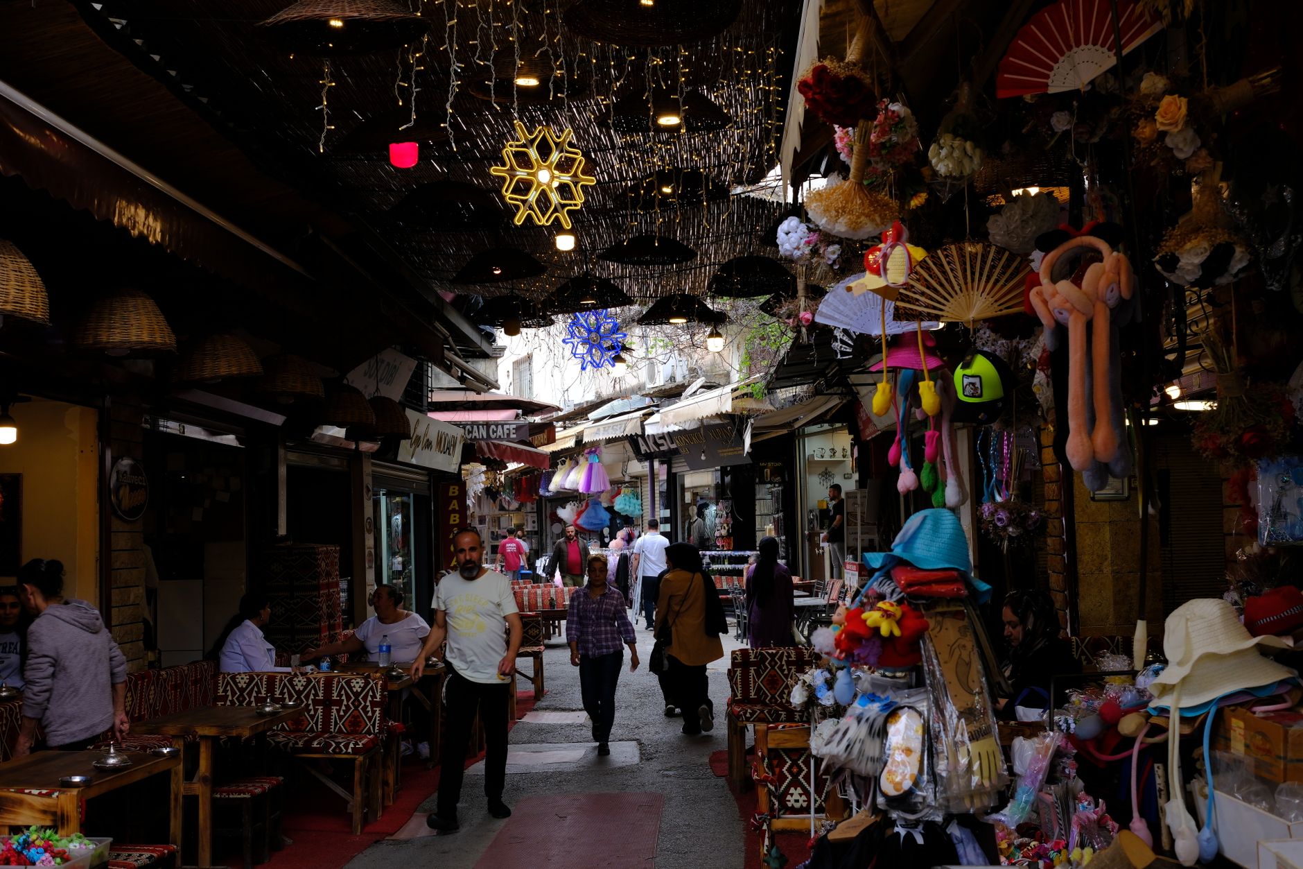
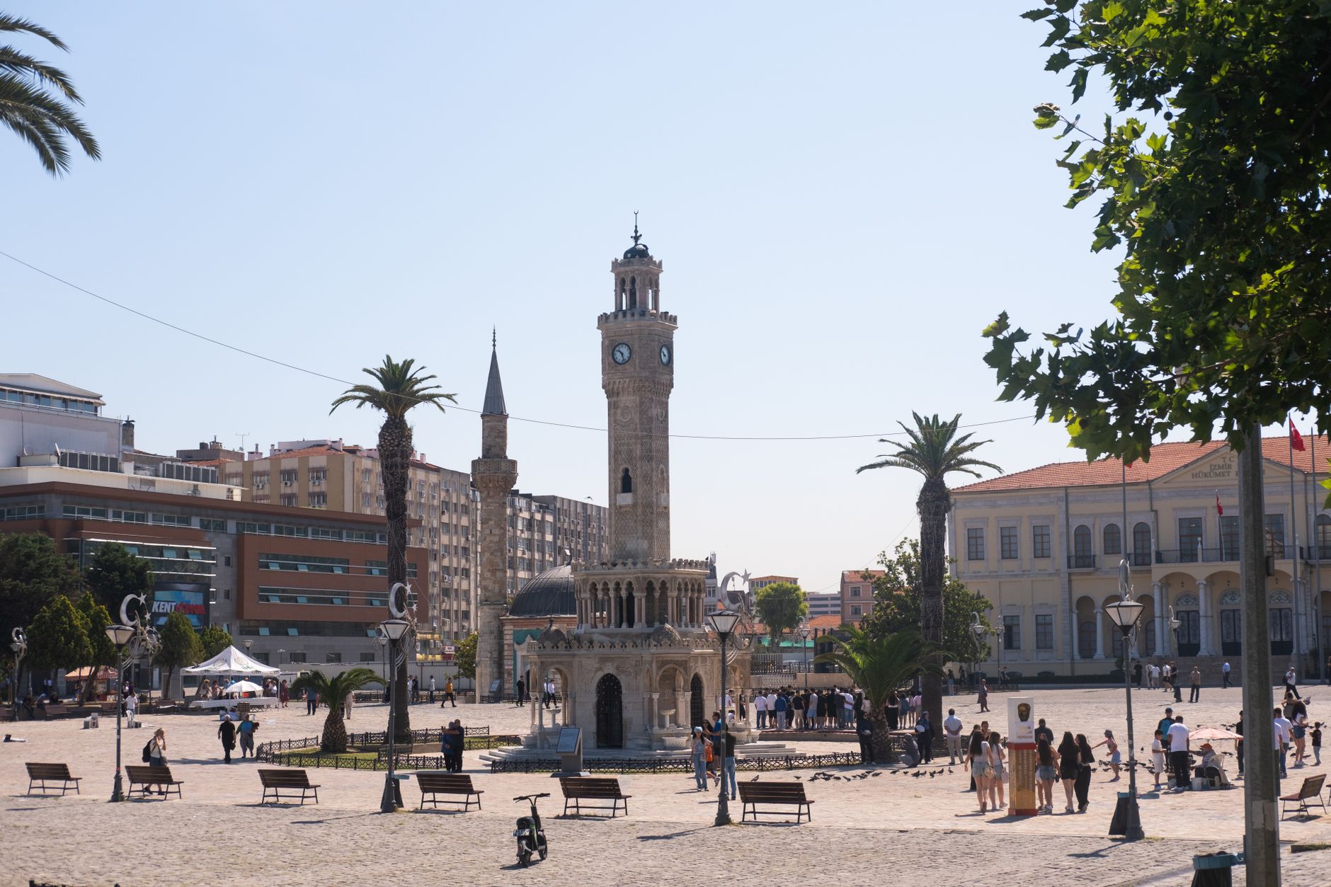
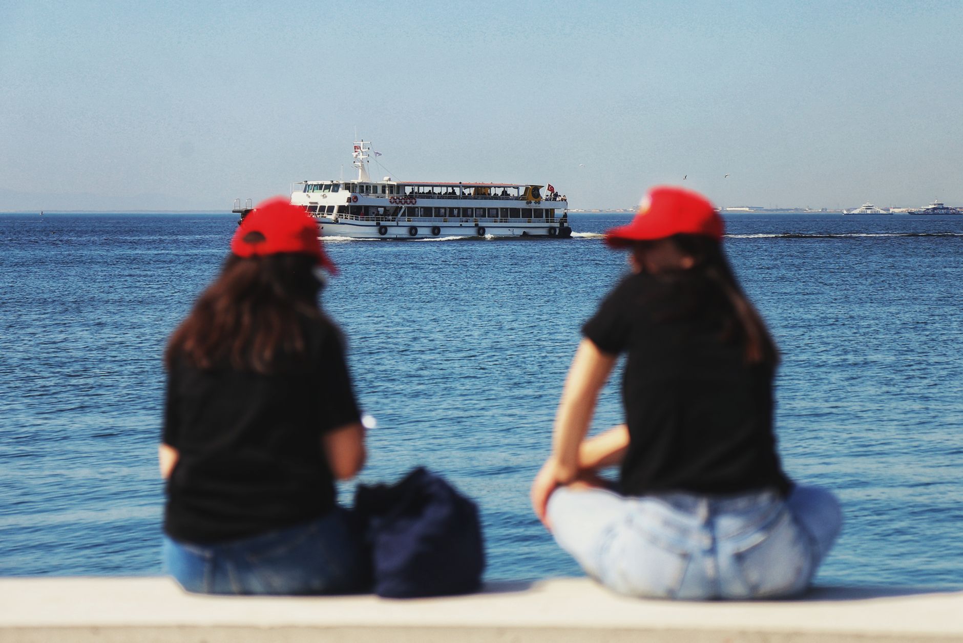
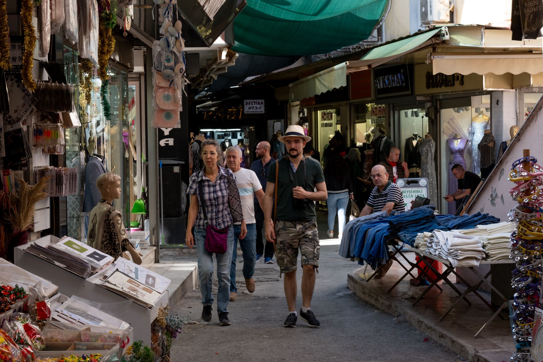
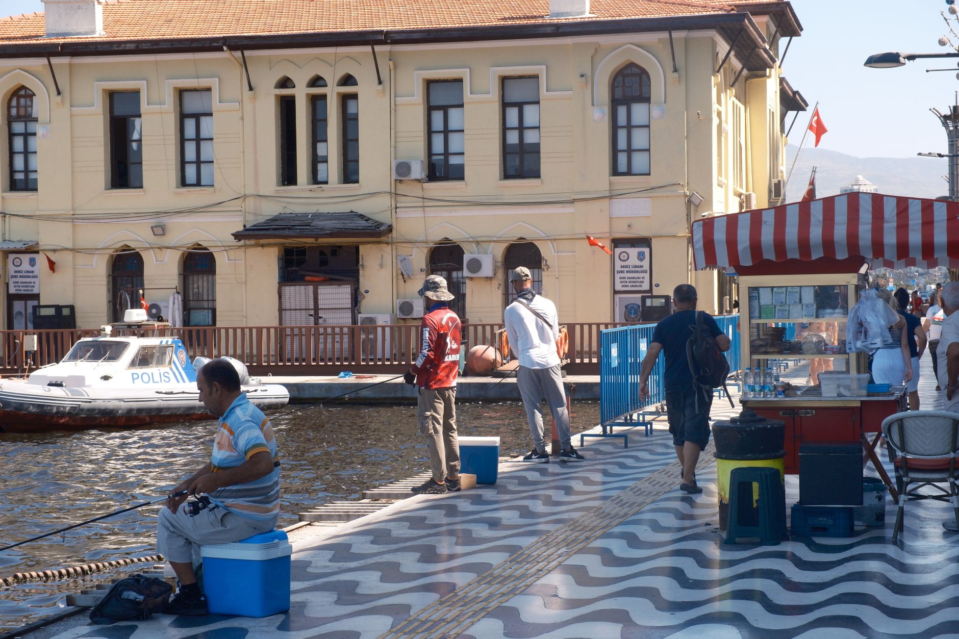
İzmir announces itself at the waterfront. The Kordon promenade runs along the bay with a directness that feels almost Mediterranean — ferries crossing, the Clock Tower standing 25 metres tall at Konak Square, and the hills behind the city stacked with centuries of stone. This is Turkey's third-largest city and its most westward-looking, a port that has been trading, arguing and rebuilding itself for roughly three thousand years.
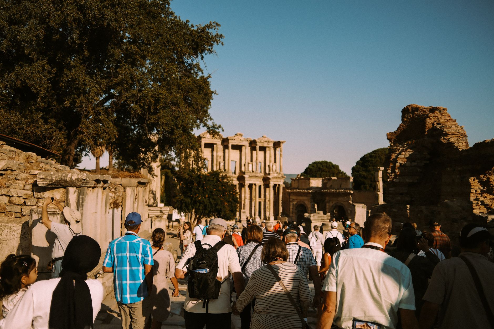
As a region, İzmir is both a gateway and a destination in its own right. Ephesus lies just to the south; the Aegean coast opens in either direction. But the city itself — its bazaar, its hilltop fortress, its tram lines hugging the shore — rewards the days you give it before moving on.
How Izmir came to be
Settlement here reaches back to the third millennium BCE, roughly contemporary with the earliest layers of Troy. The Greek city — founded by Aeolians, then taken by Ionians — rose to real prominence in the 7th century BCE, with two-storied houses and heavy fortifications, before Lydian king Alyattes captured and effectively erased it around 600 BCE. The city lay dormant for three centuries until it was refounded in the Hellenistic period, later passing to the Pergamon Empire in 197 BCE and then to Rome, which turned it into a major harbour and trade centre.
Byzantium inherited the city in 324 CE, and the Ottoman centuries layered mosques, bazaars and the 1901 Clock Tower onto the older fabric. On 9 September 1922, Mustafa Kemal Atatürk's forces ended the Greek occupation, a date the city still marks each year.
Who and what shaped it
People who shaped it
Landmark buildings
See Izmir in motion
Plan your visit
On the map
When to go
Summers are hot and dry — July and August regularly exceed 35°C on the coast. Spring (April–May) and autumn (September–October) bring mild temperatures and clear skies, making them the most practical windows for exploring on foot. Winters are mild by Turkish standards but can be wet.
Right now
Background & history adapted from Wikipedia (CC BY-SA) · specs from Wikidata (CC0) · weather from Open-Meteo · map data © OpenStreetMap contributors · photos from Wikimedia Commons / Unsplash with per-image credit. No third-party reviews or social posts reproduced.