
Interlaken
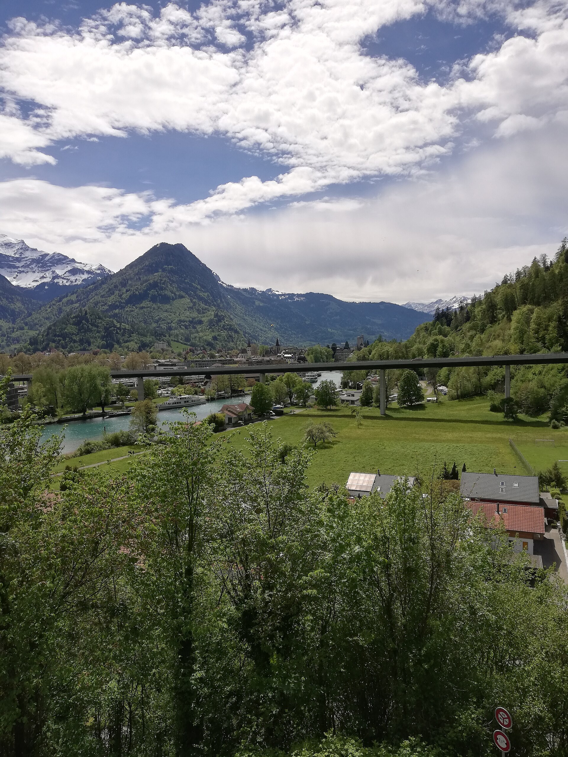
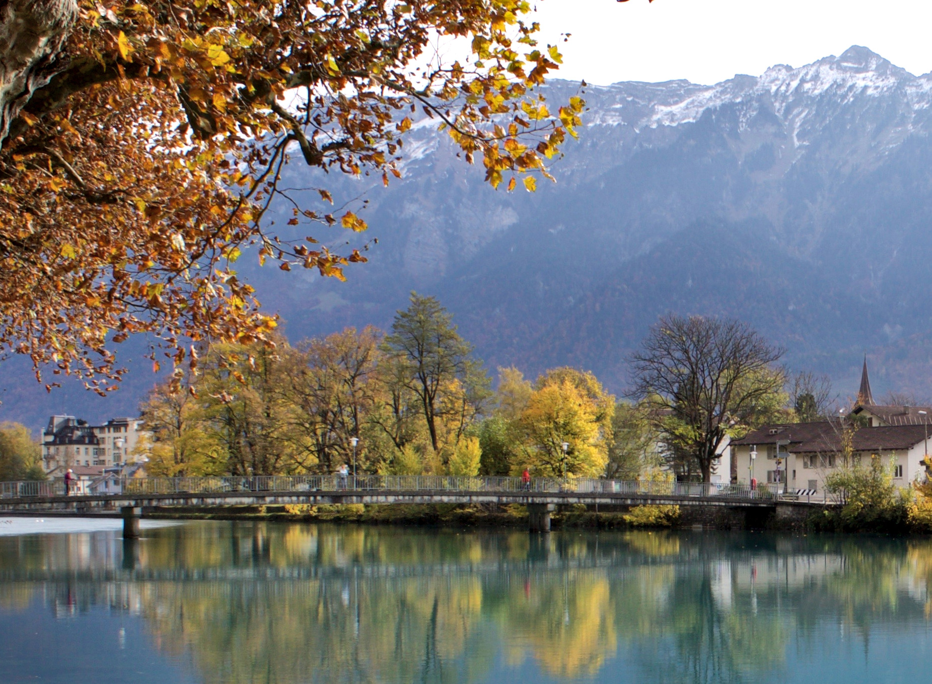
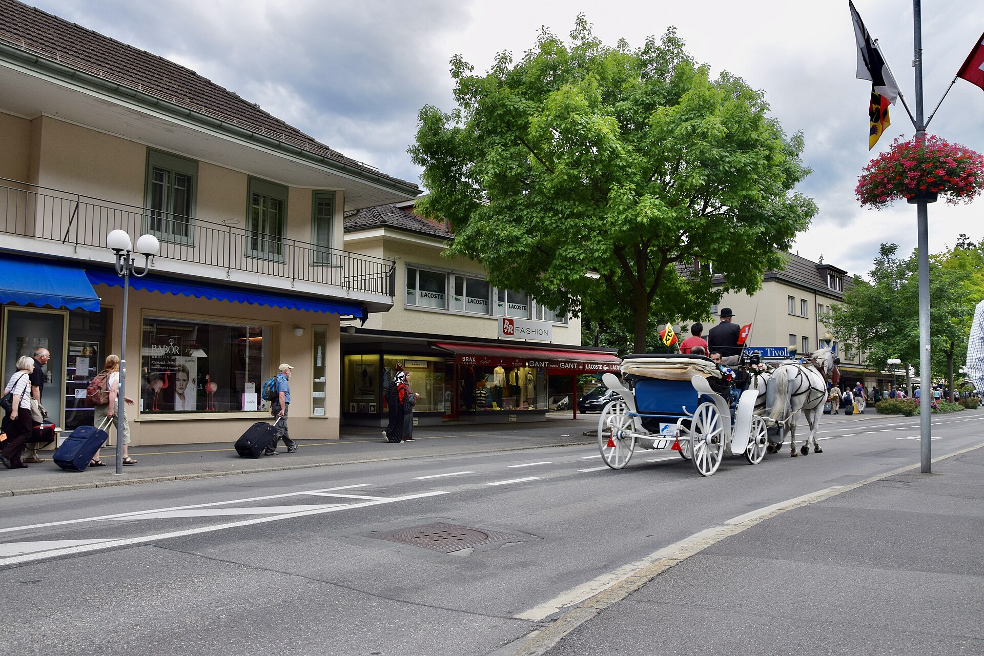
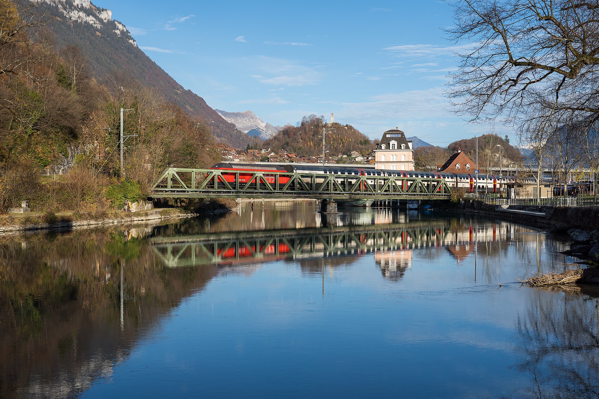
Interlaken sits on a narrow strip of land between two lakes — Thun to the west, Brienz to the east — with the Jungfrau massif filling the southern sky. The Höheweg, its long central promenade, frames that view so precisely it can feel staged, yet it never quite loses its hold on you. Paragliders drift down to land on the Höhematte park while trains pull in from Bern and Paris and Frankfurt, depositing travelers who've come to use this town as a base for one of the most accessible concentrations of Alpine terrain in Europe.
Interlaken itself is a gateway in the truest sense: two railway stations, lake boats, funiculars, and the Berner Oberland railway all converge here. You pass through it, but it rewards a slower look.
How Interlaken came to be
The name goes back to a medieval Augustinian priory documented in 1133 as 'inter lacus Madon' — between the lakes. The monks built their monastery along the Aare, and the Schlosskirche that stands on that site today began as their abbey church. The Reformation closed the monastery in 1528, and the complex passed into secular hands, eventually becoming a private castle.
For centuries the settlement remained a quiet dependency of the neighboring commune of Matten. It became its own commune in 1837 under the name Aarmühle — after the old monastery mill — and only took the name Interlaken in 1891, long after the mid-19th-century railway had already begun drawing visitors from across Europe. Goethe had come through in 1779; Byron in 1816. The railway simply made the trickle a flood.
Who and what shaped it
People who shaped it
Landmark buildings
See Interlaken in motion
Plan your visit
On the map
When to go
Summers are mild and well-suited to being outdoors, though afternoon thunderstorms roll through the valley regularly from June onward. Winter brings genuine cold — January highs barely reach freezing, with snow on the ground for much of the month — but the valley stays operational and the mountains above are at their most dramatic.
Right now
Background & history adapted from Wikipedia (CC BY-SA) · specs from Wikidata (CC0) · weather from Open-Meteo · map data © OpenStreetMap contributors · photos from Wikimedia Commons / Unsplash with per-image credit. No third-party reviews or social posts reproduced.