
Ilam District
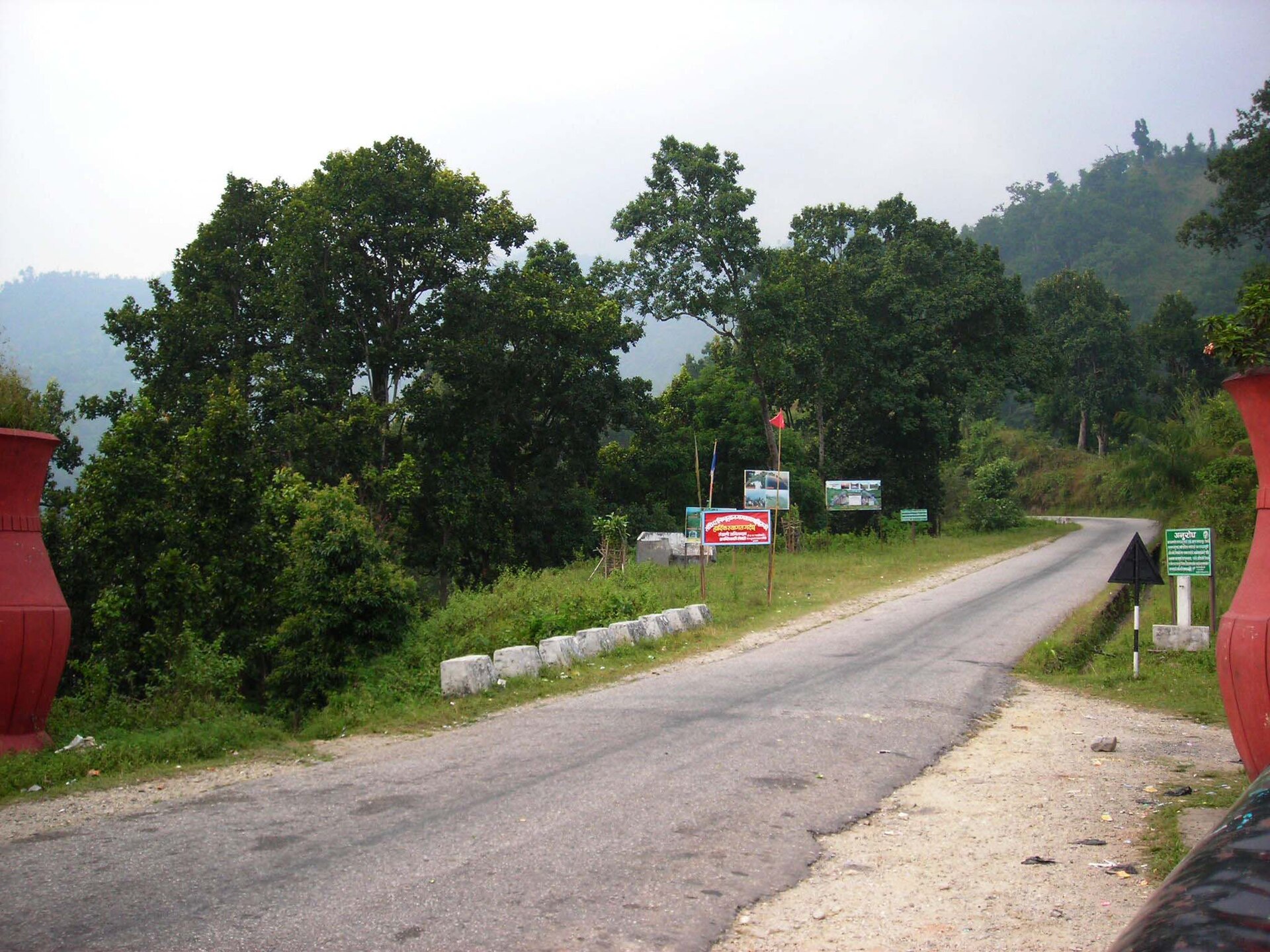
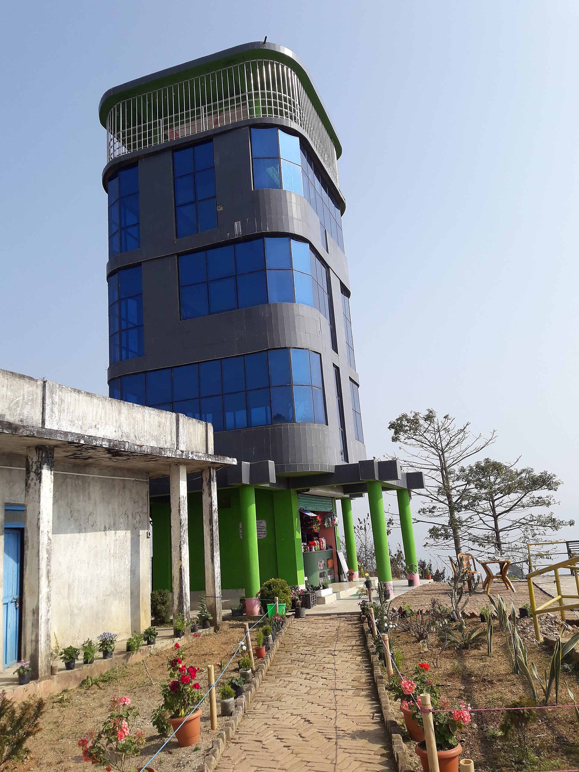
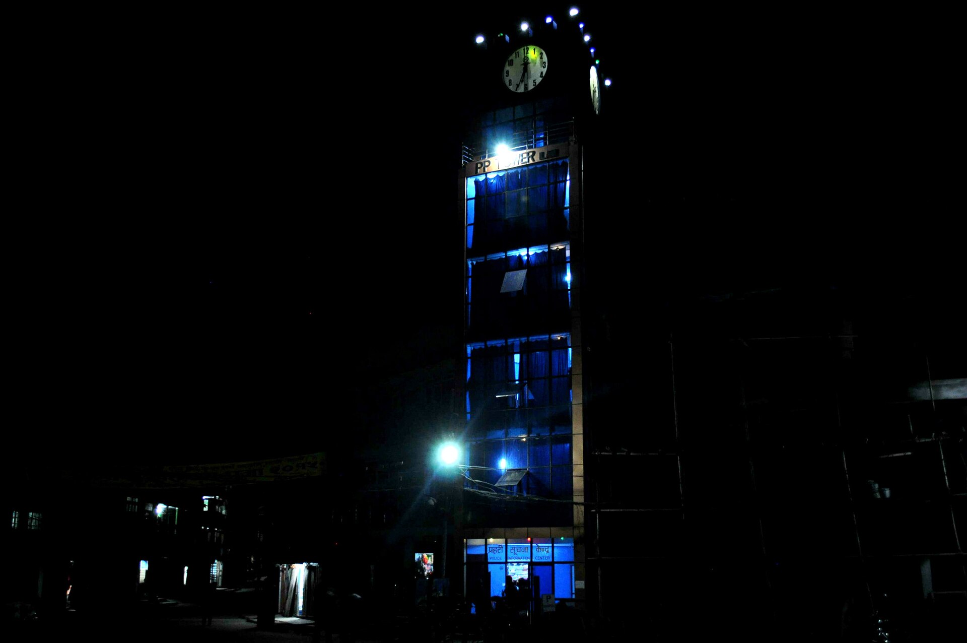
The road into Ilam District climbs through terraced tea gardens where the air carries a green, slightly astringent edge — the smell of Nepal's oldest organized plantation, running since 1863. At that altitude, somewhere above 1,000 metres in the far east of the country, the Himalayan horizon opens without warning: Kangchenjunga and, on a clear day, Everest itself, hanging above the ridgeline at Sandakpur or Antu Danda.
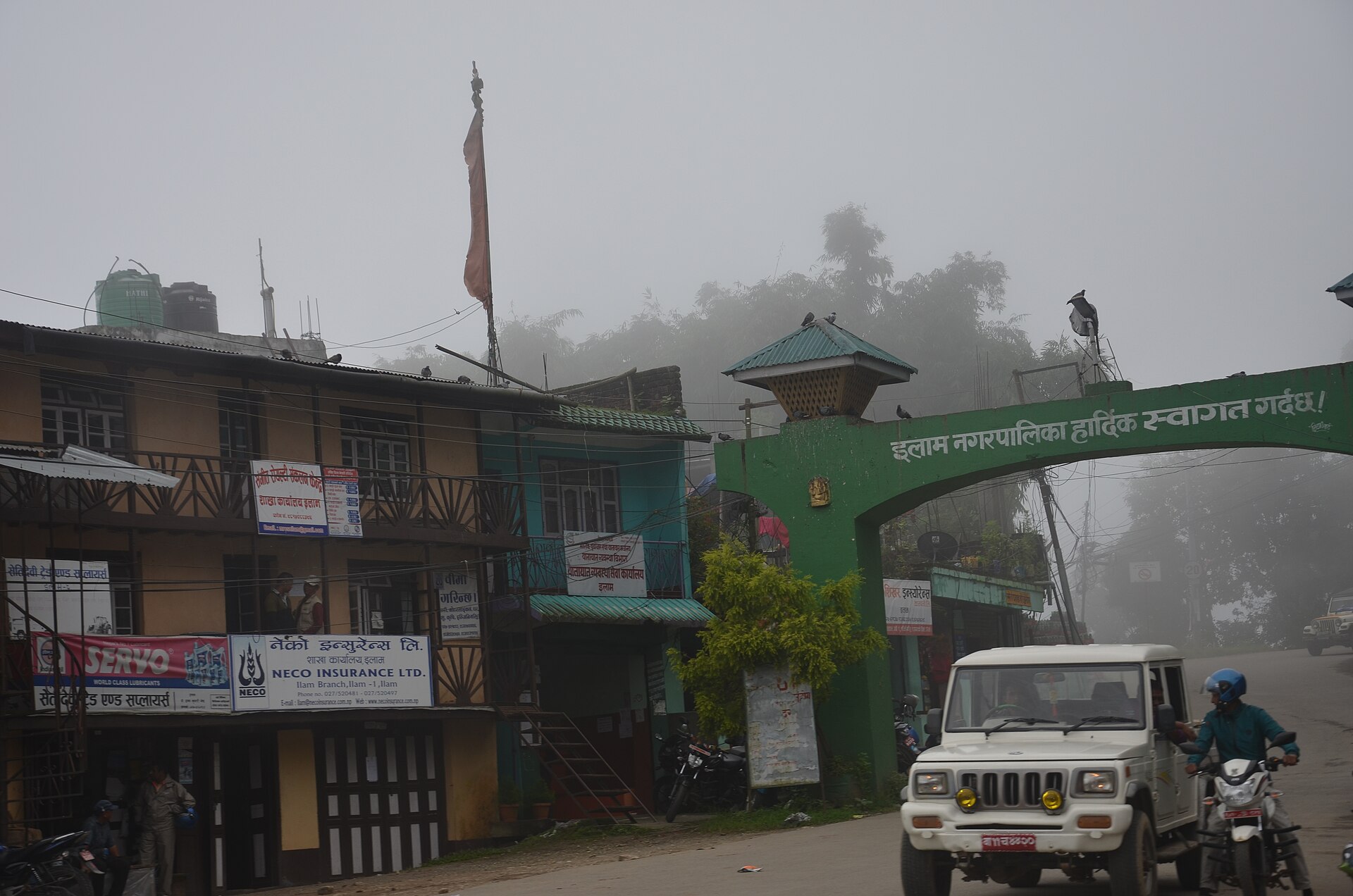
Ilam is Limbu country, a place shaped by the Kipat land system, by Chinese tea seeds, and by the kind of hill-town pace where mornings begin with mist and end with long views. The district headquarters, Ilam Bazaar, works well as a base: small enough to walk, connected enough to reach the lake, the falls, and the high viewpoints in a day or two.
💛 What travellers fall for
People who come back tend to time it for the tea flush — spring especially, when new growth makes the garden rows almost luminous. They mention Kanyam as worth the detour over Ilam Bazaar alone for the orthodox teas, and they note that Sandakpur requires a full commitment: two to three days on foot, or a bone-rattling jeep track, but the Himalayan panorama at the top is genuinely hard to argue with.
How Ilam District came to be
Before Nepal's unification, Ilam was one of ten self-ruling Limbu states in the region known as Limbuwan. Its name comes from the Limbu words for 'twisted road' — an apt description of the hill tracks that still define movement here. In 1774, the Nun-Pani Treaty brought the Limbu rulers into the Gorkha fold, preserving their Kipat communal land tenure in exchange for accepting suzerainty — an arrangement that shaped the district's social fabric for generations.
The modern character of Ilam arrived with tea. In 1863, seeds imported from China were planted on these slopes, establishing Nepal's first organised tea estate under British influence. The Rana regime's collapse in 1950 opened the door to private cultivation, and by the 1990s the district was producing over 20 million kilograms annually. The gardens and the Limbu hill culture sit side by side here, neither quite erasing the other.
Who and what shaped it
People who shaped it
Landmark buildings
See Ilam District in motion
Plan your visit
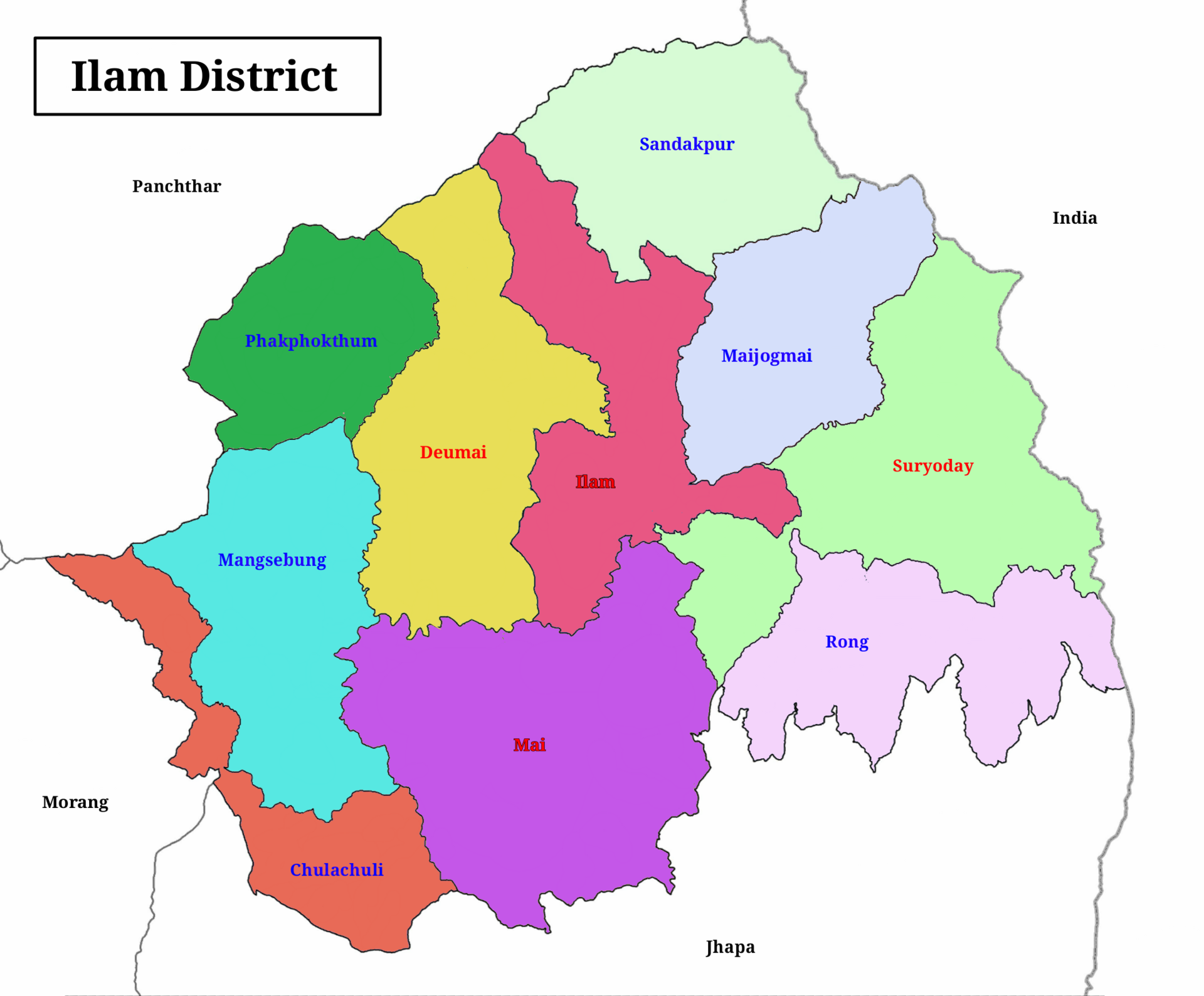
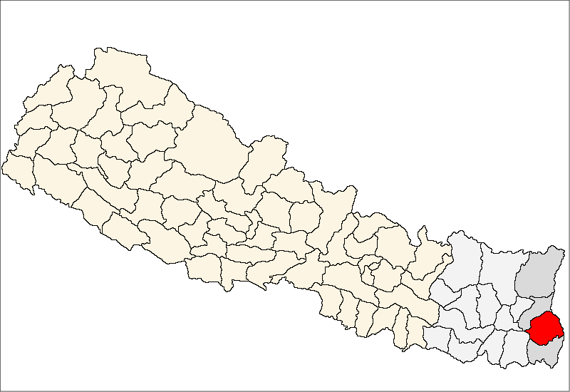
On the map
When to go
Ilam's subtropical elevation means comfortable temperatures through most of the year, but the monsoon — roughly June through September — brings persistent cloud, leeches on the trails, and road closures in the hills. October to December offers clear skies and sharp Himalayan views; February to April brings warmth and the spring tea flush.
Right now
Background & history adapted from Wikipedia (CC BY-SA) · specs from Wikidata (CC0) · weather from Open-Meteo · map data © OpenStreetMap contributors · photos from Wikimedia Commons / Unsplash with per-image credit. No third-party reviews or social posts reproduced.