
Iguazu Falls
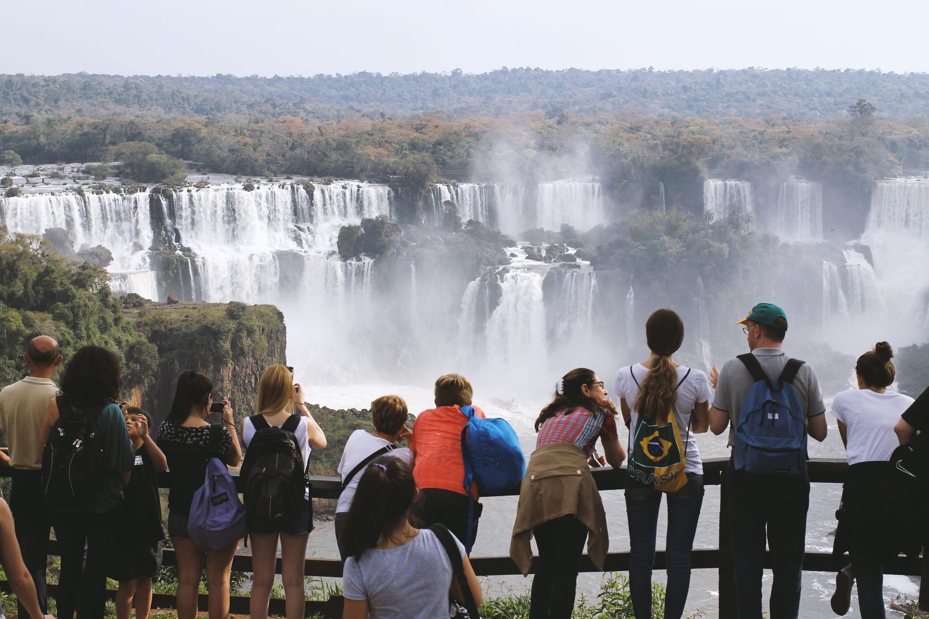
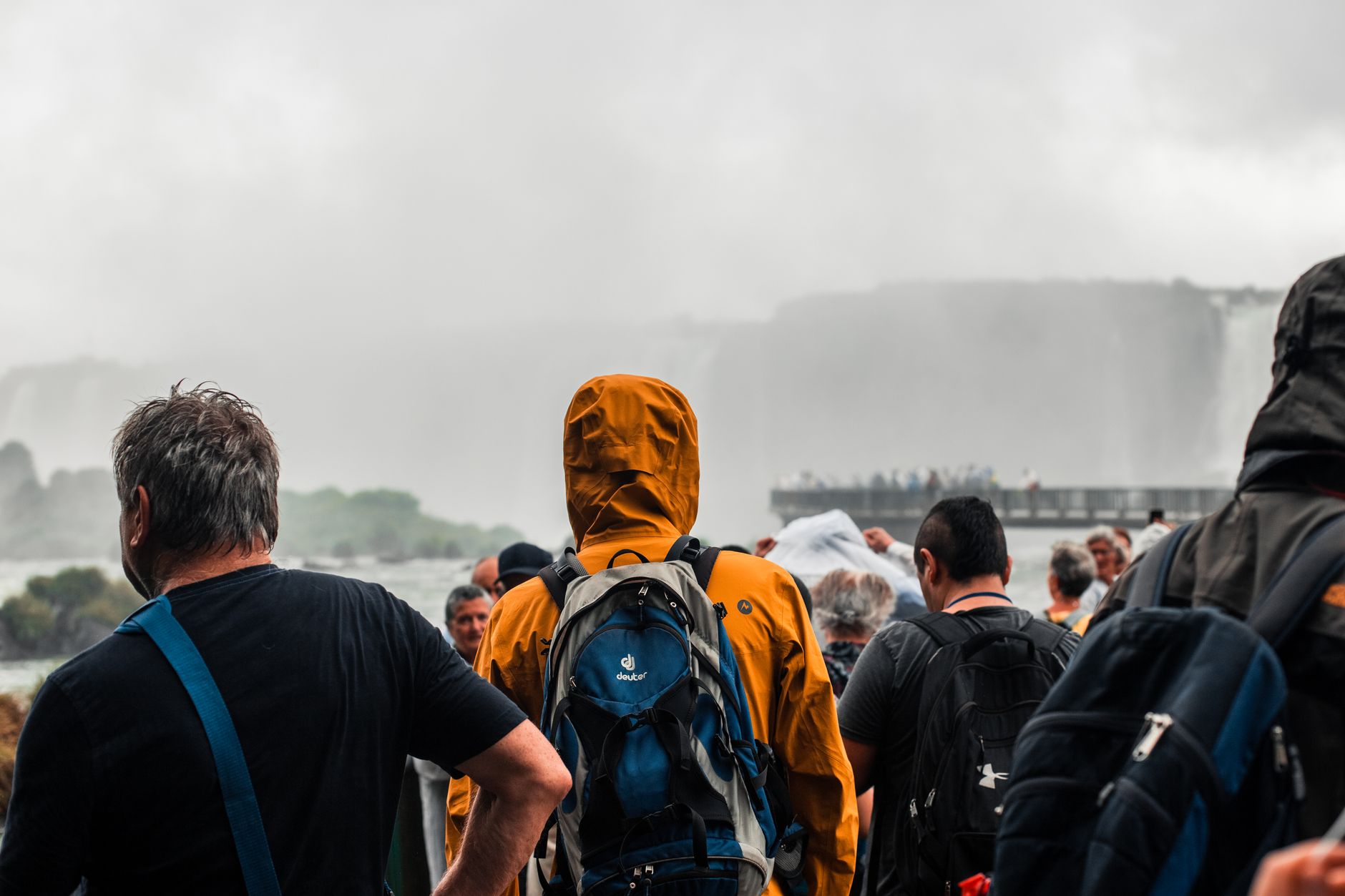
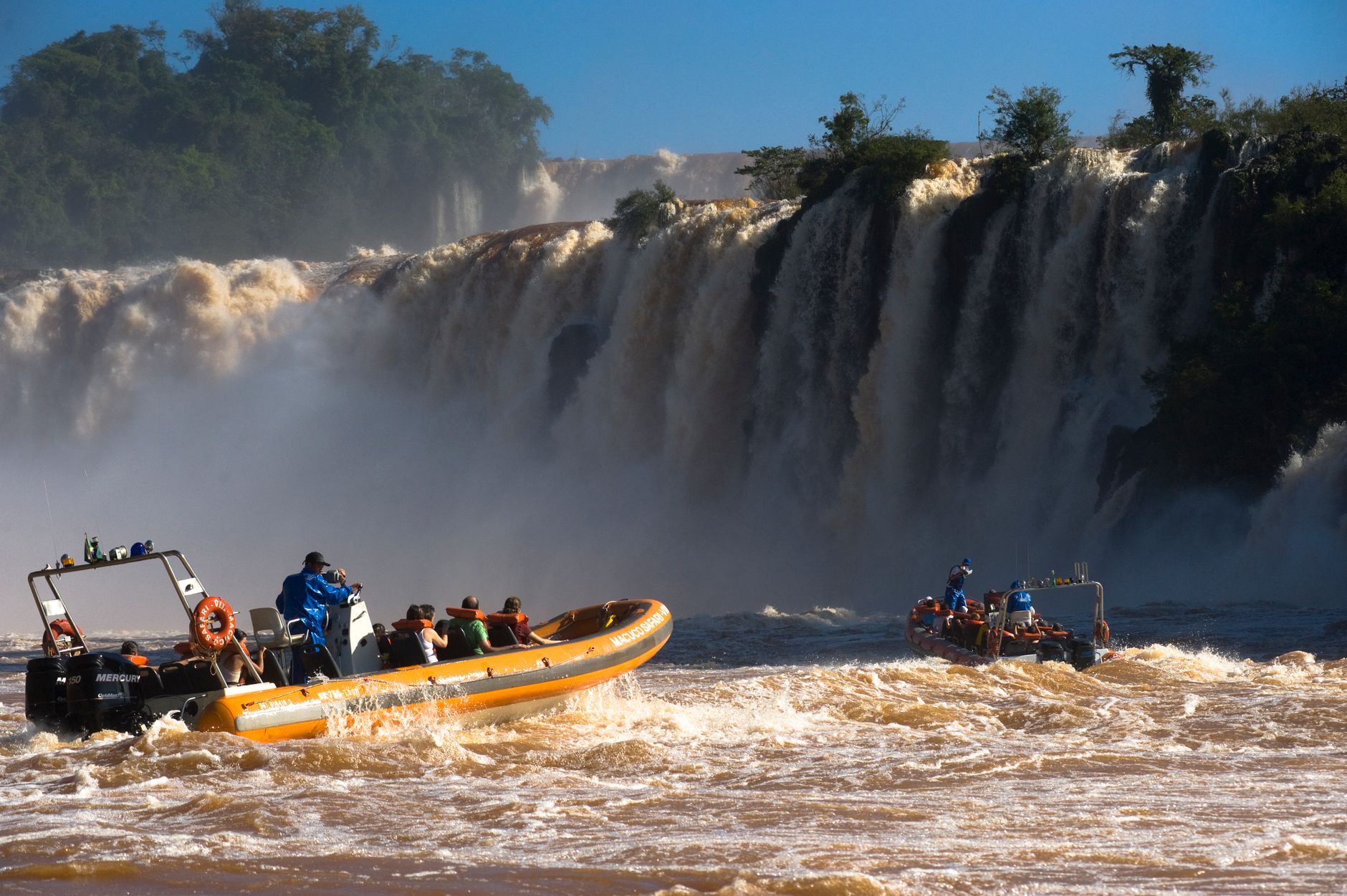
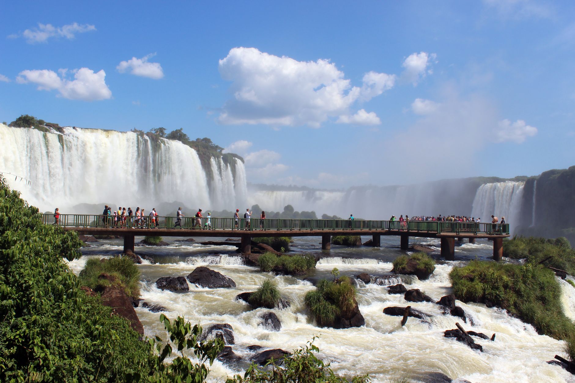
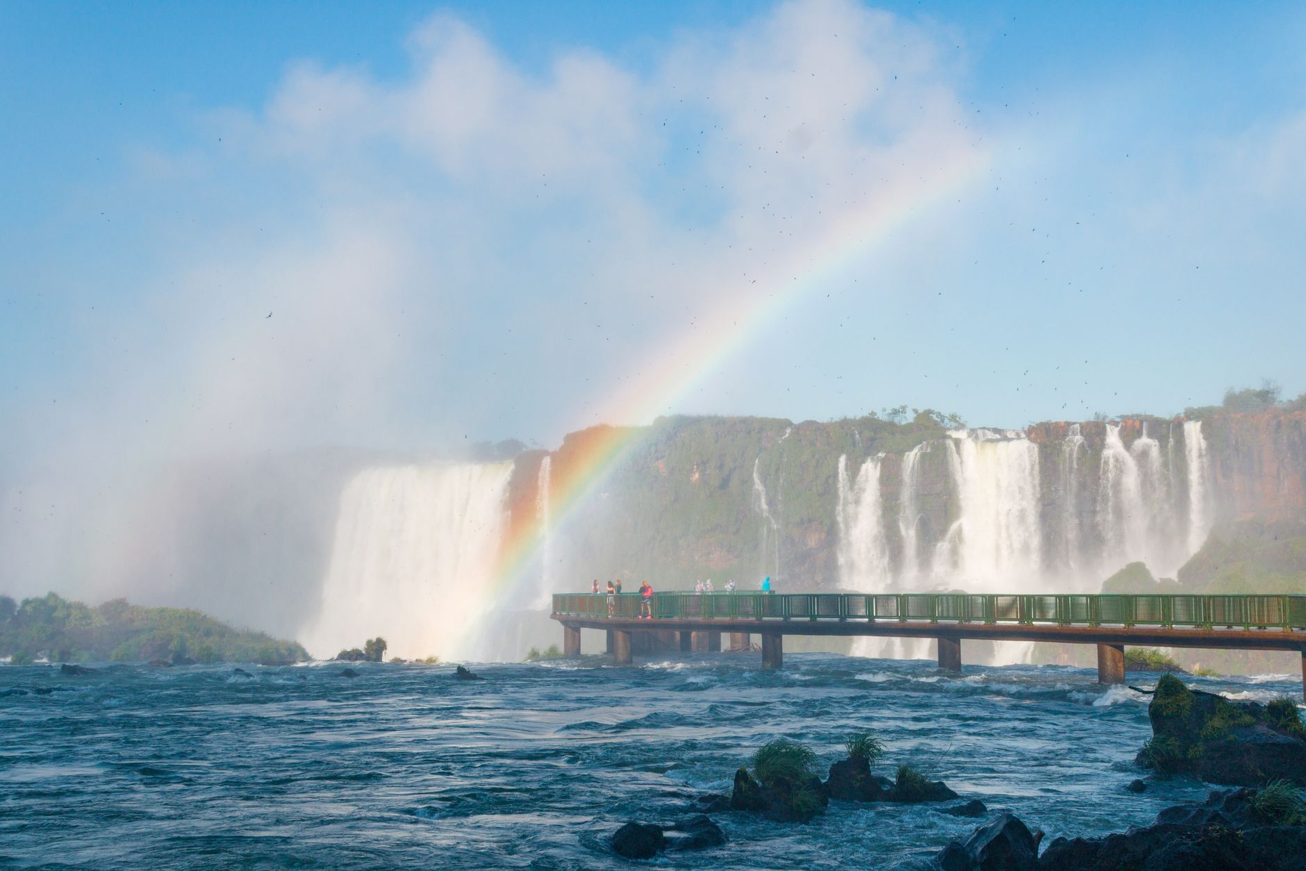

The Iguazu Falls are not one waterfall but 275 of them, spread across 2.7 kilometres of jungle escarpment straddling Argentina and Brazil. The scale takes a moment to register. At Devil's Throat — the U-shaped chasm where fourteen cataracts converge and drop 82 metres — the mist rises so thick it becomes its own weather system.
Both countries maintain separate national parks with separate entrances, and they reward different perspectives. The Argentine side pulls you close, threading you along walkways at the base and lip of the falls. The Brazilian side steps back and hands you the panorama — the full arc of the system in a single glance.
How Iguazu Falls came to be
The Guaraní people lived in this region for over 10,000 years before the Spanish conquistador Álvar Núñez Cabeza de Vaca became the first European to document the falls, in 1541. The Society of Jesus arrived in 1609, beginning evangelising work across the region, but after the Jesuits were expelled in 1768 the area receded from colonial attention for well over a century.
Argentina established Iguazú National Park in 1934 — its creation driven in part by landscape architect Carlos Thays, who arrived on a Ministry of the Interior mission to plan the first national park project. Brazil followed with Iguaçu National Park in 1939. UNESCO declared both parks World Heritage Sites in 1984. The falls themselves are older than any of this: they formed roughly 200,000 years ago, when a basalt layer left by volcanic eruption held firm while the Iguazu River carved through softer rock beneath it.
Who and what shaped it
People who shaped it
Landmark buildings
See Iguazu Falls in motion
Plan your visit
On the map
When to go
The climate is warm and humid year-round, with temperatures ranging from around 22°C to 32°C; summer (December–February) brings the heaviest rainfall and the most powerful water flow, while winter (June–August) offers clearer skies and cooler mornings that can dip below 10°C. August to October sees the lowest flow, which makes the rock formations more visible but the falls less thunderous.
Right now
Background & history adapted from Wikipedia (CC BY-SA) · specs from Wikidata (CC0) · weather from Open-Meteo · map data © OpenStreetMap contributors · photos from Wikimedia Commons / Unsplash with per-image credit. No third-party reviews or social posts reproduced.