
Hurghada
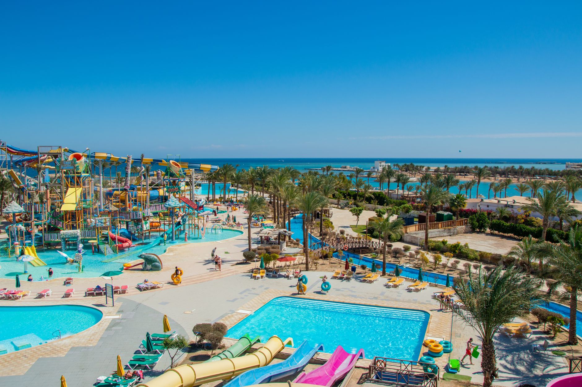

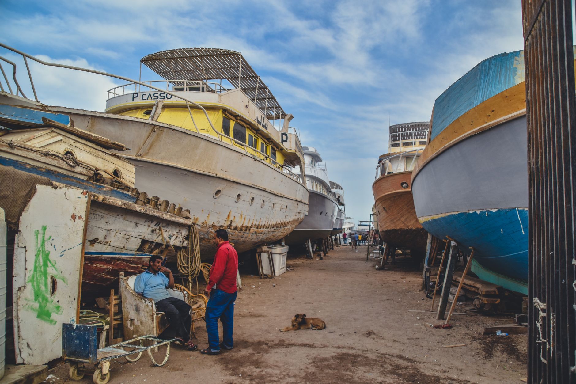
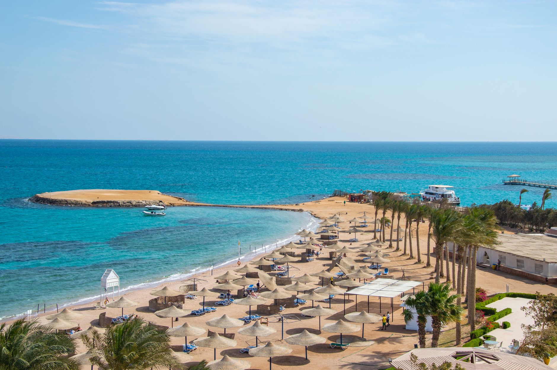
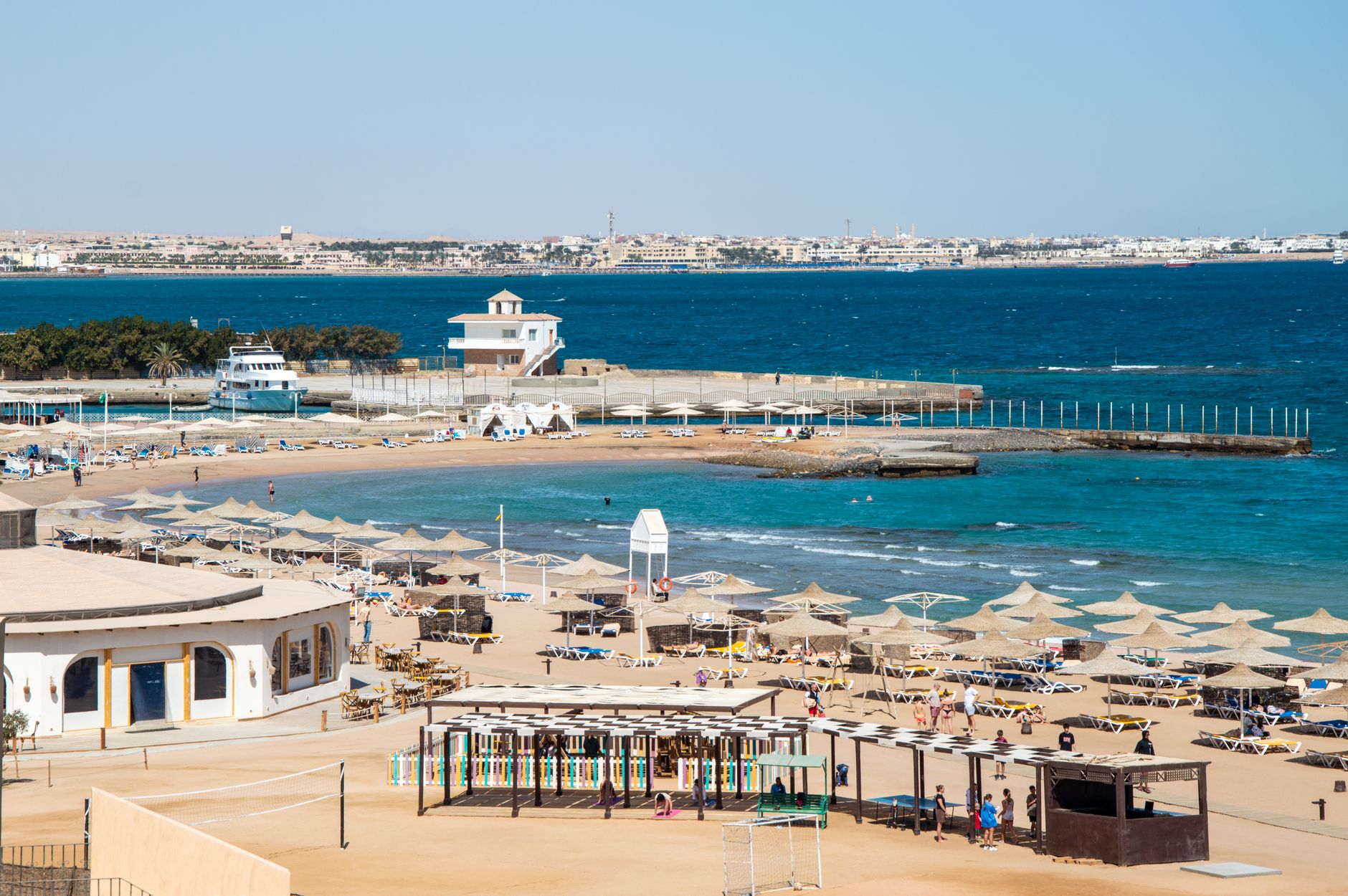
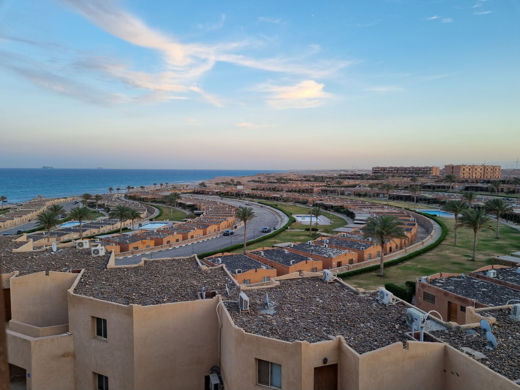
Hurghada exists in two registers at once: the resort strip along the Red Sea coast, where dive boats leave before dawn and the water runs a particular shade of blue-green that photographs never quite capture, and El Dahar, the original town to the north, where microbuses squeeze through narrow streets and the Al Mina Mosque's twin 40-metre minarets mark the skyline. Most visitors come for the reef — and the reef delivers — but the town has its own texture worth a few hours of your time.
The sea here averages 25°C year-round, and visibility in the water can stretch to 30 metres on a calm morning. That combination has turned a small fishing harbour into Egypt's second-busiest airport and a coastline of almost continuous development stretching south toward Makadi Bay.
How Hurghada came to be
In 1905, Ababda fishermen settled a natural harbour on this stretch of the Egyptian Red Sea coast, founding what would become Hurghada. The discovery of oil in 1913 by Anglo-Egyptian Oilfields Ltd changed the settlement's character almost immediately; commercial production began in 1921, and the town grew around extraction rather than tourism.
During King Farouk's reign in the late 1930s and 1940s, the infrastructure shifted again — villas, hotels, a casino, a golf course, and an airport were built, and a Royal Rest House went up that still stands today. Large-scale resort development followed in the 1980s, reshaping the coastline into what it is now. Older still, 20 km north, the ruins of Abu Sha'ar mark a Roman military fort established around 309–311 AD, later converted into a Christian community by the 5th century.
Who and what shaped it
People who shaped it
Landmark buildings
See Hurghada in motion
Plan your visit
On the map
When to go
Winters are warm and dry — January averages around 17°C at night and 22°C by day, with over 320 sunny days a year and almost no rain. Summers are extreme: June through September sees daytime highs between 34°C and 36°C, with occasional spikes well above 40°C, though the sea stays reliably swimmable at 29°C in August.
Right now
Background & history adapted from Wikipedia (CC BY-SA) · specs from Wikidata (CC0) · weather from Open-Meteo · map data © OpenStreetMap contributors · photos from Wikimedia Commons / Unsplash with per-image credit. No third-party reviews or social posts reproduced.