
Hokkaido
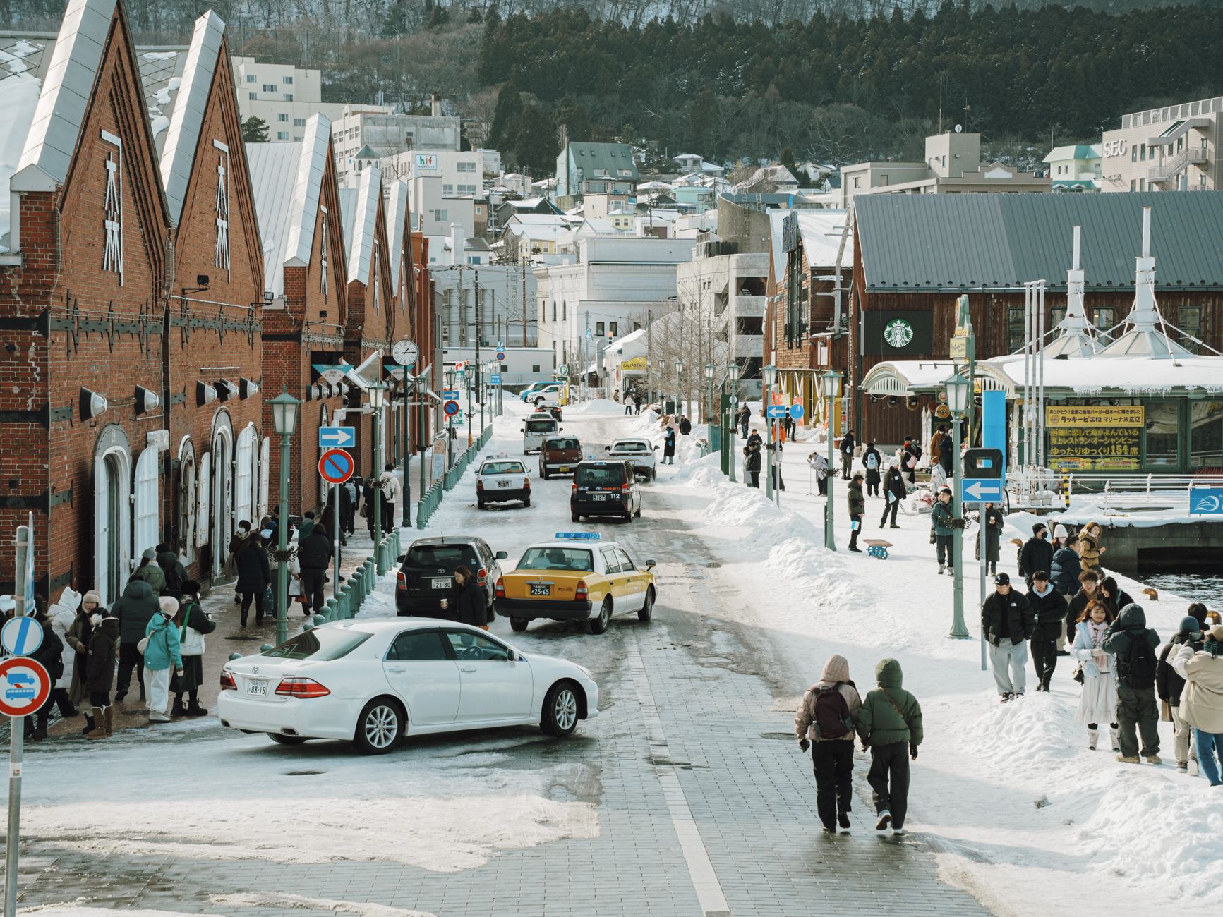
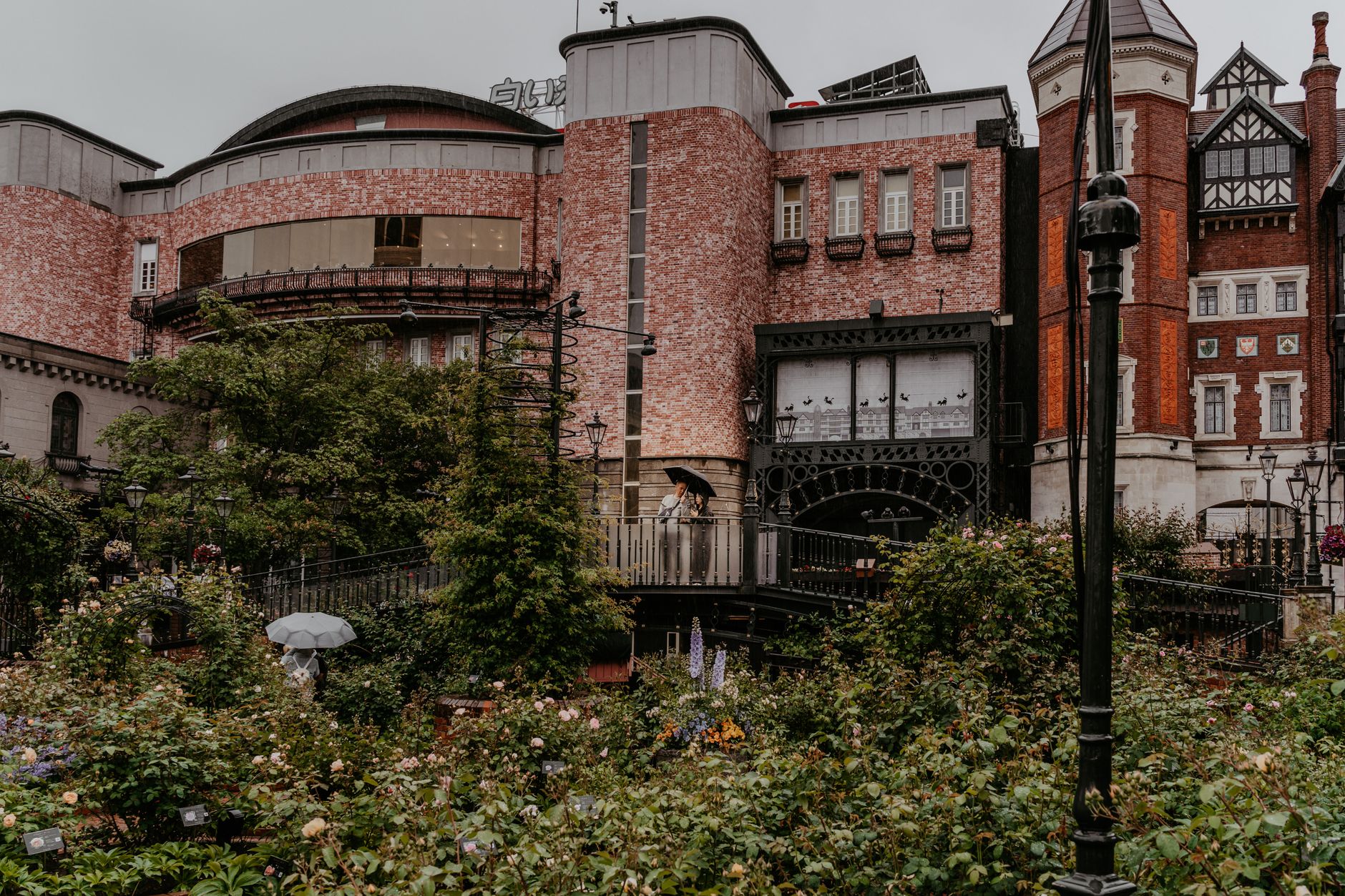
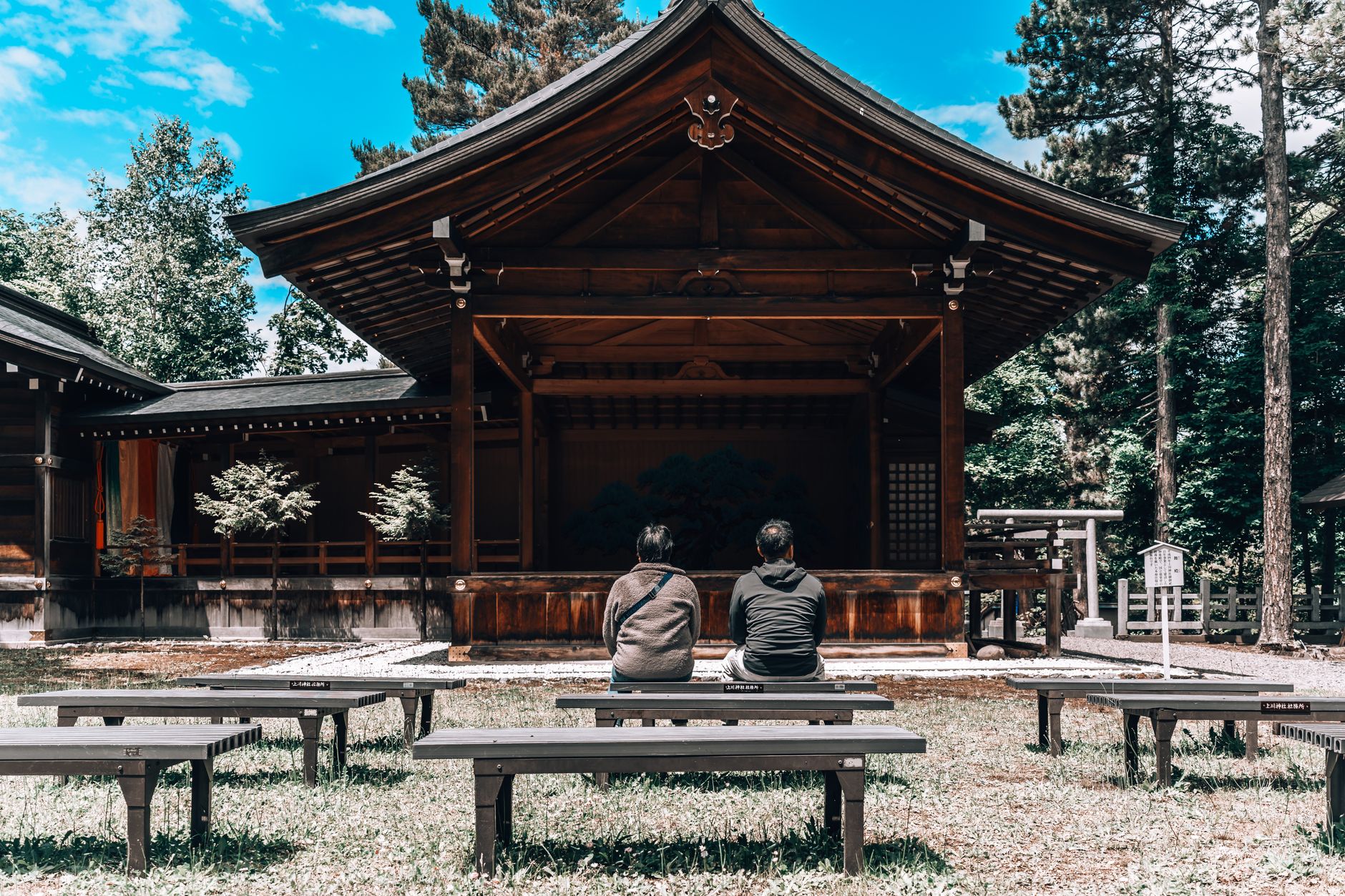
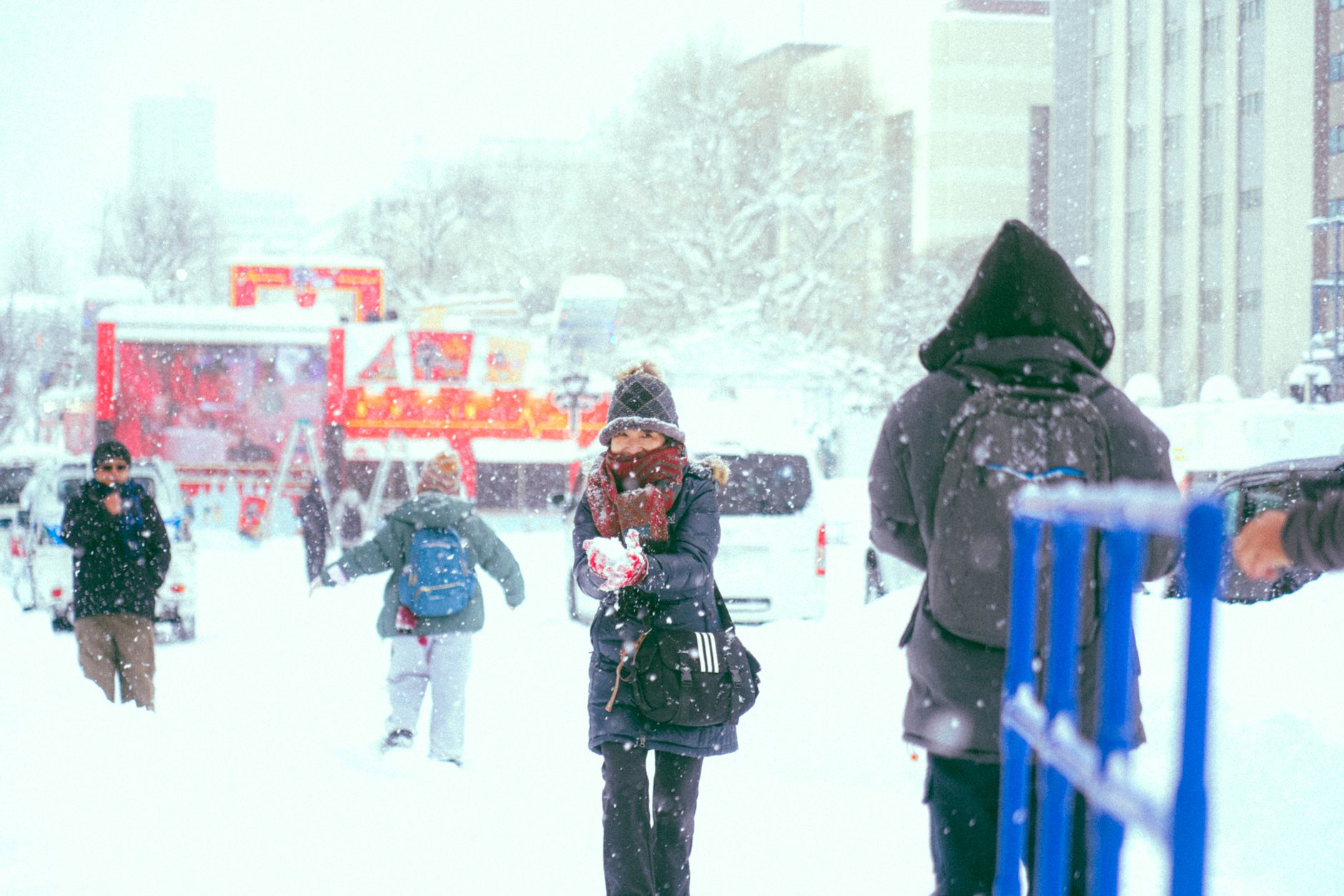
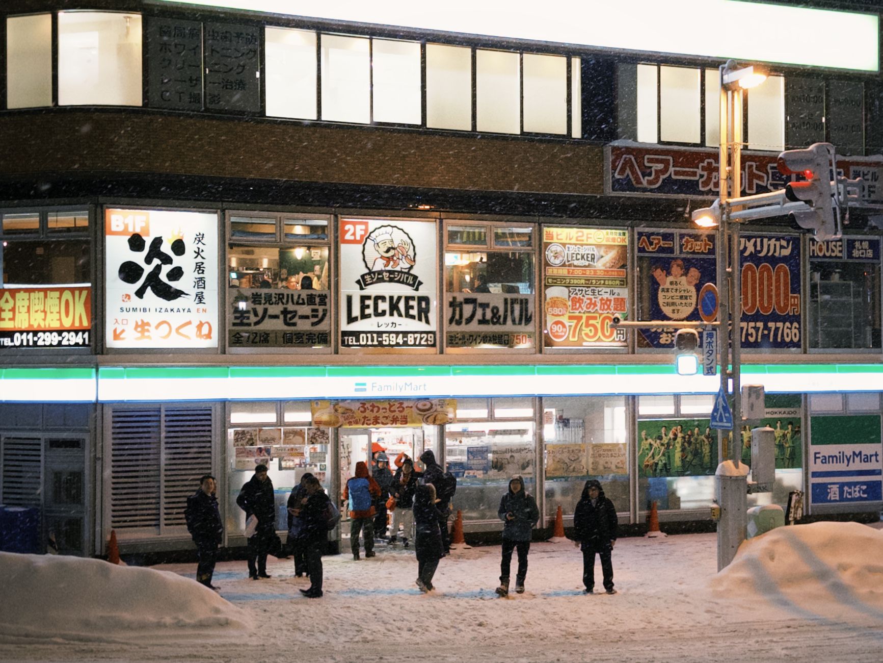
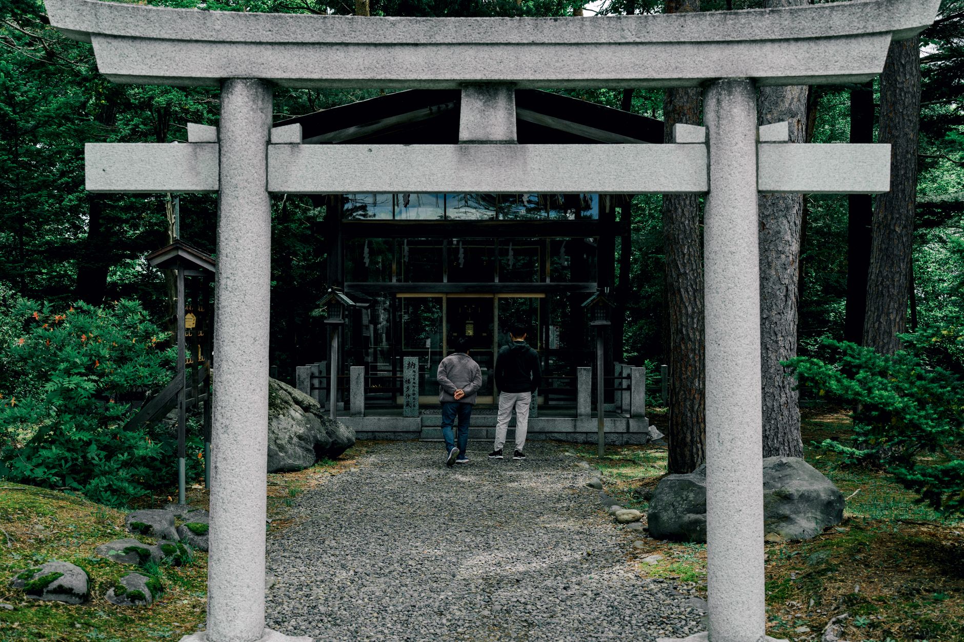
Japan's northernmost island runs on different logic from the rest of the country. The cities are wider, the winters harder, the summers short enough that locals treat every warm week as something to be used. Sapporo, the regional capital, sits on a grid laid out by American agricultural advisors in the 1870s — a fact you can still read in the streets.
Hokkaido covers roughly 22 percent of Japan's total land area but holds less than five percent of its population. That ratio explains a lot: the scale of the national parks, the unhurried quality of the dairy farms, the way a drive east from Sapporo can take you somewhere that feels genuinely remote.
💛 What travellers fall for
People who come back tend to time a return around the seasons — once for the powder snow that drew the 1972 Winter Olympics to Sapporo, once for May's late cherry blossoms, once for the lavender fields of Furano in July. The Otaru Canal at dusk, a bowl of miso ramen in the cold: these are the specifics that accumulate.
How Hokkaido came to be
For most of recorded Japanese history, Hokkaido — then called Ezo — sat at the edge of the known world, inhabited primarily by the Ainu people. The Nihon Shoki, completed in 720, contains what is often cited as the first written reference to the island. Formal incorporation came much later: in 1869, the Meiji government renamed the territory Hokkaido and established a Colonization Board to develop it.
The transformation was rapid and largely modelled on the American frontier. Kuroda Kiyotaka recruited Horace Capron, President Grant's Commissioner of Agriculture, to advise on settlement. In 1876, the American educator William S. Clark arrived to found what would become Hokkaido University, staying only a year but leaving behind the phrase 'Boys, be ambitious' — still stencilled on public buildings today. Within a decade of formal settlement, the island's population had grown from 58,000 to 240,000.
Who and what shaped it
People who shaped it
Landmark buildings
See Hokkaido in motion
Plan your visit
On the map
When to go
Winter (December–February) means serious cold — inland temperatures regularly drop to –20°C, and the Sea of Japan side receives heavy snow, while the Pacific coast stays drier and sunnier. Summer is short and mild, with July and August the warmest months; spring cherry blossoms don't arrive until May, running several weeks behind the rest of Japan.
Right now
Background & history adapted from Wikipedia (CC BY-SA) · specs from Wikidata (CC0) · weather from Open-Meteo · map data © OpenStreetMap contributors · photos from Wikimedia Commons / Unsplash with per-image credit. No third-party reviews or social posts reproduced.