
Hoi An
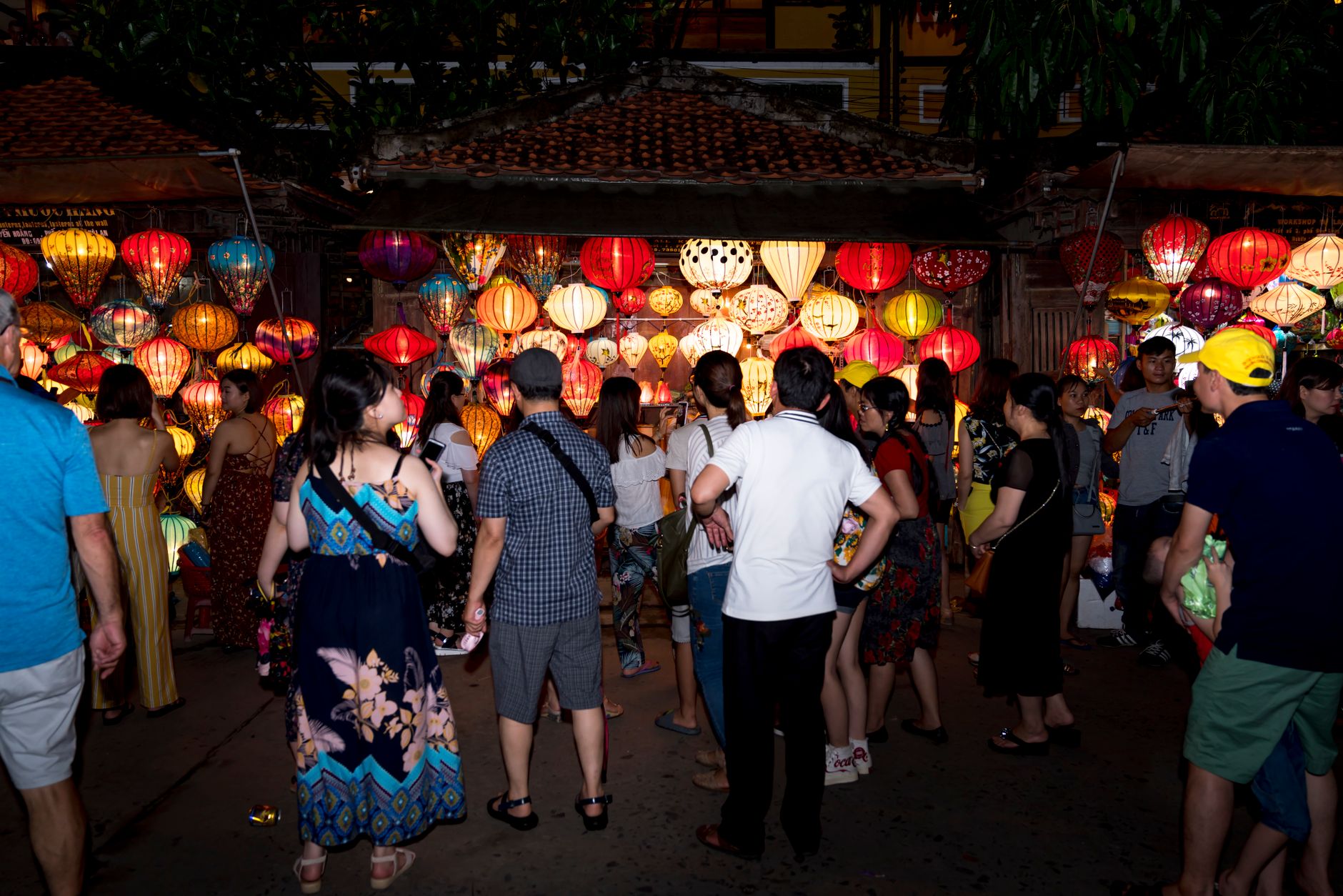

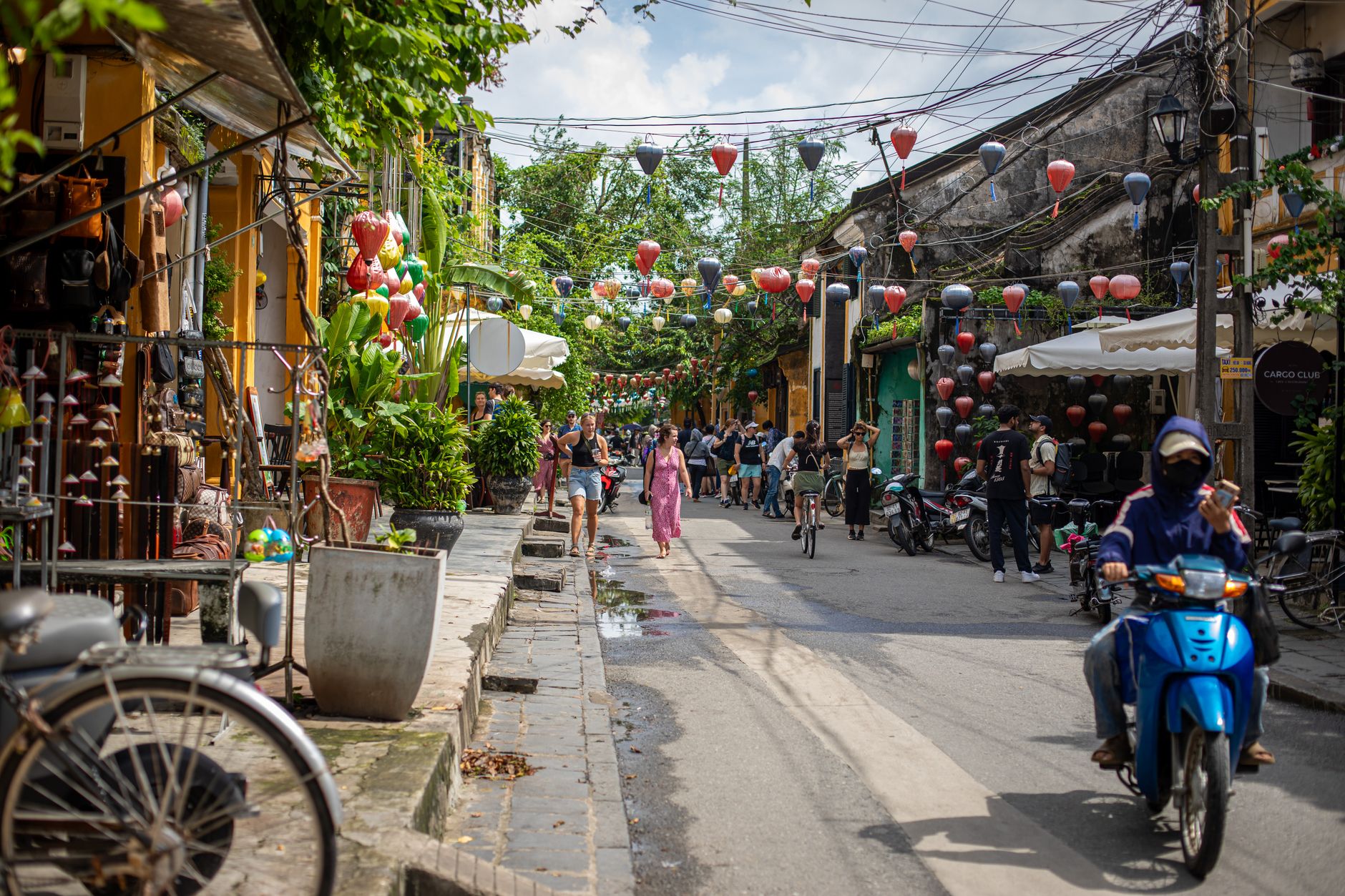
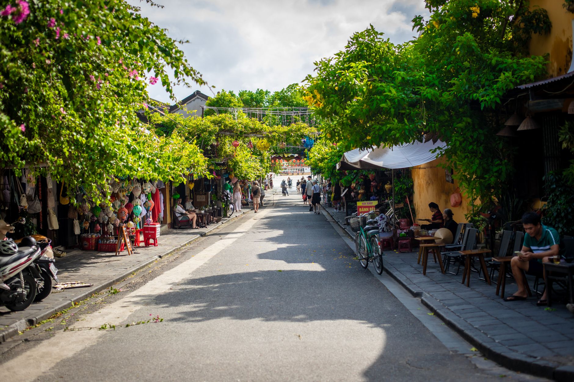
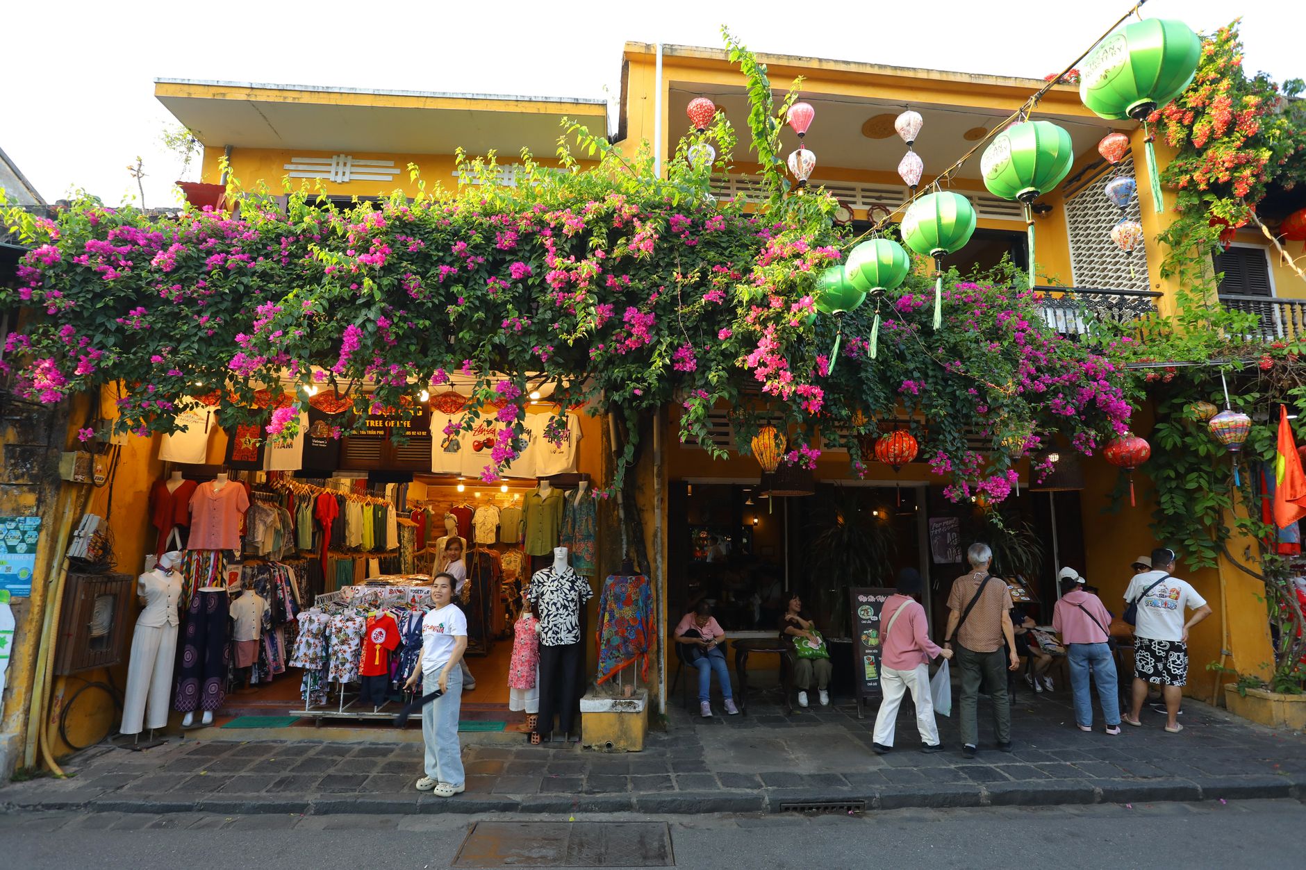
Hoi An is a port town that time treated gently. The Thu Bon River still bends past the same timber-framed shophouses it did when Japanese and Chinese merchants unloaded cargo here in the 1600s — 1,107 of those buildings survive, and the whole dense grid of them is now a UNESCO World Heritage Site. The name itself, in Sino-Vietnamese, means 'peaceful meeting place.'
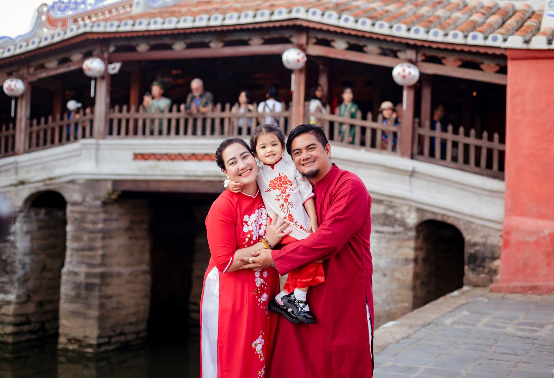
Every day the Old Town goes car-free, so you move through it on foot, past yellow-walled assembly halls and incense smoke drifting out of temple doorways. The Japanese Covered Bridge — built by Japanese merchants in the early 1600s, its image printed on the 20,000 VND note — is the town's most photographed landmark, and still worth the walk.
💛 What travellers fall for
Return visitors tend to buy the 120,000 VND ticket, pick their five heritage sites deliberately, and save Tan Ky Ancient House for late afternoon when the crowds thin. The house has been in the same family since 1714 — descendants still live upstairs — and the light through the central courtyard is different at 4 PM than it is at noon.
How Hoi An came to be
Human settlement around the Thu Bon estuary goes back roughly 2,200 years, but the town as it stands took shape in the second half of the 16th century. After 1570, the Nguyen lord Nguyen Hoang took governance of Quang Nam and, with his son Nguyen Phuc Nguyen, built fortifications and opened the port to international trade. The name Hoi An appears in records from the late 1500s to early 1600s. By the late 17th century, Chinese and Japanese merchant communities had settled here, building assembly halls and temples — Phuc Kien Assembly Hall dates to 1697, Quan Cong Temple to 1653.
The Japanese Covered Bridge went up in the early 1600s, roughly forty years before Japan's sakoku policy forced its builders home. Hoi An's trading dominance faded in the 19th century as steamships made Da Nang the region's commercial hub. The town's relative decline is, in a way, what preserved it — Vietnam designated it a National Historical and Cultural Monument in 1985, and UNESCO followed in 1999.
Who and what shaped it
People who shaped it
Landmark buildings
See Hoi An in motion
Plan your visit
On the map
When to go
The dry season from February to May brings mild temperatures, low humidity and the best conditions for walking the Old Town at length. October is the wettest month by a wide margin — around 526 mm of rain — and the rainy season runs from August through December, with October floods occasionally reaching the streets of the ancient core.
Right now
Background & history adapted from Wikipedia (CC BY-SA) · specs from Wikidata (CC0) · weather from Open-Meteo · map data © OpenStreetMap contributors · photos from Wikimedia Commons / Unsplash with per-image credit. No third-party reviews or social posts reproduced.