
Hoa Lu
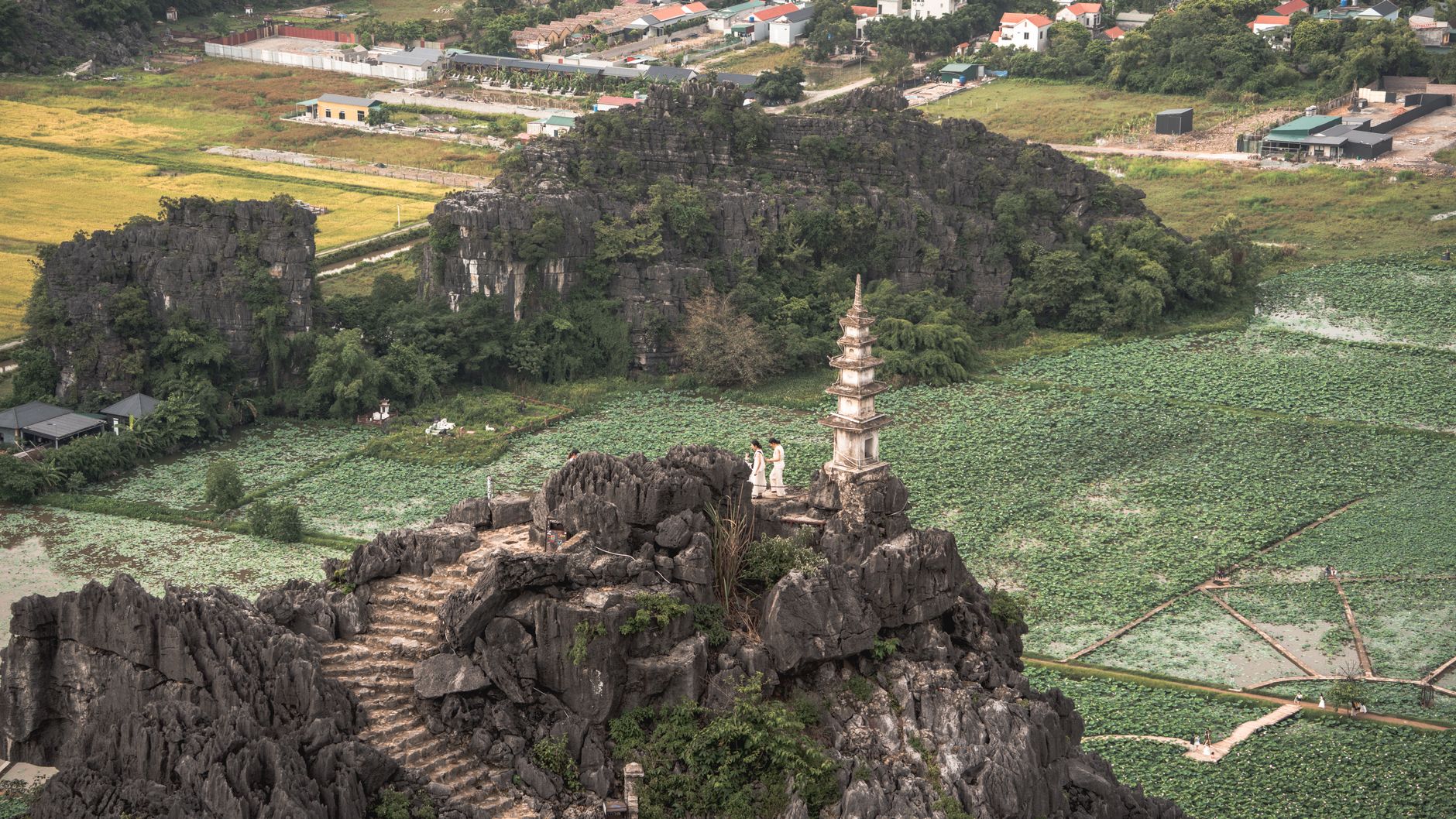
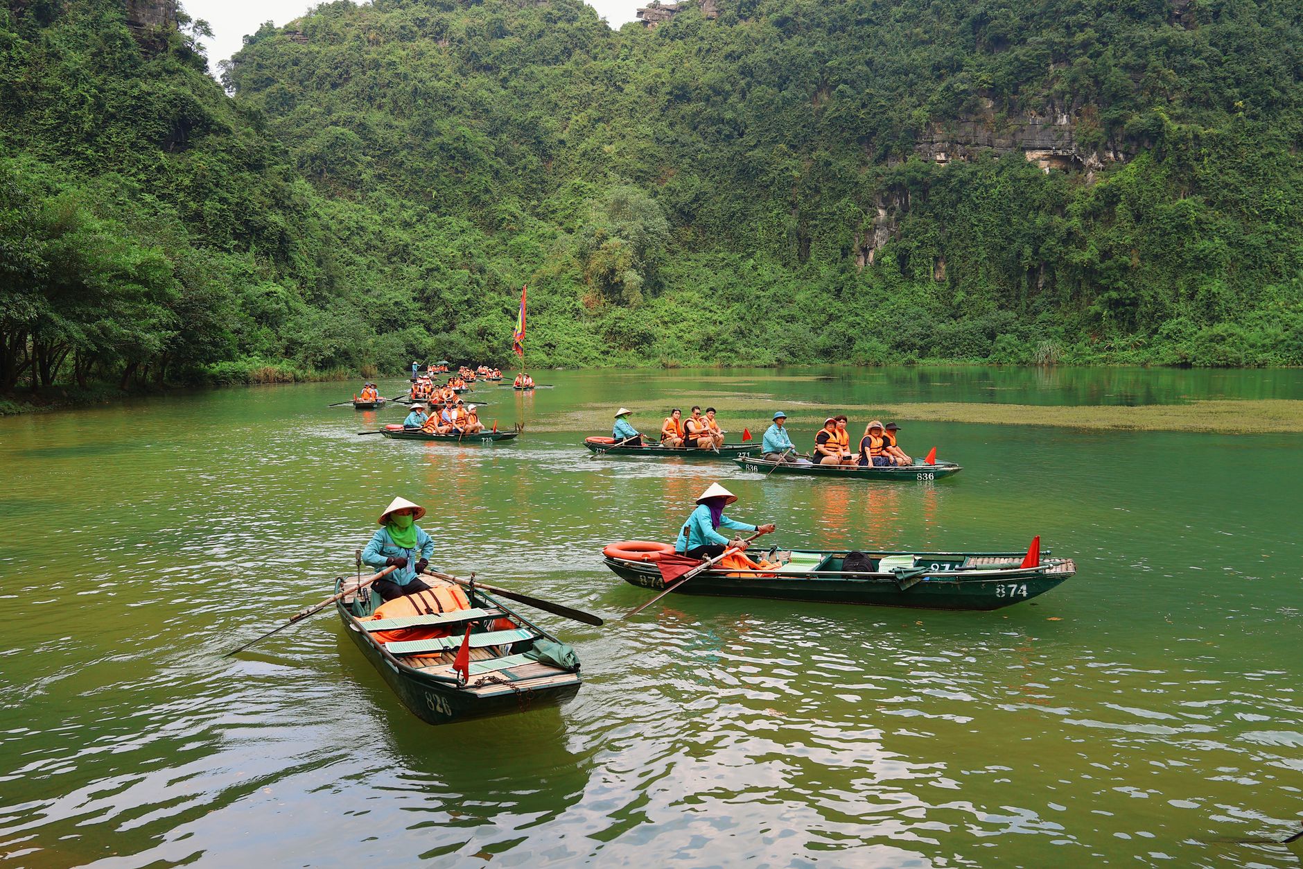
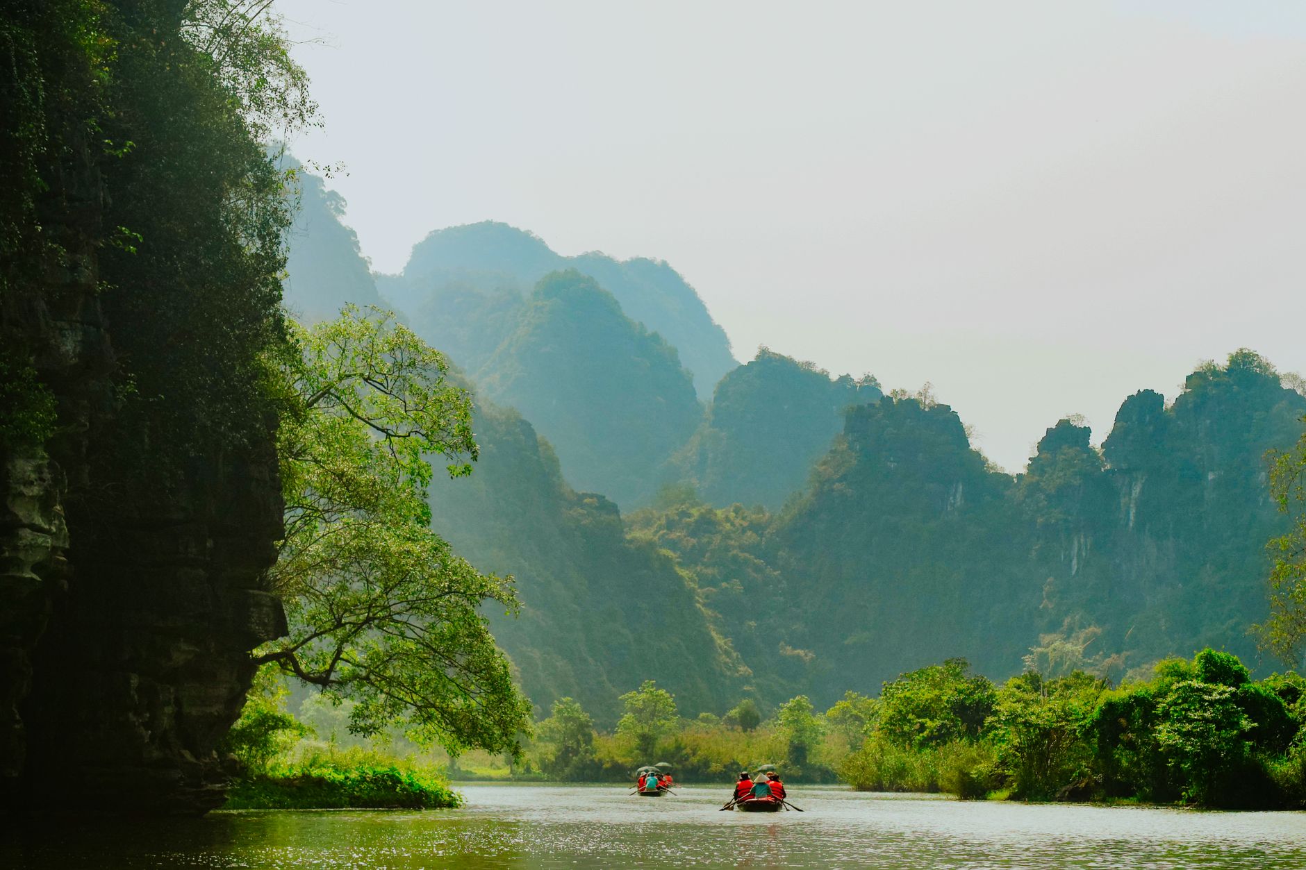


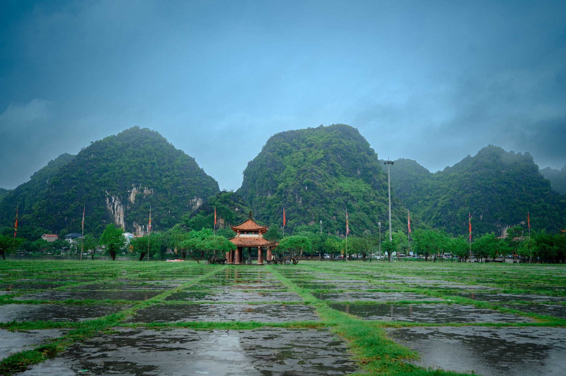
Before Hanoi, there was Hoa Lu. Tucked into Ninh Binh Province about 90 kilometres south of the capital, this limestone valley served as Vietnam's imperial seat for roughly forty years — a short reign by any measure, but a foundational one. The temples that stand here today were built in the 17th century on the ground where two dynasties rose and fell, and Ma Yen Mountain still looms over the complex as it did when the first emperor was buried in its slopes.
The ancient citadel once covered 300 hectares of inner and outer citadel walls. What remains is quieter and more intimate than the scale of that history suggests — a pair of temple complexes, a 10th-century pagoda, a cave that served as both royal retreat and prison, and the particular stillness that comes with limestone karst pressing in on all sides.
How Hoa Lu came to be
In 968, a warlord named Đinh Bộ Lĩnh ended a decade of civil conflict by defeating twelve rival lords and founding Vietnam's first imperial dynasty. He chose this valley — walled on three sides by karst cliffs — as his capital, naming it Hoa Lu. It was a defensible choice as much as a symbolic one: the natural geography did the work that walls could not.
His reign ended with assassination in 979. His six-year-old son briefly took the throne before the regent Lê Hoàn declared himself emperor, founding the Early Lê Dynasty and, in 982, repelling two Chinese armies to preserve the country's independence. The capital remained at Hoa Lu until 1010, when Lý Công Uẩn moved it north to Thăng Long — what is now Hanoi — and Hoa Lu settled into the slower life of an ancient capital, remembered rather than inhabited.
Who and what shaped it
People who shaped it
Landmark buildings
See Hoa Lu in motion
Plan your visit
On the map
When to go
The driest and most comfortable window runs from October through March, when temperatures are mild and rain is infrequent. Summer months bring heat and heavy rainfall; the surrounding karst landscape can feel oppressive in July and August, though the greenery is at its most intense.
Right now
Background & history adapted from Wikipedia (CC BY-SA) · specs from Wikidata (CC0) · weather from Open-Meteo · map data © OpenStreetMap contributors · photos from Wikimedia Commons / Unsplash with per-image credit. No third-party reviews or social posts reproduced.