
Ham Ninh
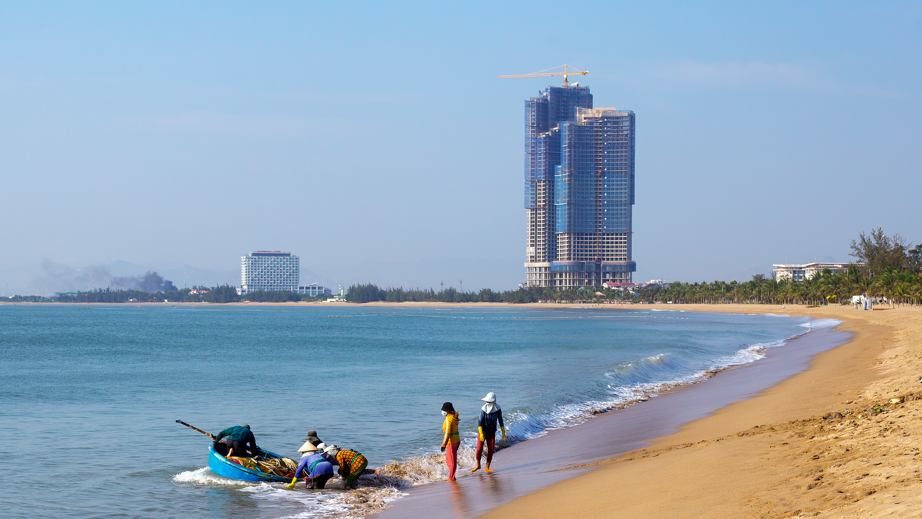



On the eastern shore of Phu Quoc, where the island faces the open Gulf of Thailand, Ham Ninh wakes before the sun. Fishing boats leave the concrete pier in the dark, and by the time the horizon turns orange — which happens here with particular drama, since the village sits on the east coast — the catch is already underway. Spider crabs, shrimp, squid, and fish will be back on the pier by afternoon.
The village runs along a shallow, tide-dependent beach backed by a 300-metre mountain. When the tide drops, the sand stretches wide and pale. When it rises, the water reaches the edge of the coconut trees. A 200-metre pier runs out to sea, and floating restaurants sit at the end of it.
💛 What travellers fall for
People who come back tend to say the same thing: arrive at 5:15 AM for the sunrise, not 6. Buy the spider crab at the market before noon, when the boats are freshly in. And if you can, find your way to Hamlet 7 Bon — the most remote corner of the commune, where tourism hasn't changed much of anything yet.
Deals in Ham Ninh
Book directly at the provider


How Ham Ninh came to be
Fishermen from elsewhere first anchored at this stretch of Phu Quoc's eastern coast more than 400 years ago. They came for the seafood, stayed long enough to build a village, and the settlement grew around the rhythms of the catch. The exact founding date is lost, but the administrative record is clearer: under the Minh Mang Dynasty, Ham Ninh was a hamlet within Ha Chau District, and it shifted between jurisdictions — Ha Tien, then Rach Gia — through the Thieu Tri and Tu Duc reigns and into the French colonial period.
The wooden pier that once defined the waterfront became the village's symbol, the place where boats tied up and traders gathered. In 2003, a local town leader pushed to replace it with the concrete structure that stands today.
Who and what shaped it
Landmark buildings
See Ham Ninh in motion
Plan your visit
On the map
When to go
October through April is the dry season — temperatures sit around 27–28°C, humidity is manageable, and the fishing community is at its most active. May through September brings persistent rain, high humidity, and overcast skies; some months see rain on 20 out of 30 days.
Right now
Background & history adapted from Wikipedia (CC BY-SA) · specs from Wikidata (CC0) · weather from Open-Meteo · map data © OpenStreetMap contributors · photos from Wikimedia Commons / Unsplash with per-image credit. No third-party reviews or social posts reproduced.