
Hallyeohaesang National Park
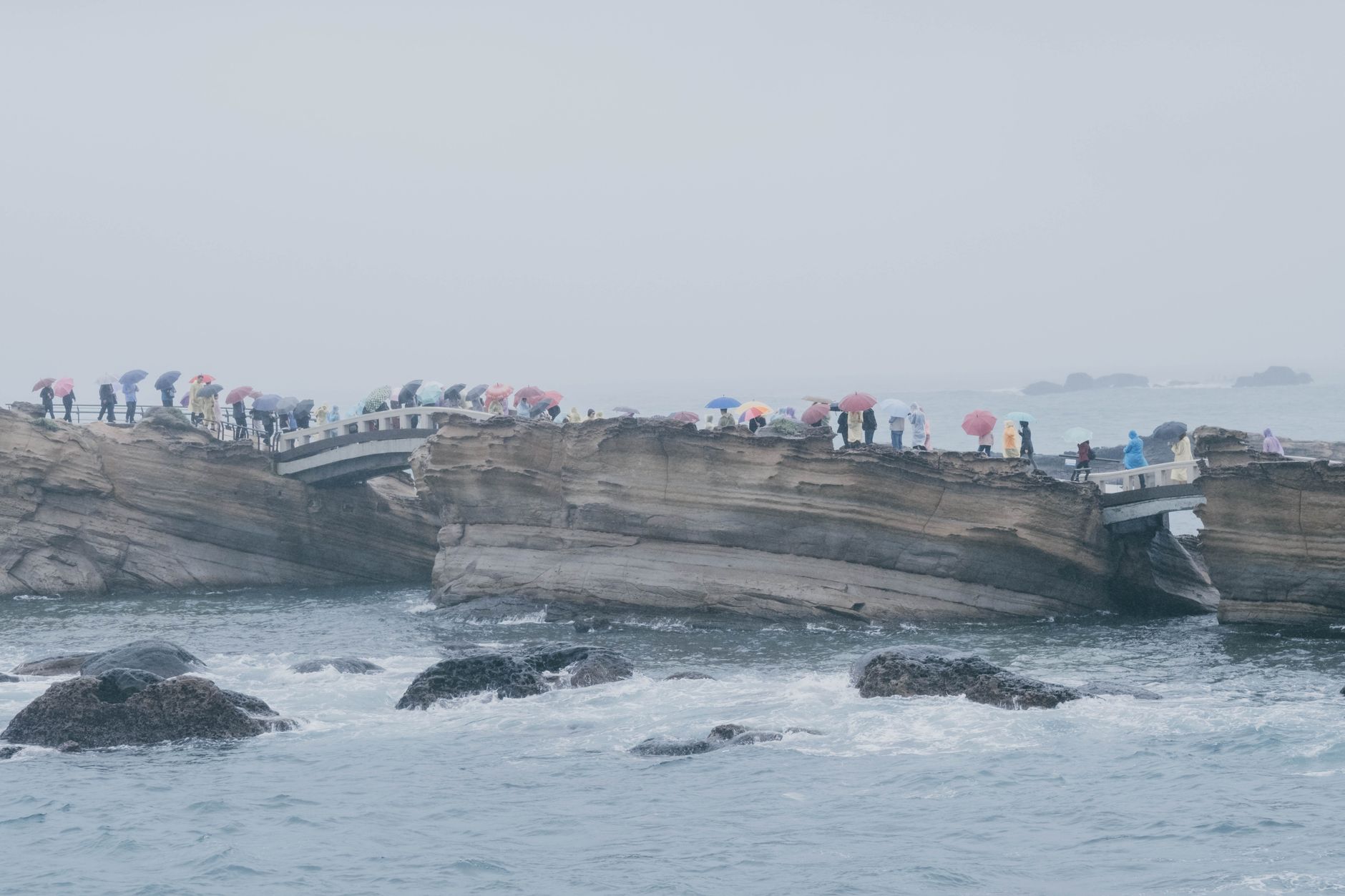
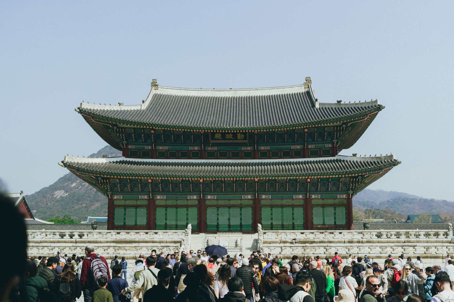
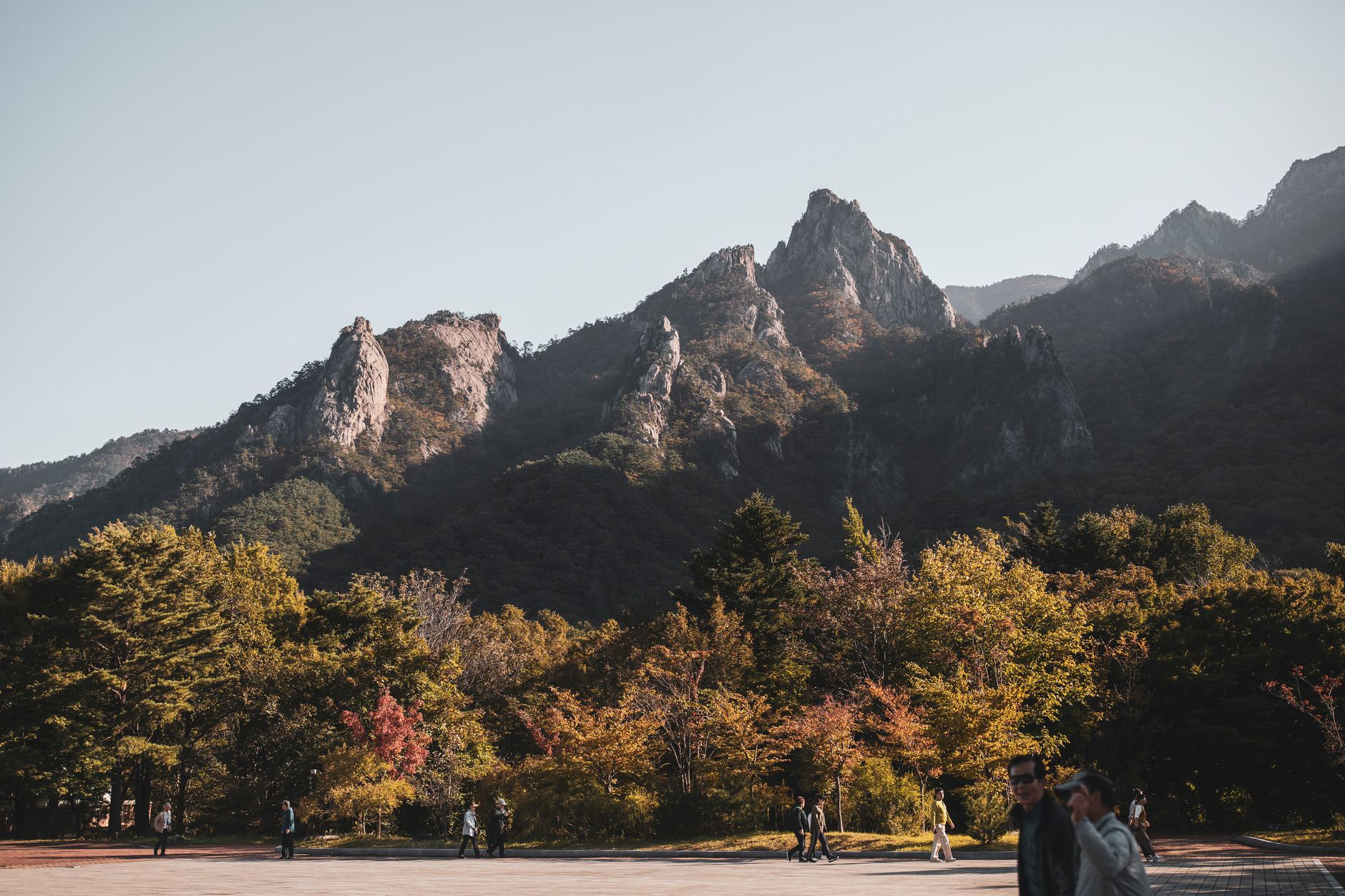
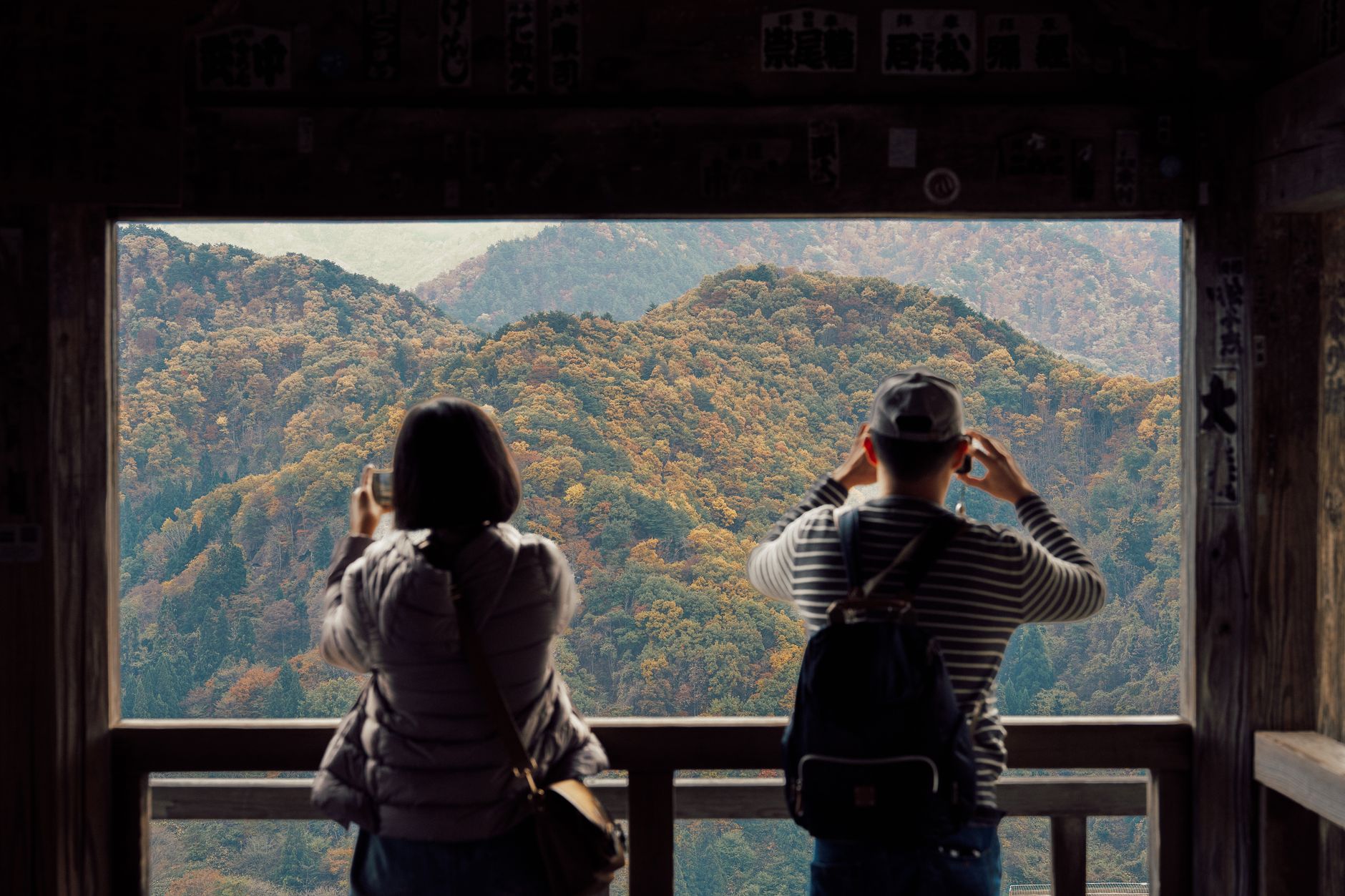
South Korea's first marine national park stretches 120 kilometres of coastline from Geoje to Yeosu, scattering 99 islands — some inhabited, most not — across a waterway locals call Hallyeosudo. The sea here does something specific: on calm mornings, the islands stack up in layers of blue-grey, each one slightly paler than the last, like a ink-wash painting that keeps going.
The park holds more than just water. Geumsan Mountain rises 704 metres above Namhae, giving you the full sweep of the archipelago from its summit. On Odongdo Island, a 760-metre breakwater walk leads to forests of over 3,000 camellia trees that bloom from October through spring. Bijindo's hourglass beach shifts shape with the tides.
How Hallyeohaesang National Park came to be
Hallyeohaesang was designated South Korea's first marine national park in 1968, the fourth national park established in the country overall. The decision recognised not just scenic value but the ecological weight of the Hallyeosudo waterway and its surrounding islands.
The waters here carry older significance too. In 1592, Admiral Yi Sun-sin led Korean forces to a decisive victory against Japanese naval fleets in the Battle of Hansan Island — fought in the very straits the park now protects. Hansando Island still holds sites tied to that campaign. In 2023, Hogusan County Park was incorporated into the Namhae district of the park, extending its reach further along the coast.
Who and what shaped it
People who shaped it
Landmark buildings
See Hallyeohaesang National Park in motion
Plan your visit
On the map
When to go
Spring (April to June, 15–20°C) and autumn (September to November, 10–20°C) offer the clearest skies and the most comfortable conditions for hiking and island-hopping. Summer is hot and humid with the heaviest visitor numbers; winter is cold but quiet, and the camellia forests on Odongdo are already coming into colour by October.
Right now
Background & history adapted from Wikipedia (CC BY-SA) · specs from Wikidata (CC0) · weather from Open-Meteo · map data © OpenStreetMap contributors · photos from Wikimedia Commons / Unsplash with per-image credit. No third-party reviews or social posts reproduced.