
Hallstatt
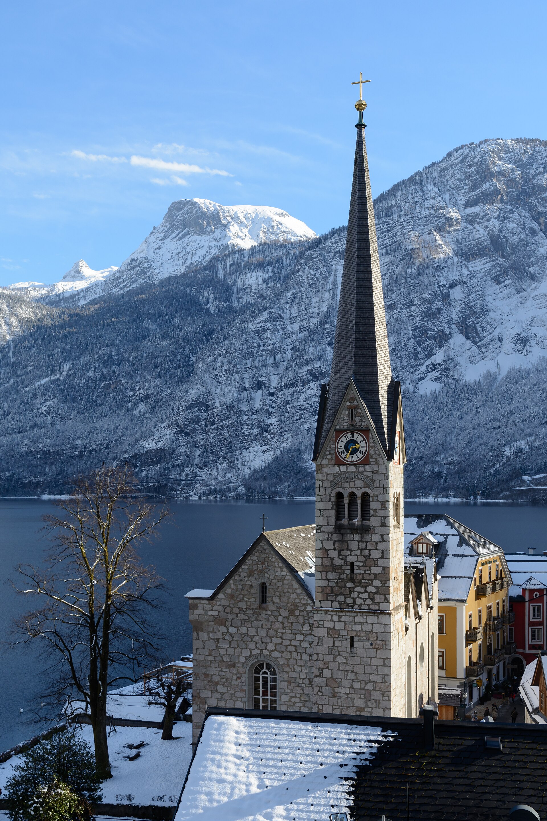
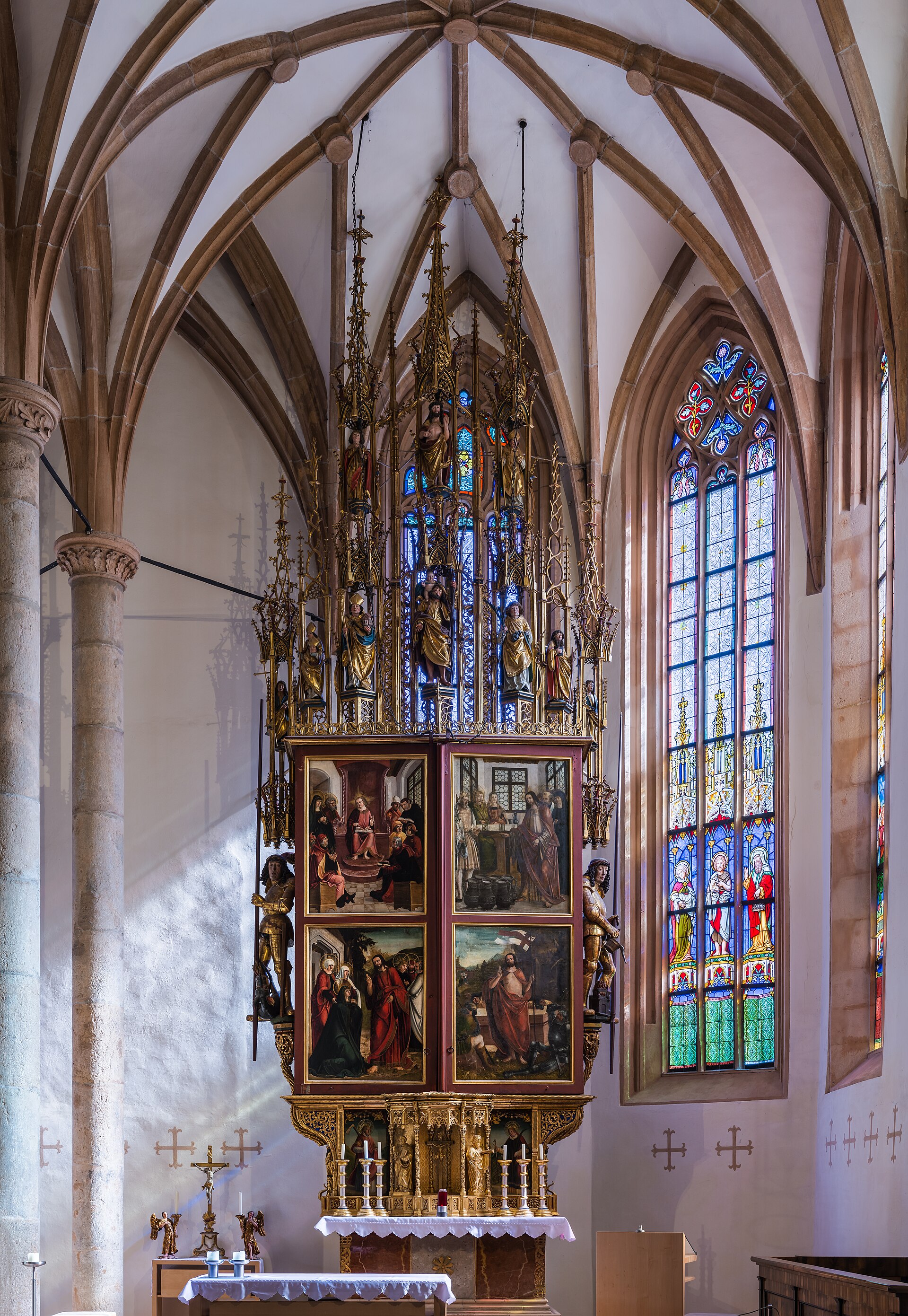
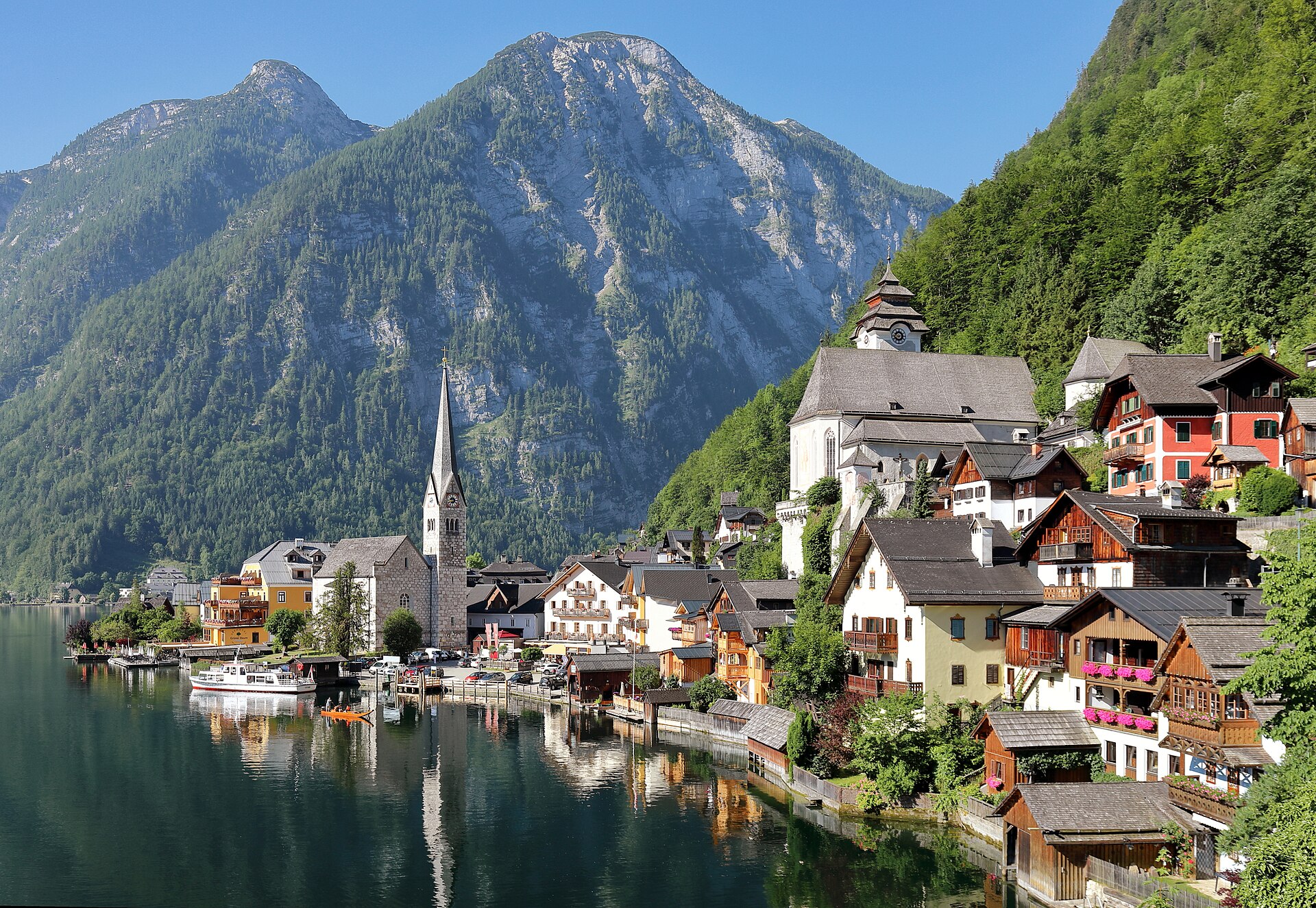

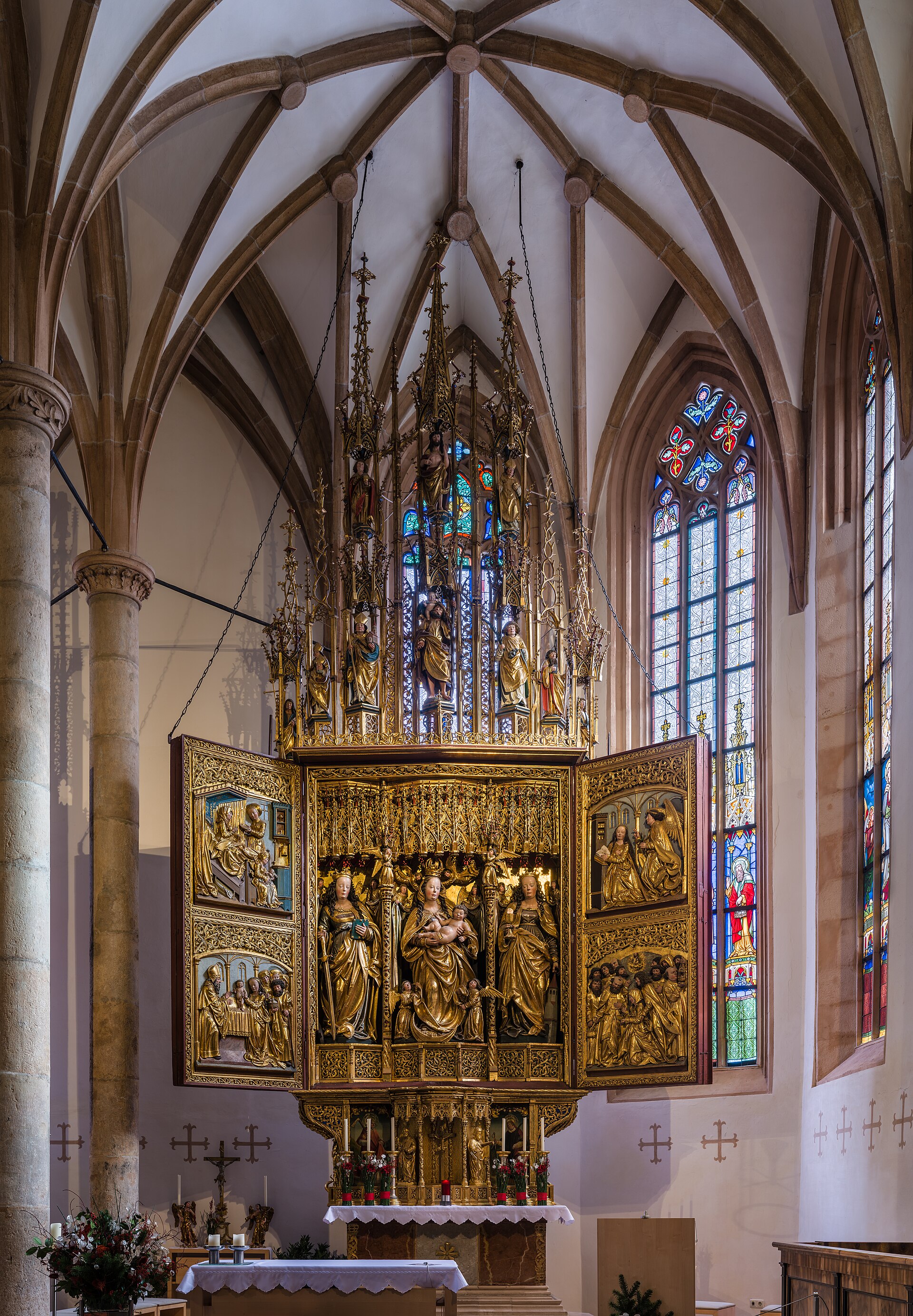
The first thing you notice about Hallstatt is the geometry: a thin strip of pastel houses pressed between a dark Alpine lake and a limestone cliff that rises almost vertically behind them. There is, quite literally, nowhere else to build. That compression is the whole story — it forced the town upward, inward, and, for centuries, deep into the mountain itself.
The mountain is the reason Hallstatt exists at all. Salt has been pulled from the Salzberg since at least 1300 BCE, making this one of the oldest continuously worked mines on earth. The prehistoric cemetery discovered here in 1846 was so significant it gave its name to an entire archaeological era: the Hallstatt culture, spanning roughly 1200 to 450 BCE.
💛 What travellers fall for
People who come back tend to arrive early — before the first tour groups cross the lake — and walk straight up to the Salzberg before the cable car fills. The ossuary in St. Michael's Chapel is easy to skip past, but worth five quiet minutes: more than 600 painted skulls, each with a name and date, lined up on wooden shelves.
How Hallstatt came to be
People have been extracting salt from the Salzberg since the Bronze Age — a fully developed mine existed by around 1300 BCE, tunnelling 300 metres into the rock. When the entire workings collapsed around 1000 BCE, the town effectively started over, establishing a new mine by 800 BCE. The prehistoric cemetery excavated by Johann Georg Ramsauer from 1846 onward yielded 1,045 burials and defined what archaeologists now call the Hallstatt culture.
The medieval town formalised around salt too: Hallstatt became a market town in 1311, and a specialised profession — salt pavers — emerged to handle packaging and transport. Much of what you see today dates to 1750, when the town was rebuilt in late Baroque style after fire destroyed its timber buildings. The surrounding cultural landscape was designated a UNESCO World Heritage Site in 1997.
Who and what shaped it
People who shaped it
Landmark buildings
See Hallstatt in motion
Plan your visit
On the map
When to go
Summers are mild and often overcast, with afternoon thunderstorms rolling in off the Dachstein; spring and autumn bring clearer skies and far fewer visitors. Winter is cold and frequently snowy, which closes the mine and Skywalk but leaves the lakeside almost entirely to itself.
Right now
Background & history adapted from Wikipedia (CC BY-SA) · specs from Wikidata (CC0) · weather from Open-Meteo · map data © OpenStreetMap contributors · photos from Wikimedia Commons / Unsplash with per-image credit. No third-party reviews or social posts reproduced.