
Hallasan National Park

At 1,950 metres, Hallasan is the highest point in South Korea — a dormant shield volcano that takes up a significant portion of Jeju Island and shapes nearly everything about the place: its weather, its ecology, the way light sits differently at altitude. The crater at the summit holds Baengnokdam, a lake whose name translates as 'white deer lake', roughly 2 km in circumference and sitting inside a volcanic bowl more than 400 metres across.
Seven trails cross the park, but only two reach the summit. Around the main peak, 368 parasitic cones called oreums — a Jeju dialect word for peak — dot the slopes, each one a small remnant of the same volcanic history. The park is free to enter, which makes it one of the more generous UNESCO World Heritage sites you'll visit.
💛 What travellers fall for
People who've done both summit routes tend to have strong opinions: the Gwaneumsa Trail (8.7 km, five hours up) is steeper and quieter, with better views into the crater rim. The Seongpanak Trail requires an advance reservation and a 9 AM cut-off for ascent — miss that window and you're turned back at the gate.
How Hallasan National Park came to be
Hallasan formed during the Pliocene epoch, built up over millions of years by volcanic eruptions. The mountain's most recent activity came from flank eruptions in 1002 and 1007 — relatively recent on a geological timeline, though the main volcano has been dormant since. The site was recognised as South Korean Natural Monument number 182 in October 1966, four years before it became the country's ninth national park in 1970.
International recognition followed later: UNESCO designated it a Biosphere Reserve in 2002 and a World Heritage Site in 2007. Gwaneumsa Temple, constructed during the Goryeo Dynasty and completed in 1083, sits within the park and is the oldest Buddhist temple on Jeju Island — predating the national park designation by nearly nine centuries.
Who and what shaped it
Landmark buildings
See Hallasan National Park in motion
Plan your visit
On the map
When to go
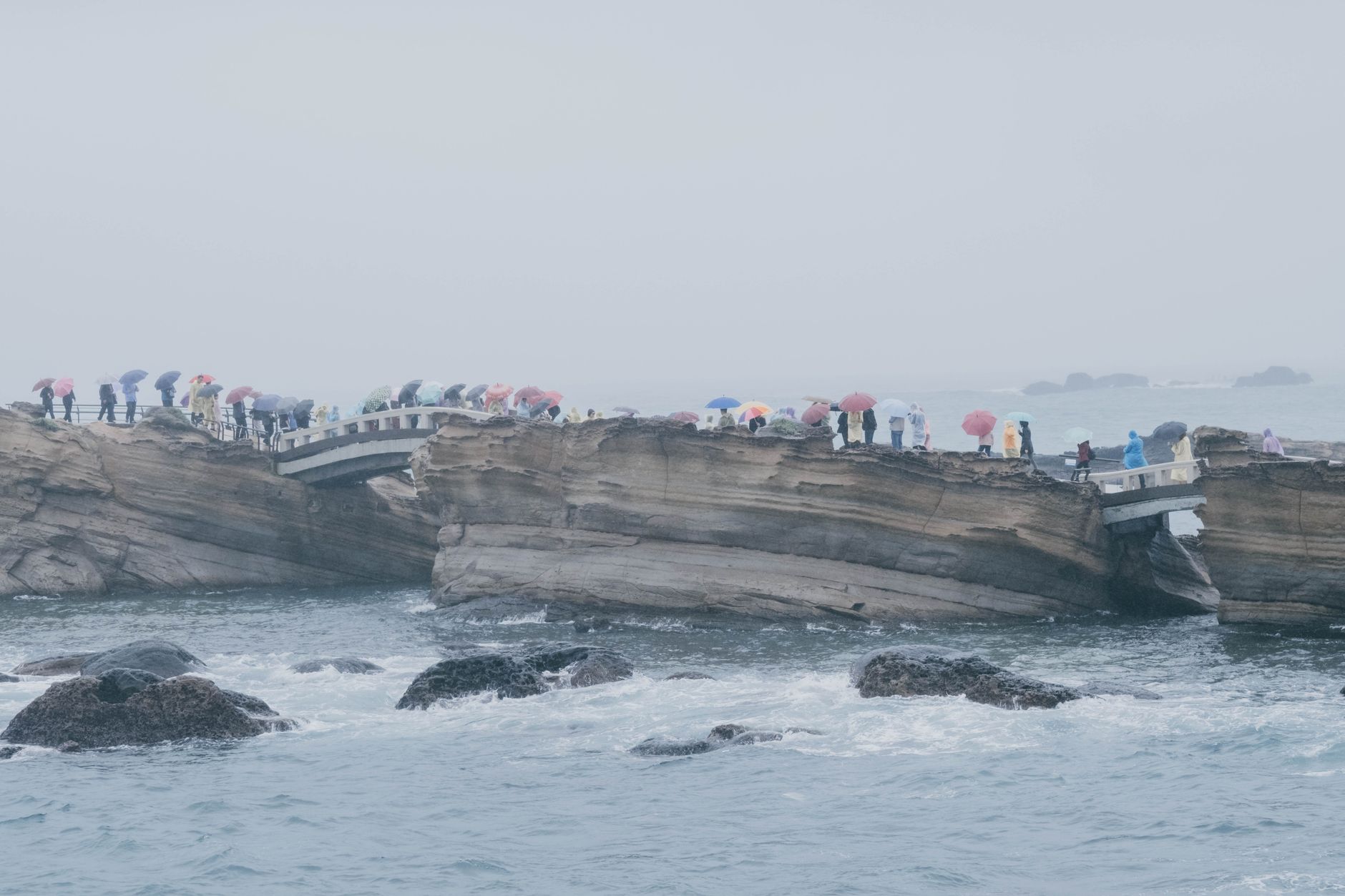
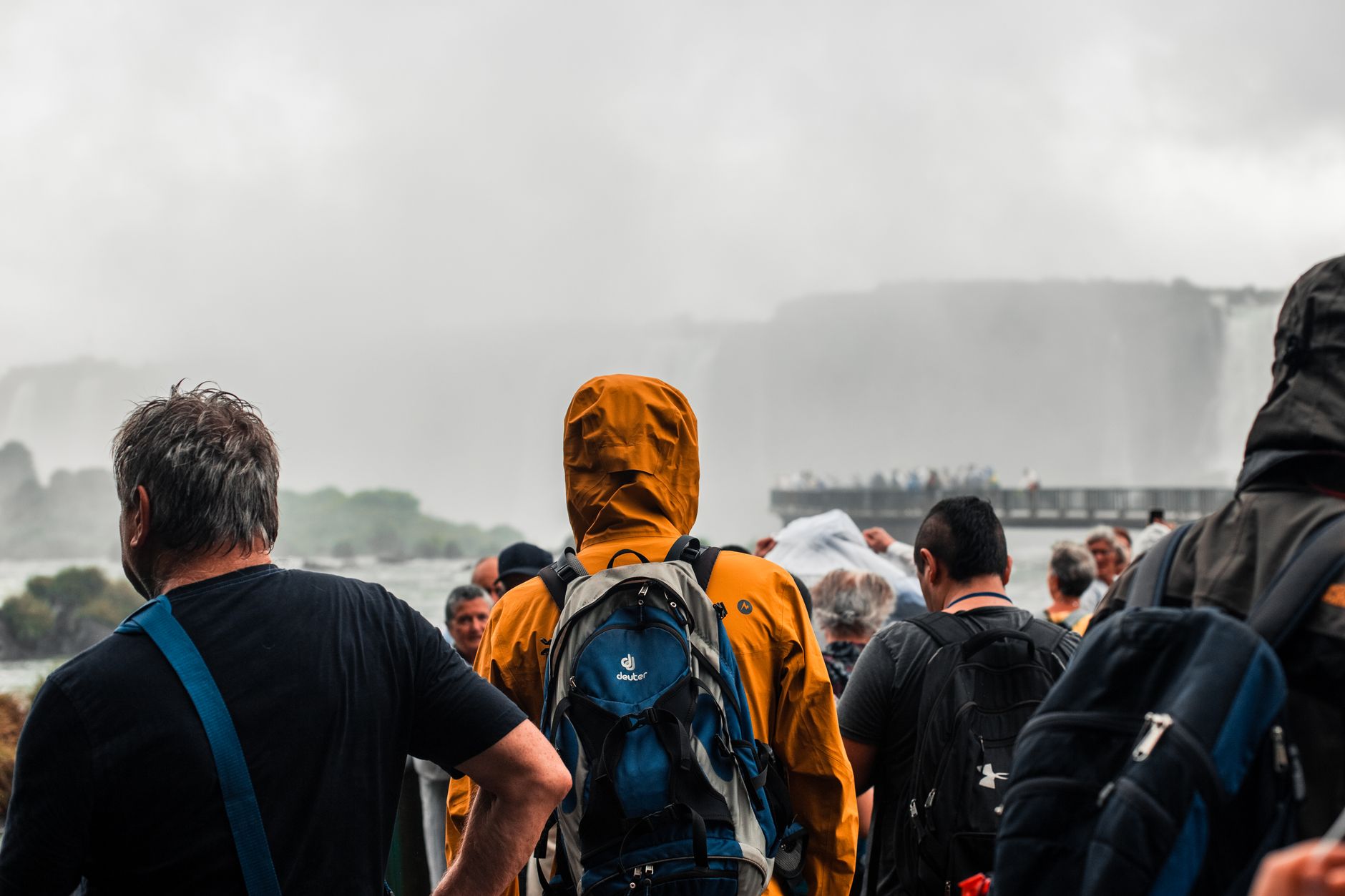
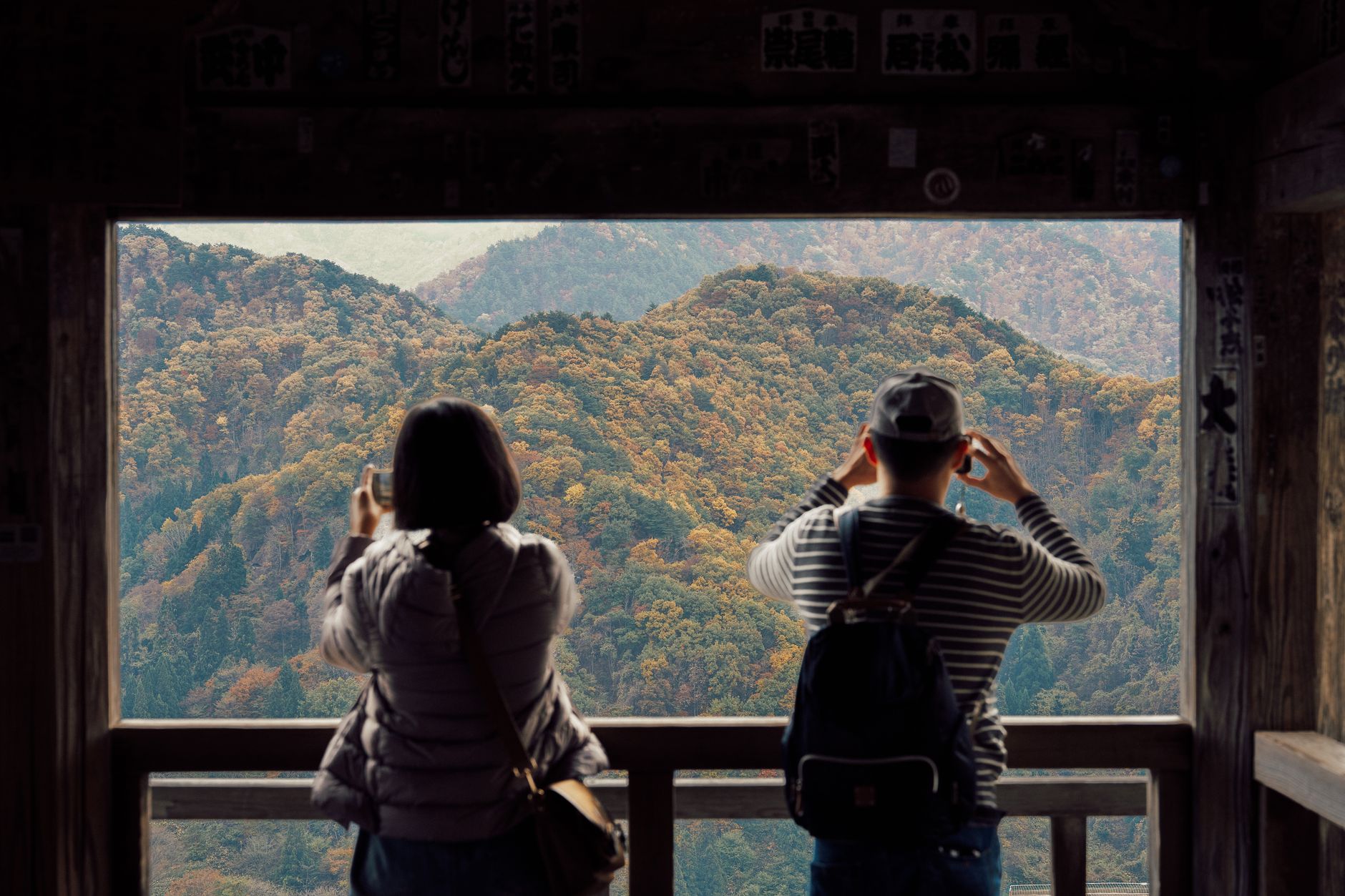
Spring (April to June) and autumn (September to November) offer the most stable hiking conditions, with daytime temperatures between 10°C and 21°C; autumn turns the slopes rust and gold. Summer is lush but expect frequent rain and fog that can make the upper trails slow and slippery, while winter brings snow to the summit and the real possibility of icy trails that require crampons.
Right now
Background & history adapted from Wikipedia (CC BY-SA) · specs from Wikidata (CC0) · weather from Open-Meteo · map data © OpenStreetMap contributors · photos from Wikimedia Commons / Unsplash with per-image credit. No third-party reviews or social posts reproduced.