
Half Moon Island
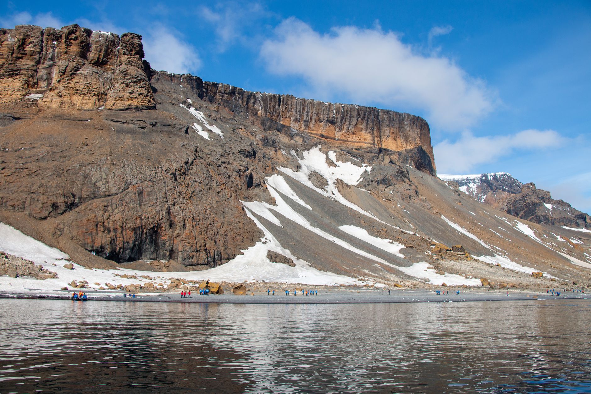
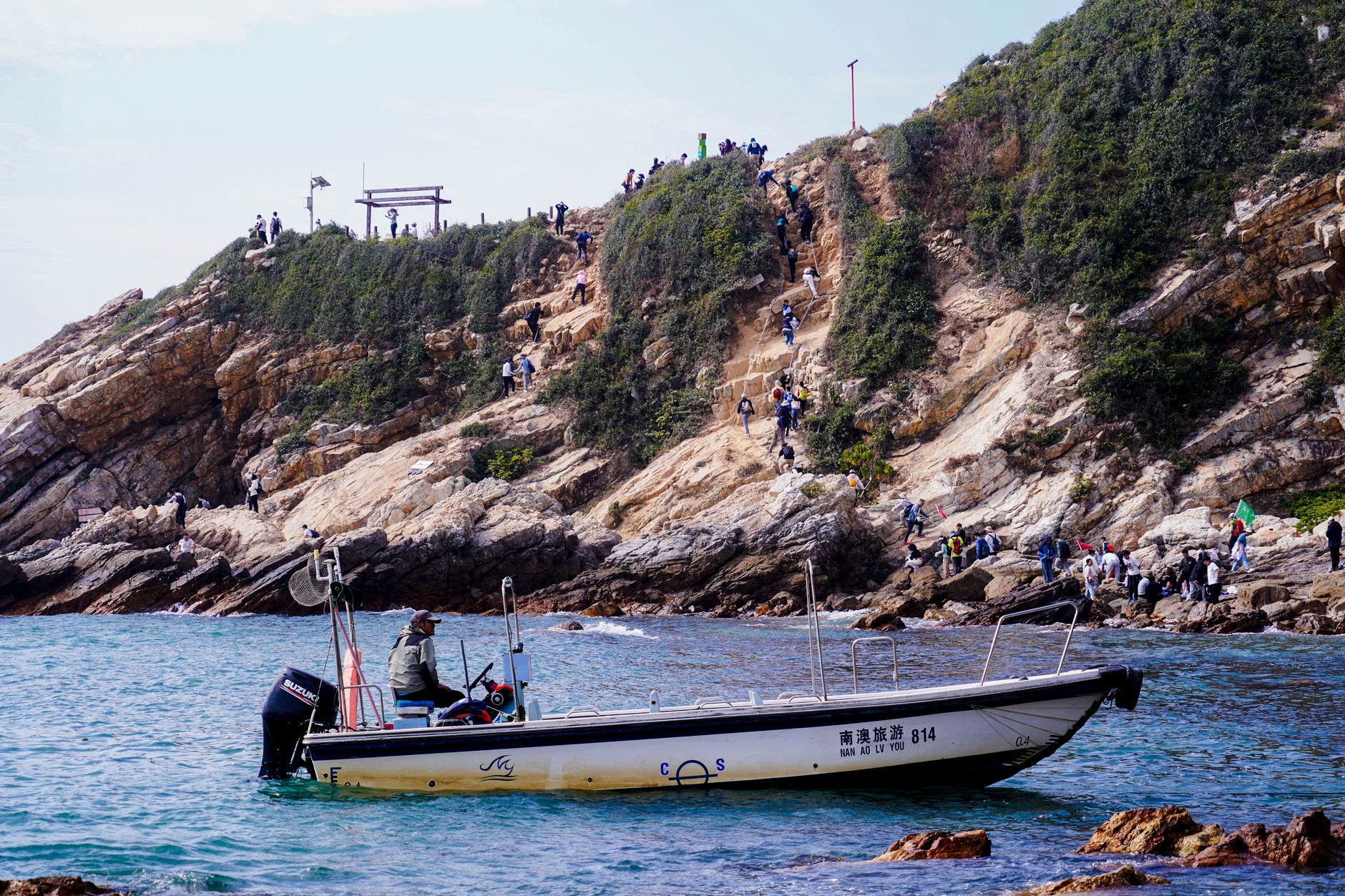
Half Moon Island earns its name honestly: seen from the water, the crescent of cobbled beach curves around Menguante Cove in a shape that doubles as a natural harbour. The island itself is a series of gravel bars — tombolos — linking outcrops of volcanic rock whose craggy slabs are painted in patches of orange, yellow and black lichen. More than three thousand pairs of chinstrap penguins breed here, and the colony occupies the southern slopes with a density that makes the place feel genuinely alive at a geological scale.
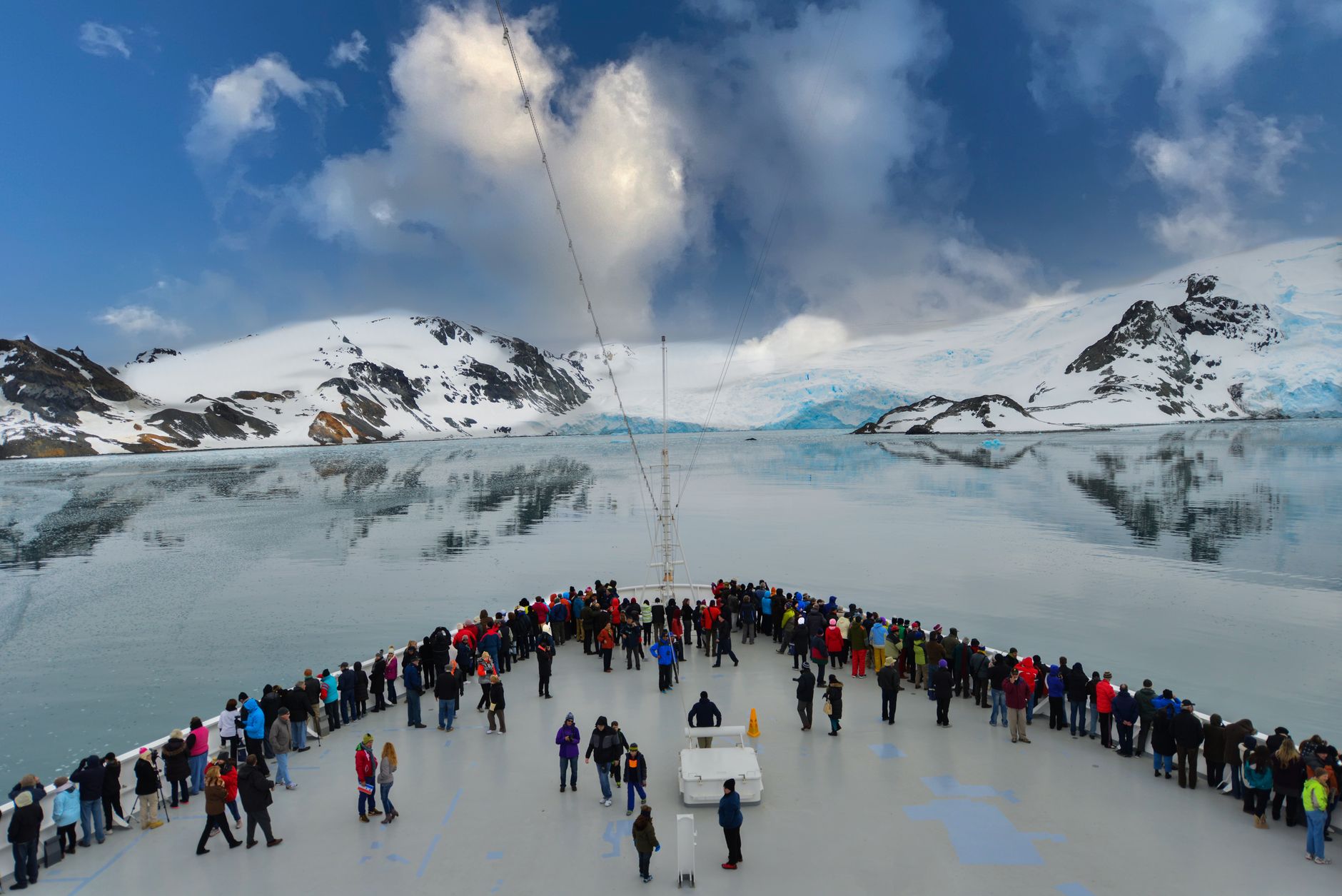
Across the water, Livingston Island's glaciers are visible from almost any point on the walking track. This is one of the more accessible landings on an Antarctic cruise — the cobbled beach is steep and swell is possible, but manageable — and the 2,000-metre circuit to Xenia Hill covers terrain that tells you a great deal about what the peninsula's smaller islands actually look like up close.
How Half Moon Island came to be
The island's crescent shape made it a practical anchorage from the earliest days of Antarctic exploration, and a landing here in November 1820 is attributed to Nathaniel Palmer. It remained a waypoint rather than a destination until Argentina established Destacamento Naval Luna on 1 April 1953 — what would become Cámara Base, positioned in the northern foothills of La Morenita Hill. The station closed after the 1959–60 summer season and sat dormant for nearly three decades before reopening in 1988 as a seasonal facility.
The base was renamed in memory of Frigate Lieutenant Naval Aviator Juan Ramón Cámara, who died in an on-duty accident on 16 January 1955. The island's flora received its first systematic attention in 1971, when Denis C. Lindsay documented the plant life — a record that has since grown to 37 moss species and 59 lichens, with Antarctic hairgrass the only vascular plant present.
Who and what shaped it
People who shaped it
Landmark buildings
See Half Moon Island in motion
Plan your visit
On the map
When to go
Summer visits (November–March) bring temperatures that can reach 2°C on a good day, though wind is a constant regardless of season. Snow is possible at any time, and the cold is persistent rather than dramatic — layers and waterproofs matter more than a single heavy coat.
Right now
Background & history adapted from Wikipedia (CC BY-SA) · specs from Wikidata (CC0) · weather from Open-Meteo · map data © OpenStreetMap contributors · photos from Wikimedia Commons / Unsplash with per-image credit. No third-party reviews or social posts reproduced.