
Ha Long Bay
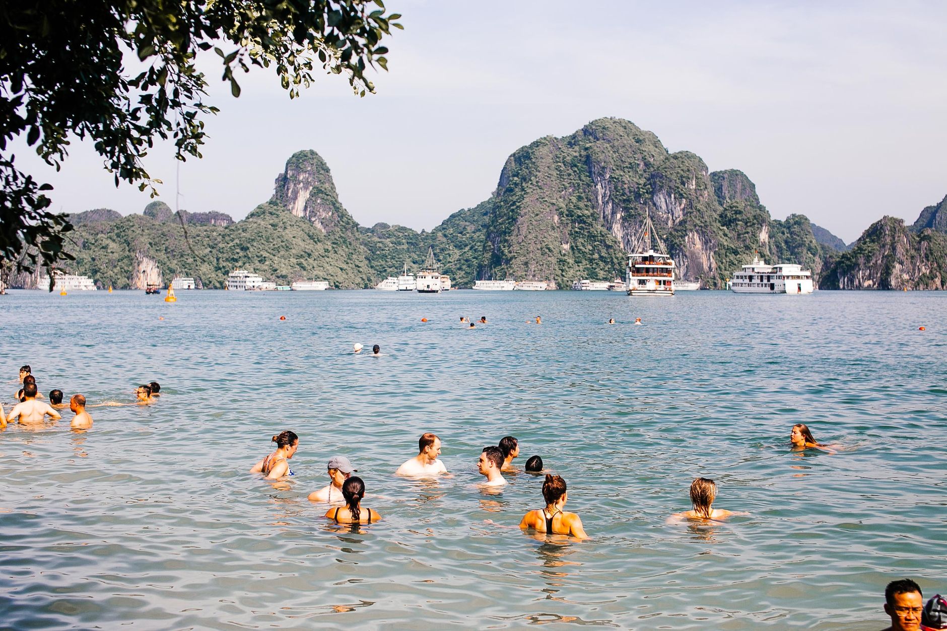
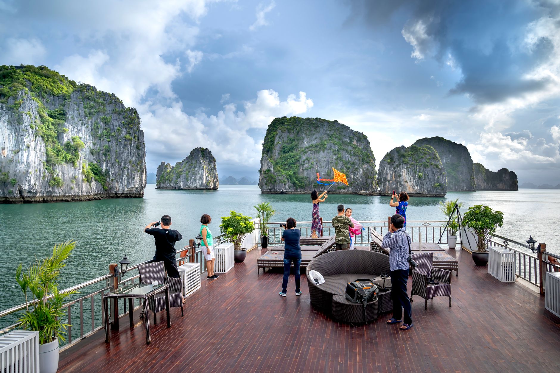
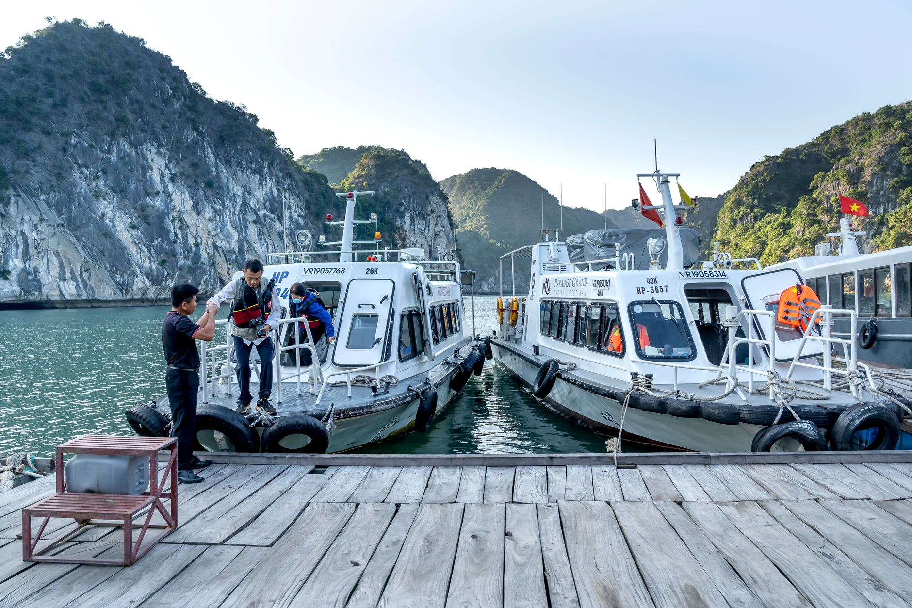
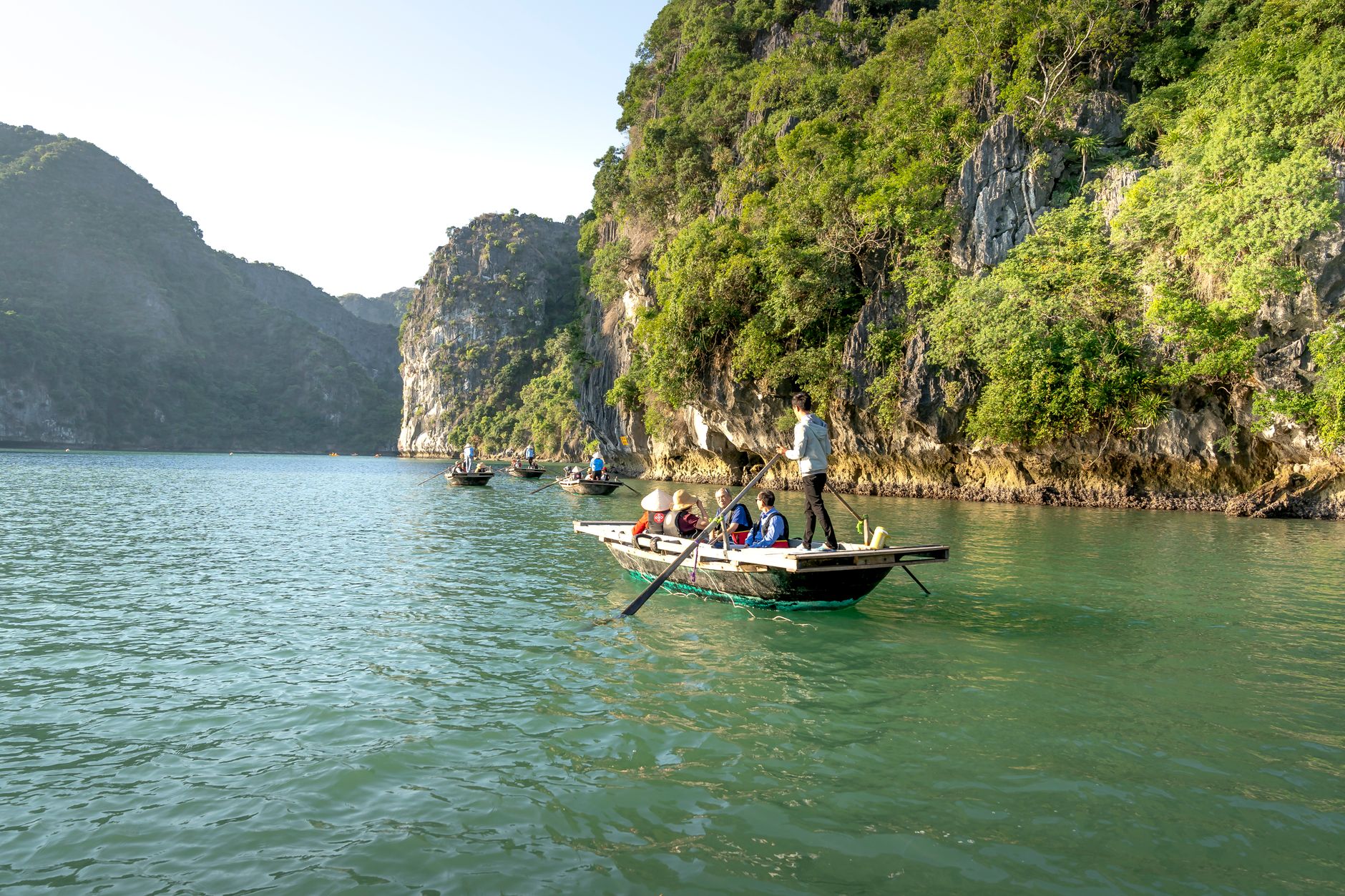
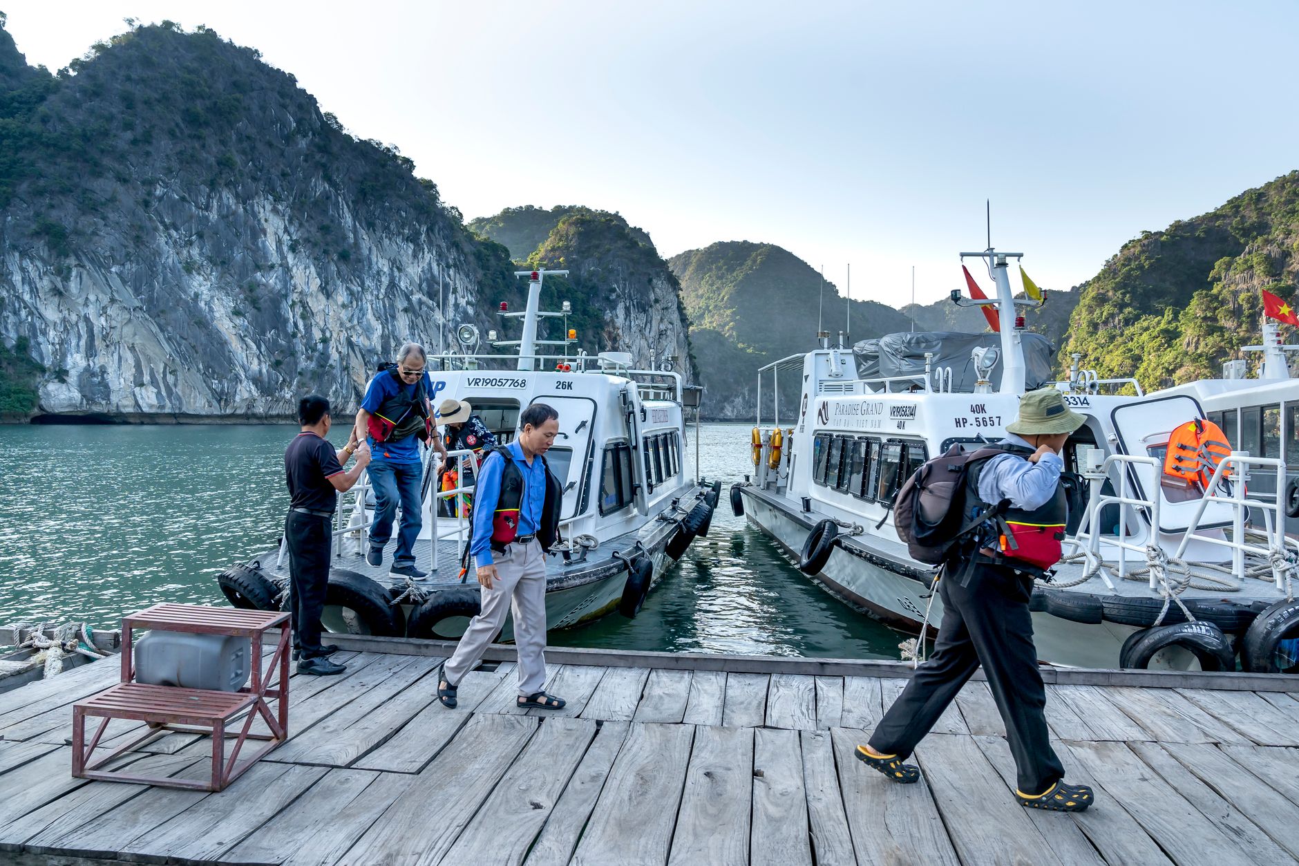
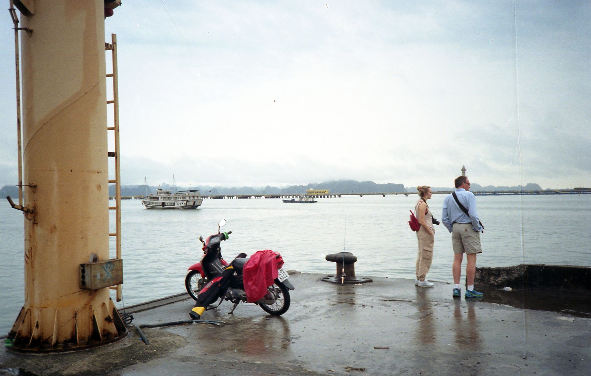
Roughly 1,600 limestone karsts rise from the Gulf of Tonkin in shapes that seem to belong to a different atmosphere — some narrow as columns, others broad and forested, a few hollow with caves whose chambers reach thirty metres high. The bay covers around 1,500 square kilometres, and the scale only becomes real when your boat slips between two towers of rock and the horizon disappears.
Most people arrive on an overnight junk from Hanoi, and that rhythm — sleeping on the water, waking to mist burning off the karsts — is genuinely the right way to do it. Floating villages still sit on the surface here: Cua Van, Vung Vieng, Cong Dam, Ba Hang, where families raise fish in netted pens directly beneath their homes.
💛 What travellers fall for
People who come back tend to push further into Bai Tu Long Bay on the second visit, away from the main cruise corridors. They also mention kayaking into Ba Ham Lake at low tide — three interconnected lagoons reached through underwater cave passages — as the detail that stays with them longest.
How Ha Long Bay came to be
People have lived around this bay for a very long time — the Soi Nhụ culture was here as far back as 18,000 BC, and the later Hạ Long culture left fossilised remains and artefacts still found in caves like Me Cung. The poet and statesman Nguyễn Trãi described it five centuries ago as 'a rock wonder in the sky.' In 1288, General Trần Hưng Đạo used the tidal shallows strategically, planting iron-tipped stakes in the riverbed that tore through the Mongol fleet as the tide rose — one of the decisive moments in Vietnamese history.
The bay was designated a national landscape monument in 1962 and received UNESCO World Heritage status in 1994, with geological recognition added in 2000. In September 2023, the boundary was extended to absorb the Cat Ba archipelago, making it Vietnam's first inter-provincial World Heritage Site.
Who and what shaped it
People who shaped it
Landmark buildings
See Ha Long Bay in motion
Plan your visit
On the map
When to go
Spring (February to April) is the most comfortable window — temperatures between 18 and 23°C, softer light, manageable humidity. Summer (May to August) brings heat up to 32°C and occasional storms; visibility can be exceptional between squalls, but check conditions before booking an open-deck itinerary.
Right now
Background & history adapted from Wikipedia (CC BY-SA) · specs from Wikidata (CC0) · weather from Open-Meteo · map data © OpenStreetMap contributors · photos from Wikimedia Commons / Unsplash with per-image credit. No third-party reviews or social posts reproduced.