
Gyeongju
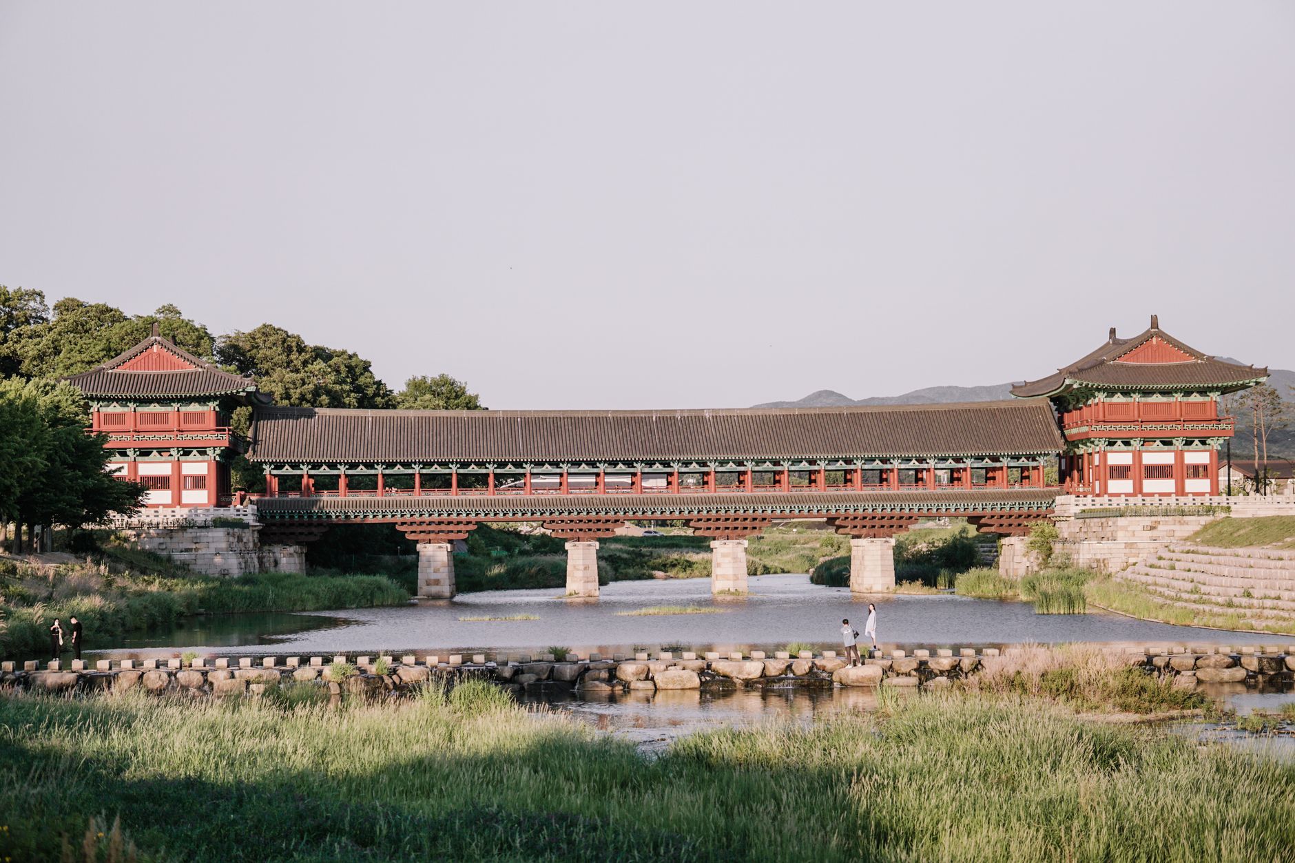
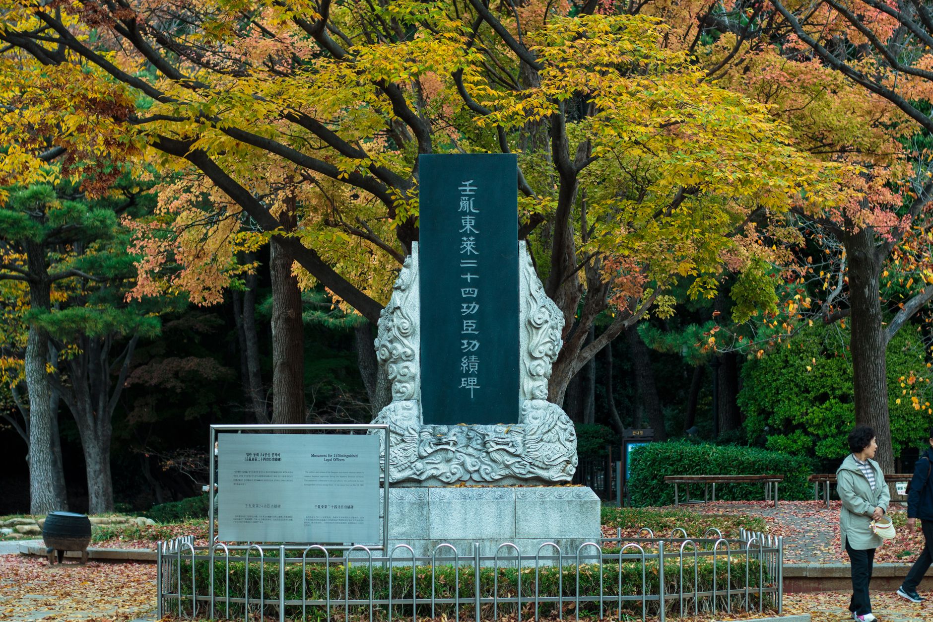
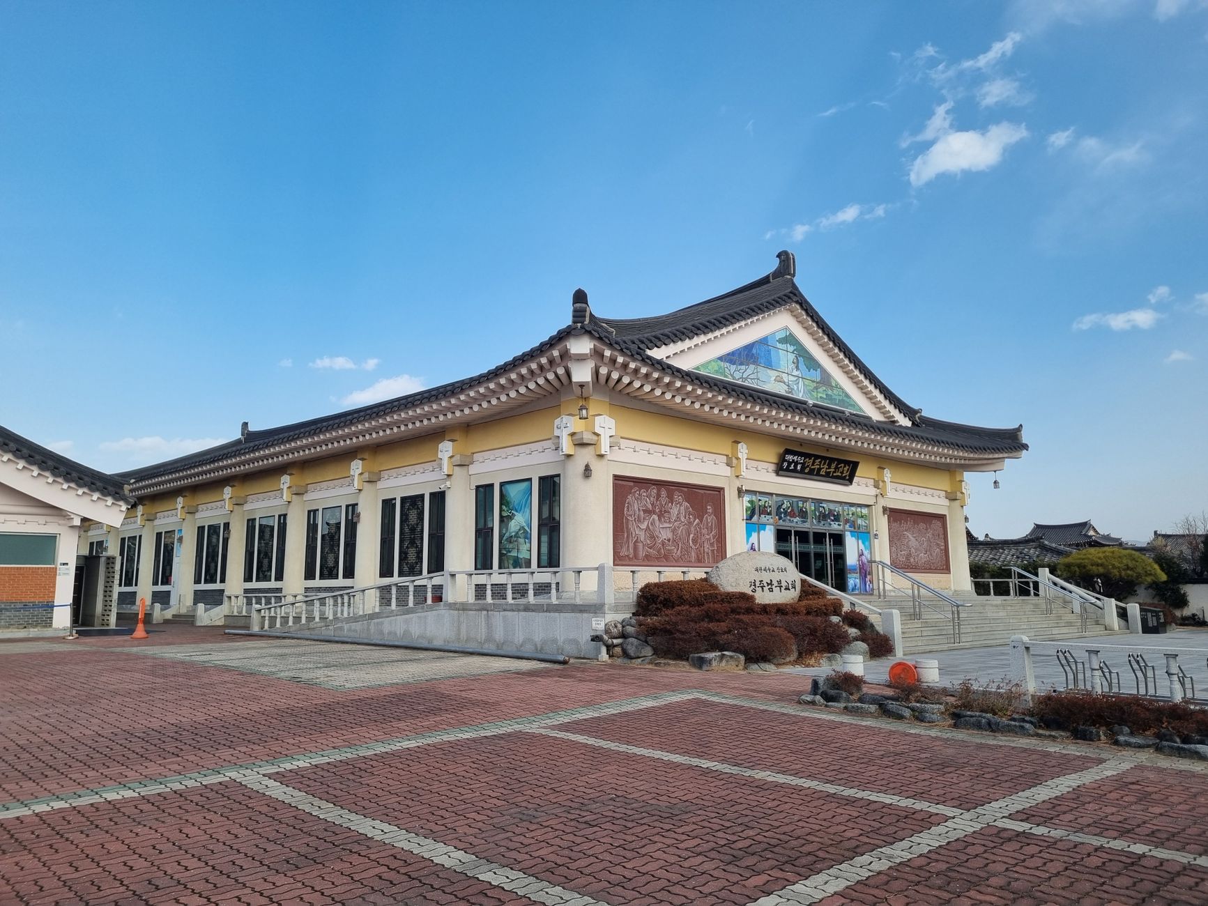
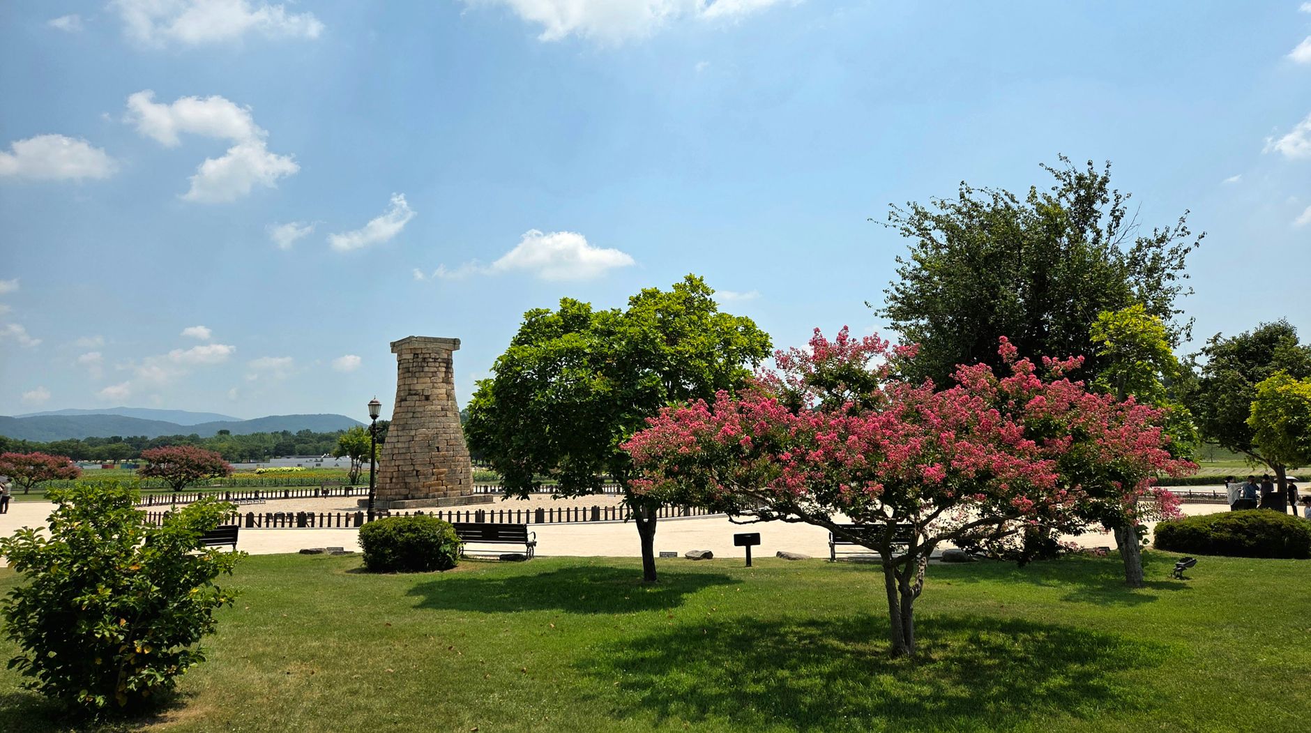
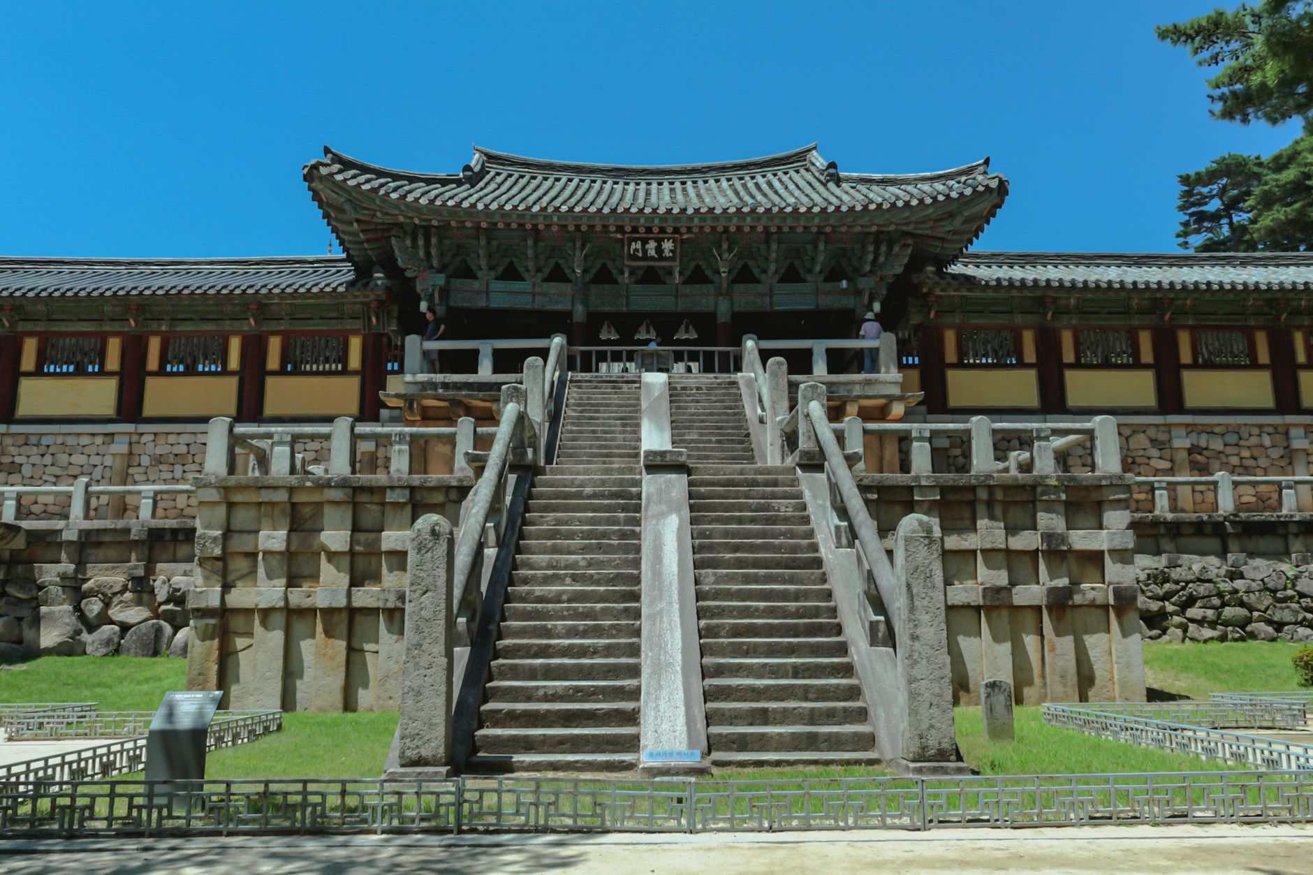
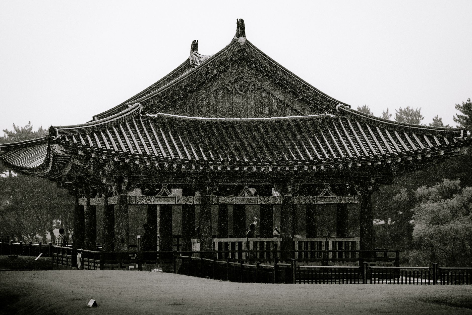
Walk almost anywhere in Gyeongju and the ground beneath you is doing something. Burial mounds rise from the city's parks and backstreets like green hills that forgot to stop — inside them, gold crowns and bronze mirrors have been waiting since the fifth century. This was the capital of the Silla kingdom for nearly a thousand years, and the density of what remains is unlike anywhere else on the peninsula.
The city holds two UNESCO World Heritage Sites, 52 designated cultural assets, and a seventh-century observatory still standing at under ten metres tall. It rewards slowness: a bicycle, a loose afternoon, and the willingness to take a side road.
💛 What travellers fall for
People who come back tend to time Donggung Palace for after dark, when the illuminated pavilions reflect across Wolji Pond and the crowds from earlier in the day have thinned. They also learn quickly that buses 10 and 11 handle the central loop well, but the Seokguram run on Line 12 only goes every two hours — plan around it or you'll be waiting.
How Gyeongju came to be
Gyeongju began as Saro, a settlement on a broad plain in southeastern Korea, traditionally founded in 57 BCE when a leader named Hyeokgeose united six villages. The kingdom that grew from it — Silla — held this corner of the peninsula through the Three Kingdoms period, then unified all of Korea in 668 CE and ruled for nearly three more centuries. At its ninth-century peak the city held a million people, four royal palaces, and temples on a scale never since matched: Hwangnyongsa, built under King Jinheung in the sixth century, covered 72,500 square metres and featured a wooden pagoda 82 metres tall. None of that pagoda survives.
The kingdom unravelled in the late ninth century. In 927 the city was pillaged; in 935 the last Silla king surrendered to the founder of the Goryeo dynasty, who renamed the place Gyeongju — 'congratulatory district' — a title that carries a faint note of consolation. What remained was buried, literally, in the tombs that still define the skyline.
Who and what shaped it
People who shaped it
Landmark buildings
See Gyeongju in motion
Plan your visit
On the map
When to go
Spring (April–May) and autumn (September–October) bring mild temperatures and clear skies — the best conditions for moving between outdoor sites all day. Summers are hot and humid with heavy rain in July and August; winters are cold and dry, though the low crowds and sharp light have their own appeal.
Right now
Background & history adapted from Wikipedia (CC BY-SA) · specs from Wikidata (CC0) · weather from Open-Meteo · map data © OpenStreetMap contributors · photos from Wikimedia Commons / Unsplash with per-image credit. No third-party reviews or social posts reproduced.