
Gyeonggi Province
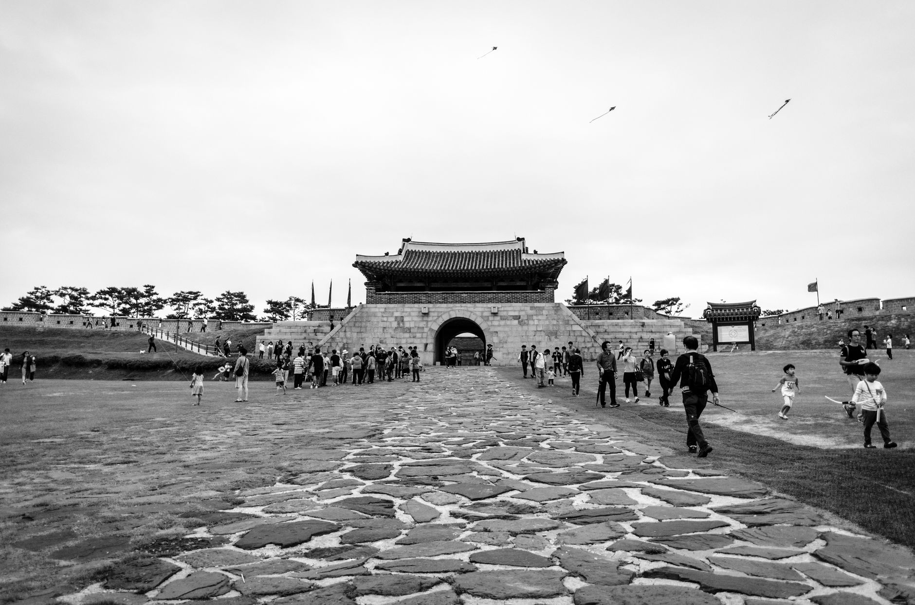
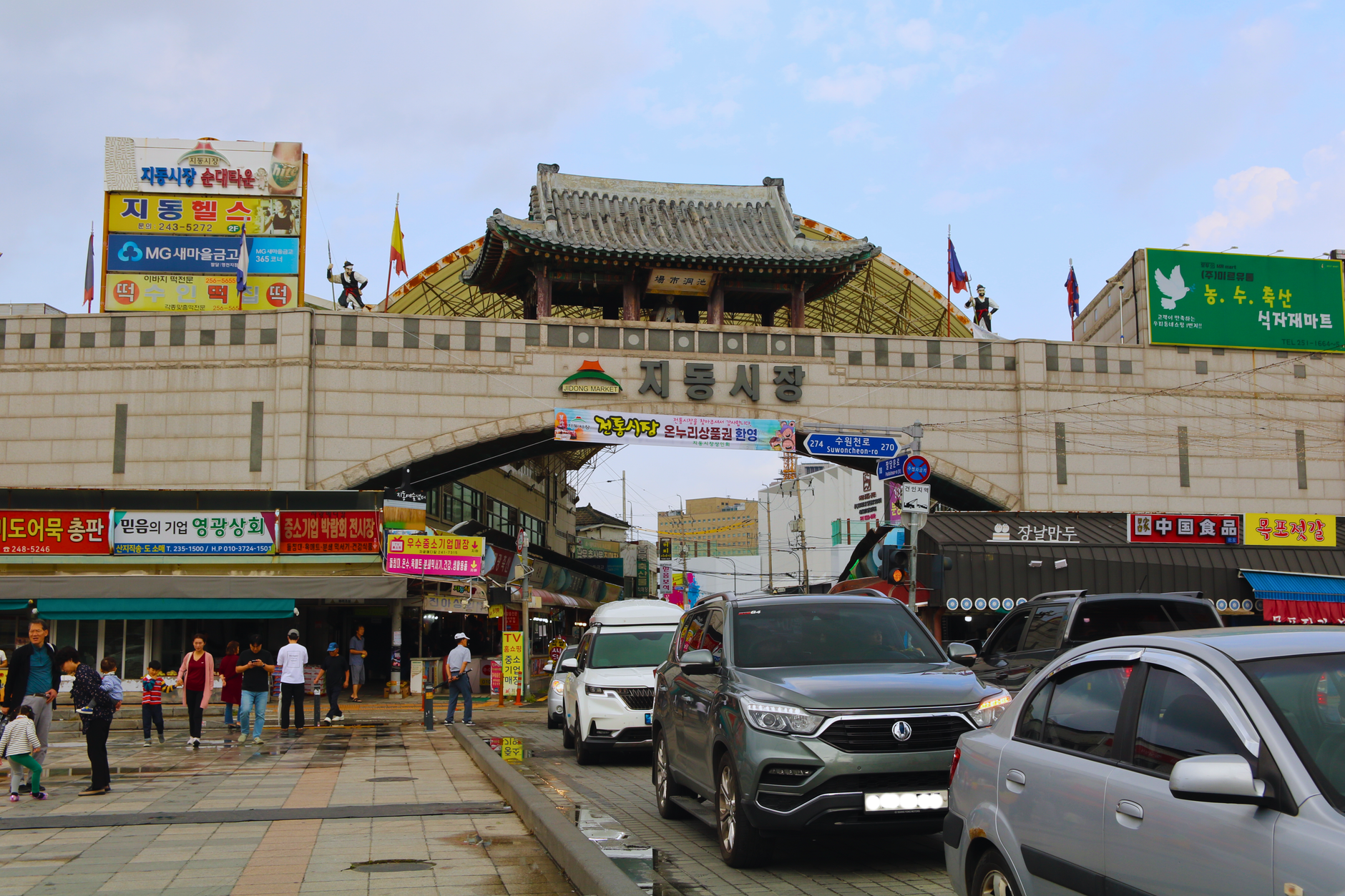
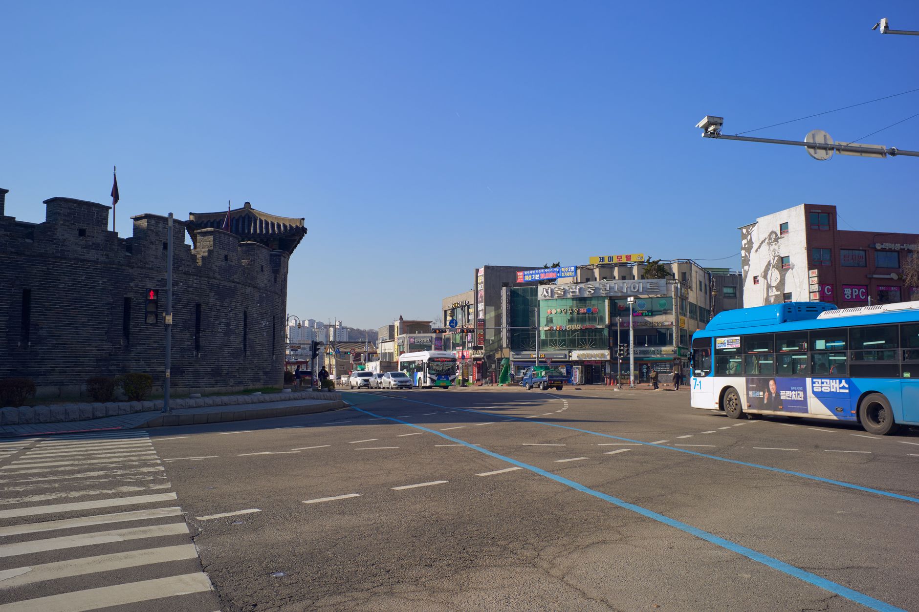
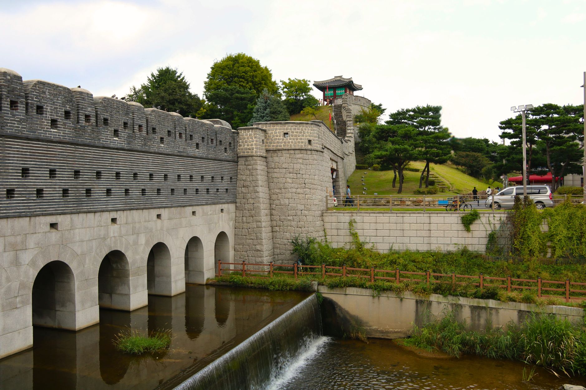
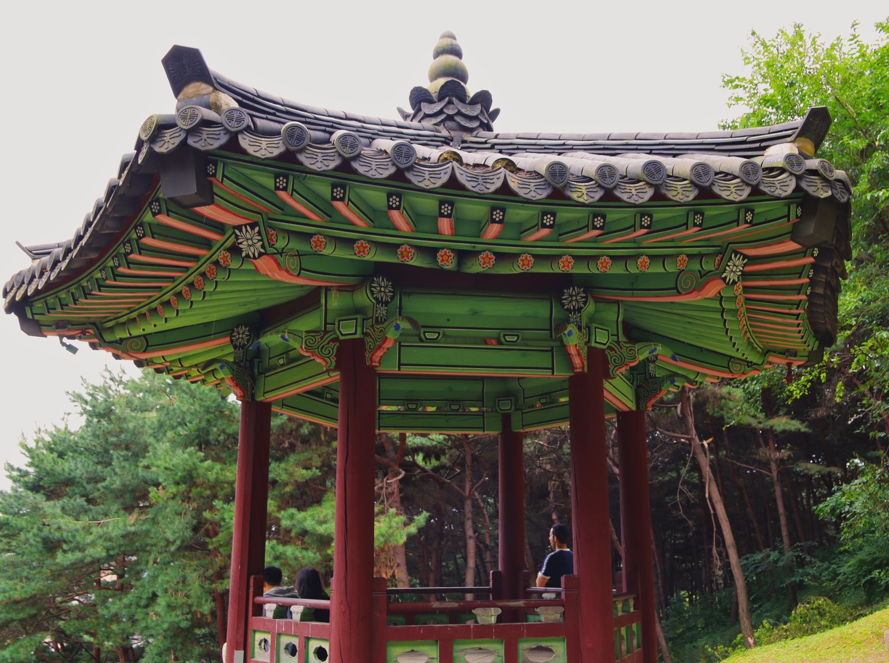
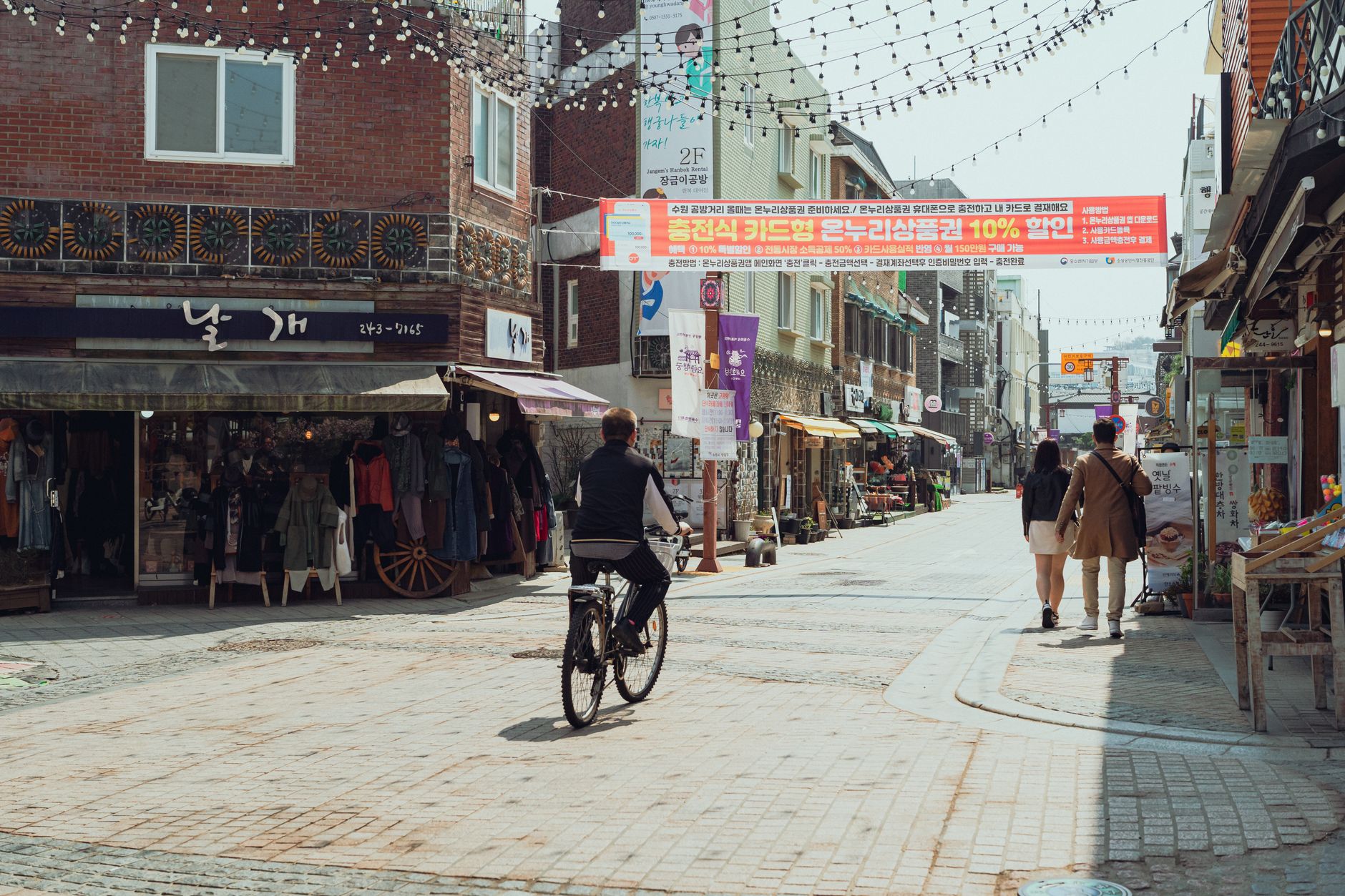
Gyeonggi Province wraps around Seoul on nearly every side, and that geography shapes everything about it. The province holds UNESCO-listed fortress walls, royal tombs scattered across forested hillsides, a tunnel dug by North Korea that was only found in 1978, and rice paddies that give way, abruptly, to apartment towers.
What you're moving through is essentially the old heartland of Korean civilisation — the Han River valley has been fought over, settled, and renamed since at least the Three Kingdoms period. The modern province is less a destination than a vast middle ground, best explored as a series of deliberate side trips rather than a single sweep.
How Gyeonggi Province came to be
The name Gyeonggi was formalised in 1018, during the ninth year of Goryeo King Hyeonjong's reign, though the land had been politically central for centuries before that. The Han River valley passed through Baekje, Goguryeo, and Silla hands in succession — each dynasty recognising that whoever held this corridor held the peninsula's core.
The province took its present shape in 1414 under Joseon's King Taejong, and for the next five centuries it served as the royal dynasty's immediate hinterland — the site of fortress construction, royal burials, and the temples that served both. The provincial seat moved from Seoul to Suwon in 1967; Incheon was split off as its own metropolitan city in 1981.
Who and what shaped it
Landmark buildings
See Gyeonggi Province in motion
Plan your visit
On the map
When to go
Spring and autumn are the easiest seasons — warm days, cool nights, and the kind of clear skies that make fortress walls and wooded tomb complexes worth photographing. Summer is hot and genuinely humid, with July bringing heavy rain; winter drops well below freezing inland, particularly in the northern river basins, so layer accordingly.
Right now
Background & history adapted from Wikipedia (CC BY-SA) · specs from Wikidata (CC0) · weather from Open-Meteo · map data © OpenStreetMap contributors · photos from Wikimedia Commons / Unsplash with per-image credit. No third-party reviews or social posts reproduced.