
Grossglockner
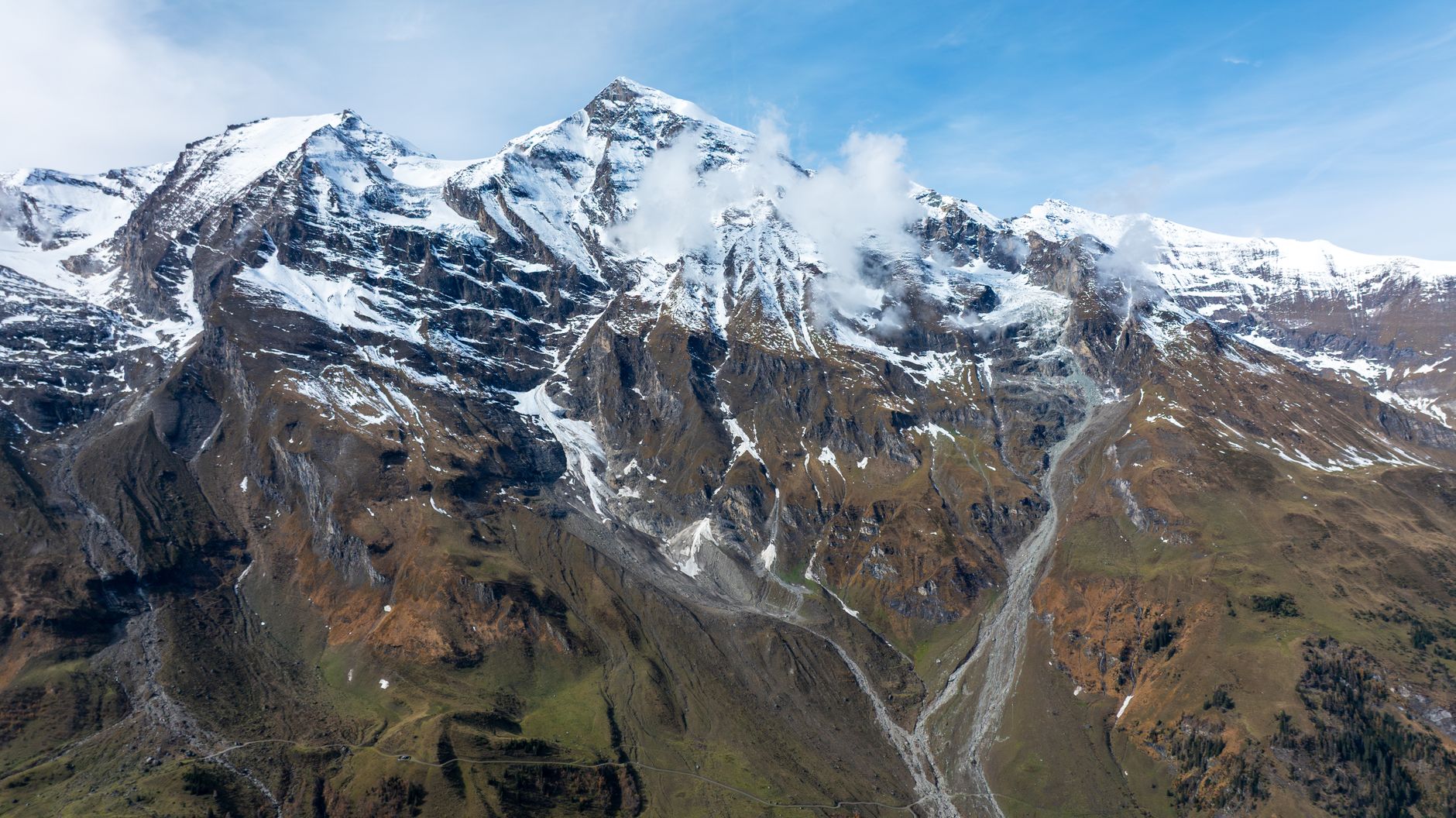
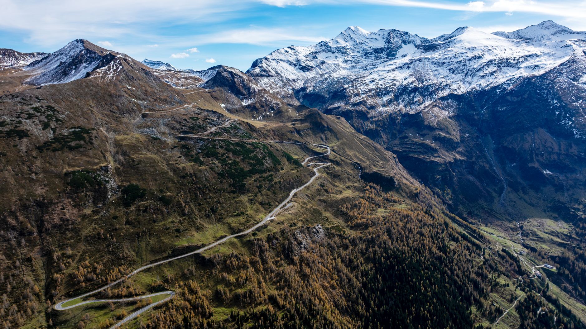
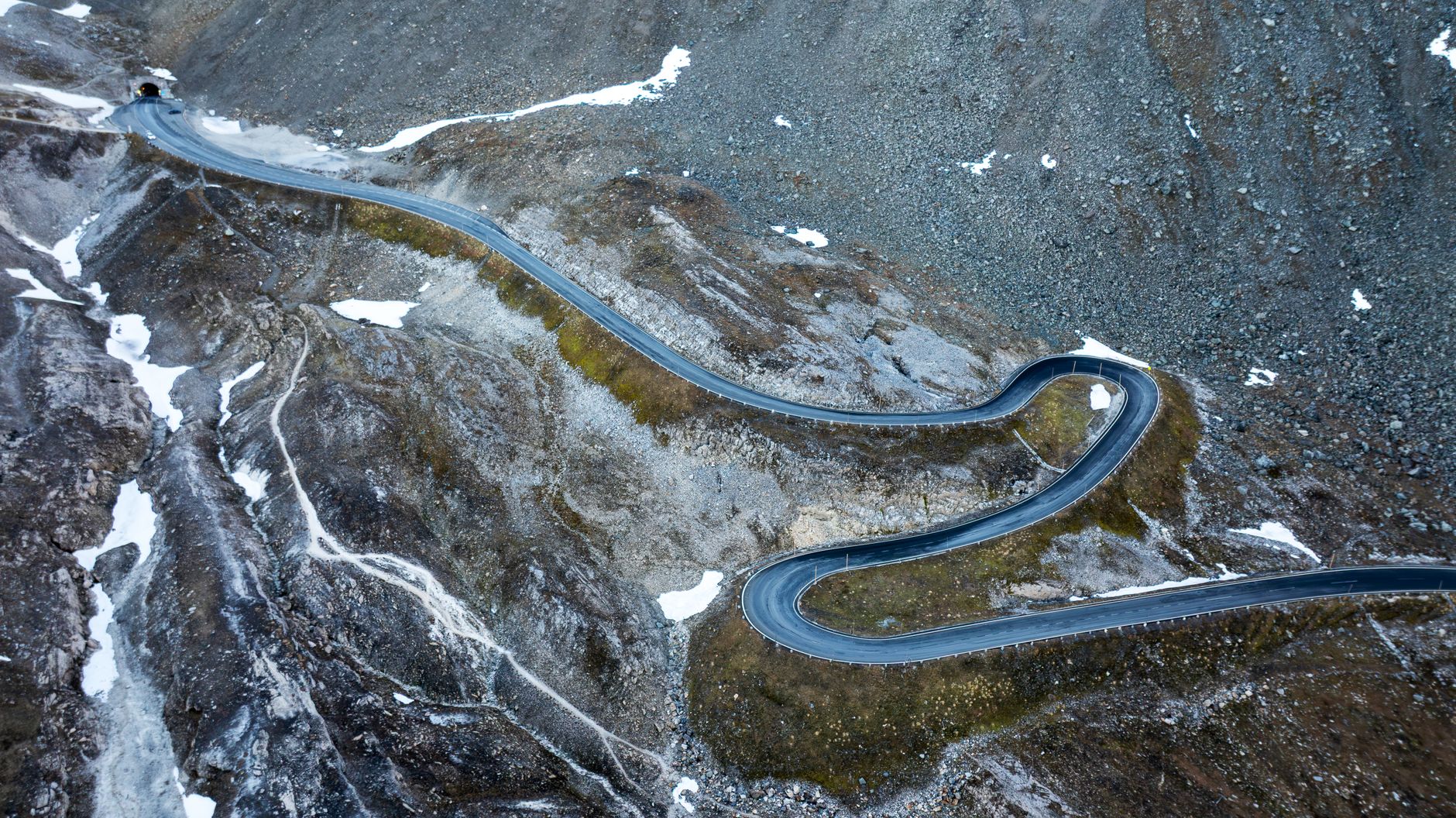
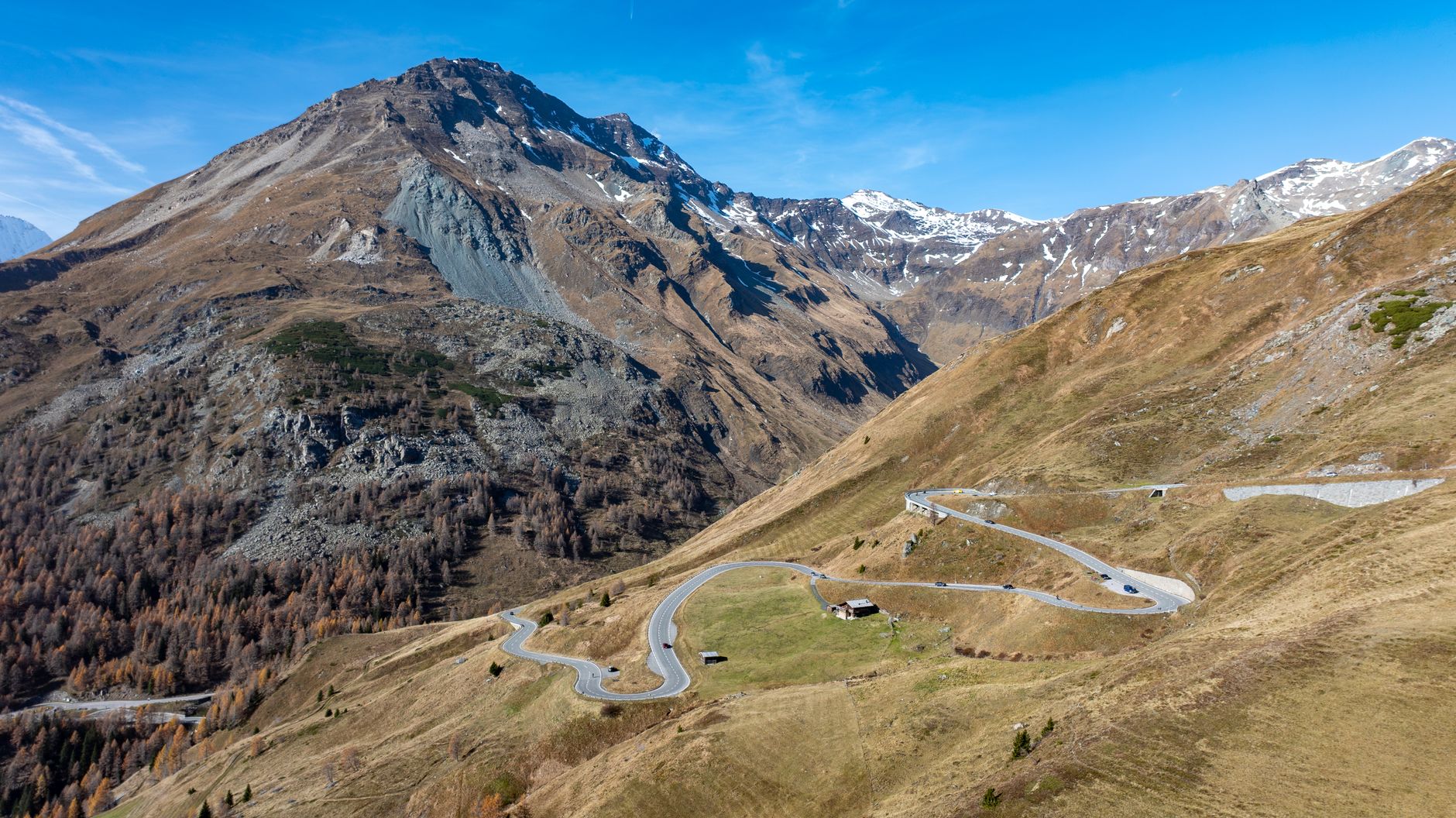
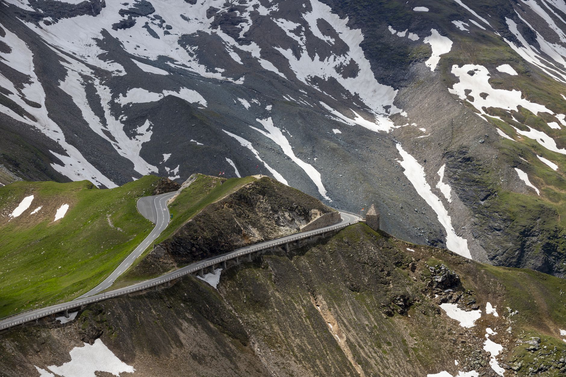
Austria's highest peak — 3,798 metres of glacier-streaked limestone on the border of Carinthia and Salzburg — has a way of making everything else feel small. The Grossglockner region is organised around that fact. The 48-kilometre High Alpine Road threads 36 hairpin curves between Bruck and Heiligenblut, cresting the Hochtor Pass at 2,504 metres, and the mountain itself draws climbers from across the continent to its 50-plus ascent routes.
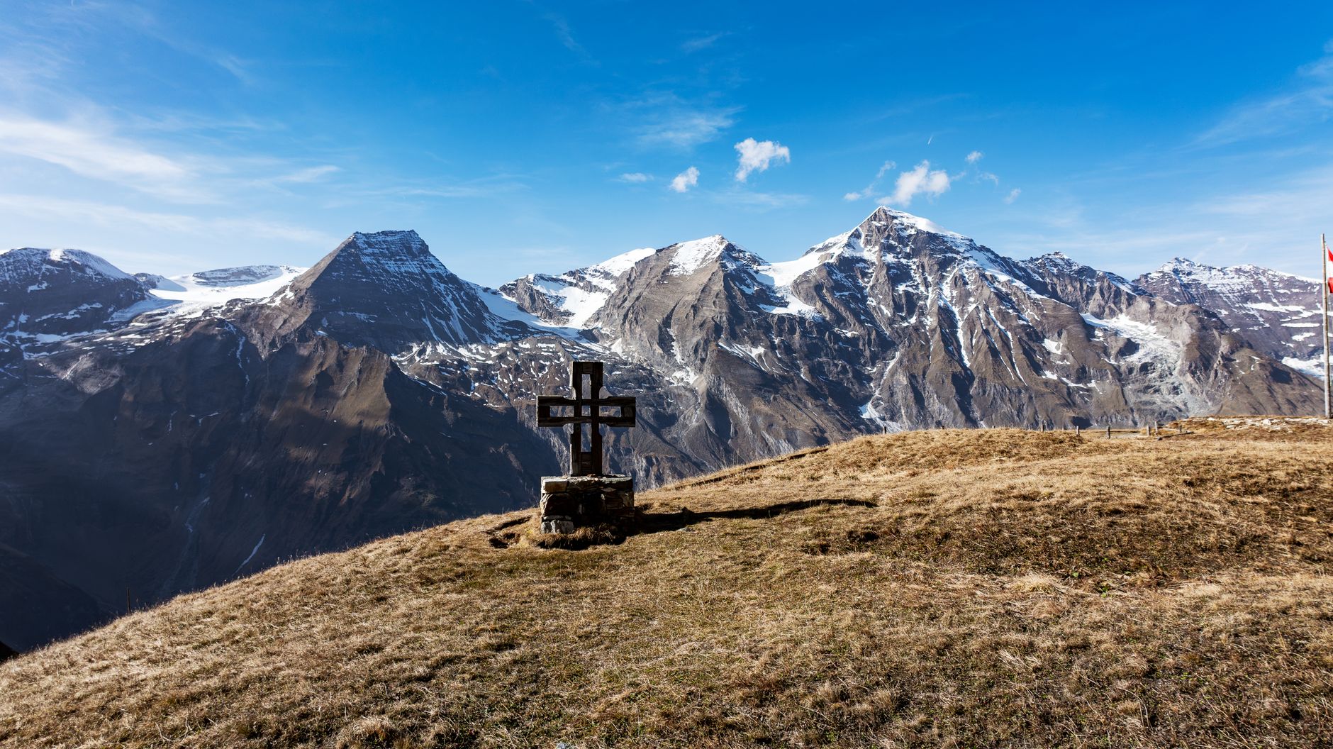
This is not a place you pass through accidentally. You come because the scale is the point — the Pasterze glacier filling the valley below Franz-Josefs-Höhe, the summit cross catching light at 3,798 metres, the long views east toward Styria and west toward the Tyrolean peaks.
💛 What travellers fall for
People who return tend to time the High Alpine Road for early June or October, when the coaches thin out and the light sits low across the snowfields. The branch road to Franz-Josefs-Höhe is worth the detour even if the summit clouds over — the Pasterze view alone earns the drive. Book the Erzherzog-Johann-Hütte well ahead if you're attempting the summit.
How Grossglockner came to be
The name appears on a Viennese cartographer's map as early as 1561, but the mountain stayed unclimbed until 28 July 1800, when the Klotz brothers of Heiligenblut reached the summit alongside two local carpenters and a priest named Horasch. A wooden cross went up the following morning. The iron Emperor's Cross that stands there today — three metres tall, 300 kilograms — was placed by Kals mountain guides on 2 October 1880 in honour of Franz Joseph I and Empress Elisabeth, and was designated a listed monument in 2024.
The High Alpine Road is a more recent act of ambition. Engineer Franz Wallack designed it; Salzburg governor Franz Rehrl pushed it through politically; and on 3 August 1935, President Wilhelm Miklas inaugurated the finished road. Grossglockner only became Austria's highest mountain in 1919, when the Treaty of Saint-Germain transferred the taller Ortler to Italy.
Who and what shaped it
People who shaped it
Landmark buildings
See Grossglockner in motion
Plan your visit
On the map
When to go
Summer brings the crowds and the rain in roughly equal measure — July averages 203 mm of precipitation and daily temperatures around 10–11°C at altitude, so layers and waterproofs are non-negotiable whatever the forecast says. The road closes entirely from November through April, and even in May and October you should expect snow above 2,000 metres.
Right now
Background & history adapted from Wikipedia (CC BY-SA) · specs from Wikidata (CC0) · weather from Open-Meteo · map data © OpenStreetMap contributors · photos from Wikimedia Commons / Unsplash with per-image credit. No third-party reviews or social posts reproduced.