
Great Blue Hole
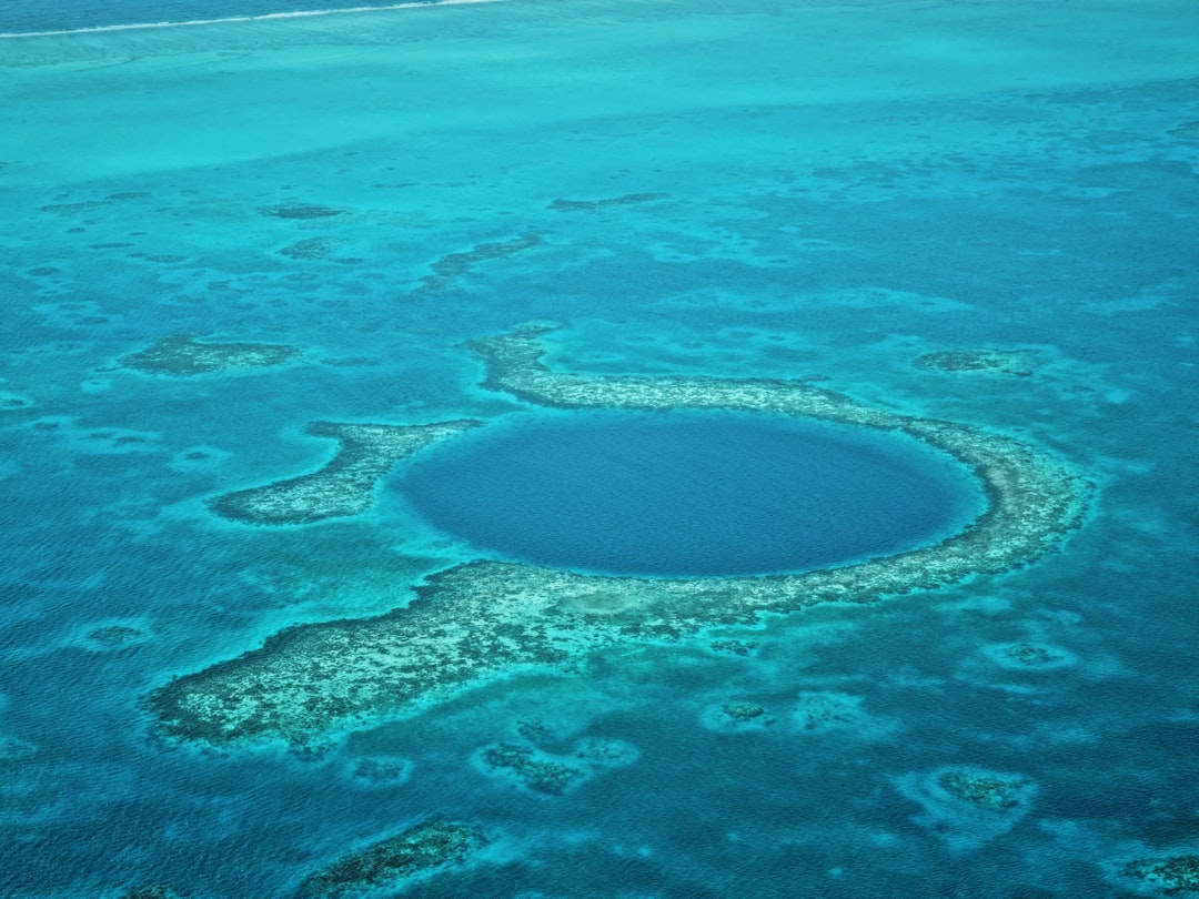
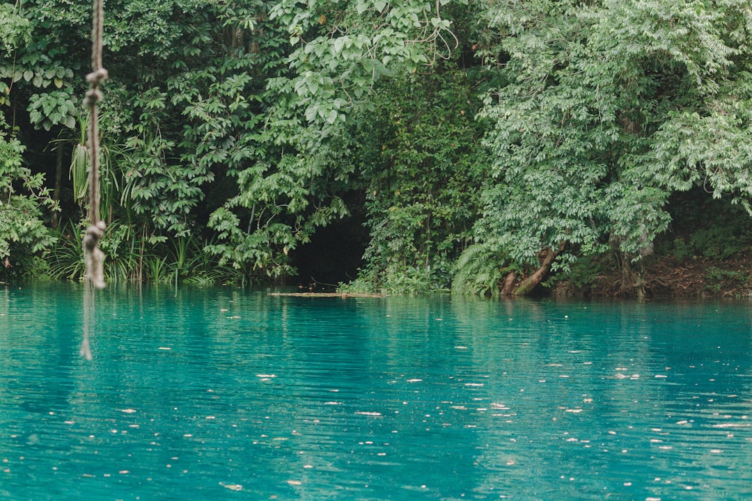
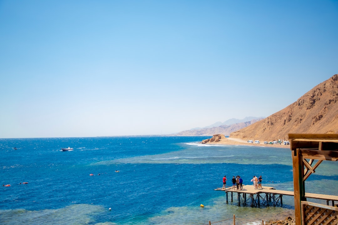
Seventy kilometres off the Belizean coast, a near-perfect circle of deep indigo sits inside the pale turquoise of Lighthouse Reef atoll — 318 metres across and dropping 124 metres straight down. From the air it looks almost artificial, a pupil in the eye of the sea. Underwater, the geometry shifts: the shallow reef rim gives way abruptly to a near-vertical wall, and at around 40 metres the world's largest known underwater stalactites hang in the darkness, formed when this was a dry limestone cave tens of thousands of years ago.
This is not a reef dive. There is little coral inside the hole, and marine life is sparse compared to the surrounding atoll. What draws divers here is the geological theatre — the wall, the stalactites, the sharks drifting through the blue — and the particular quality of descending into something that old.
How Great Blue Hole came to be
The hole began forming during the Quaternary ice ages, when sea levels were far lower and the chamber existed as a dry limestone cave. Stalactite analysis has dated distinct phases of formation to roughly 153,000, 66,000, 60,000, and 15,000 years ago. As glaciers melted and oceans rose, the cave flooded and its roof eventually collapsed, leaving the circular sinkhole visible today.
For most of the world, the site only acquired a name and a reputation in 1971, when Jacques Cousteau brought his ship Calypso to chart its depths and declared it one of the top five dive sites on earth. A 1997 expedition collected sediment cores from the floor; in December 2018, two submarines used sonar scanning to produce the first near-complete three-dimensional map of the interior — also confirming a layer of hydrogen sulphide at around 91 metres, below which the water turns anoxic and dark.
Who and what shaped it
People who shaped it
See Great Blue Hole in motion
Plan your visit
On the map
When to go
The dry season runs from late November to mid-April, but the sweet spot for the Blue Hole specifically is April through June, when seas tend to be calm and underwater visibility can exceed 30 metres. The rainy season (May to November) brings the risk of swells and reduced visibility, and operators will sometimes cancel trips on short notice — check conditions the evening before you go.
Right now
Background & history adapted from Wikipedia (CC BY-SA) · specs from Wikidata (CC0) · weather from Open-Meteo · map data © OpenStreetMap contributors · photos from Wikimedia Commons / Unsplash with per-image credit. No third-party reviews or social posts reproduced.