
Region

Graubünden (Grisons)
Graubünden (Grisons)
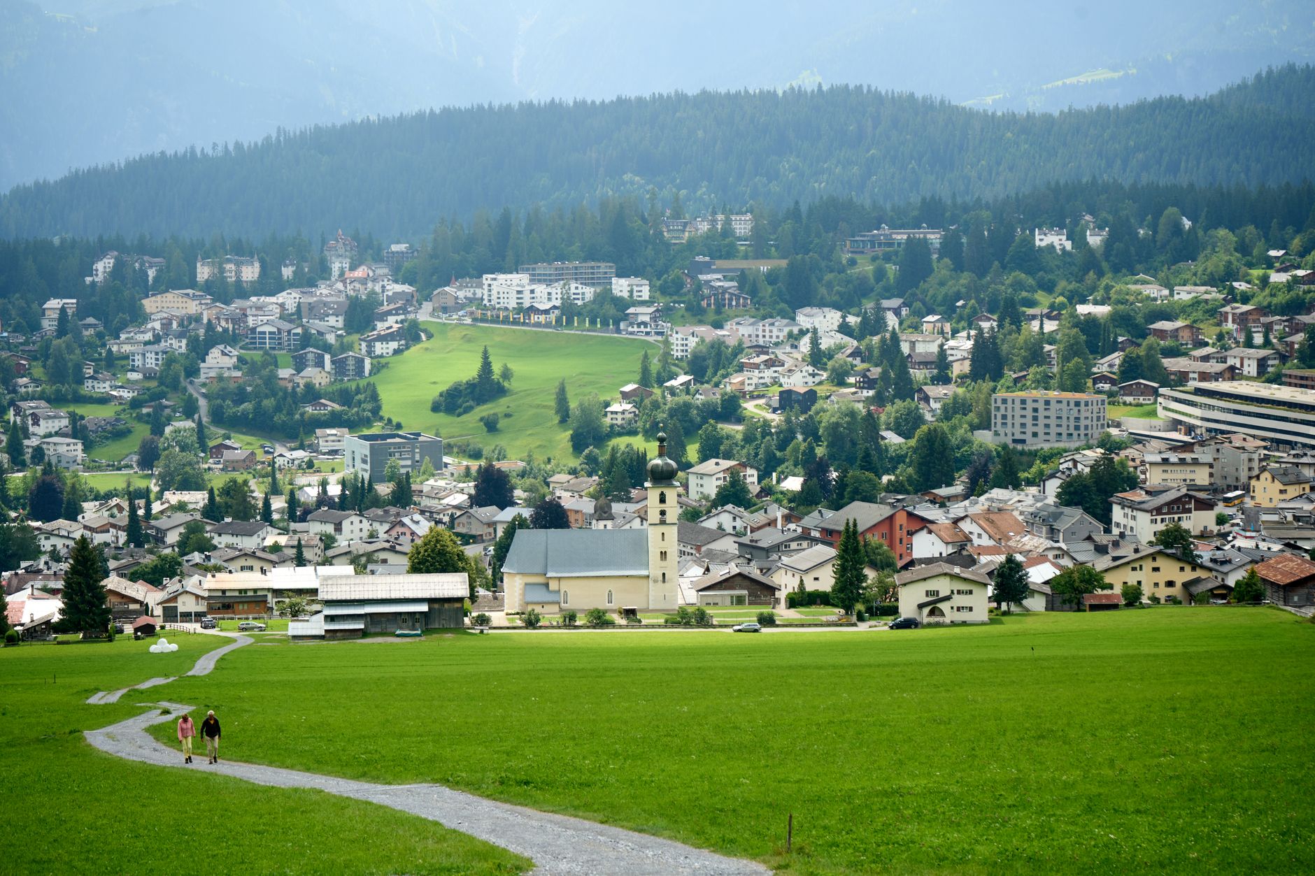
Photo by Alexandru MnM on Pexels
Graubünden (Grisons)
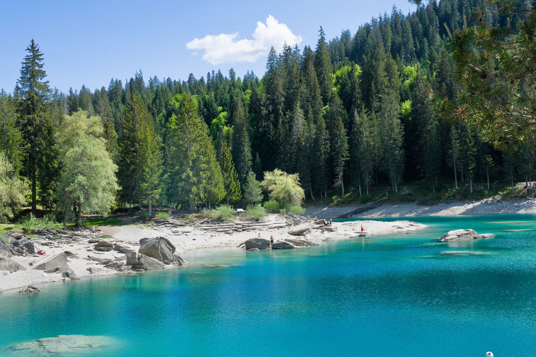
Photo by Jean-Paul Wettstein on Pexels
Graubünden (Grisons)
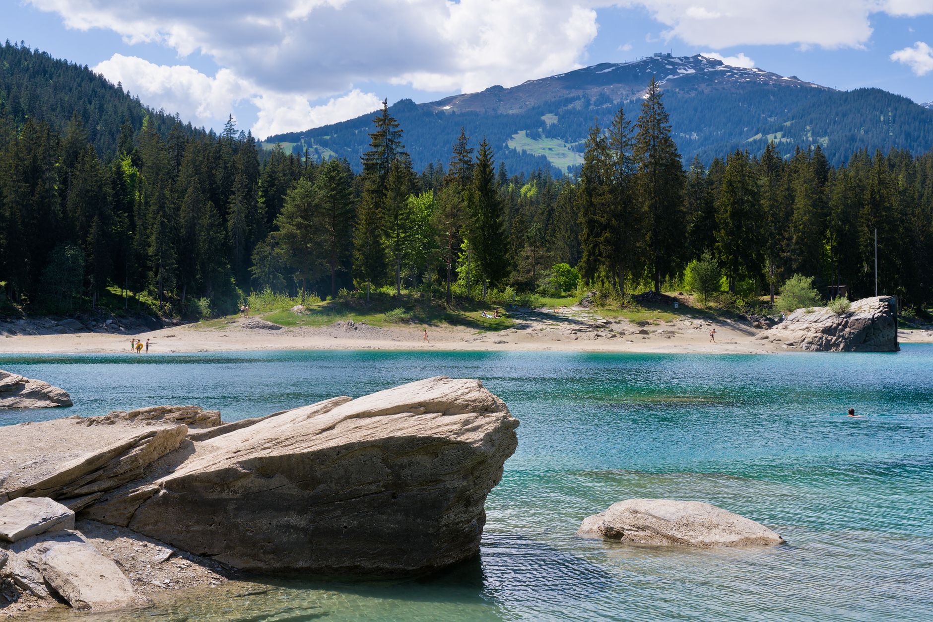
Photo by Valentine Kulikov on Pexels
Graubünden (Grisons)
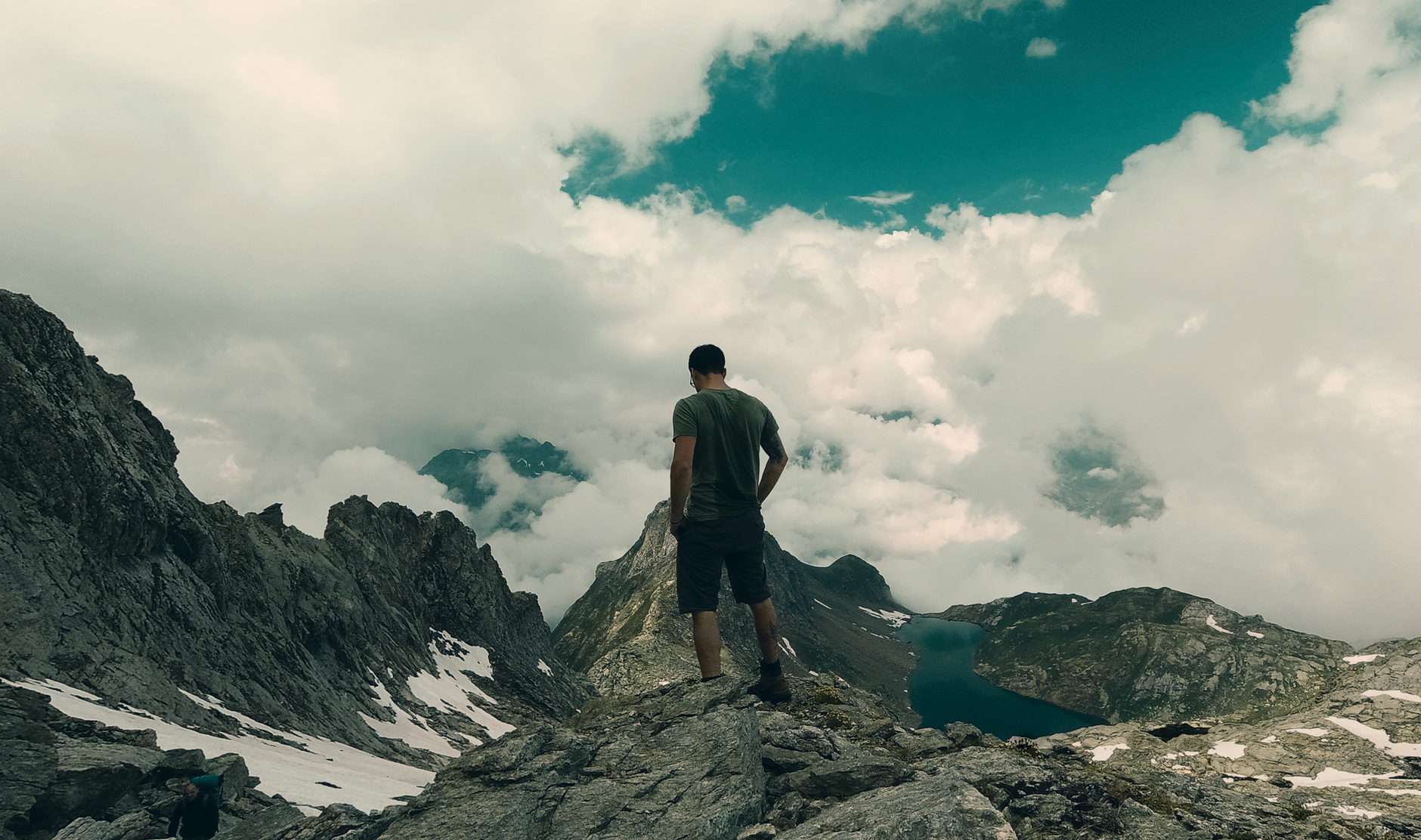
Photo by Jean-Paul Wettstein on Pexels
Graubünden (Grisons)
Photo by Jean-Paul Wettstein on Pexels
Graubünden (Grisons)
Photo by Simon Sto FPV on Pexels

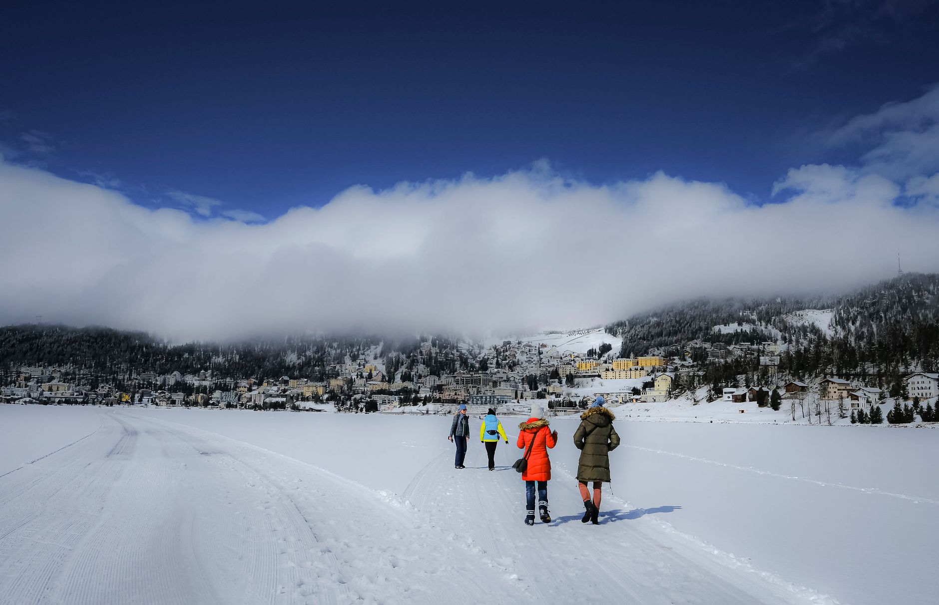
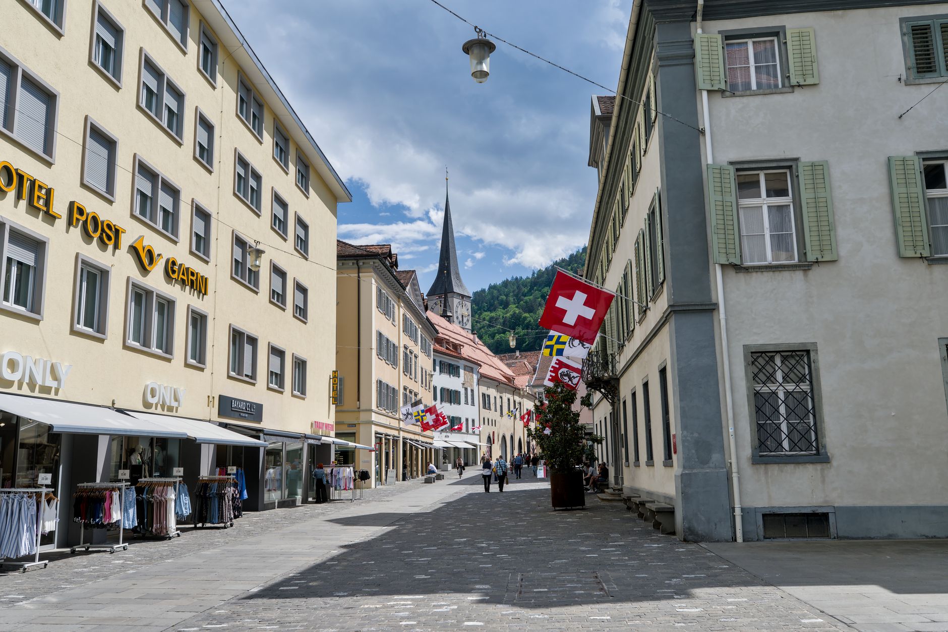
Graubünden is Switzerland's largest canton and its most linguistically tangled — German, Romansh and Italian are all official here, which tells you something about the valleys and the people who stayed in them. The landscape is not a single postcard but dozens: the bare granite of the Engadine, the larch forests of the Bergell, the thermal quartzite of Vals, the vine terraces above the Rhine. Roughly a third of the terrain sits above 2,000 metres, and the population is thin enough that wilderness is the default, not the exception.

The canton has an unlikely density of serious architecture — Peter Zumthor built his most celebrated work here, and the tradition runs from a Roman-era shelter in Chur to a 1929 concrete bridge that still looks like it belongs to the future. Alberto Giacometti was born in the Bergell and is buried there. The place has a habit of producing, or attracting, people who think carefully about form.

Good to know
Chur, the cantonal capital, is the rail hub — direct trains connect it to Zurich in under 90 minutes. The Rhaetian Railway threads deep into the valleys from there. Summer and winter both work; spring and autumn are quieter and cheaper. The canton is large: plan around one or two valleys rather than trying to cross the whole thing.
The story

How Graubünden (Grisons) came to be

The valleys were Raetian territory long before Rome arrived, and Chur shows evidence of settlement stretching back to around 3900 BC. The Romans formalised things in 15 BC with the province of Raetia. Medieval power here was fragmented among bishops, counts and village communes, and the eventual response was collective: three separate leagues formed between 1367 and 1436, each resisting a different concentration of outside authority. The Grey League gave its name — its men wore homespun grey cloth — to the whole territory: Graubünden, the Grey Leagues.

On 23 September 1524 the three leagues united as the Free State of the Three Leagues. The following century brought the Bündner Wirren (1618–1639), a period of factional violence that made the region a proxy battleground during the Thirty Years' War. After a brief, unwilling inclusion in Napoleon's Helvetic Republic, Graubünden entered the Swiss Confederation in 1803 as a full canton.

People & landmarks

Who and what shaped it

People who shaped it

Peter Zumthor
Swiss architect born 1943; designed 7132 Therme in Vals (1996), a chapel in Somvitg (1984), and a Roman archaeological shelter (1986); won Pritzker Prize in 2009.
Alberto Giacometti
Sculptor and painter (1901–1966) born in Bergell Valley; altered 20th-century art from Paris studio; buried in native village near Stampa.
Johannes Ludwig
Self-taught Swiss architect (1815–1888) based in Chur; shaped the city's 19th-century urban landscape with neoclassical designs.
Robert Maillart
Swiss architect-engineer (1872–1940); designed Salginatobel Bridge (1929–31), a reinforced concrete span 135m long and 90m above a stream near Klosters.
Angelica Kauffman
18th-century leading woman artist; native to Chur; holdings in Bündner Kunstmuseum.

Landmark buildings

7132 Therme
Thermal spa in Vals designed by Peter Zumthor (1996); built from 60,000 local quartzite slabs; granted protected heritage status within two years.
Cathedral of the Assumption
Built 1151–1272 in Chur; draws on stylistic influences from across Europe.
Salginatobel Bridge
Reinforced concrete bridge designed by Robert Maillart (1929–31) near Klosters; spans 135m while hovering 90m above a stream.
Segantini Museum
Opened 1908 in St. Moritz; architecture based on pavilion Segantini designed for 1900 Paris World Exhibition.
Chapel in Somvitg
Designed by Peter Zumthor (1984) after avalanche destroyed baroque predecessor; independent architectural work.
Roman Archaeological Shelter
Peter Zumthor project (1986) in Chur; built from timber lamella allowing light and ventilation into museum space.
Tarasp Castle
Oldest sections date from 11th century, built by leading family of Tarasp.
Rock Church
Designed by Werner Schmidt (1995); constructed from 108 wooden elements on foundation, covered with metal grid and shotcrete.
Palazzo Castelmur
Built 1723 for Johannes Redolfi in Coltura near Stampa; purchased and renovated by Baron Giovanni of Castelmur in 1850.
Practical

Plan your visit

On the map

When to go

Winters are cold and reliably snowy above 1,500 metres, with valley floors often sitting under temperature inversions that leave the summits sunny while Chur stays grey. Summers are warm and short at altitude — July and August are the stable months — with afternoon thunderstorms a near-daily feature from mid-July onward.

Right now

⛈️
16°C
Storm
Sat
⛈️
21°
14°
Sun
🌫️
20°
11°
Mon
⛈️
22°
10°
Tue
17°
10°
Weather data: Open-Meteo

Background & history adapted from Wikipedia (CC BY-SA) · specs from Wikidata (CC0) · weather from Open-Meteo · map data © OpenStreetMap contributors · photos from Wikimedia Commons / Unsplash with per-image credit. No third-party reviews or social posts reproduced.

Top