
Graubünden
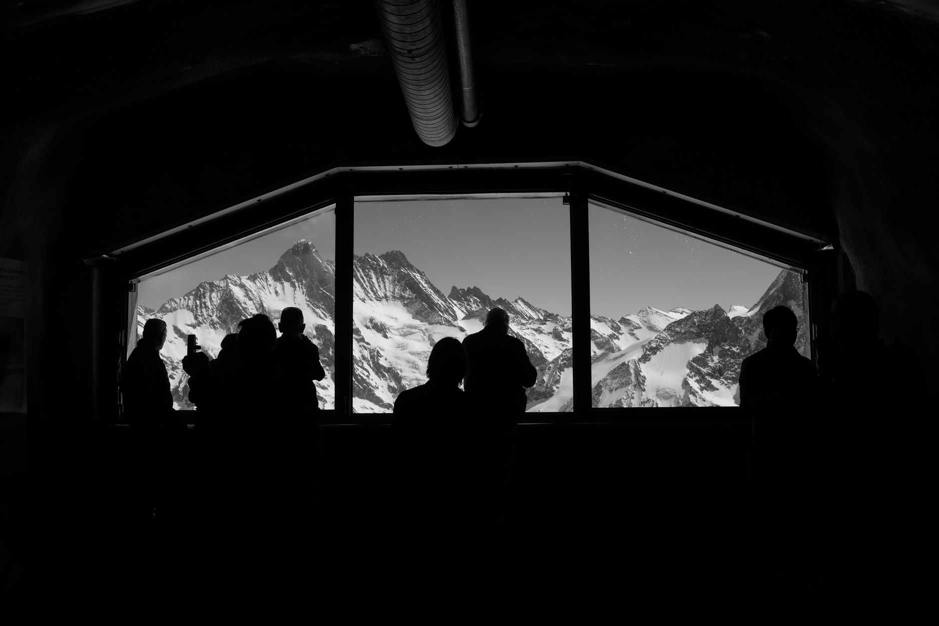
Graubünden is Switzerland's largest canton, and it earns that scale honestly: 150 valleys, three languages spoken as a matter of daily life (German, Romansh, Italian), and an architectural record that runs from an 8th-century monastery at Müstair to Peter Zumthor's thermal baths at Vals, built from 60,000 slabs of local quartzite and granted heritage protection within two years of opening.
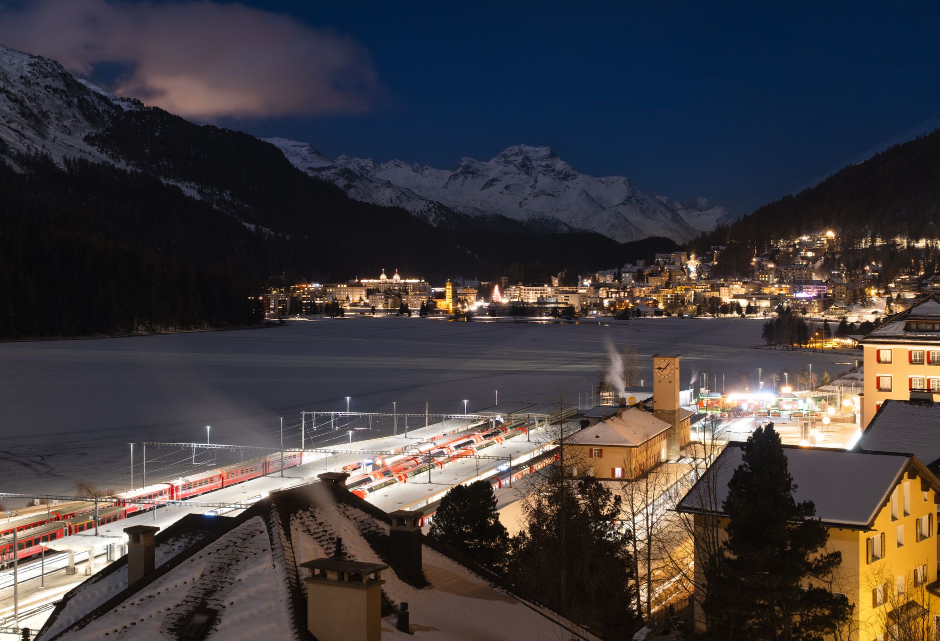
The region resists a single story. You can arrive by the Glacier Express from Zermatt or the Bernina Express from Tirano, both of which run on Rhaetian Railway tracks that are themselves a UNESCO World Heritage site. The capital, Chur, is the oldest city in Switzerland. Everything radiates outward from there.
How Graubünden came to be
Graubünden's political shape emerged from three separate leagues formed by local communities seeking self-governance. The League of God's House dates to 1367, the Grey League to 1395, the League of the Ten Jurisdictions to 1436. They merged in 1524 into the Republic of the Free State of the Three Leagues — a loose, contentious union that endured decades of factional violence during the Bündner Wirren between 1618 and 1639, a period in which the figure of Jörg Jenatsch played a central and turbulent role.
The Helvetic Republic absorbed the region in 1798; it became a Swiss canton in 1803 and formally joined the Confederation in 1815. Its current constitution dates to 1892. Motor vehicles were only permitted after a vote in 1926 — a detail that tells you something about how carefully the region has always weighed change against its own terms.
Who and what shaped it
People who shaped it
Landmark buildings
See Graubünden in motion
Plan your visit
On the map
When to go
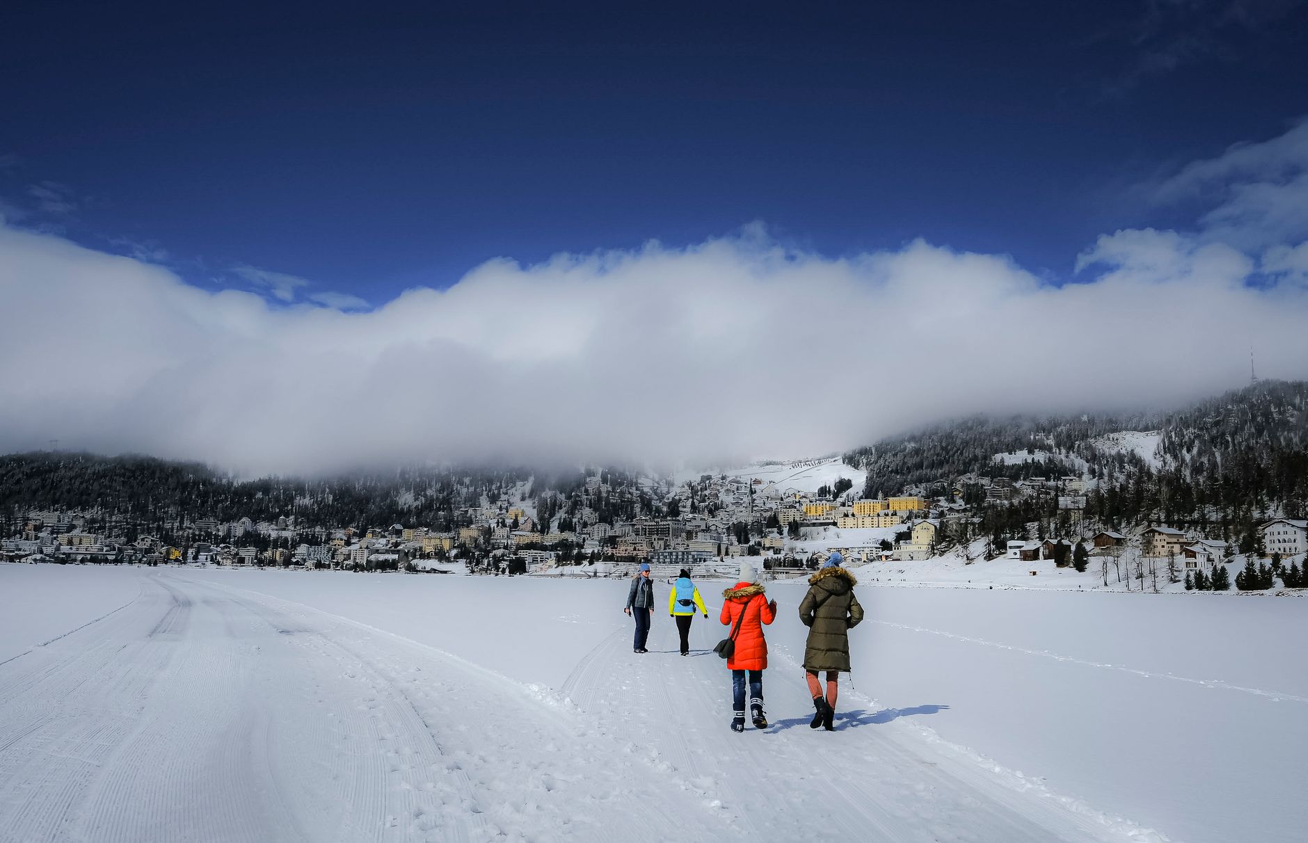
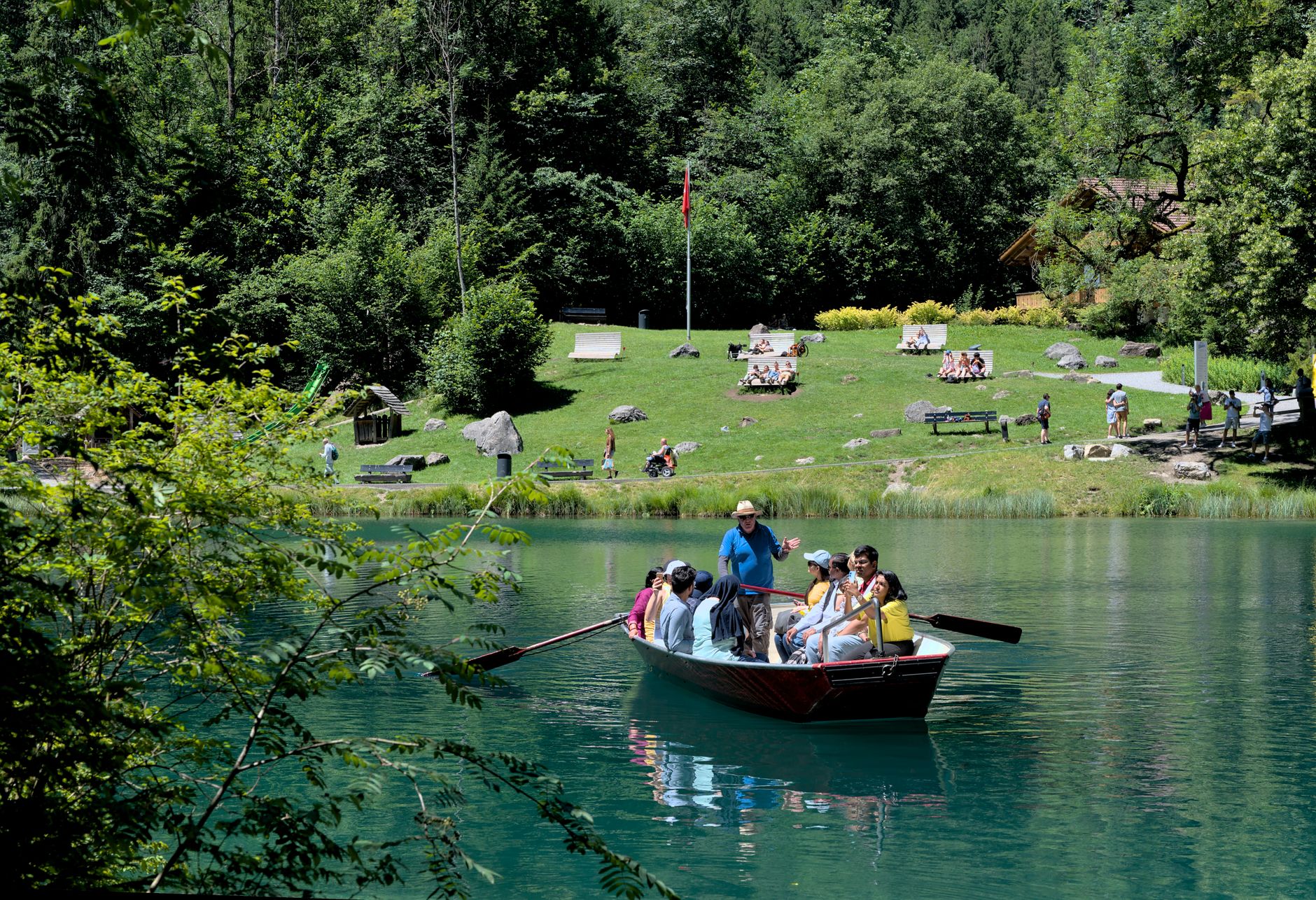
Winters are cold and reliably snowy at altitude, with valley floors often sitting below freezing from December through February. Summers are mild but punctuated by afternoon thunderstorms, particularly in July and August; the sheltered valleys tend toward a drier microclimate than the Swiss average.
Right now
Background & history adapted from Wikipedia (CC BY-SA) · specs from Wikidata (CC0) · weather from Open-Meteo · map data © OpenStreetMap contributors · photos from Wikimedia Commons / Unsplash with per-image credit. No third-party reviews or social posts reproduced.