
Grand Bahama Island
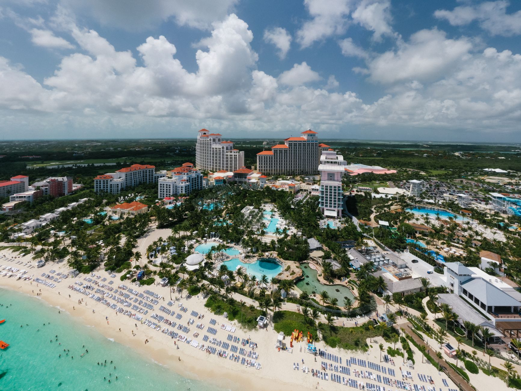
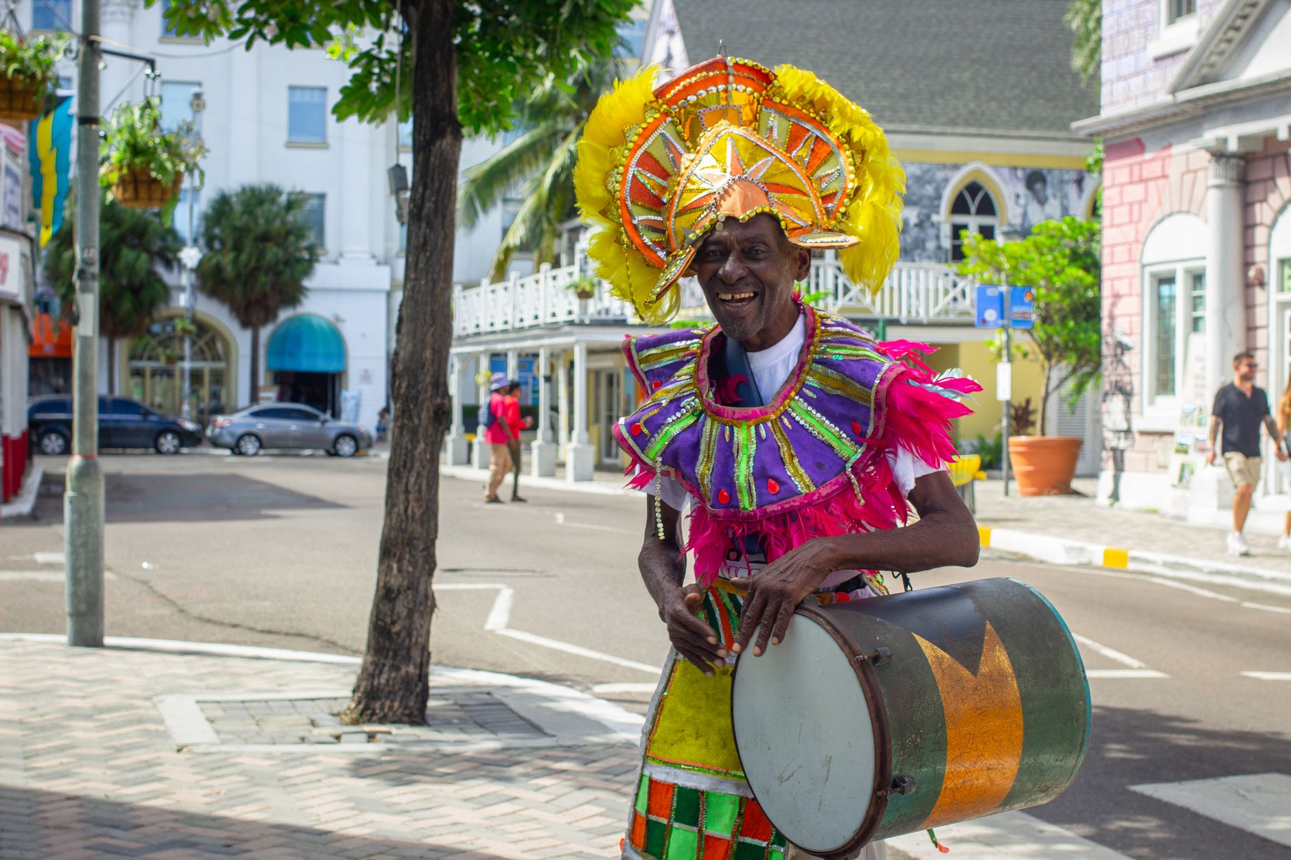
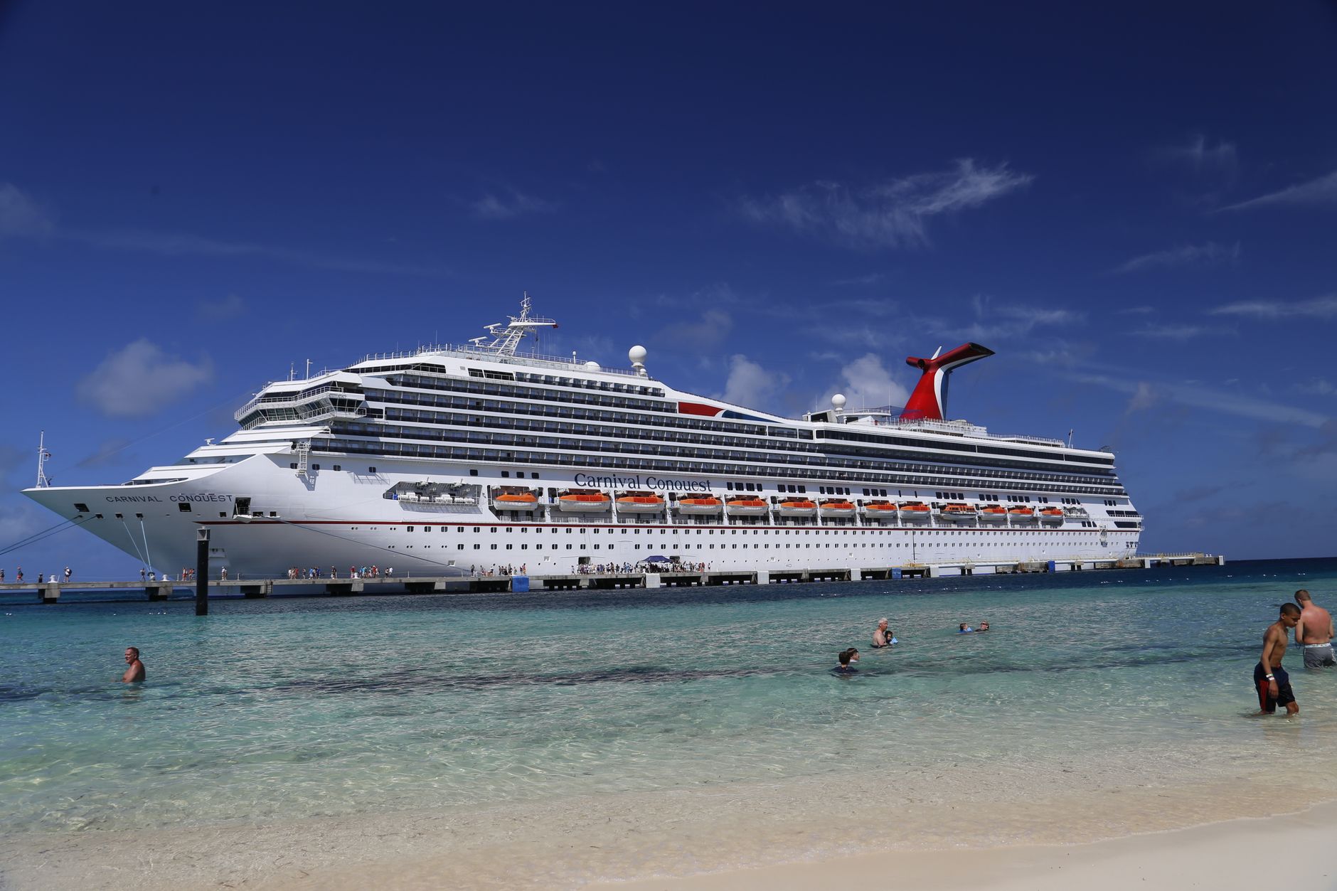
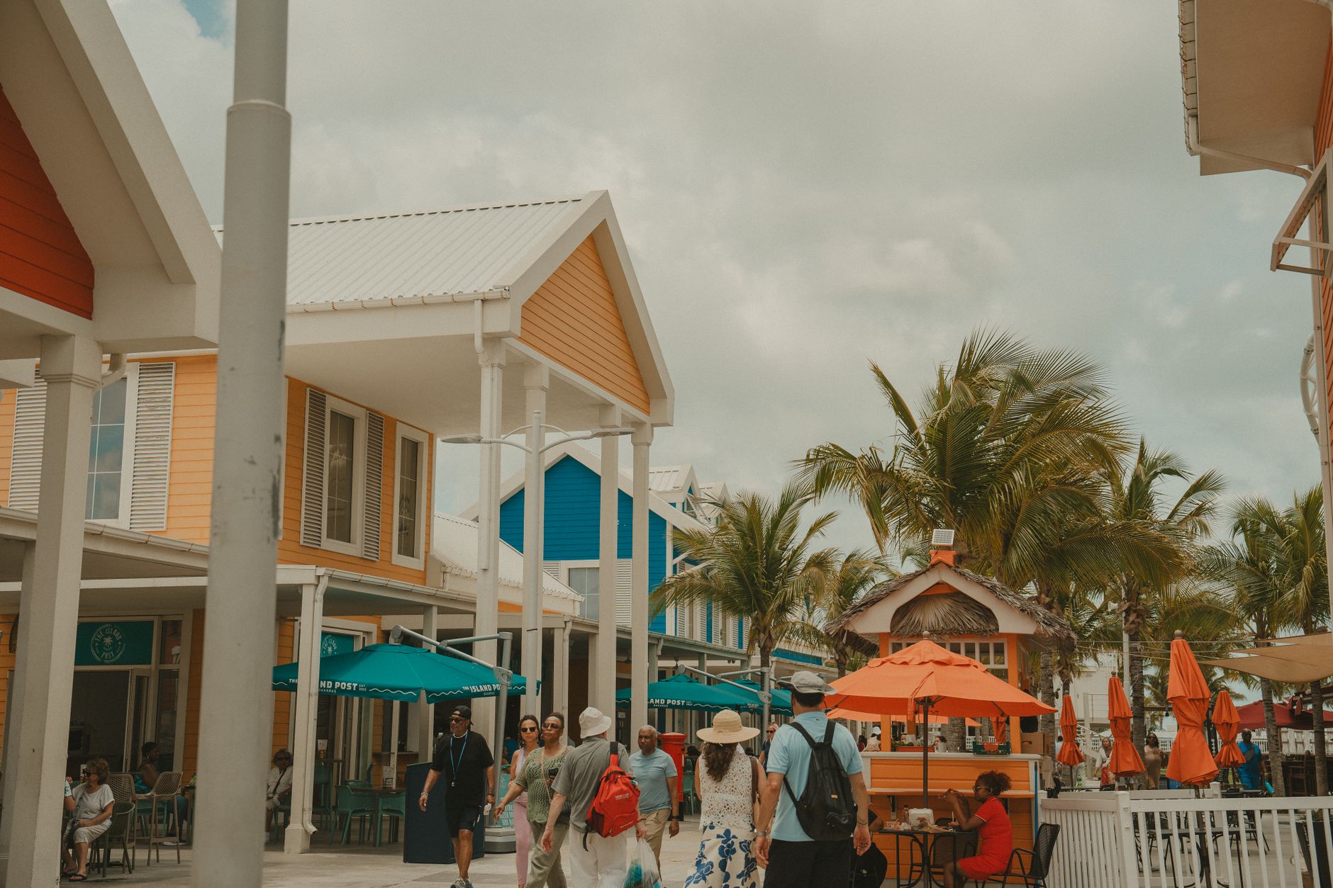
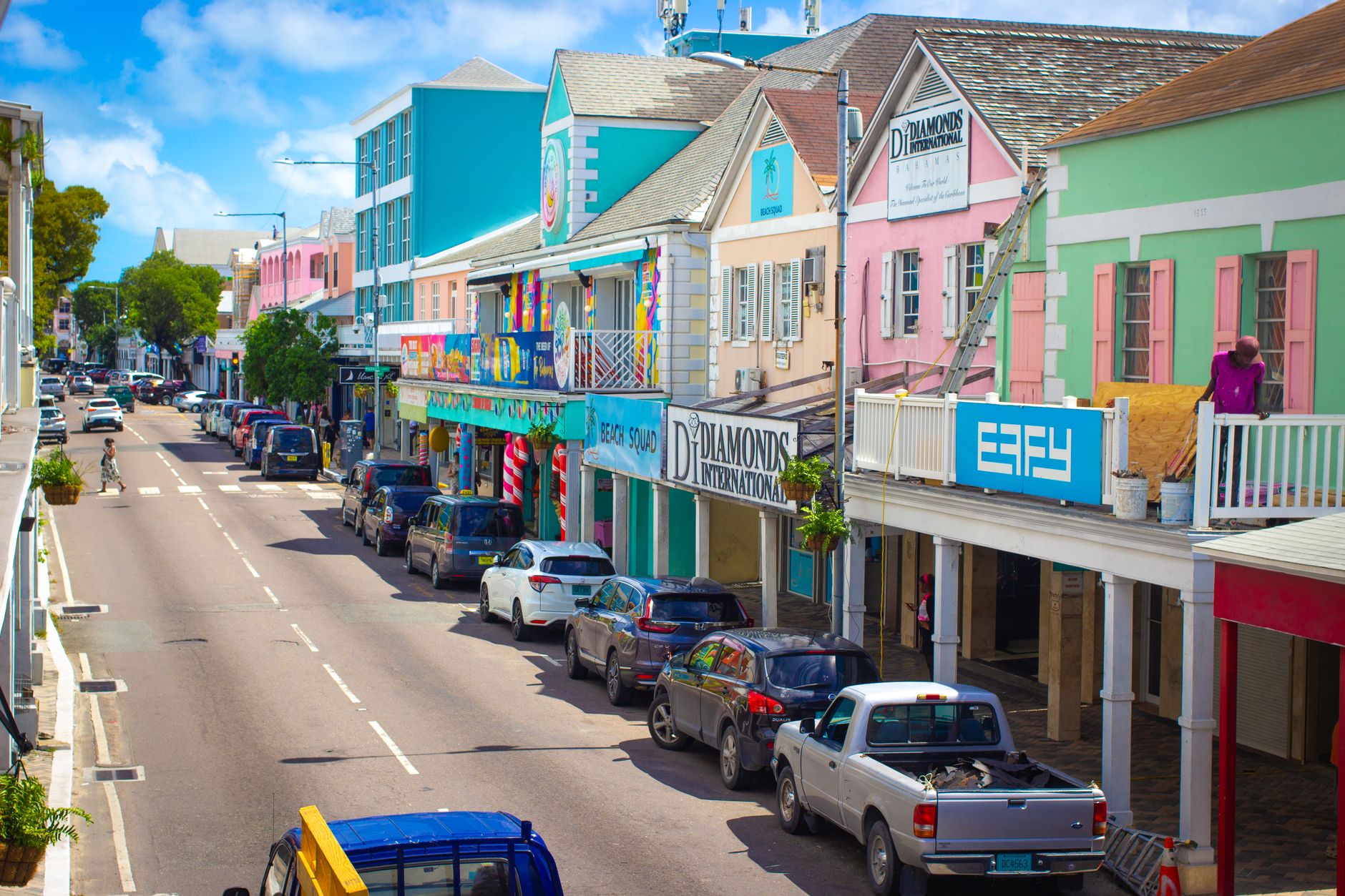

Grand Bahama sits closer to Florida than to Nassau — about 55 miles off Fort Lauderdale — which gives it a different rhythm from the rest of the Bahamas. You can be on the island in three hours by fast ferry from Port Everglades, or in under an hour by air, and that proximity shapes everything: the pace, the mix of visitors, the sense that you've crossed into somewhere genuinely foreign without crossing an ocean.
The island divides roughly into three registers. Freeport and Lucaya carry the infrastructure — airport, casino, marketplace, restaurants. East End opens into 60 miles of Caribbean yellow pine and palmetto forest, small pastel villages, white churches. Lucayan National Park holds one of the longest underwater cave systems in the world, mapped to more than six miles.
How Grand Bahama Island came to be
The Lucayan Arawaks were living here, in a population of roughly 4,000, when European contact arrived in the late 15th century. The island changed hands through colonial arrangements — Charles II granted the Bahamas to the Lords Proprietors of the Carolinas in 1670 — and spent long stretches as a backwater. During Prohibition, West End briefly mattered: it was a waystation for liquor running into the United States. A British resort developer tried to build at West End in the late 1940s, got as far as a 1,000-guest facility and a new airport before the money ran out after a single season in 1950.
The modern island is largely the invention of one deal: the 1955 Hawksbill Creek Agreement, in which Virginian financier Wallace Groves and the Bahamian government created the city of Freeport from scratch, along with the Grand Bahama Port Authority. Developer Edward St. George later added a harbour and, in 1962, what became Port Lucaya. In September 2019, Hurricane Dorian — Category 5, 180mph sustained winds — stalled over the island for two days and submerged at least 60 percent of it, damaging or destroying nearly half of all homes. Recovery has been slow and uneven, and that history sits just beneath the surface of the place you visit today.
Who and what shaped it
People who shaped it
Landmark buildings
See Grand Bahama Island in motion
Plan your visit
On the map
When to go
The dry season runs November through April, with winter highs around 28°C (82°F) and cooler nights that can dip to 19°C (66°F) — the most comfortable window for being outside. May through October is hotter and wetter, with the genuine risk of hurricanes from August onward.
Right now
Background & history adapted from Wikipedia (CC BY-SA) · specs from Wikidata (CC0) · weather from Open-Meteo · map data © OpenStreetMap contributors · photos from Wikimedia Commons / Unsplash with per-image credit. No third-party reviews or social posts reproduced.