
Gran Canaria
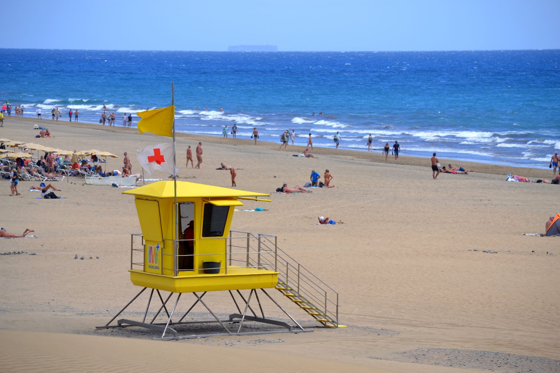
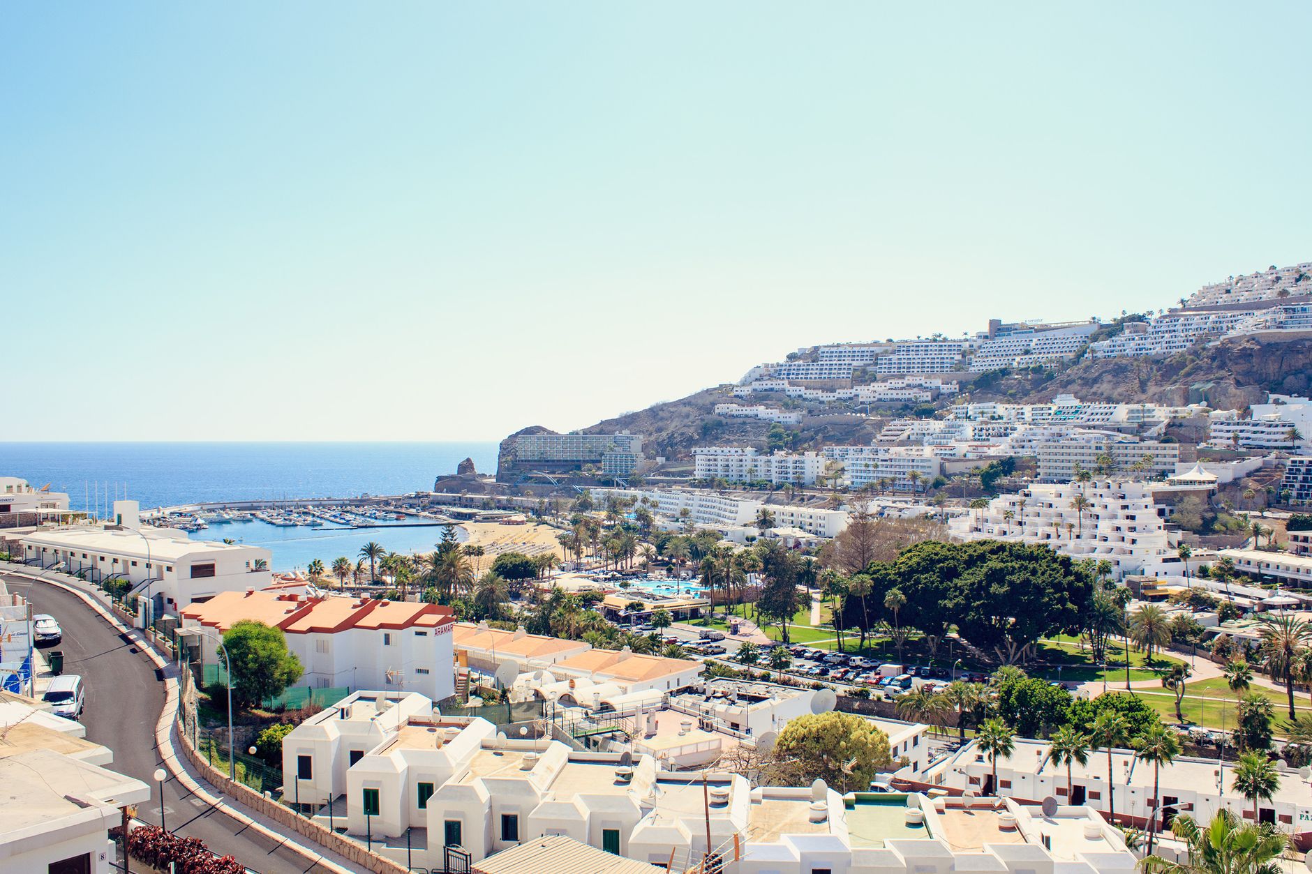
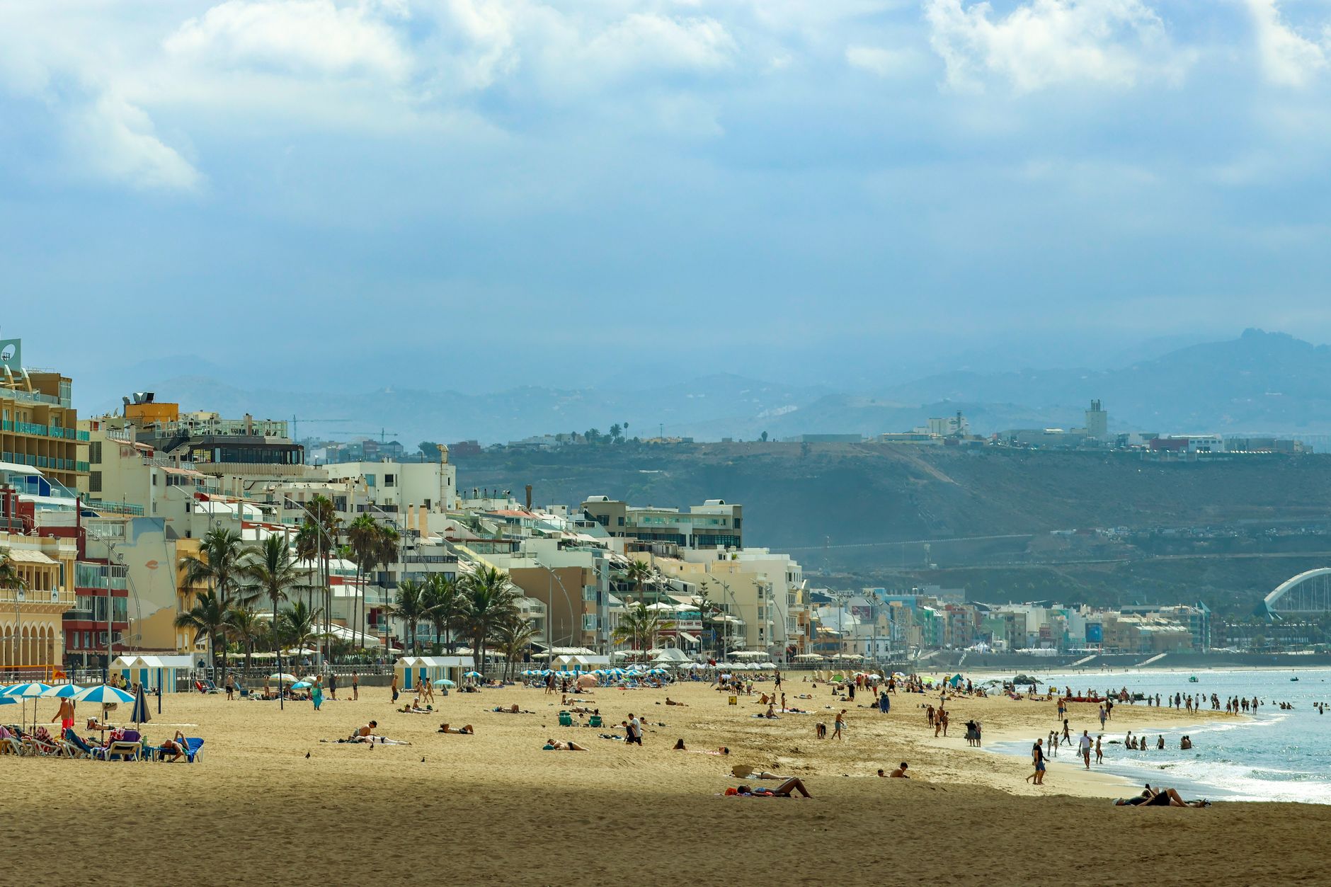
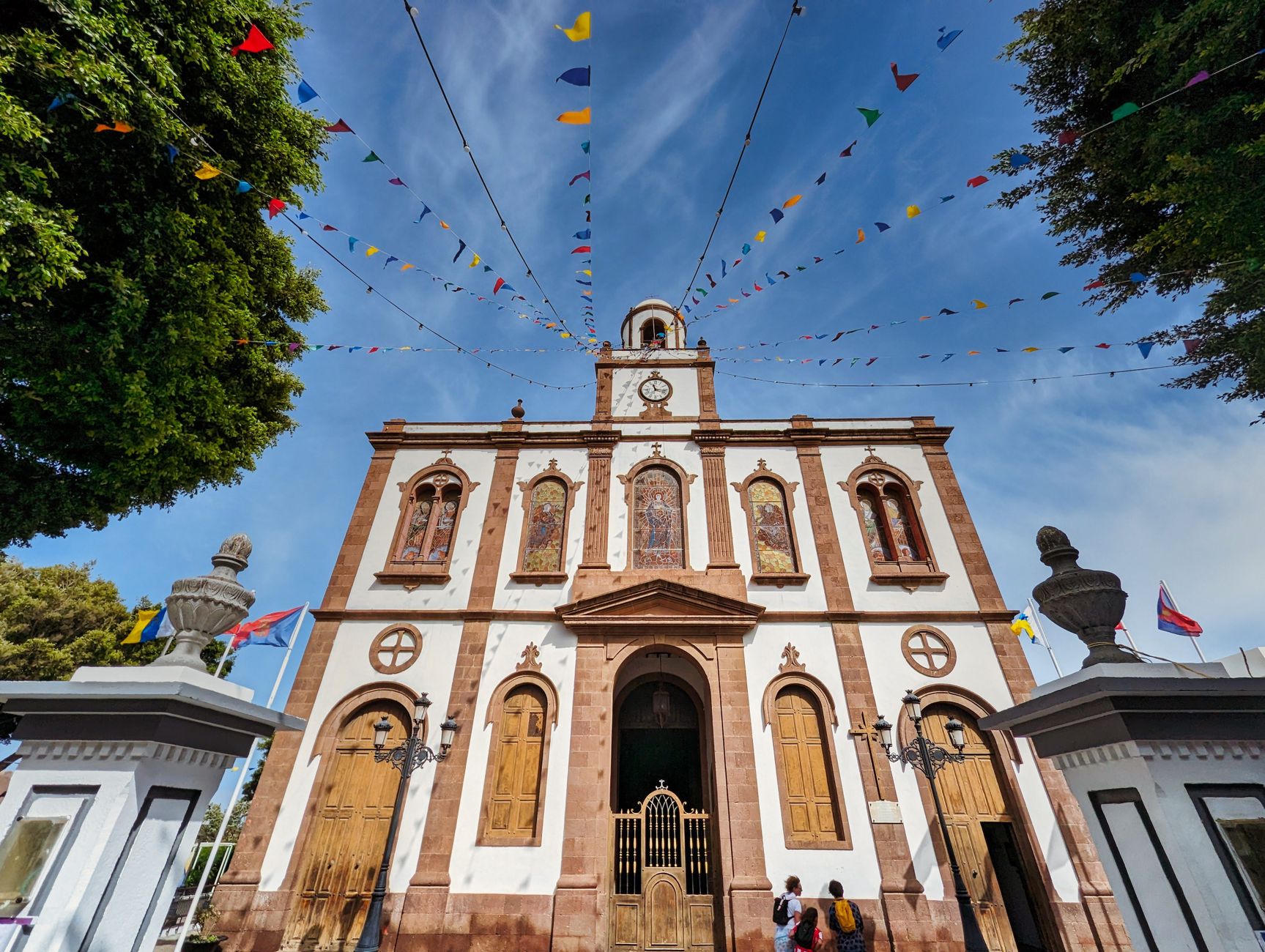
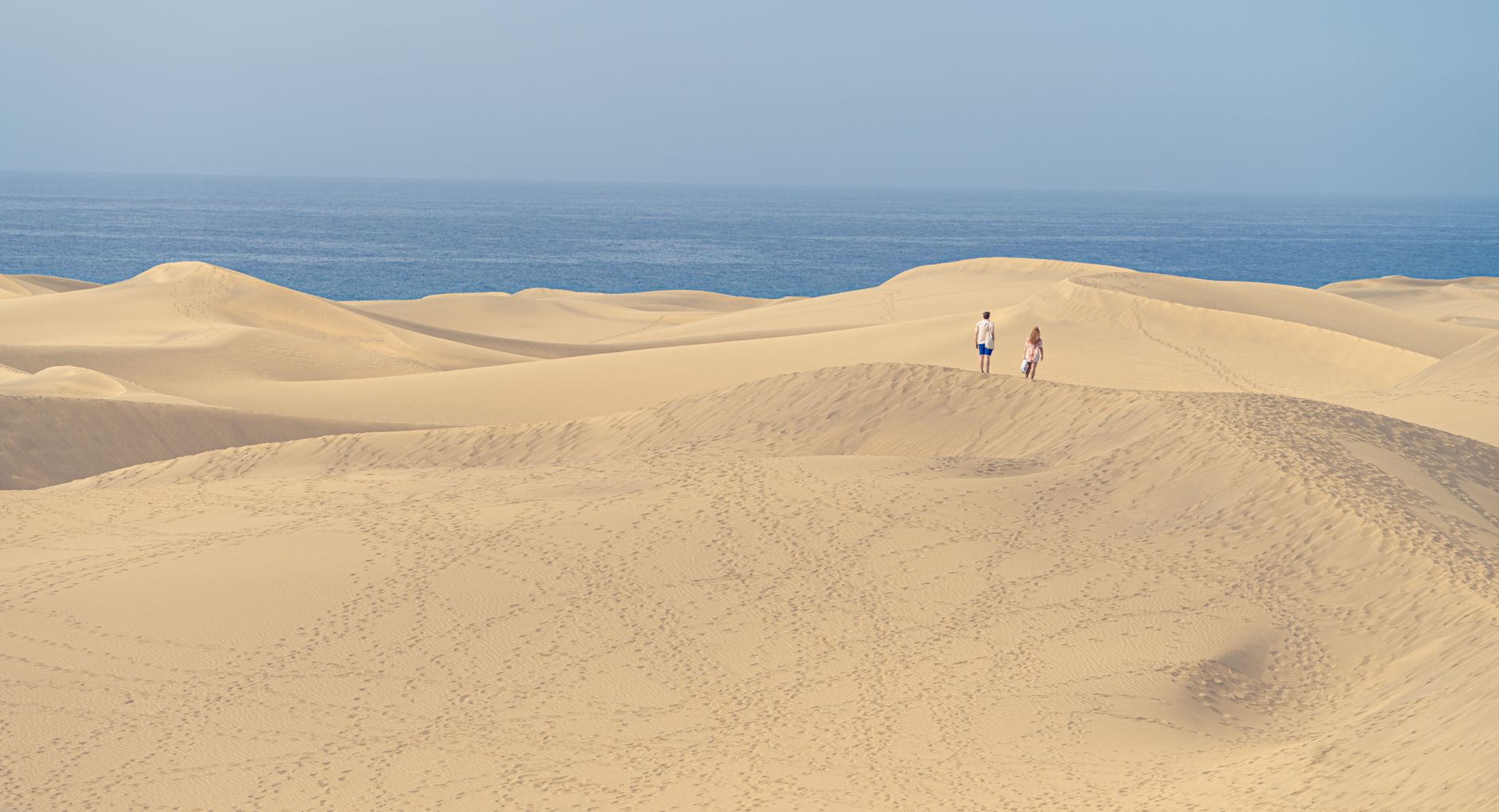
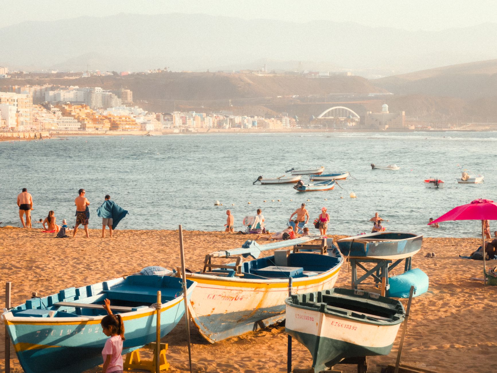
Gran Canaria sits in the Atlantic about 150 kilometres off the West African coast, yet it belongs, administratively and emotionally, to Spain. The island is roughly circular and rises sharply from coastal dunes and resort strips to a mountainous interior where the village of Tejeda sits at nearly 1,000 metres, and an 80-metre volcanic monolith called Roque Nublo punctuates the sky above it. Two climates, two landscapes, one island — the contrast is the whole point.
Las Palmas, the capital, anchors the northeast with a proper city's weight: a cathedral that took four centuries to finish, a historic quarter where the Spanish first set foot in 1478, and a long urban beach that locals actually use. The south is where mass tourism landed — literally, with a Swedish charter flight on Christmas Day 1957 — and it has been building ever since.
💛 What travellers fall for
People who come back tend to split their time deliberately: a few nights in Las Palmas for the Vegueta lanes, the Casa de Colón, and dinner somewhere around the Triana market, then a drive up through the caldera to Tejeda before dropping south. The interior road alone justifies a return.
How Gran Canaria came to be
The island was settled around 500 BC by people of Berber origin from North Africa. The Spanish arrived in force in 1478, when the Castilian commander Juan Rejón founded what would become Las Palmas de Gran Canaria on 24 June of that year. The conquest was not quick — it took five years of war before the Crown of Castile formally completed it on 29 April 1483, under Queen Isabella I. Fourteen years later, Christopher Columbus anchored in the port of Las Palmas in 1492, pausing on his first crossing to the Americas while his ship was repaired; the governor's house where he is believed to have stayed is now the Casa de Colón museum.
The island's modern shape as a tourism destination came later and fast. Gran Canaria Airport opened in 1930, but organised mass tourism effectively began on Christmas Day 1957, when a Swedish airline called Transair AB landed 54 passengers on a charter flight. In 1927, the Canary Islands were divided into two provinces, and Las Palmas became the capital of the eastern one, covering Gran Canaria, Lanzarote, and Fuerteventura. Autonomous government followed in 1982.
Who and what shaped it
People who shaped it
Landmark buildings
See Gran Canaria in motion
Plan your visit
On the map
When to go
The coast runs subtropical year-round — January afternoons average around 21°C, August around 26°C, with most of the modest rainfall falling between October and March. Sea temperatures peak at roughly 23°C in September and October, dropping to around 19°C in late winter, which still suits wetsuits-optional swimming for most visitors.
Right now
Background & history adapted from Wikipedia (CC BY-SA) · specs from Wikidata (CC0) · weather from Open-Meteo · map data © OpenStreetMap contributors · photos from Wikimedia Commons / Unsplash with per-image credit. No third-party reviews or social posts reproduced.