
Glenorchy
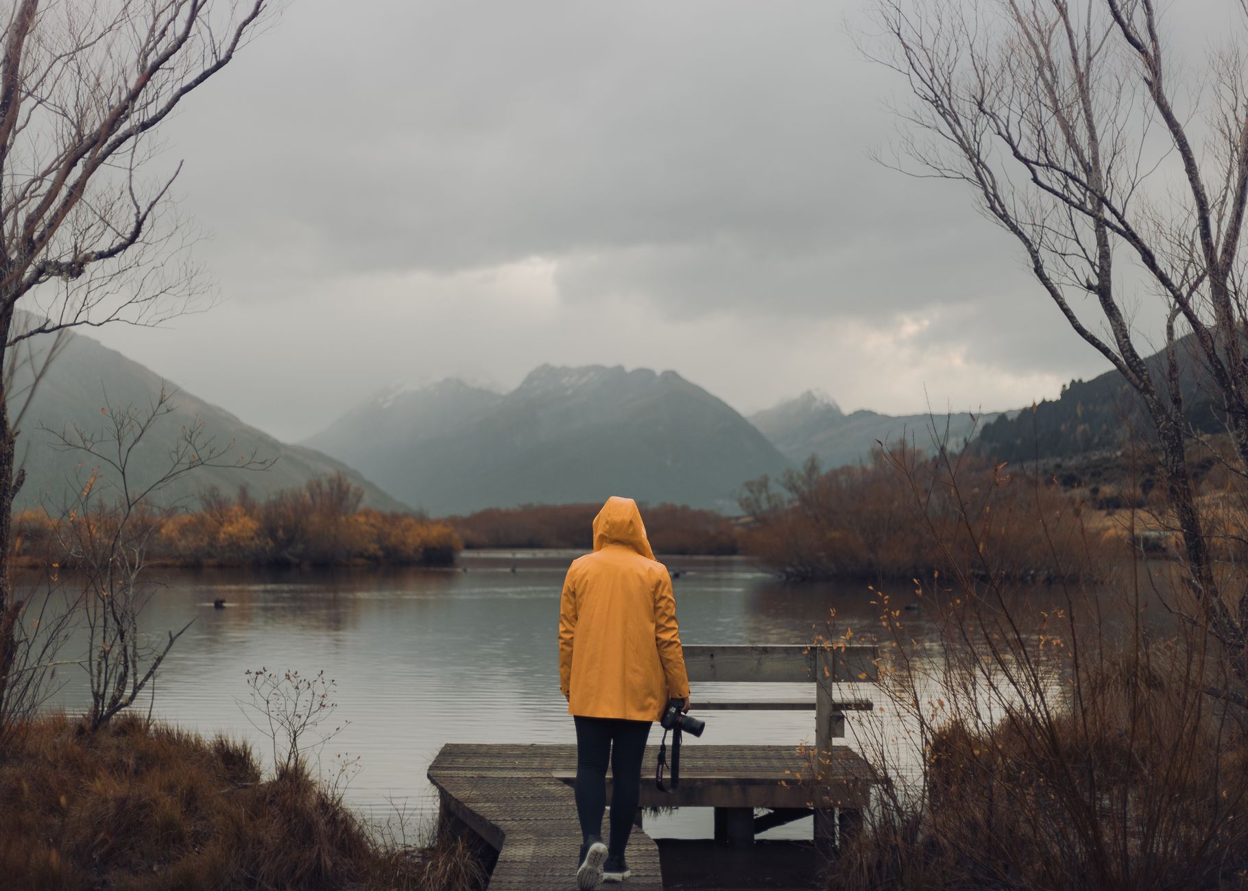
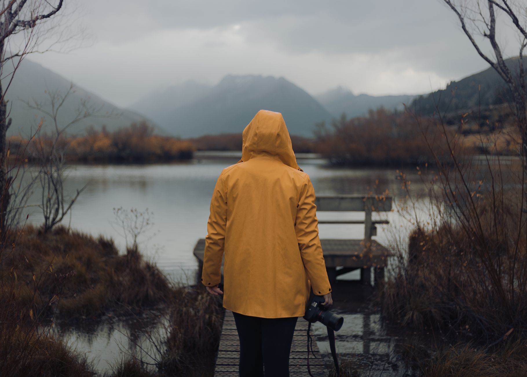
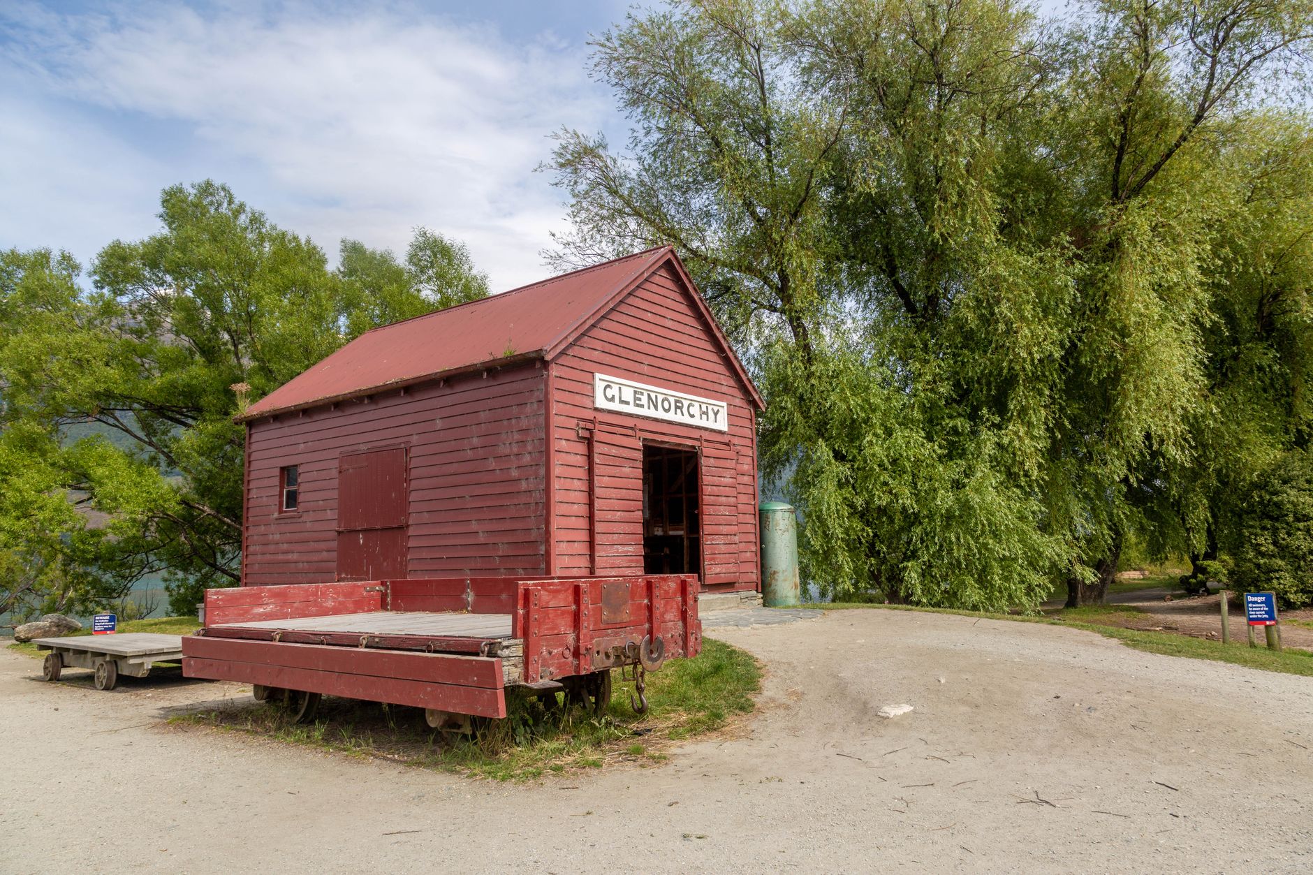
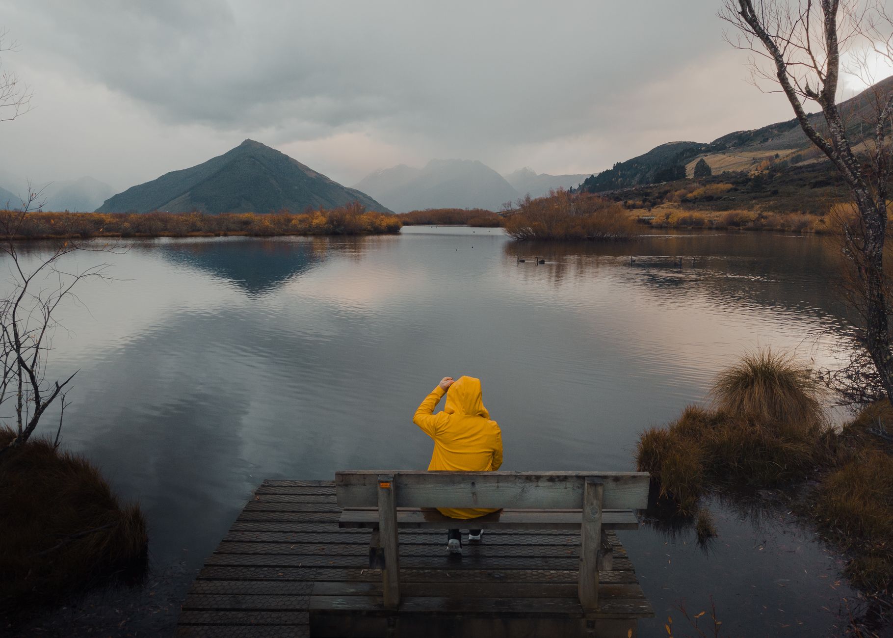
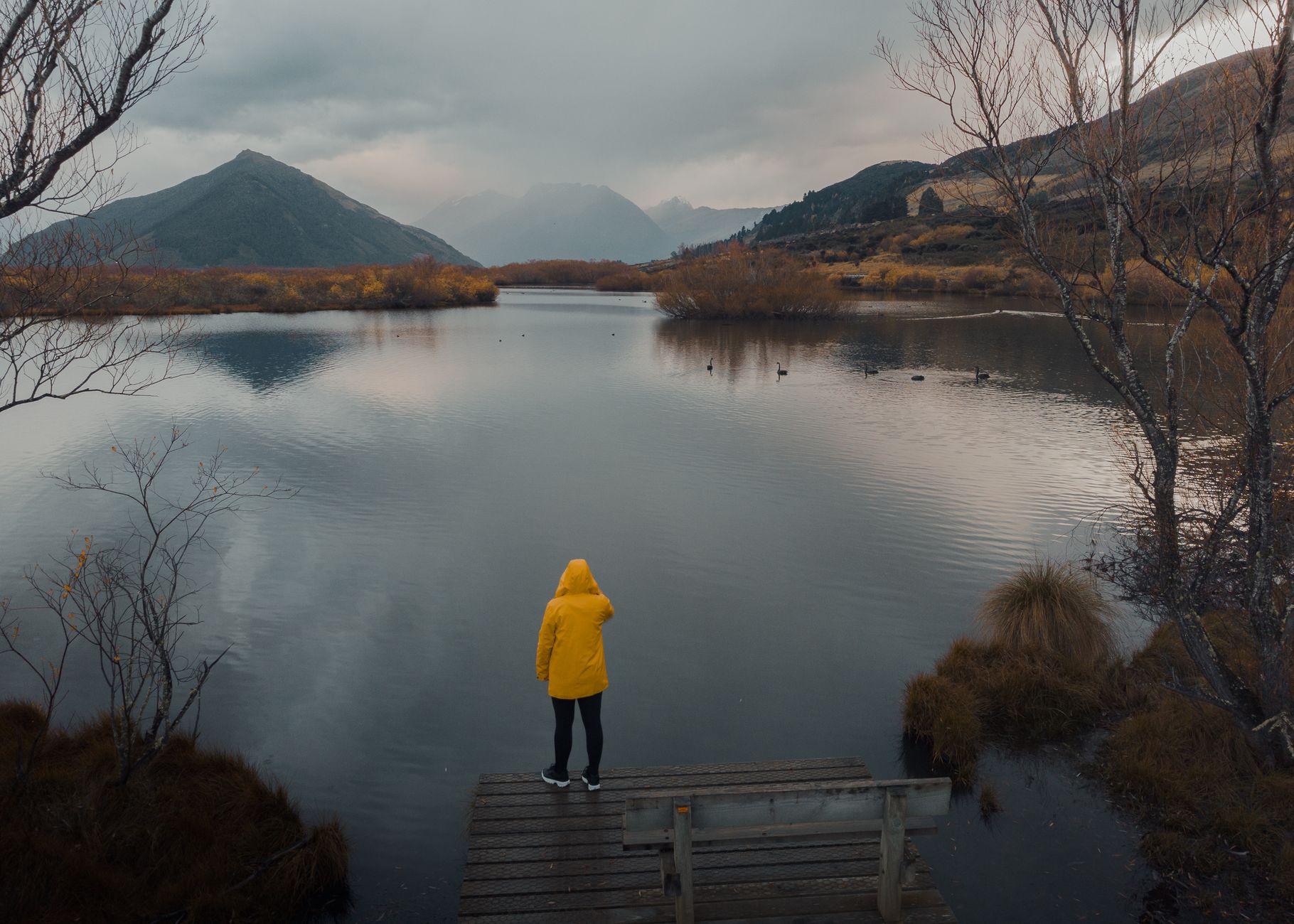
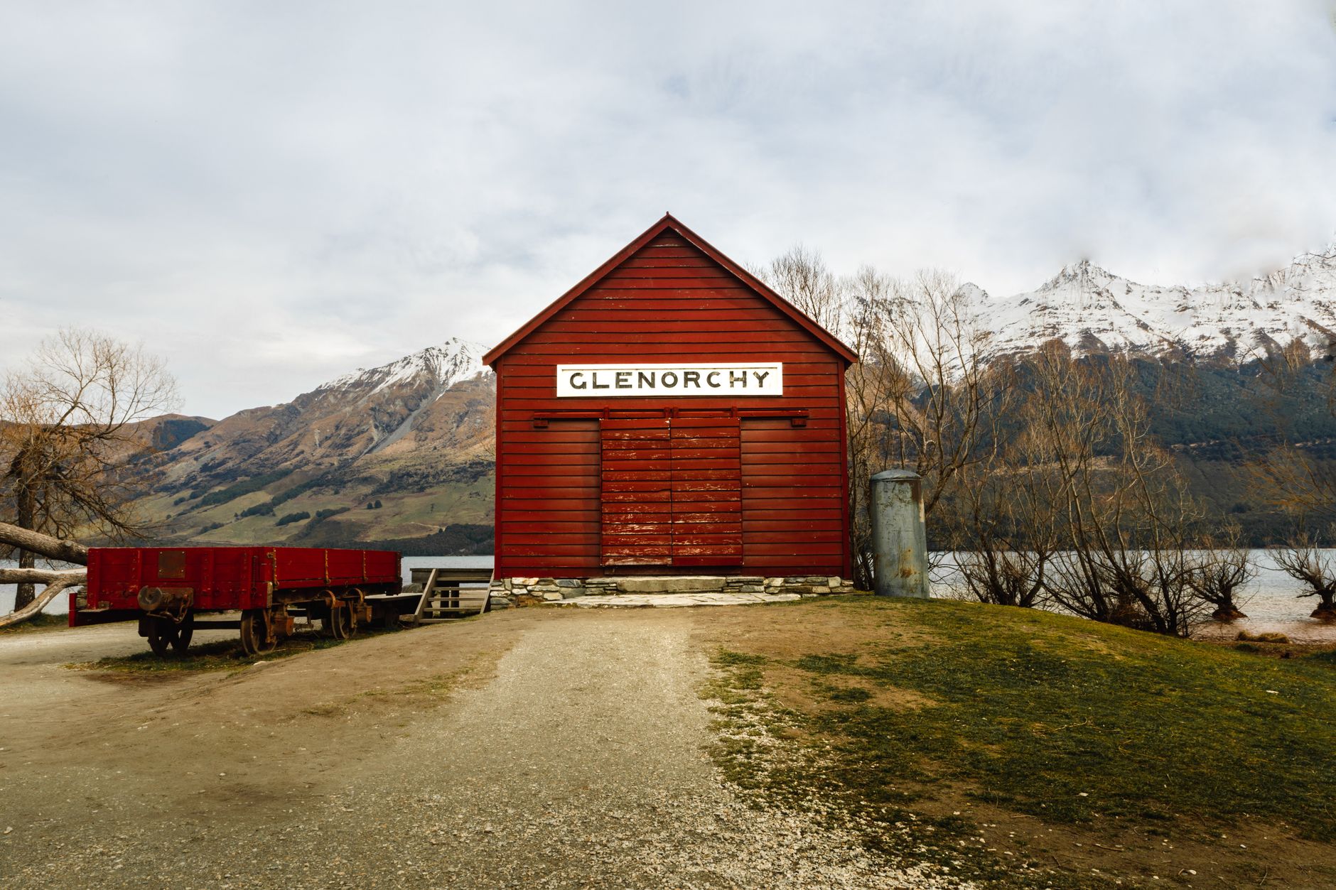
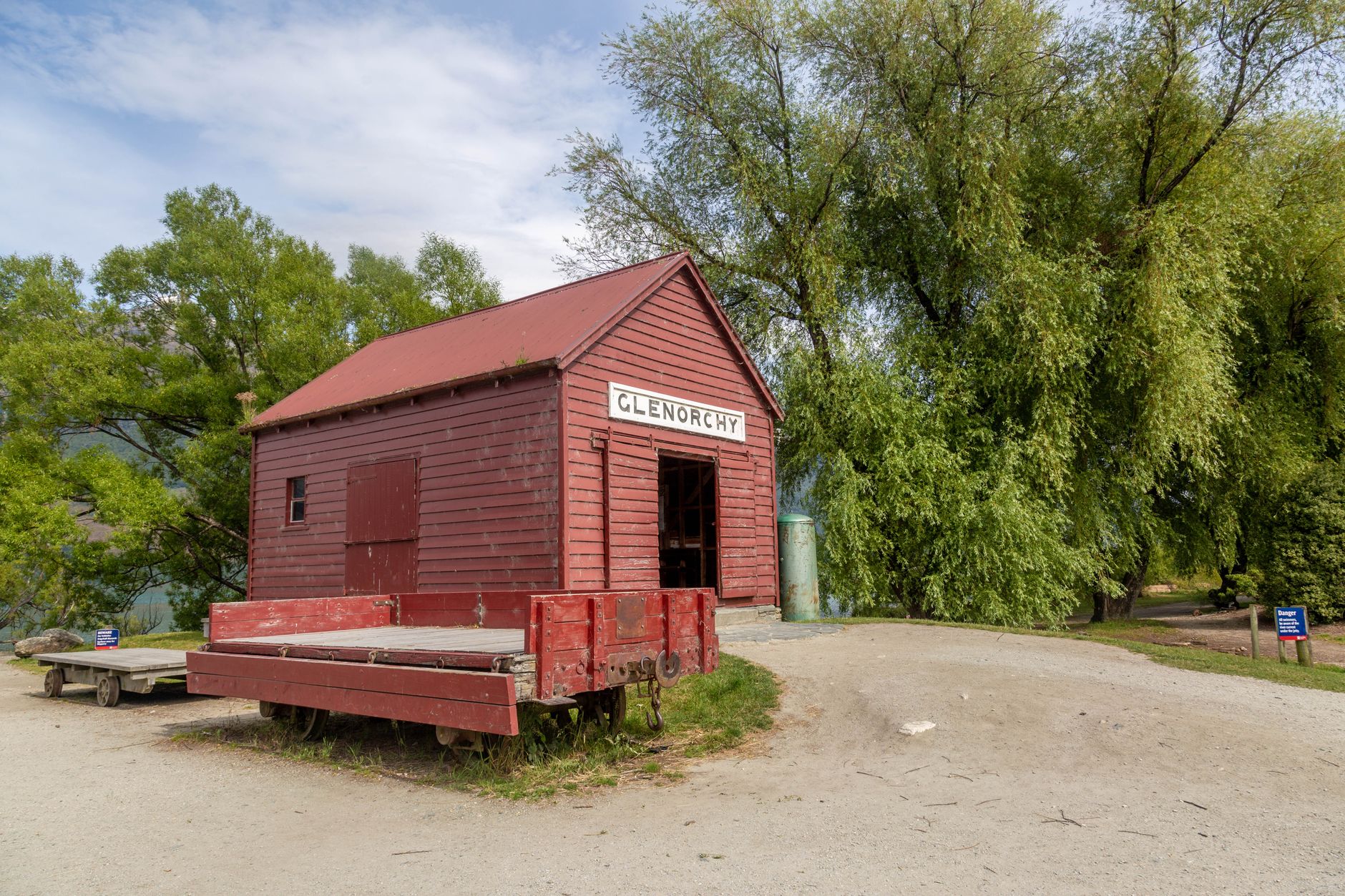
At the far end of the Queenstown road — 45 kilometres and a world away — Glenorchy sits at the head of Lake Wakatipu where the Dart River fans out into braided channels and the mountains close in on three sides. The red boat shed on the waterfront has stood there, in one form or another, since the 1860s, when steamships were the only reliable link to the outside world. It still anchors the view.
The town is small: two pubs, a café, a school of 31 children, and a lagoon boardwalk that loops quietly through the wetlands. Since February 2025 it also holds a certified Dark Sky Sanctuary — five years of work by local volunteers to protect what was already, quietly, one of the more extraordinary night skies in the southern hemisphere.
💛 What travellers fall for
People who come back tend to mention the same two things: the lagoon walk at first light before any other visitors arrive, and the drive itself — pull over somewhere along the lake road and just sit with it. Glenorchy Journeys runs the bus if you'd rather not drive, which frees you to watch the water the whole way.
Deals in Glenorchy
Book directly at the provider

How Glenorchy came to be
William Rees leased the land at the Head of the Lake in 1861, and two of his shepherds — Alfred Duncan and George Simpson — built a mud hut near what is now the Glenorchy Café. The Otago Gold Rush brought a wave of miners, said to have peaked at around 3,000, and the township was formally surveyed in 1864. Captain Richard Bryant, an Englishman with twenty years at sea behind him, arrived in 1868 to try his luck in gold and ended up founding what became Kinloch Wilderness Retreat and serving as the lake's first harbour master.
For nearly a century, a bridle track and the Wakatipu steamer service were Glenorchy's only connections to the wider world. The road to Queenstown finally opened in 1962 during the town's centennial celebrations, and the last steamer ran in the 1969–70 season — rendered redundant almost overnight.
Who and what shaped it
People who shaped it
Landmark buildings
See Glenorchy in motion
Plan your visit
On the map
When to go
Summer (December to March) brings long days and temperatures that can reach 30°C, though the mountains keep things cooler than the Queenstown basin. Winters are cold and often clear, with snow settling on the peaks rather than the roads, and July nights dropping below -2°C — worth knowing if you're planning to spend time under those certified dark skies.
Right now
Background & history adapted from Wikipedia (CC BY-SA) · specs from Wikidata (CC0) · weather from Open-Meteo · map data © OpenStreetMap contributors · photos from Wikimedia Commons / Unsplash with per-image credit. No third-party reviews or social posts reproduced.