
Funadhoo
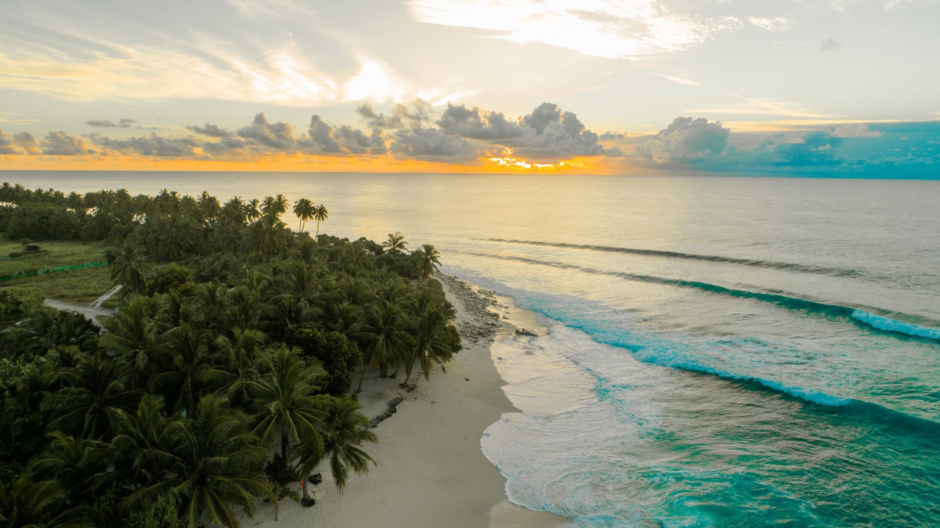
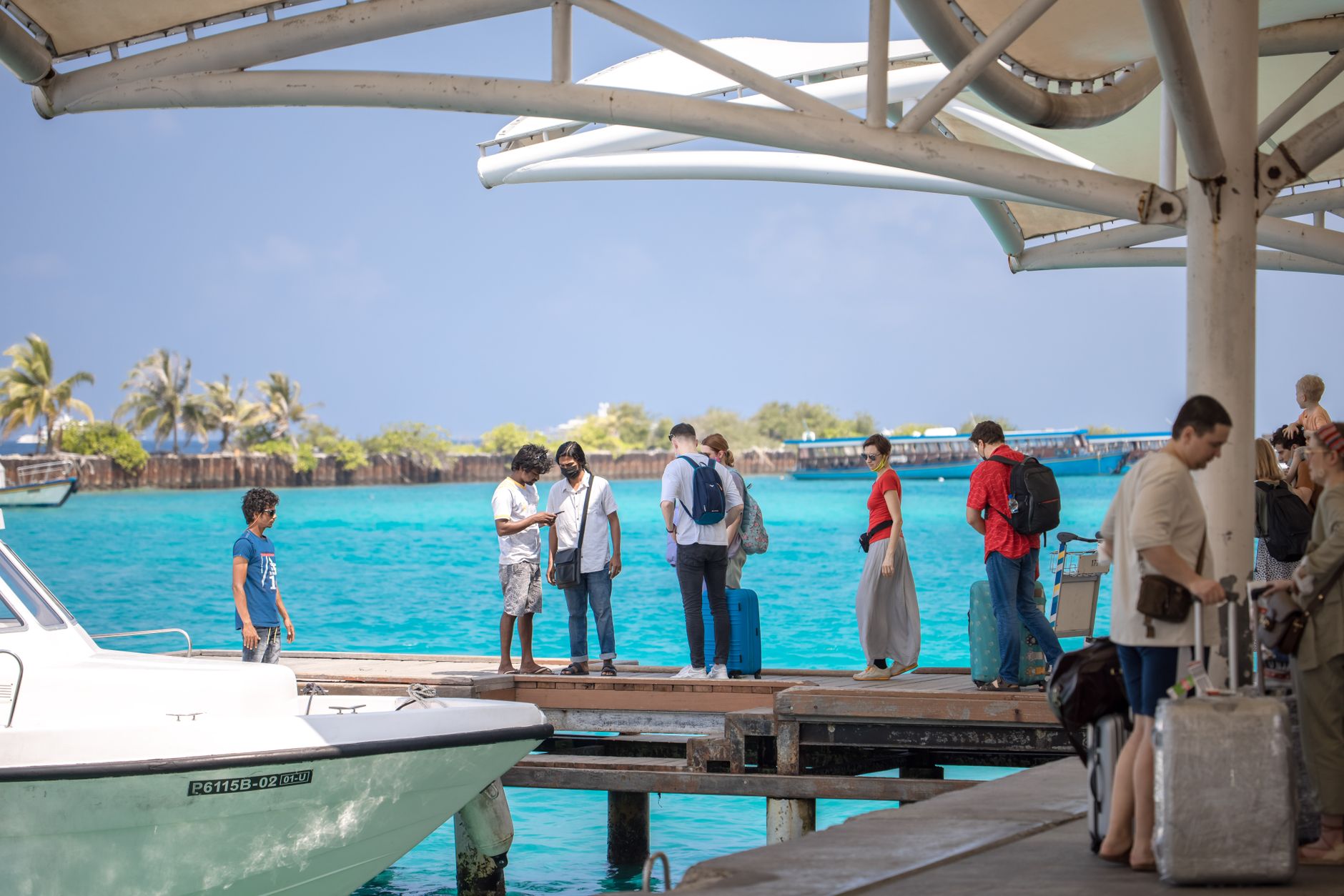
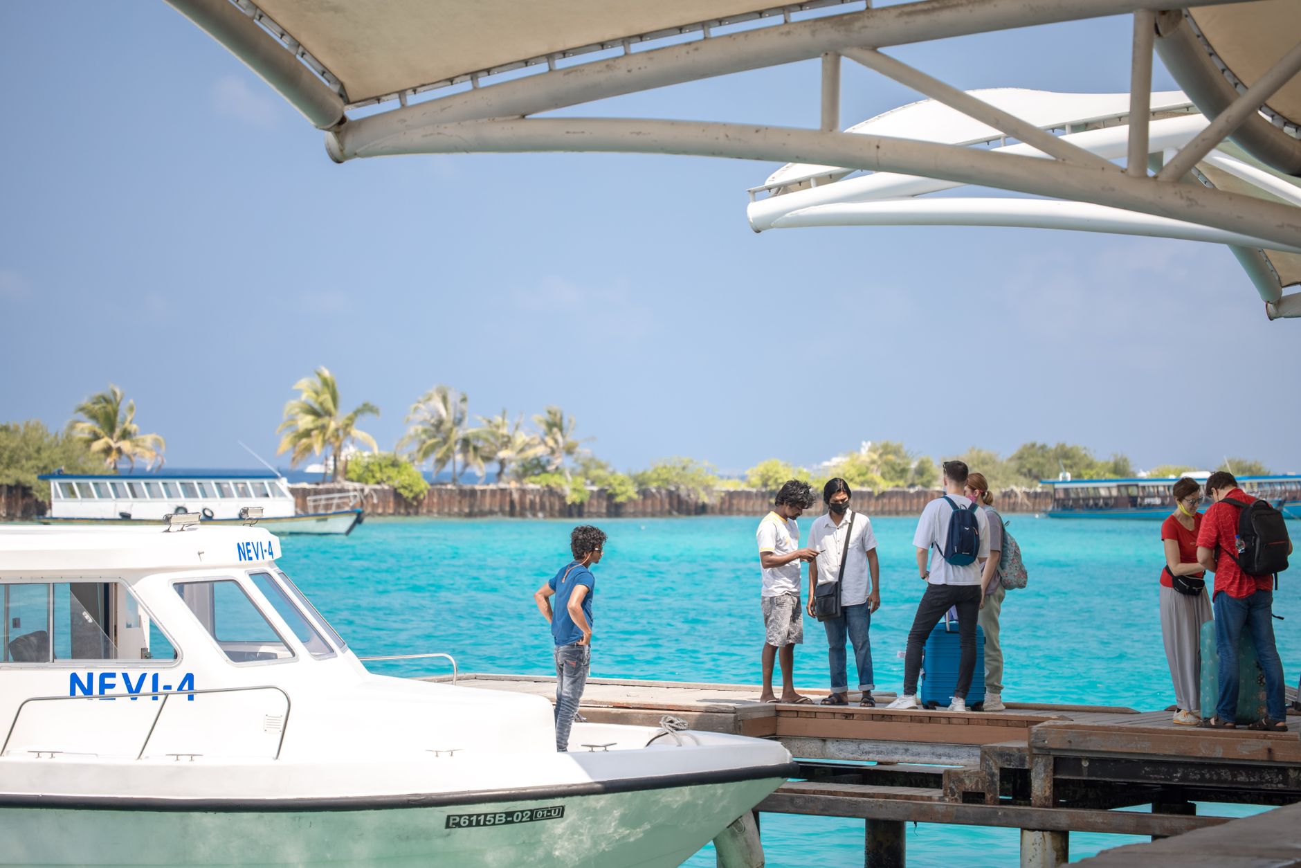
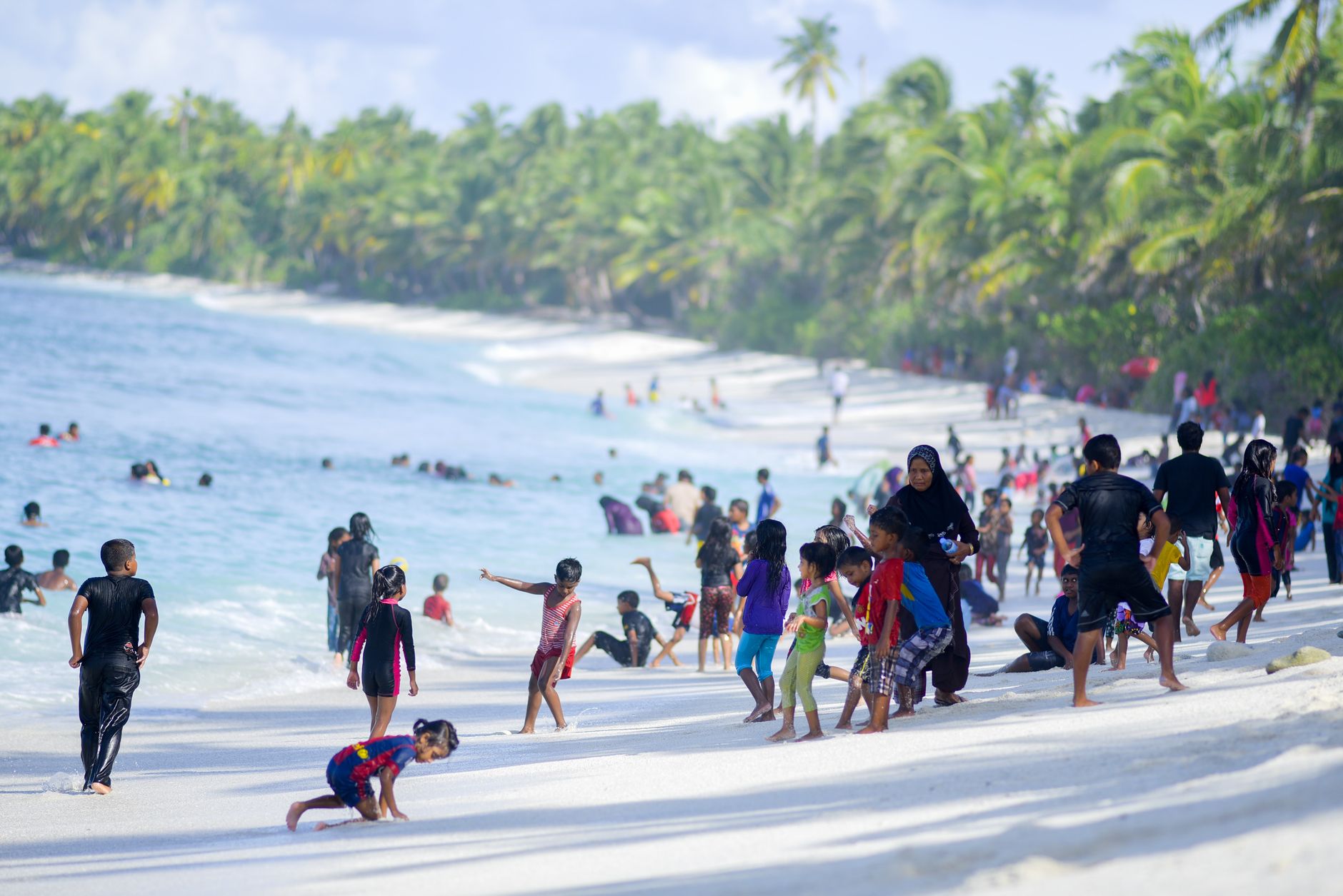
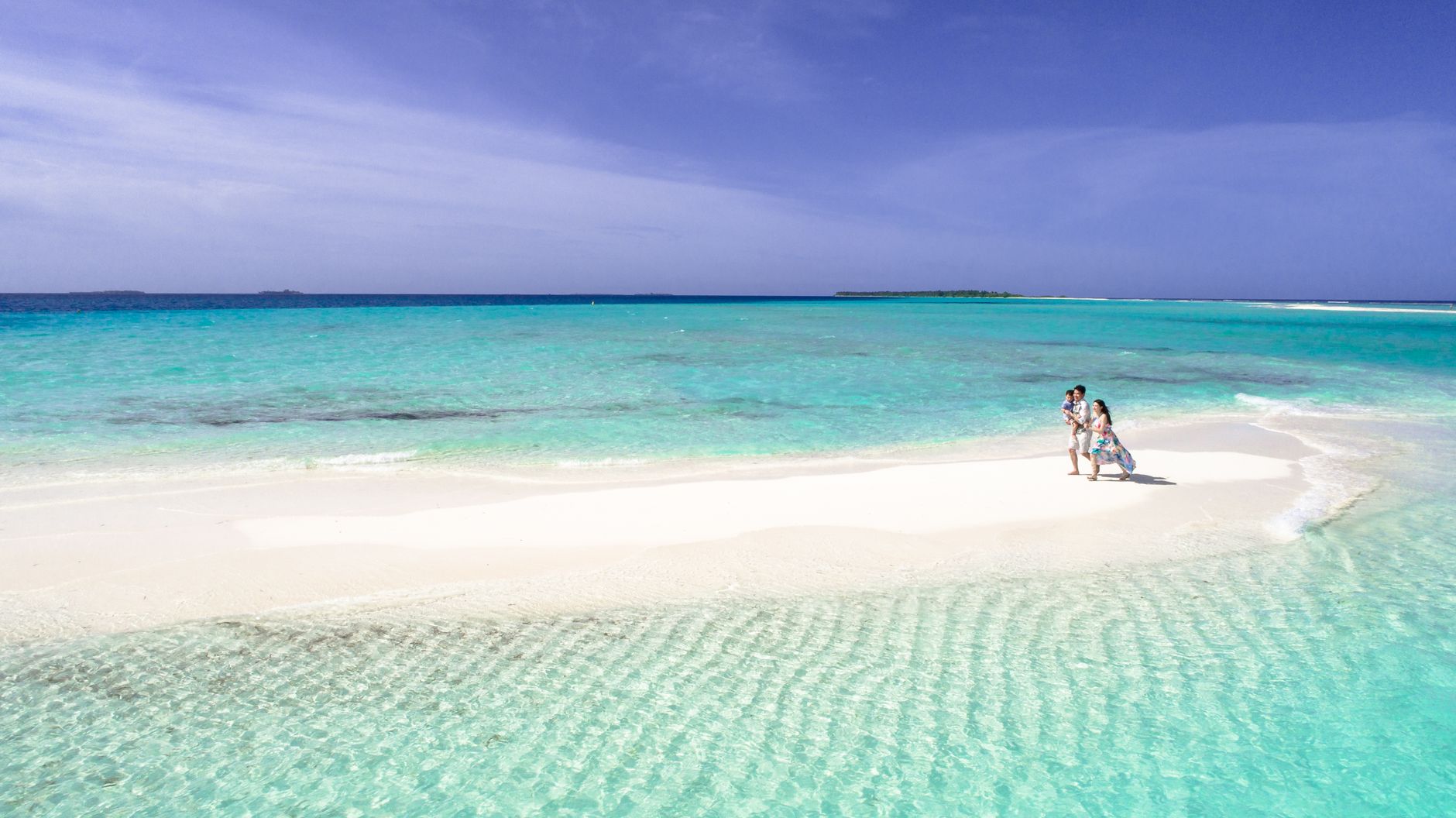
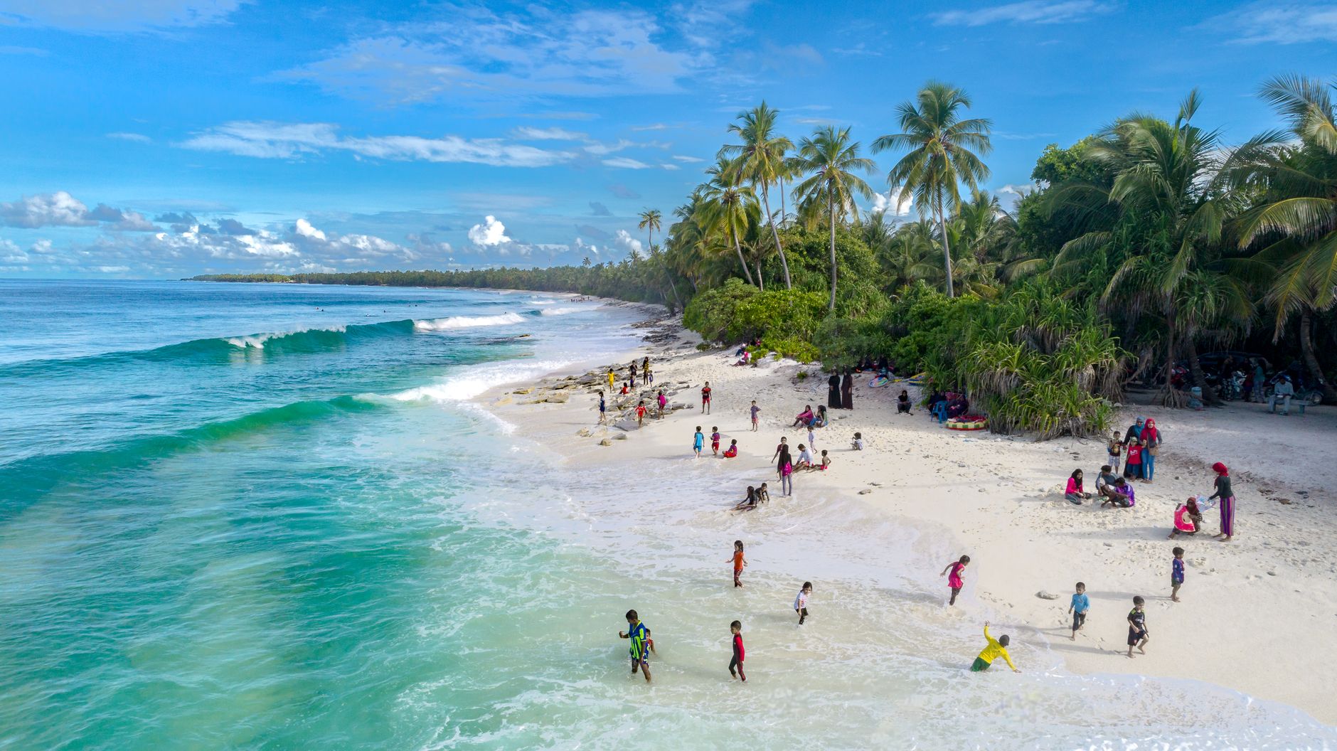
Funadhoo's name comes from the Calophyllum tree — the kind of etymology that tells you something true about a place. The island only began receiving permanent residents in January 1968, when the Shaviyani Atoll office transferred here and people followed, settling what had previously been called Farukolhu Funadhoo. Fifty-odd years later, the harbor still runs on wooden dhonis and the daily catch, the hotaas near the waterfront serve short eats at honest prices, and the airport — opened in February 2020 — accepts turboprops on a 1,200-metre strip.
This is the administrative capital of Shaviyani Atoll, which means it has a real hospital, a regional school, and the kind of infrastructure that most Maldivian islands simply don't. On the northern edge of the island, Lake Goni — formed when two landmasses merged — holds tilapia and wetland birds. The Dhahfalhu lagoon pushes into mangrove where grey herons pick through the mud at low tide.
💛 What travellers fall for
People who return tend to mention the same two things: the harbor at dawn, when the fishermen are back and the hotaas are just opening, and the ease of the place — small enough to walk end to end, paved roads, no reason to rush. Bring rufiyaa in cash; cards are rarely useful here.
Deals in Funadhoo
Book directly at the provider

How Funadhoo came to be
Before 1968, Funadhoo was essentially uninhabited. The Shaviyani Atoll office had been running out of Lhaimagu since 1958, but on 1 January 1968 it relocated here, and settlers came with it. The health centre followed from Lhaimagu in 1971. In 1982, Abdulla Hameed — then Minister of Atolls Administration — officially opened the Shaviyani Atoll Education Centre, a project that Dr. Mohammed Zahir, as Minister of Education, had pushed through for the northern atolls. The island absorbed a further wave of residents in June 1996, when the first phase of a relocation project brought people from nearby Firubaidhoo.
The 2004 tsunami changed the landscape in one specific way: Lake Goni, a freshwater body on the island's northern side, turned saline after the surge. Ancient mosque ruins and 13th-century tombstones on the island are a reminder that Islamic settlement across these atolls predates all of this modern reshaping by centuries.
Who and what shaped it
People who shaped it
Landmark buildings
See Funadhoo in motion
Plan your visit
On the map
When to go
Temperatures barely shift across the year — highs of 30–32°C, lows around 25–26°C — but the rain does: October can bring 229mm over sixteen days, while February averages just 68mm over five. December through April is the driest and most reliable window for travel.
Right now
Background & history adapted from Wikipedia (CC BY-SA) · specs from Wikidata (CC0) · weather from Open-Meteo · map data © OpenStreetMap contributors · photos from Wikimedia Commons / Unsplash with per-image credit. No third-party reviews or social posts reproduced.