
Freeport
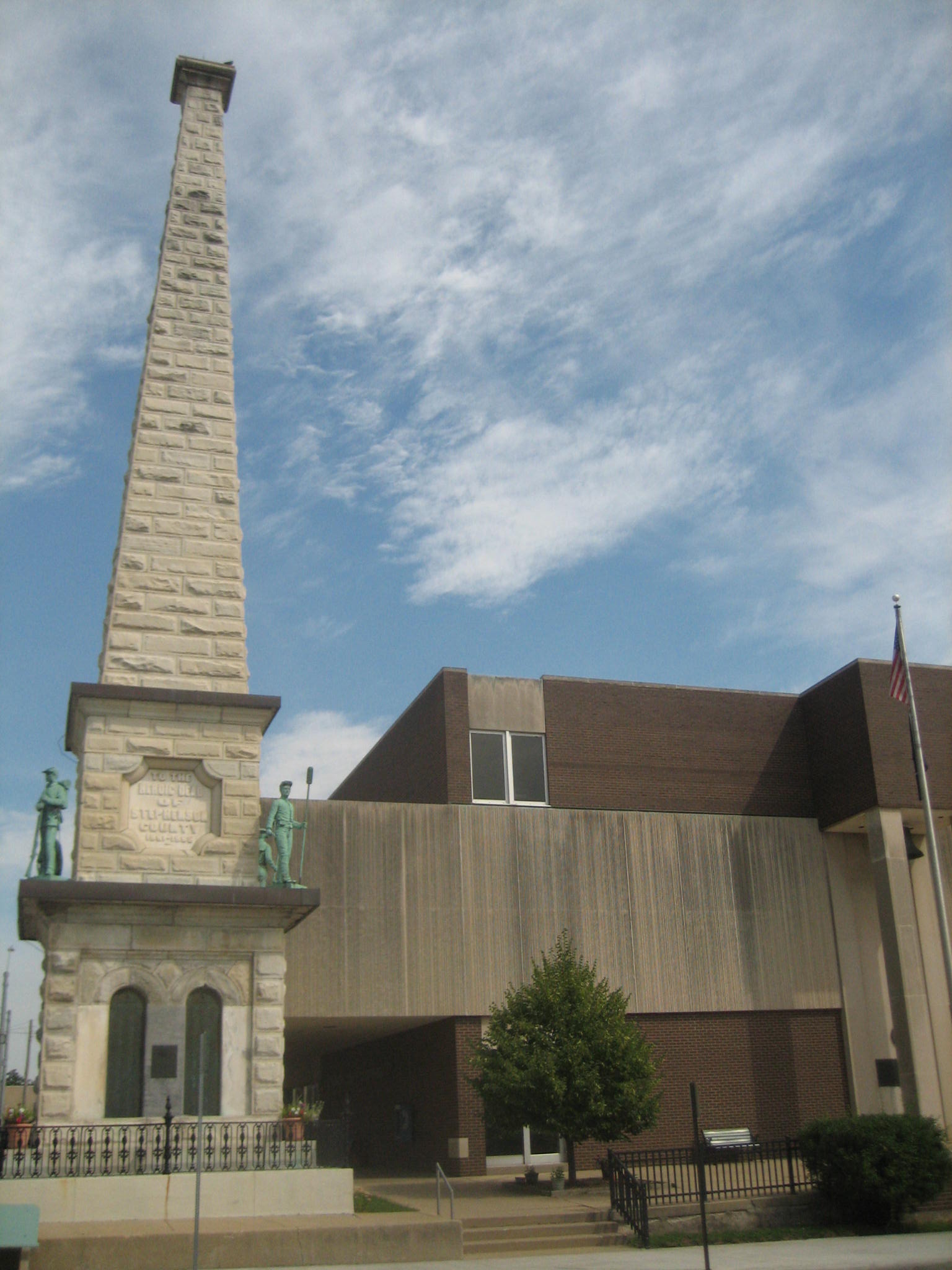
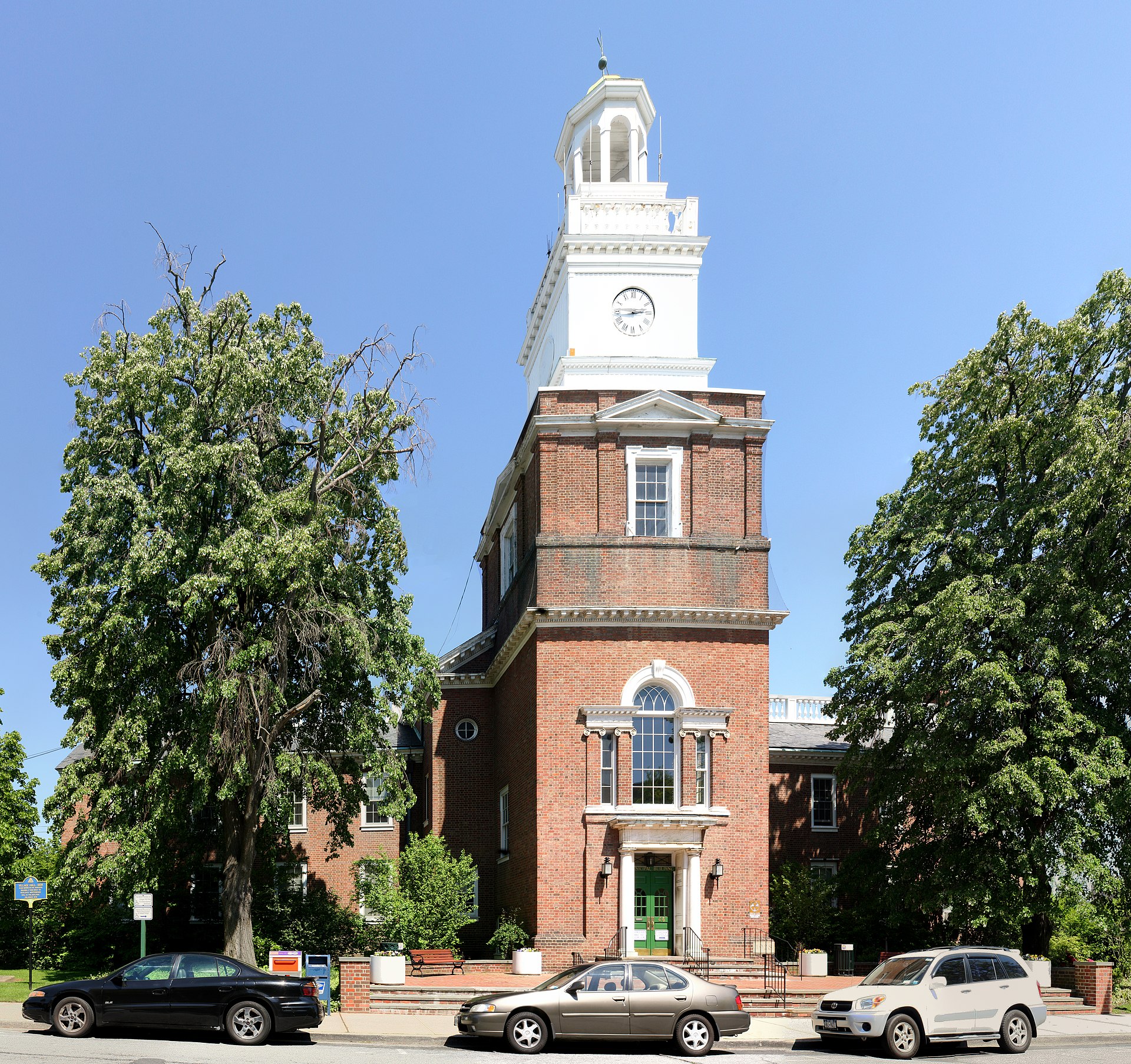
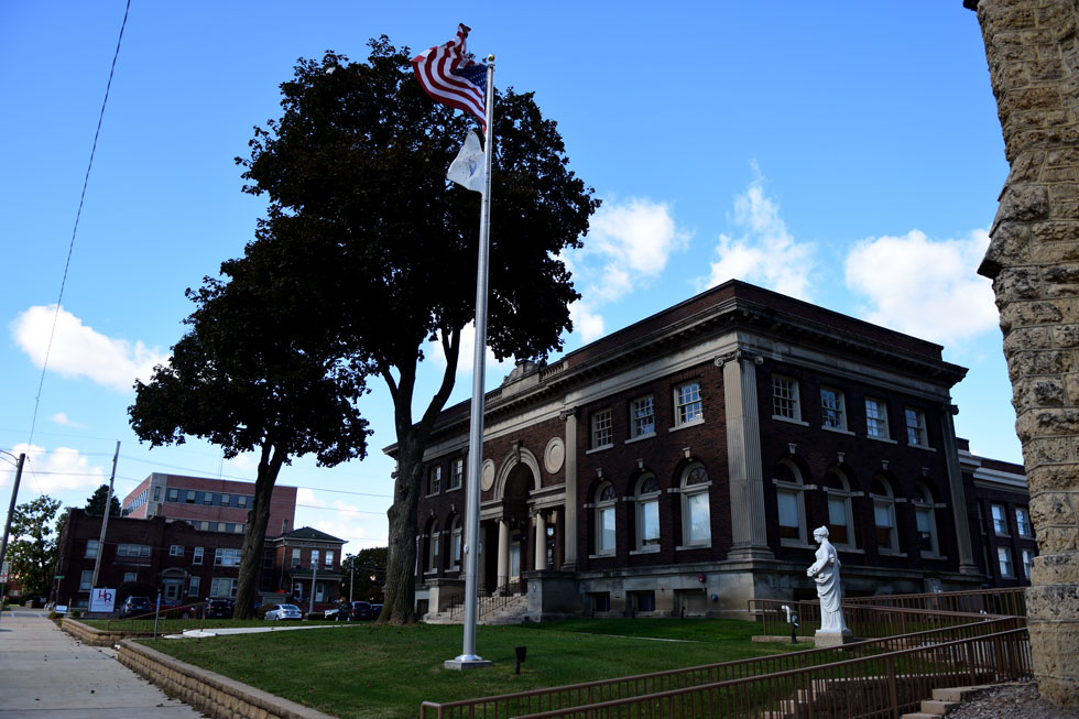

Freeport was conjured out of pineyard and swamp by a financier's signature in 1955 — which gives it a particular character among Bahamian cities. It is planned, purposeful, and slightly unexpected: a free-trade port that became the second-largest city in the Bahamas, with a national park sheltering one of the world's great underwater cave systems sitting quietly at its edge.
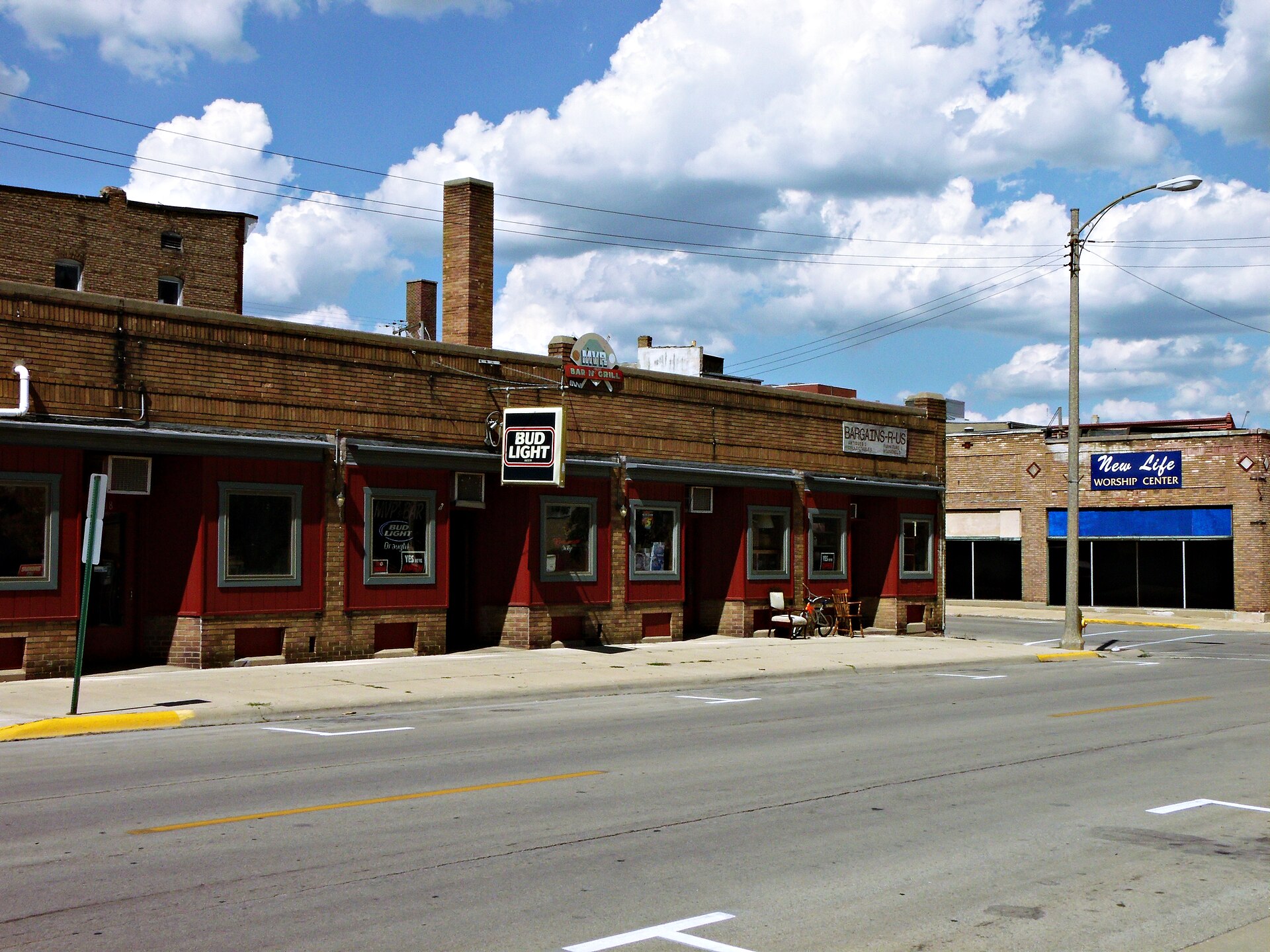
The city divides roughly into Freeport proper and the waterfront district of Lucaya, where Port Lucaya Marketplace's restaurants and live music on Count Basie Square provide the most concentrated street life. Derelict towers and shuttered resorts share the skyline with working marinas — Freeport wears its history visibly.
💛 What travellers fall for
People who keep coming back tend to anchor at Port Lucaya and work outward. Lucayan National Park rewards an early start — the beaches stay quiet before the cruise-ship day-trippers arrive. Peterson Cay, just a mile offshore, is worth arranging a boat for: four reef zones and genuinely clear water.
How Freeport came to be
In 1955, American financier Wallace Groves signed the Hawksbill Creek Agreement with the Bahamian government, trading development commitments for 20,000 hectares of near-worthless scrubland and a free-trade mandate. Shipping magnate Daniel K. Ludwig put $2 million into dredging the creek; by 1956 the work was underway. A bunkering terminal followed in 1961, an oil refinery in 1967, and an international airport in 1964 — the infrastructure of a city assembled in roughly a decade.
Florida architect Alfred Browning Parker shaped much of the early built environment, from the airport terminal to the downtown administrative buildings. Philanthropist Sir Jack Hayward later funded schools, libraries and sports facilities, leaving a civic imprint that outlasted the boom years. The Hawksbill Creek Agreement itself runs until 2054.
Who and what shaped it
People who shaped it
Landmark buildings
See Freeport in motion
Plan your visit
On the map
When to go
Freeport sits in a tropical rainforest climate — warm year-round, with temperatures averaging around 27°C and rarely dropping below 16°C. December through April is drier and slightly cooler; June through October brings the rainy season, with August and September seeing the heaviest rainfall and the highest hurricane risk.
Right now
Background & history adapted from Wikipedia (CC BY-SA) · specs from Wikidata (CC0) · weather from Open-Meteo · map data © OpenStreetMap contributors · photos from Wikimedia Commons / Unsplash with per-image credit. No third-party reviews or social posts reproduced.