
Flores, Petén
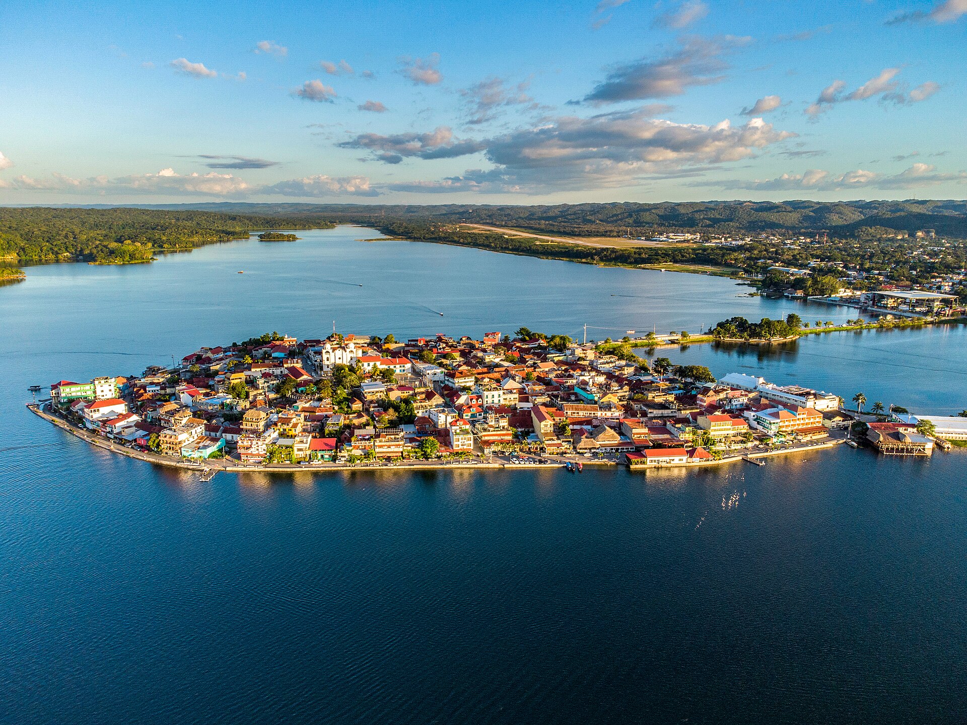
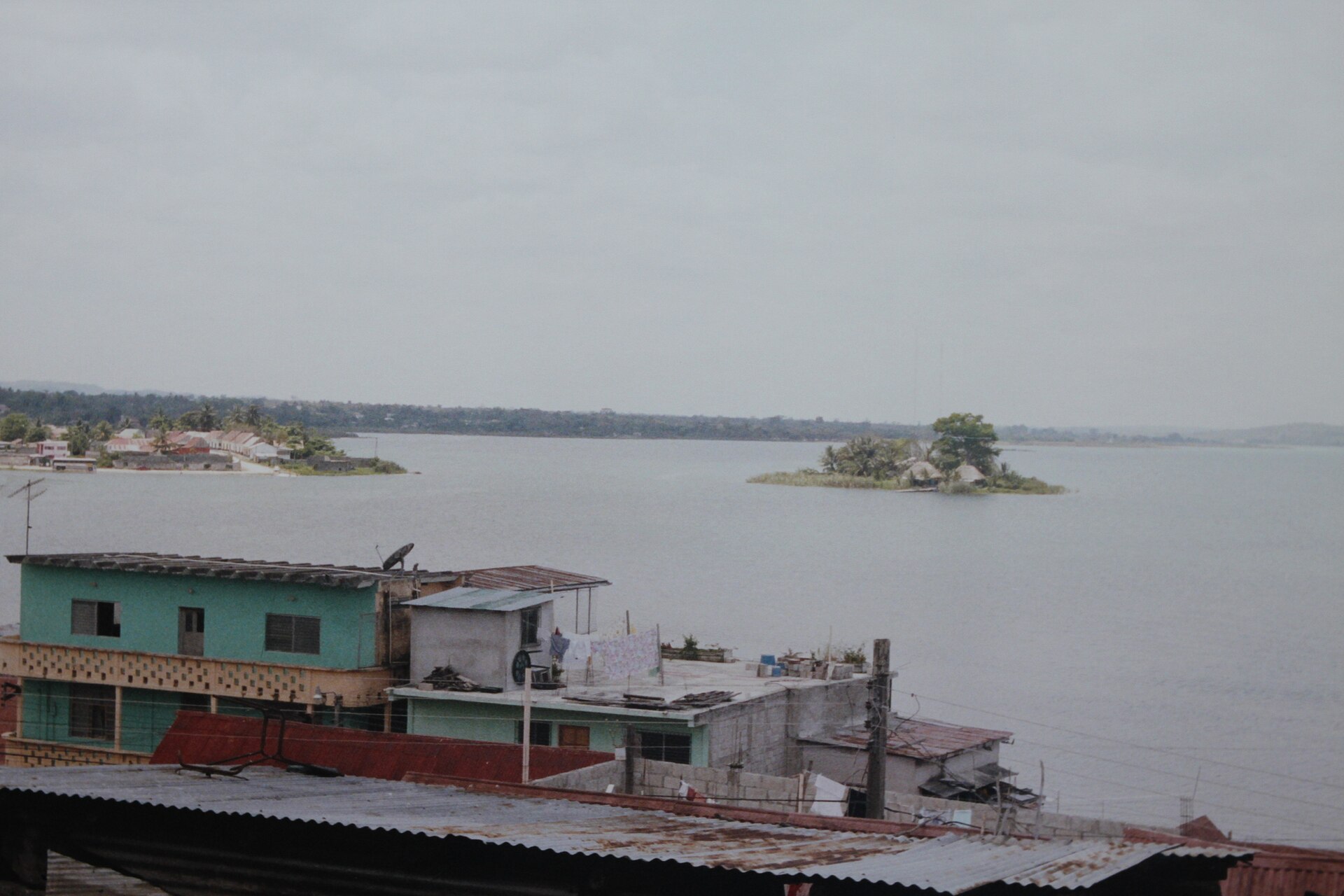
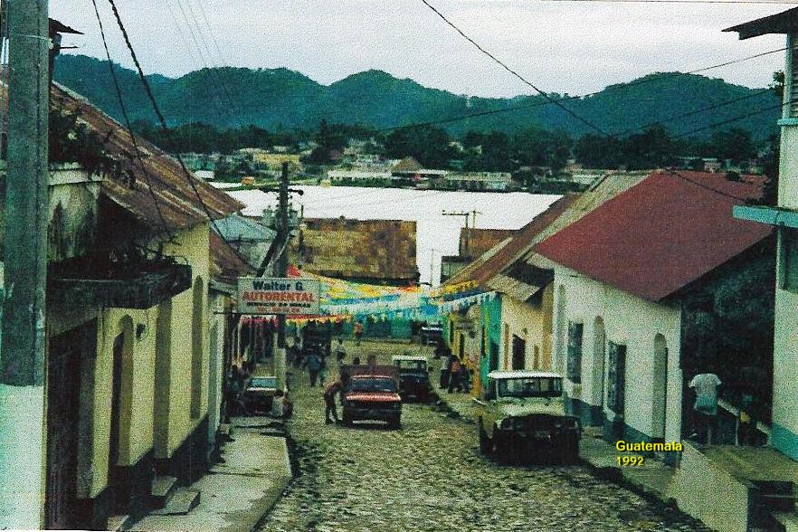
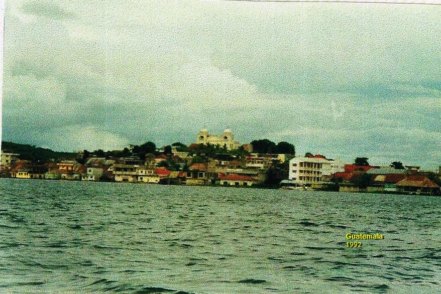
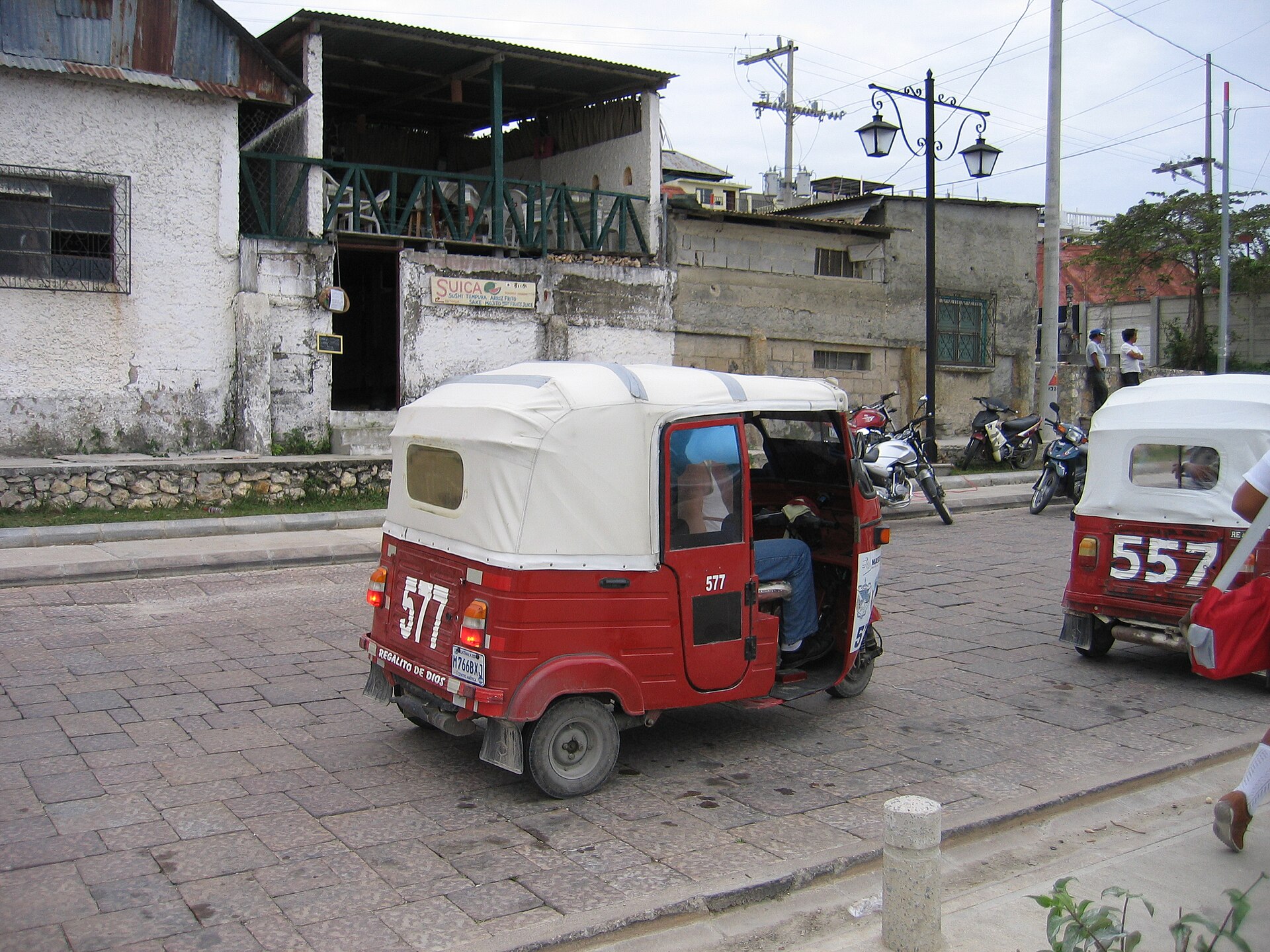
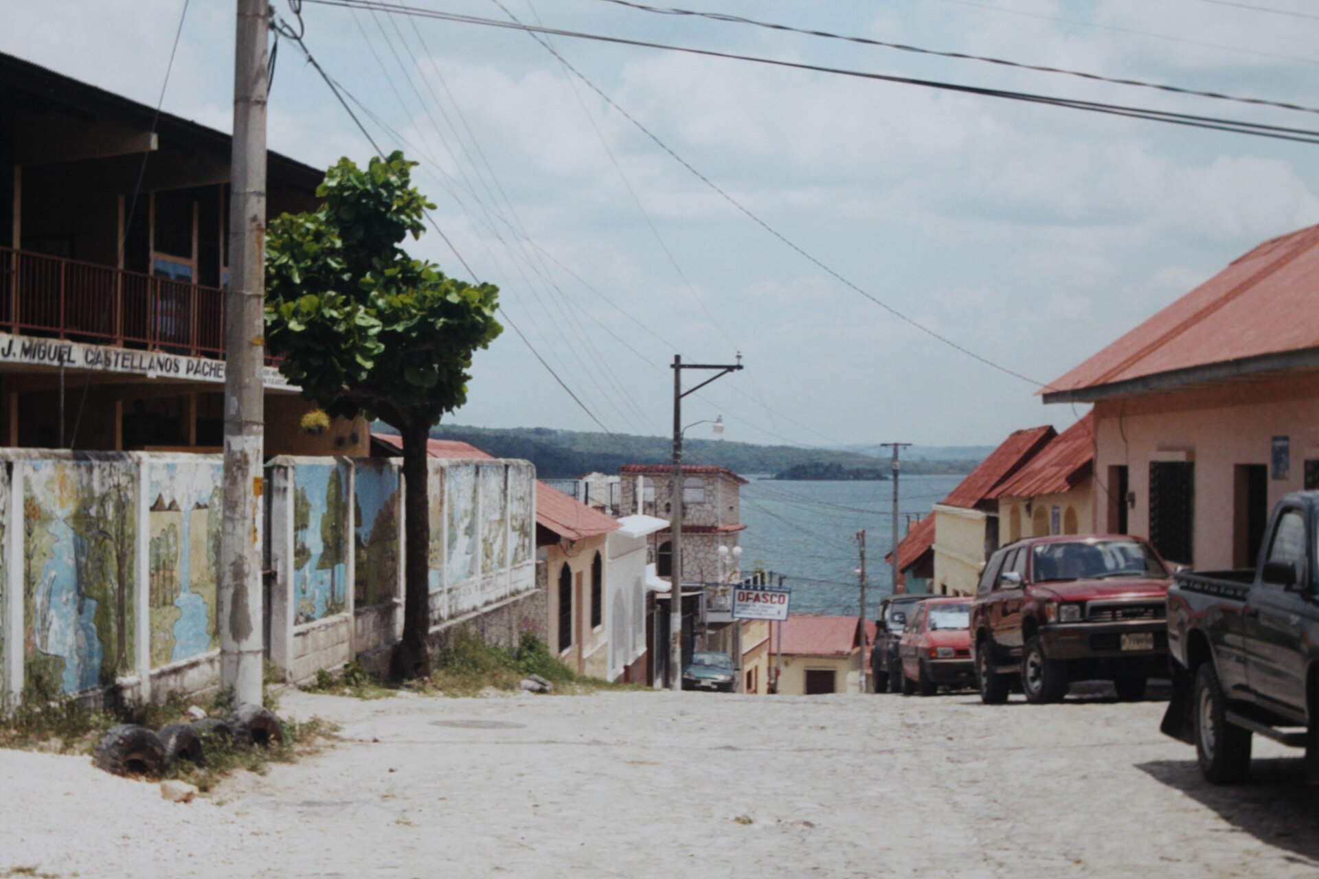
Flores sits on a 13-hectare island in Lake Petén Itzá, connected to the mainland by a single causeway, its concentric streets rising toward a white cathedral at the summit — a layout that echoes, almost exactly, the Maya capital that stood here before it. The cobblestones are narrow, the rooflines low and red-tiled, and the lakefront houses run through a palette of ochre, turquoise and rust that deepens in the afternoon light.
For most travelers, Flores is the base for Tikal, an hour's drive into the jungle. But the island holds its own rhythm — water taxis crossing to lakeside villages, the cathedral square where the main Maya pyramids once stood, and a scale that lets you walk the entire place before breakfast.
How Flores, Petén came to be
The island was already old when the Itza people arrived in the 13th century, having migrated north from Chichén Itzá to found Nojpetén — a city that held out against Spanish colonization longer than almost anywhere in the Americas. It fell on March 13, 1697, when Martín de Ursúa led the assault that ended roughly 200 years of resistance. The Spanish demolished the temples and built a colonial settlement on the same ground, renaming it Nuestra Señora de los Remedios y San Pablo. The cathedral now occupies the highest point of the island, where the main pyramids once stood.
The town was renamed Flores in 1831, honoring Cirilo Flores Estrada, a physician and independence-era politician. A chicle and timber boom in the late 19th and early 20th centuries brought Caribbean vernacular architecture to the waterfront — wooden balconies, tall shuttered windows, spacious verandas — which survives alongside the colonial core.
Who and what shaped it
People who shaped it
Landmark buildings
See Flores, Petén in motion
Plan your visit
On the map
When to go
The dry season runs November through April, with December to February offering the most comfortable days for excursions — highs around 28–31°C and relatively little rain. April is the hottest month, pushing toward 38°C; the wet season from May to October brings heavy afternoon downpours, with September averaging 248mm across 17 rainy days.
Right now
Background & history adapted from Wikipedia (CC BY-SA) · specs from Wikidata (CC0) · weather from Open-Meteo · map data © OpenStreetMap contributors · photos from Wikimedia Commons / Unsplash with per-image credit. No third-party reviews or social posts reproduced.