
Flores
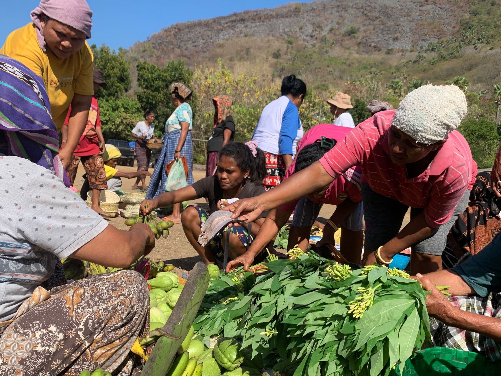
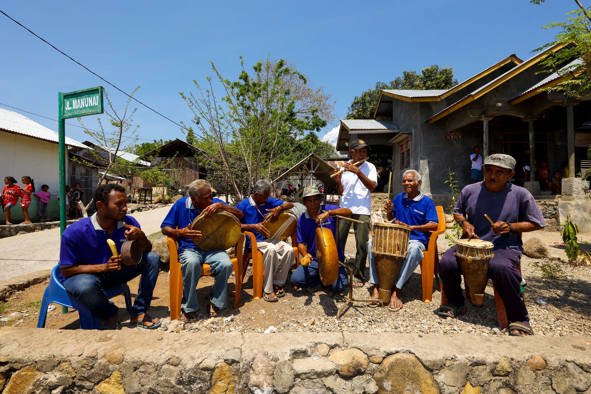
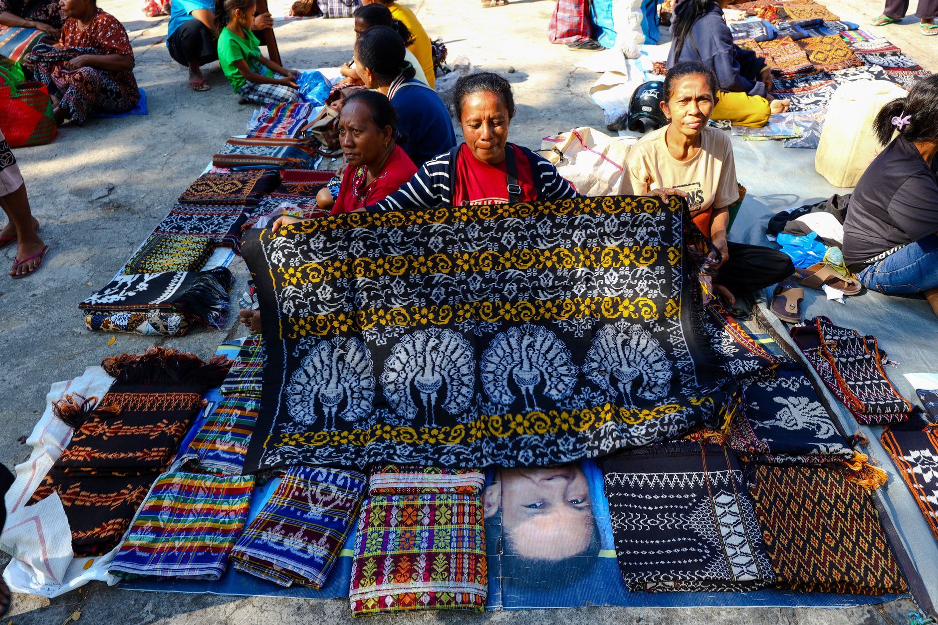
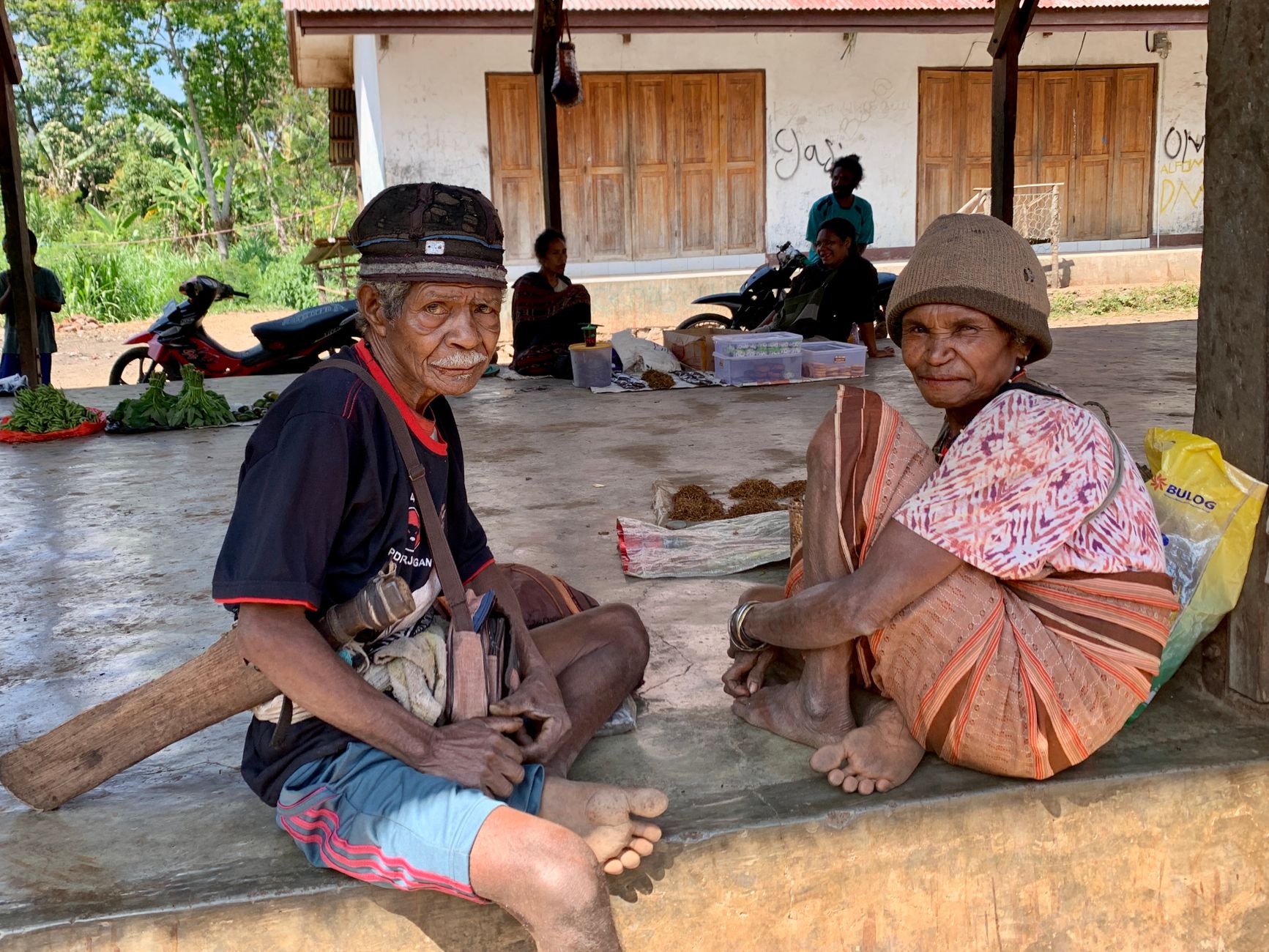
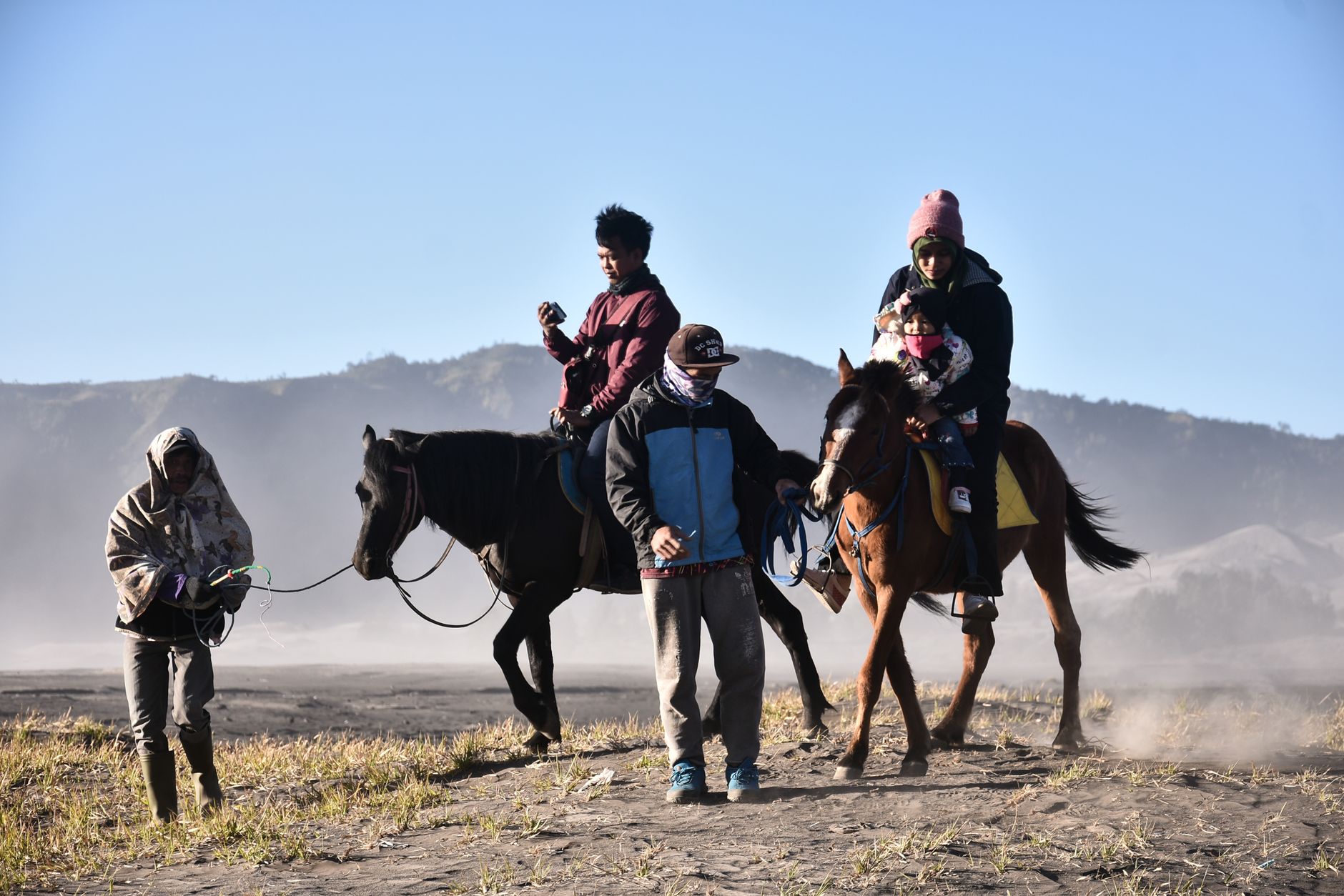
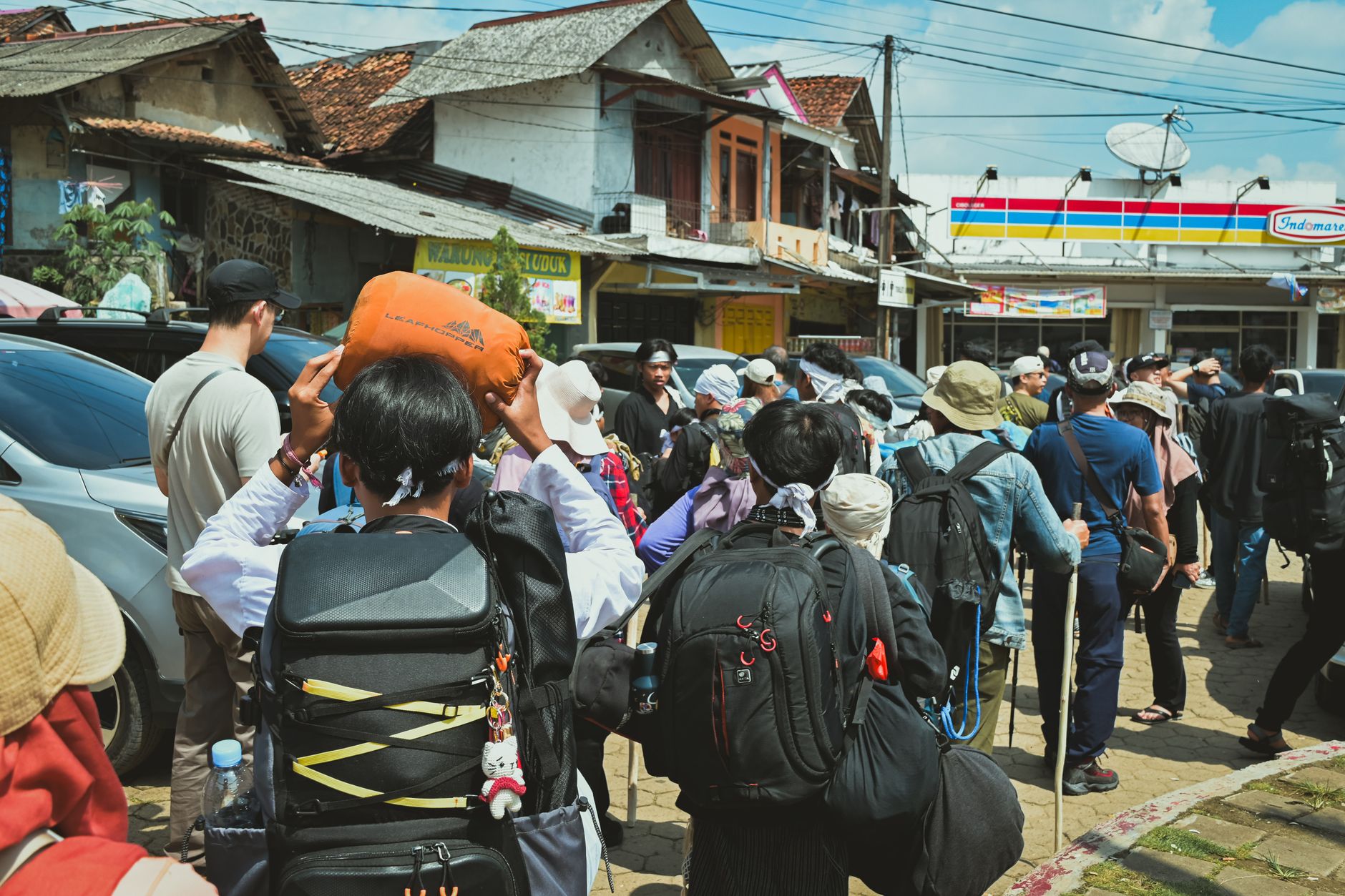
Flores stretches roughly 660 kilometres from the dragon-haunted western tip at Labuan Bajo to the port town of Larantuka in the east, and the road between them bends so relentlessly that distance on a map means almost nothing. What you actually get is a succession of distinct worlds: crater lakes that shift colour with the seasons above Ende, spider-web rice terraces laid out in Manggarai clan circles near Cancar, megalithic villages where ngadhu shrines still mark the men's ancestral line.
The island's name comes from Portuguese — Cabo de Flores, the Cape of Flowers — and that 16th-century contact left a Catholicism that took deep root here unlike almost anywhere else in the Indonesian archipelago. Six languages are spoken across the island's ethnic groups, and the terrain changes from coastal heat to cool mountain air within a single afternoon's drive.
How Flores came to be
Portuguese sailors, among them António de Abreu and Francisco Serrão, reached these waters around 1512, and the name they gave the eastern cape eventually spread to the whole island. For centuries Flores paid tribute to princes from Sulawesi; Dutch power broke that arrangement in 1667, though the Netherlands didn't bother with proper civil administration until 1909, following a military campaign in 1907 to end inter-tribal conflict. The Kingdom of Sikka, where Don Alésu had introduced Catholicism generations earlier, persisted under its own kings until Don Josephus Thomas Ximenes da Silva, the last of them, died in 1952.
Japanese forces landed at Reo in May 1942 and held the island through the war. Flores then passed through the short-lived State of East Indonesia before joining the Republic in 1950. A 7.8-magnitude earthquake in December 1992 killed 2,500 people around Maumere, reshaping that city's coastline and its memory.
Who and what shaped it
People who shaped it
Landmark buildings
See Flores in motion
Plan your visit
On the map
When to go
June to August is the dry season's sweet spot — the southeast monsoon keeps temperatures in the low-to-mid 20s°C in the mountains and tempers the coastal heat, which otherwise climbs toward 35–37°C in the September–November stretch. The wet season from December through March brings rain on roughly 19 days a month; travel is possible but muddy roads in the interior can close without warning.
Right now
Background & history adapted from Wikipedia (CC BY-SA) · specs from Wikidata (CC0) · weather from Open-Meteo · map data © OpenStreetMap contributors · photos from Wikimedia Commons / Unsplash with per-image credit. No third-party reviews or social posts reproduced.