
Farasan Islands
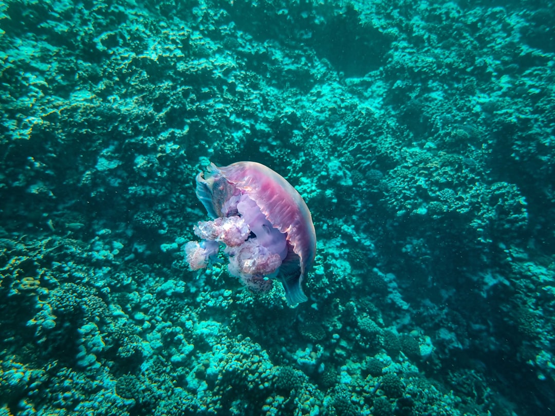
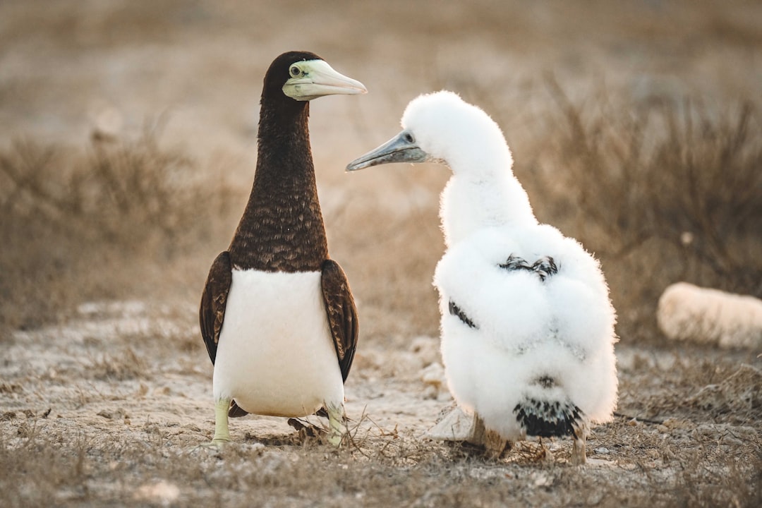
A Latin inscription carved in 144 CE sits on Great Farasan Island — evidence that Roman soldiers once garrisoned this archipelago in the southern Red Sea, nearly 4,000 kilometres from Rome. That detail alone reframes what the Farasan Islands are: not a remote corner of Saudi Arabia, but a place that has pulled traders, sailors, pearl merchants and empire-builders for two millennia.
Today the islands run at a different pace. The free public ferry from Jizan takes an hour, and once you're across, the main island offers coral-stone mosques, dense mangrove forest, Ottoman ruins and beaches that see almost no international traffic. A UNESCO Biosphere Reserve since 2021, the archipelago is one of the Red Sea's least-visited coastlines.
How Farasan Islands came to be
Rome's presence here is documented by a Latin inscription from 144 CE, making the islands the empire's farthest-known eastern outpost. Before that, Himyarite inscriptions on boulders at Al-Qassar suggest settlement stretching back roughly 3,000 years. The medieval seafarer Ahmad ibn Majid recorded the islands' anchorages and water sources, and by the early twentieth century the archipelago had passed through Mamluk and Ottoman hands — the Ottomans established a German coaling station on Qummah Island and built the castle that still overlooks Farasan City from its coral-rock ridge.
The pearl trade shaped the islands' architecture more than any empire. Al-Rifai House, finished in 1923, was built by pearl merchant Ahmad Munawwir Al-Rifa'i from coral stone and decorated with coloured glass panels and painted wooden ceilings. Al-Najdi Mosque followed in 1928, funded by a single large pearl sale. When the global pearl market collapsed in the 1930s and 1940s, the islands' economy quietly pivoted toward the broader Saudi oil era. Saudi annexation was formalised by the Treaty of Taif in 1934.
Who and what shaped it
People who shaped it
Landmark buildings
See Farasan Islands in motion
Plan your visit
On the map
When to go
Winters (November to February) are the most comfortable time to visit, with temperatures in the low to mid-twenties Celsius and lower humidity. Summer months bring intense heat and high humidity that can make outdoor exploration — particularly through the mangroves or around the ruins — genuinely punishing.
Right now
Background & history adapted from Wikipedia (CC BY-SA) · specs from Wikidata (CC0) · weather from Open-Meteo · map data © OpenStreetMap contributors · photos from Wikimedia Commons / Unsplash with per-image credit. No third-party reviews or social posts reproduced.