
Exuma
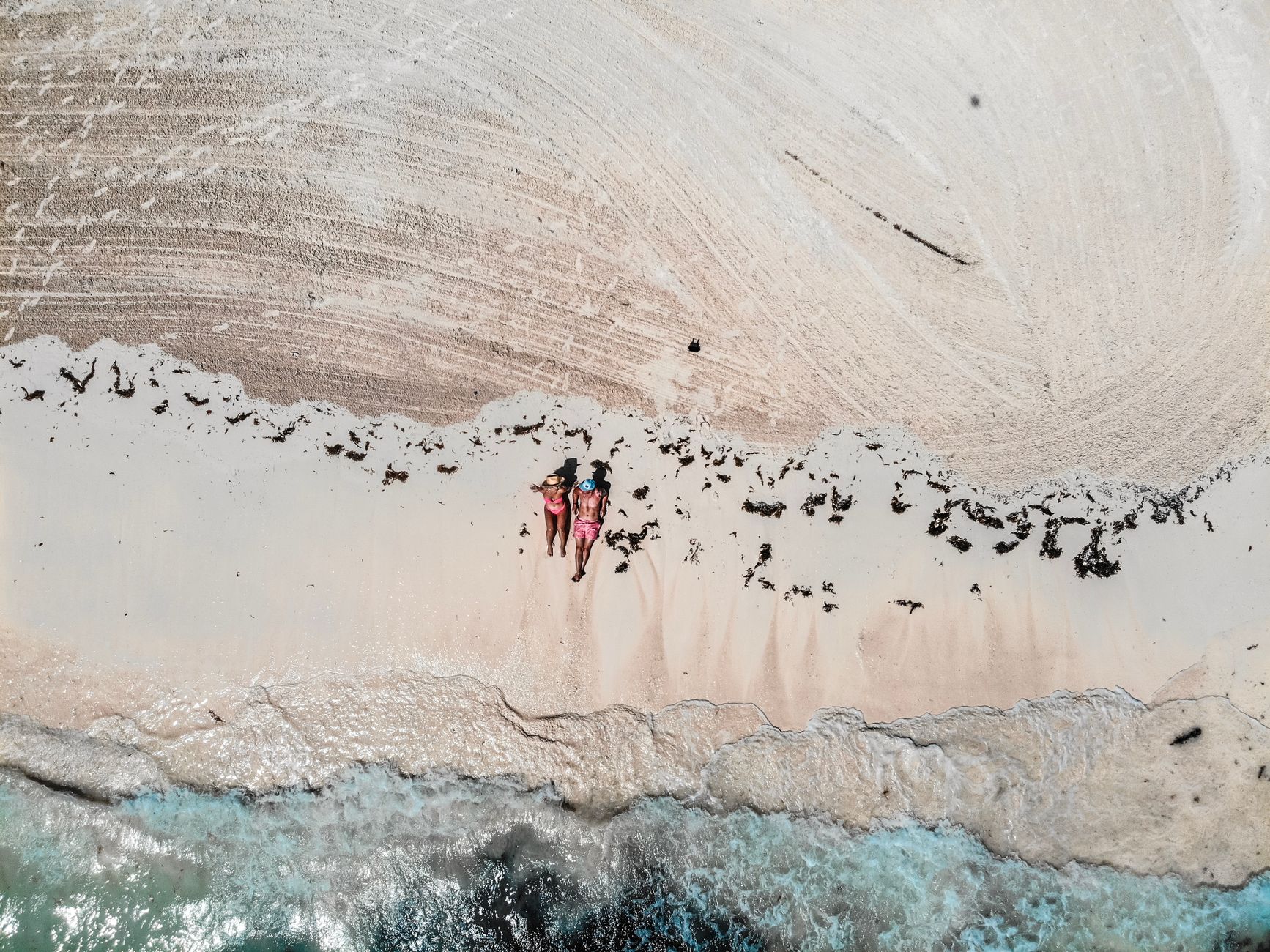
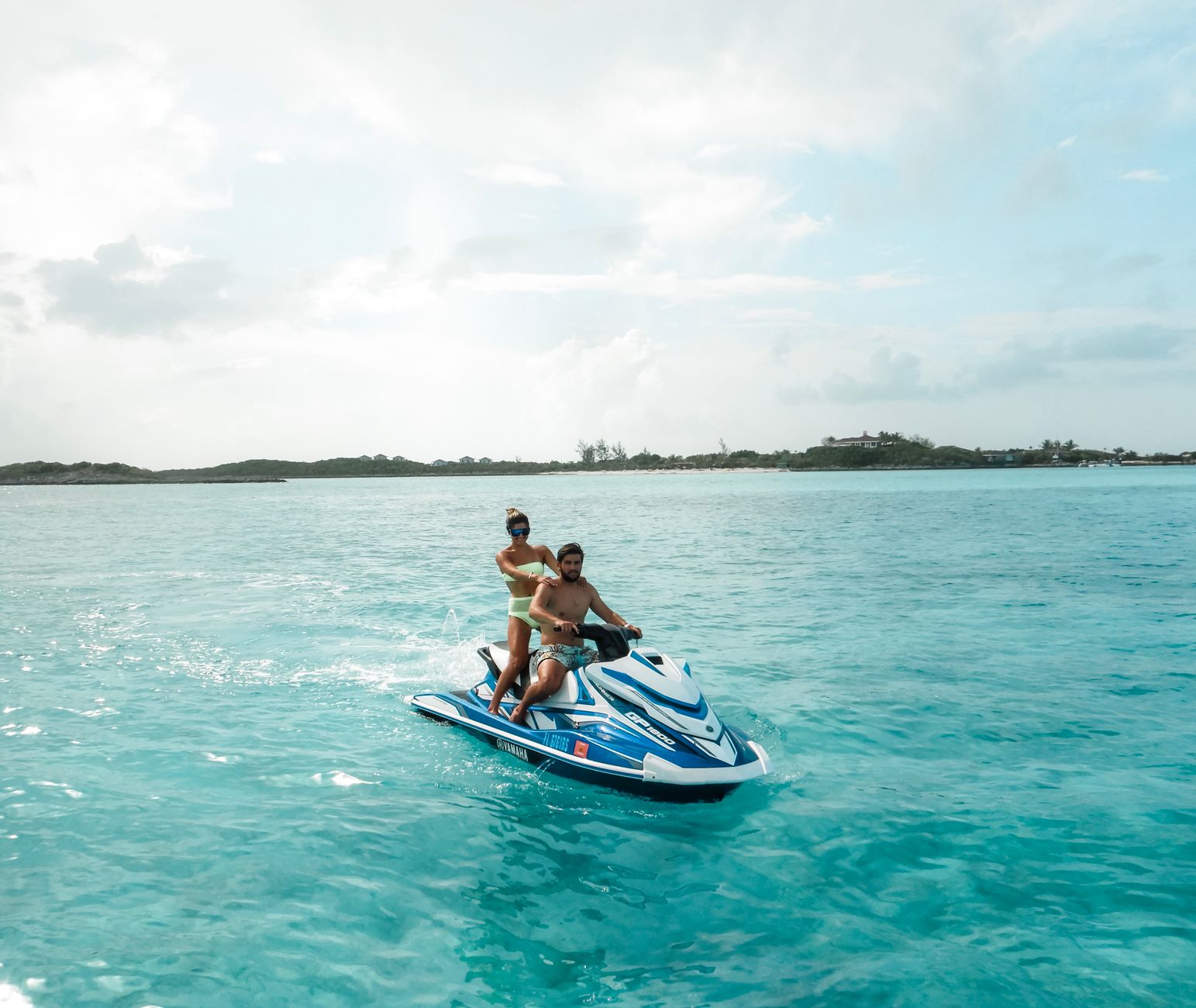

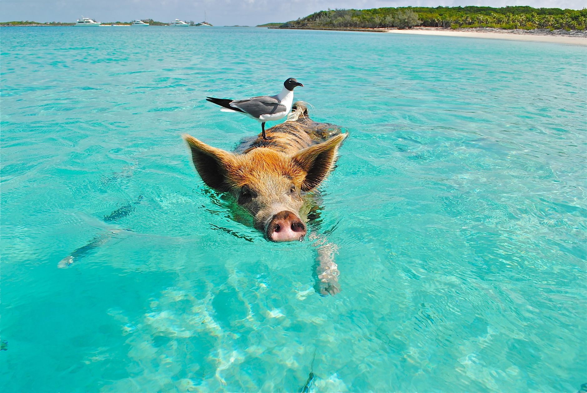
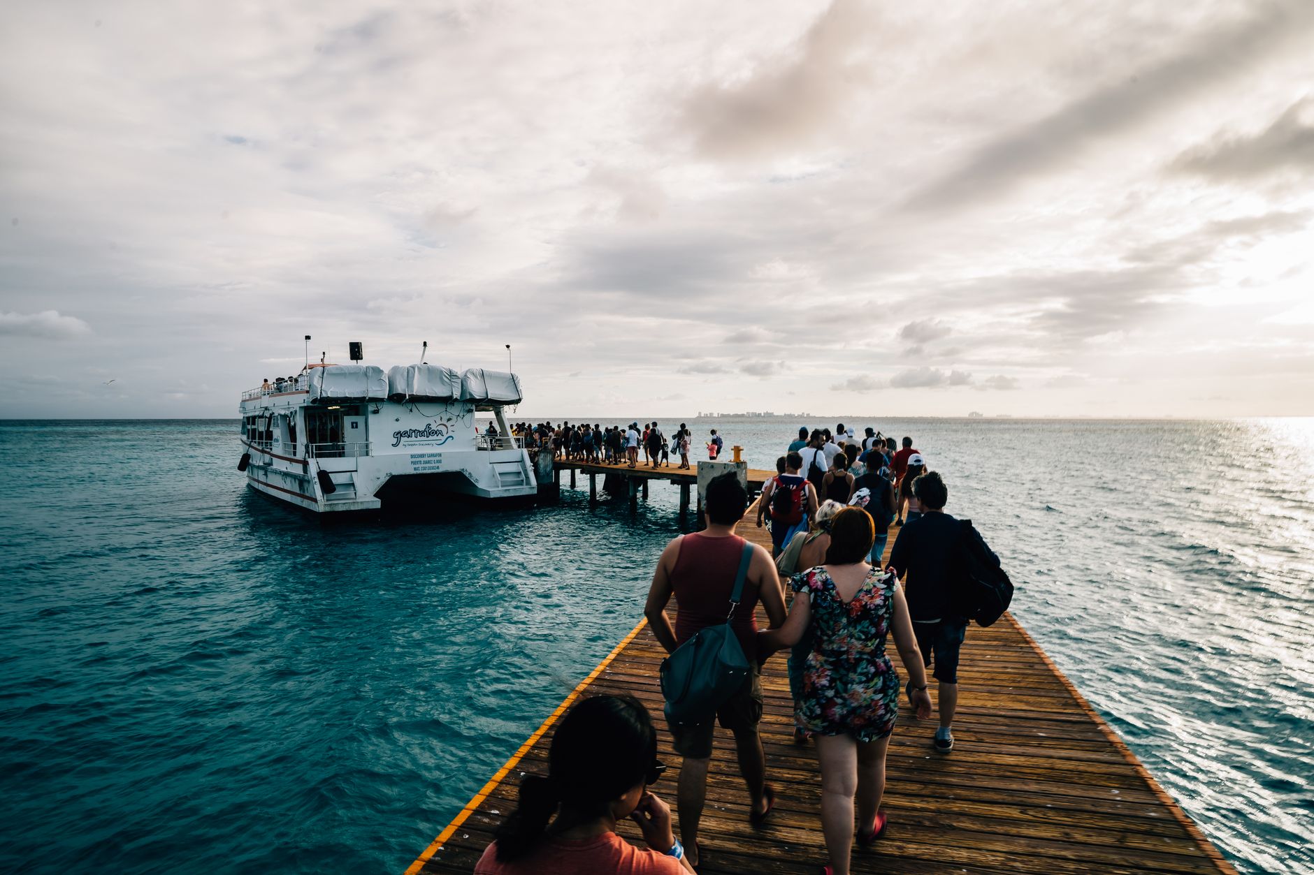
Exuma is 365 islands strung across 130 miles of the central Bahamas, most of them uninhabited, separated by water so clear you can count the conch shells from the deck of a boat. The chain divides neatly into three zones: the Exuma Cays to the north, Great Exuma in the middle (where the airport and the capital, George Town, sit), and Little Exuma to the south, connected by a short bridge.
What sets Exuma apart from the rest of the Bahamas is scale and quietude. Queen's Highway — the one road that threads through Great and Little Exuma — takes less than an hour to drive end to end. The Exuma Cays Land and Sea Park, established in 1959 as the world's first land-and-sea park, covers over 100,000 acres and remains one of the most intact marine ecosystems in the Atlantic.
💛 What travellers fall for
Return visitors tend to anchor their days around water taxis rather than cars. The $15 round-trip from George Town to Stocking Island, with a stop at Chat N Chill on the beach, is the kind of afternoon that becomes a daily ritual. Rent a car for the inland drives, but for the cays, you'll want a boat.
How Exuma came to be
The Lucayan people lived across the Exumas for centuries until Spanish colonizers enslaved and removed them entirely in the early 16th century, leaving the islands empty for nearly 200 years. Settlement resumed around 1783, when American Loyalists — unwilling to stay in the newly independent United States — arrived and began planting cotton. George Town was founded in 1793 and named in honour of George III. The oldest standing structure, the Cotton House in Williams Town, dates to the 1750s, built by the Kelsall family before the Loyalists arrived.
The most consequential figure in Exuma's history is John Rolle, 1st Baron Rolle, whose land grant from the British Crown covered thousands of acres. When he died in 1842, he left his entire Exuma holdings to the enslaved people who had worked them — an act that shaped the social geography of the islands permanently. The settlements of Rolleville and Rolle Town still carry his name, as do many of the island's residents.
Who and what shaped it
People who shaped it
Landmark buildings
See Exuma in motion
Plan your visit
On the map
When to go
Winters (December through April) are the driest and clearest months, with warm days and cooler evenings — the easiest time to be here. Summers run hot and humid with frequent afternoon clouds and the occasional hurricane threat from June through November; the water is at its warmest then, but the air can feel oppressive by midday.
Right now
Background & history adapted from Wikipedia (CC BY-SA) · specs from Wikidata (CC0) · weather from Open-Meteo · map data © OpenStreetMap contributors · photos from Wikimedia Commons / Unsplash with per-image credit. No third-party reviews or social posts reproduced.