
Espiritu Santo
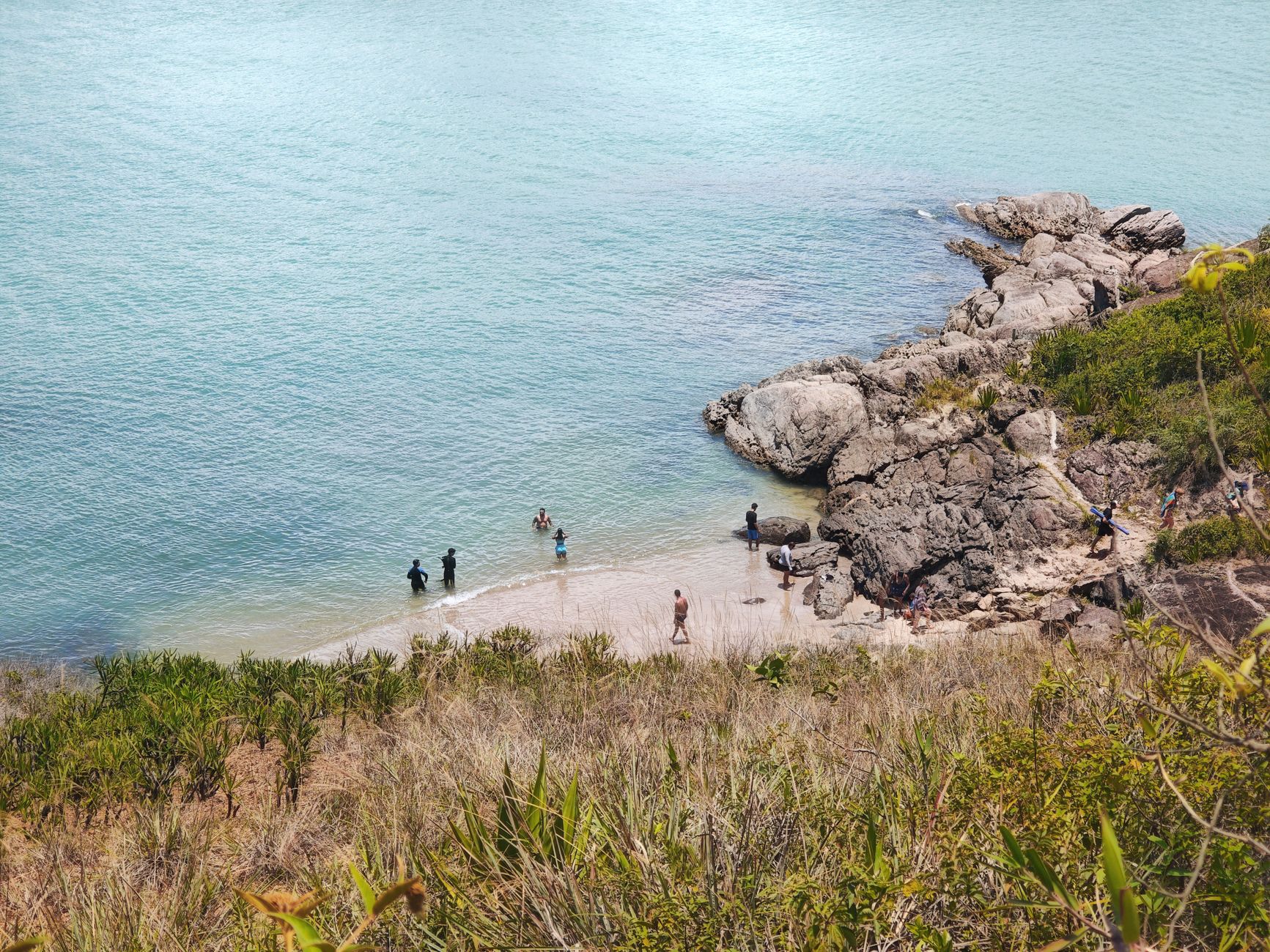

Espiritu Santo is Vanuatu's largest island, and the first thing that orients you is scale — the interior rises to Mount Tabwemasana at 1,879 metres, the rainforest is genuinely thick, and the coastline keeps opening onto stretches of white sand that see almost no one. Luganville, on the southeast coast, is the island's main town and your practical base, but the island itself is the destination: blue holes fed by underground springs, the rusting tonnage of American WWII equipment piled into the sea at Million Dollar Point, and below the surface, the vast wreck of the SS President Coolidge.
💛 What travellers fall for
People who come back tend to rent a car from the Espiritu Hotel — 10,000 vatu a day — and spend at least one morning at Champagne Beach before the tour groups arrive. The Loru Rainforest Protected Area, established by Chief Caleb Ser, rewards a slower pace than most visitors give it. Bring cash in vatu; smaller sites run on it.
Deals in Espiritu Santo
Book directly at the provider


How Espiritu Santo came to be
In 1606, Portuguese explorer Pedro Fernandes de Queirós sailed into Big Bay at the island's north end, named the land La Austrialia del Espíritu Santo — believing he had found the fabled Terra Australis — and announced plans for a city called Nova Jerusalem. He left without building it, and no European returned for 160 years, until Bougainville in 1768 and Cook in 1774.
The island's modern shape owes much to the Second World War, when Luganville became a major American staging base. After the war, the Americans offered their surplus equipment to the colonial administration at cost; when the offer was refused, they drove vehicles, machinery, and supplies into the sea at what became Million Dollar Point. Independence came on 31 July 1980, though not quietly — a rebellion led by Jimmy Stevens under the banner of the short-lived Republic of Vemerana held the island from May to August that year before Papua New Guinean forces, requested by the new Vanuatu government, brought it to an end.
Who and what shaped it
People who shaped it
Landmark buildings
See Espiritu Santo in motion
Plan your visit
On the map
When to go
The wet season runs roughly November through April, bringing heavy rain and the occasional cyclone; humidity is high and some roads become impassable. May to October is drier and cooler, the period most suited to diving, hiking, and cave exploration.
Right now
Background & history adapted from Wikipedia (CC BY-SA) · specs from Wikidata (CC0) · weather from Open-Meteo · map data © OpenStreetMap contributors · photos from Wikimedia Commons / Unsplash with per-image credit. No third-party reviews or social posts reproduced.