
Eleuthera
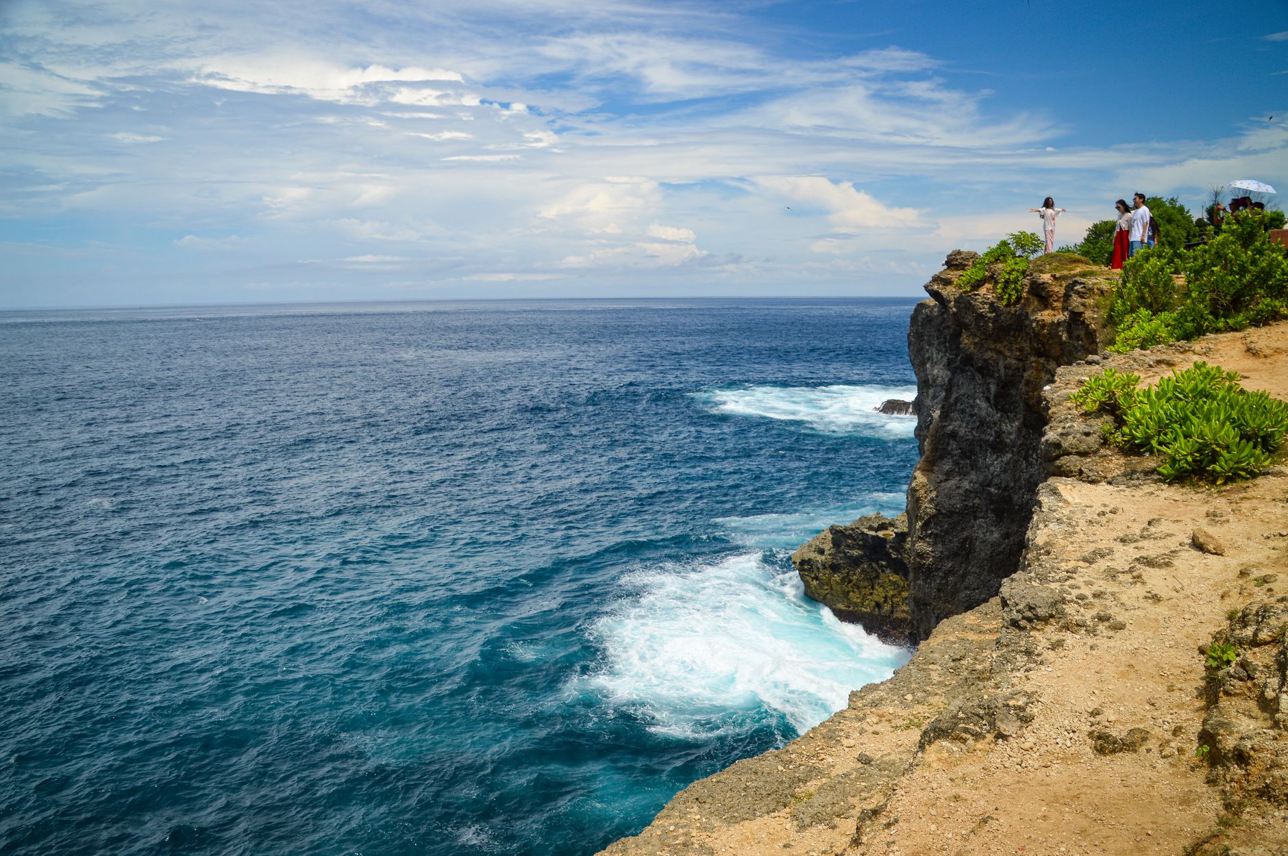
Eleuthera is a long, thin sliver of an island — barely a mile wide at its narrowest point — stretching roughly 110 miles through the central Bahamas. That narrowness is the thing. Stand at the Glass Window Bridge and you can see the Atlantic on one side, deep and cobalt and restless, and the calm turquoise of the Bight of Eleuthera on the other. The contrast is almost theatrical.
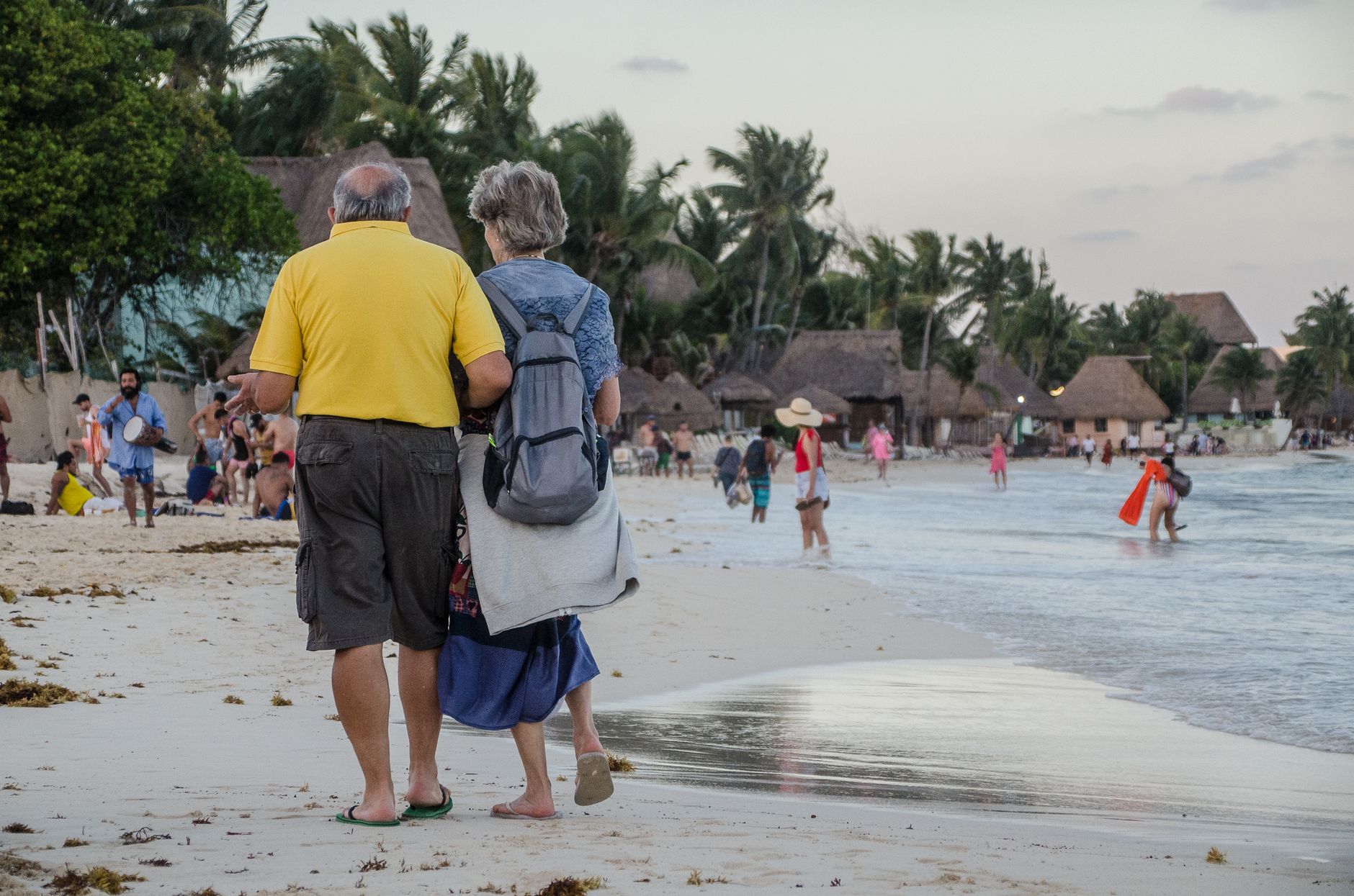
The island runs from scrubby, windswept north to quieter, less-travelled south, with Governor's Harbour sitting in the middle like a small colonial town that time has treated gently. Pink-sand beaches, limestone pools, and a first national park of native plants fill the miles between settlements. This is not a resort island with a single focal point — it rewards people who are willing to drive.
💛 What travellers fall for
People who come back tend to rent a car immediately and head for the Atlantic side. The potholes are real — locals are not exaggerating — so a 4x4 is worth the extra cost. Fill up whenever you see a petrol station; fuel runs over six dollars a gallon and stations are sparse. The Queen's Bath near Glass Window Bridge is best at high tide, when the limestone pools warm up.
How Eleuthera came to be
The name comes from the Greek word for freedom, which was the explicit point. In 1648, Captain William Sayles — a former Governor of Bermuda who had fallen out of favour with the Crown — led a group of Puritan colonists called the Eleutheran Adventurers across the water from Bermuda in search of a place to worship without interference. Their ship wrecked on arrival. The survivors sheltered in a large cave near what is now Gene's Bay, holding religious services inside it; that cave, Preacher's Cave, still stands, a stone plaque at its entrance marking the moment.
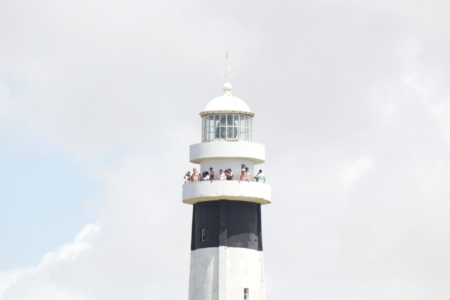
Before any of this, the island was Lucayan territory — they called it Cigateo, meaning distant rocky land — until Spanish slavers transported the population to South American mines in the 1500s, leaving the island effectively empty. Sayles petitioned the English Parliament in 1654 to formalise the settlement as a kind of utopia. The Bahamas gained independence in 1973, and new land-ownership laws gradually opened the island to outside investment. Hurricane Andrew hit hard in 1992, a Category 5 storm that sent an eighteen-foot surge across the land. More recently, Disney Cruise Line purchased and developed Lighthouse Point in the south, donating 190 acres to the government as a national park.
Who and what shaped it
People who shaped it
Landmark buildings
See Eleuthera in motion
Plan your visit
On the map
When to go
Winter and early spring — December through April — bring warm, dry days in the low-to-mid eighties Fahrenheit with reliable trade winds that keep the heat honest. Summer is hotter and more humid, and the Atlantic hurricane season runs June through November, with the greatest risk in August and September.
Right now
Background & history adapted from Wikipedia (CC BY-SA) · specs from Wikidata (CC0) · weather from Open-Meteo · map data © OpenStreetMap contributors · photos from Wikimedia Commons / Unsplash with per-image credit. No third-party reviews or social posts reproduced.