
El Hierro
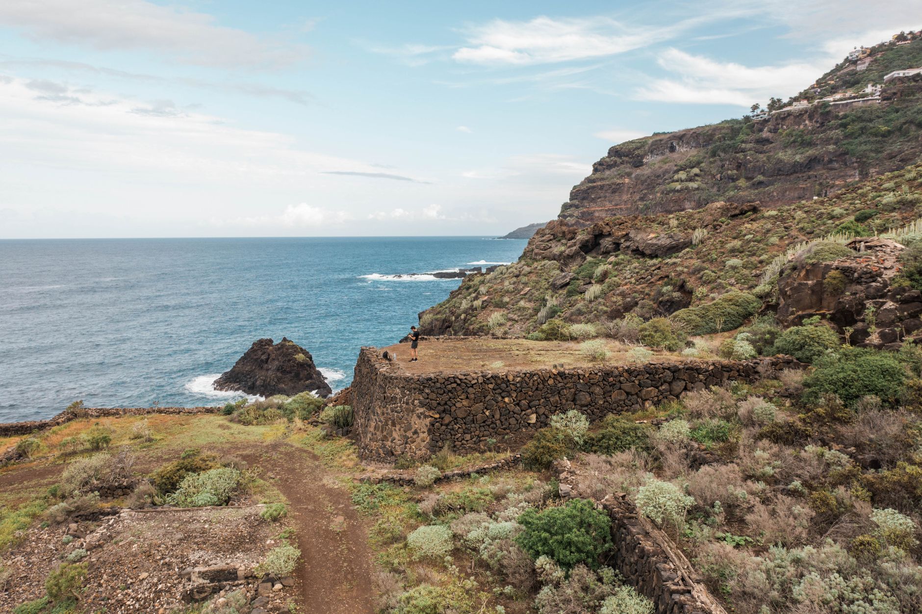
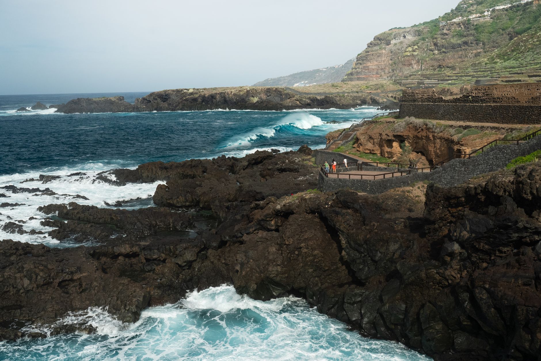
El Hierro sits at the western edge of the Canary Islands, small enough that you can drive its perimeter in an afternoon, old enough that Ptolemy used its southwestern tip — Punta de Orchilla — as the prime meridian of the ancient world. That reference point held for over a thousand years, until 1884, when Greenwich took over. The lighthouse still stands there.
This is the least visited of the main Canary Islands, and it stays that way partly by geography — a short flight from Tenerife or a two-and-a-half-hour ferry crossing — and partly by character. There are no resort strips. The interior is volcanic and dramatic: pine forests, lava fields, a collapsed caldera that opens toward the Atlantic. The island has been a UNESCO Biosphere Reserve since 2000 and a UNESCO Geopark since 2015, designations that carry real weight here.
How El Hierro came to be
The island emerged from the ocean floor around 1.2 million years ago through successive volcanic eruptions. Its first known inhabitants, the Bimbaches — communities of Amazigh/Berber origin from North Africa — were already established by at least 120 AD. They brought with them a whistled language, distinctive herding practices, and a water-harvesting knowledge suited to a dry volcanic island.
In 1403, the Norman conquistador Jean de Béthencourt arrived, bringing El Hierro under Spanish rule more through negotiation than open warfare. Ninety years later, in 1493, Christopher Columbus made a 17-day stop on his second voyage to the Americas. A fire destroyed Valverde's town hall and its archives — the oldest dating to 1553 — in 1899, leaving a gap in the written record that the landscape and the Ecomuseo de Guinea now help to fill.
Who and what shaped it
People who shaped it
Landmark buildings
See El Hierro in motion
Plan your visit
On the map
When to go
The coast stays mild year-round, with summer highs around 26–28°C and winters rarely dropping below 15°C at sea level; Valverde, sitting at around 600 metres, runs a few degrees cooler in every season. Spring (March–June) and autumn (September–November) offer the most comfortable conditions, with the northern and eastern slopes staying green from winter rains while the southern coast remains dry and sun-bleached.
Right now
Background & history adapted from Wikipedia (CC BY-SA) · specs from Wikidata (CC0) · weather from Open-Meteo · map data © OpenStreetMap contributors · photos from Wikimedia Commons / Unsplash with per-image credit. No third-party reviews or social posts reproduced.